![]()
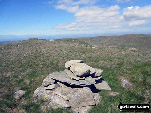
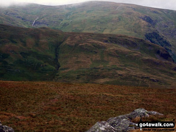
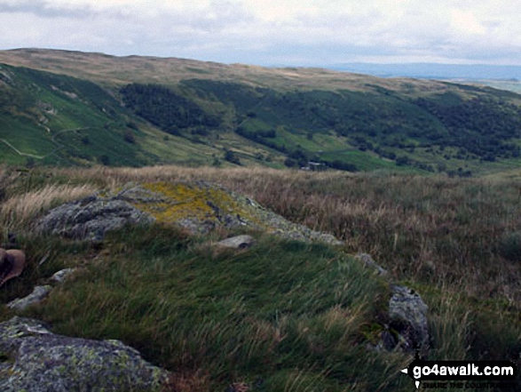
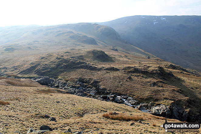
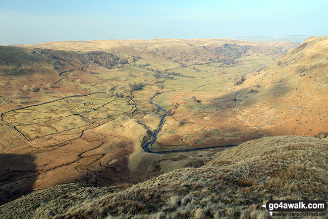
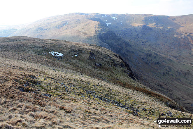
Nabs Moor
492m (1615ft)
The Far Eastern Fells, The Lake District, Cumbria, England
Not familiar with this top?
   |
|---|
Vital Statistics:
| Length: | 8.5mls (13.5km) |
|---|---|
| Ascent: | 1,952ft (595m) |
| Time: | 5 hrs |
| Grade: |  (Moderate) (Moderate) |
Route Summary:
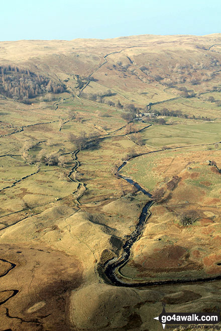
Swindale - Swindale Foot Farm - Swindale Beck - Starling Gill - Stubby Hest - Bracken Howe - Thiefstead - Langhowe Pike - High Katelade - Rowantree Crag - Blea Moss - Stone Howe - Glede Howe - Willy Winder Hill - Haskew Beck - Fewling Stones - Swindale Common - Mosedale Beck (Swindale) - Nabs Moor - Nabs Crag - Howes (Mosedale) - Nabs Crag - Nabs Moor - Dodd Bottom - Hobgrumble Gill - Swindale Head Farm - Truss Gap - Swindale Foot Farm - Swindale
|
|---|
Vital Statistics:
| Length: | 11mls (17.5km) |
|---|---|
| Ascent: | 2,655ft (809m) |
| Time: | 6.75hrs |
| Grade: |  (Hard) (Hard) |
Route Summary:
Swindale - Swindale Foot Farm - Swindale Beck - Starling Gill - Stubby Hest - Bracken Howe - Thiefstead - Langhowe Pike - High Katelade - Rowantree Crag - Blea Moss - Stone Howe - Glede Howe - Willy Winder Hill - Haskew Beck - Fewling Stones - Swindale Common - Mosedale Beck (Swindale) - Nabs Moor - Nabs Crag - Howes (Mosedale) - Captain Whelter Bog - Branstree (North East Top) - Branstree (Artlecrag Pike) - Swirle Crag - Selside Pike - High Blake Dodd - Selside End - High Birkin Knott - Low Birkin Knott - Old Corpse Road - Thorny Knott - Swindale Head Farm - Truss Gap - Swindale Foot Farm - Swindale
See Nabs Moor and the surrounding tops on our free-to-access 'Google Style' Peak Bagging Maps:
The Far Eastern Fells of The Lake District National Park
Less data - quicker to download
The Whole of The Lake District National Park
More data - might take a little longer to download
See Nabs Moor and the surrounding tops on our downloadable Peak Bagging Maps in PDF format:

NB: Whether you print off a copy or download it to your phone, these PDF Peak Baggers' Maps might prove incredibly useful when your are up there on the tops and you cannot get a phone signal.
*This version is marked with the walk routes you need to follow to Walk all 214 Wainwrights in just 59 walks.
You can find Nabs Moor & all the walks that climb it on these unique free-to-access Interactive Walk Planning Maps:
1:25,000 scale OS Explorer Map (orange/yellow covers):
1:50,000 scale OS Landranger Map (pink/magenta covers):
 Fellow go4awalkers who have already walked, climbed, summited & bagged Nabs Moor
Angeline Grieveson walked up it on November 13th, 2022 [with] Dotty
Christine Shepherd climbed it on June 2nd, 2016 [from/via/route] Walked from the Swindale Road using Wainwright's Outlying Fells. [with] On my own [weather] Sunny & very warm.
Mark Davidson bagged it on March 19th, 2015 [with] Alone [weather] Bright & sunny but with a very cold northerly wind
Louise Sandwith, Paul Macey and David Preston have all walked, climbed & bagged Nabs Moor.
To add (or remove) your name and experiences on this page - Log On and edit your Personal Mountain Bagging Record
More Photographs & Pictures of views from, on or of Nabs Moor

Send us your photographs and pictures on, of, or from Nabs Moor
If you would like to add your walk photographs and pictures to this page, please send them as email attachments (configured for any computer) along with your name to:
and we shall do our best to publish them.
(Guide Resolution = 300dpi. At least = 660pixels (wide) x 440 pixels (high).)

You can also submit photos via our Facebook Page.
NB. Please indicate where each photo was taken and whether you wish us to credit your photos with a Username or your First Name/Last Name.
Not familiar with this top?