   |
Vital Statistics:
| Length: | 11¼mls (18km) |
| Ascent: | 3,436ft (1,047m) |
| Time: | 7½hrs |
| Grade: |  |
Route outline for walk c362:
Mardale Head - Haweswater Reservoir - Rowantreethwaite Beck - Old Corpse Road - Selside Pike - Branstree (North East Top) - Branstree (Artlecrag Pike) - Gatescarth Pass - Adam Seat - Harter Fell (Mardale) - Nan Bield Pass - Mardale Ill Bell - High Street - Riggindale Crag - Caspel Gate - Rough Crag (Riggindale) - Eagle Crag (Riggindale) - Heron Crag (Riggindale) - Swine Crag (Riggindale) - Dudderwick - The Rigg - Mardale Head
Peaks, Summits and Tops reached on this walk:
 5 English Mountains |
 6 Wainwrights |
 6 English Nuttalls |
 0 English Deweys |
 0 Wainwright Outlying Fells |
 1 Marilyn |
 1 Bridget |
Peak Bagging Statistics for this walk:
The highest point of this walk is High Street at 828m (2717ft). High Street is classified as an English Mountain (Hewitt) (32nd highest in England, 61st highest in England & Wales) and a Wainwright (No. 25).
High Street is also known as an English Nuttall (38th highest in England, 70th highest in England & Wales) and an English Marilyn (11th highest in England, 345th highest in the UK).
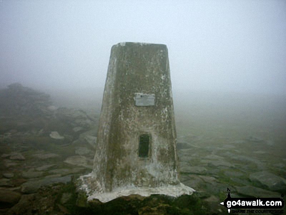
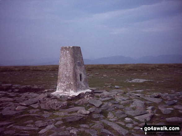
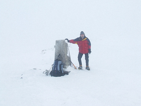
The summit of High Street is marked by an Ordnance Survey Trig Point.
Completing this walk will also take you to the top of Harter Fell (Mardale) at 779m (2556ft). Harter Fell (Mardale) is classified as an English Mountain (Hewitt) (54th highest in England, 96th highest in England & Wales) and a Wainwright (No. 47).
Harter Fell (Mardale) is also known as an English Nuttall (66th highest in England, 118th highest in England & Wales).
You will also reach the summit of Mardale Ill Bell at 760m (2494ft). Mardale Ill Bell is classified as an Wainwright (No. 59).
Along the way you will also bag:
- Branstree (Artlecrag Pike) at 713m (2340ft). Branstree (Artlecrag Pike) is classified as an English Mountain (Hewitt) (92nd highest in England, 155th highest in England & Wales), a Wainwright (No. 82) and an English Nuttall (116th highest in England, 195th highest in England & Wales).
- Branstree (North East Top) at 673m (2208ft). Branstree (North East Top) is known as an English Nuttall (164th highest in England, 277th highest in England & Wales).
- Adam Seat at 666m (2186ft). Adam Seat is known as an English Bridget.
- Selside Pike at 655m (2150ft). Selside Pike is classified as an English Mountain (Hewitt) (139th highest in England, 241st highest in England & Wales), a Wainwright (No. 110) and an English Nuttall (187th highest in England, 323rd highest in England & Wales).
- Rough Crag (Riggindale) at 628m (2060ft). Rough Crag (Riggindale) is classified as an English Mountain (Hewitt) (163rd England, 282nd Eng & Wal) and an English Nuttall (219th highest in England, 382nd highest in England & Wales).
- Eagle Crag at 525m (1723ft). Eagle Crag is classified as a Wainwright (No. 160)
You can find more walks near this one on these unique free-to-access Interactive Walk Planning Maps: (click/TAP to select)
1:25,000 scale OS Explorer Maps (the ones with orange/yellow covers):
1:50,000 scale OS Landranger Map (the ones with pink/magenta covers):
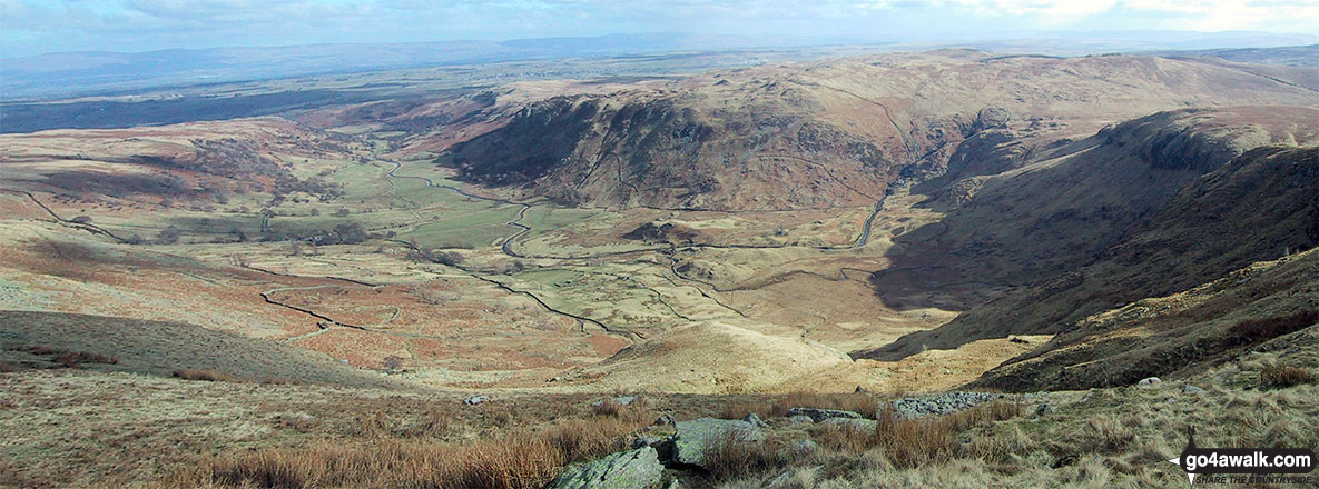
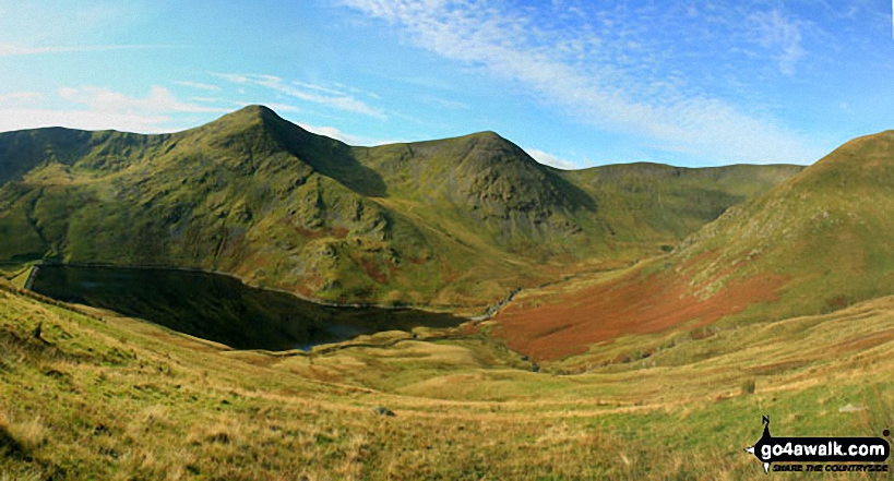
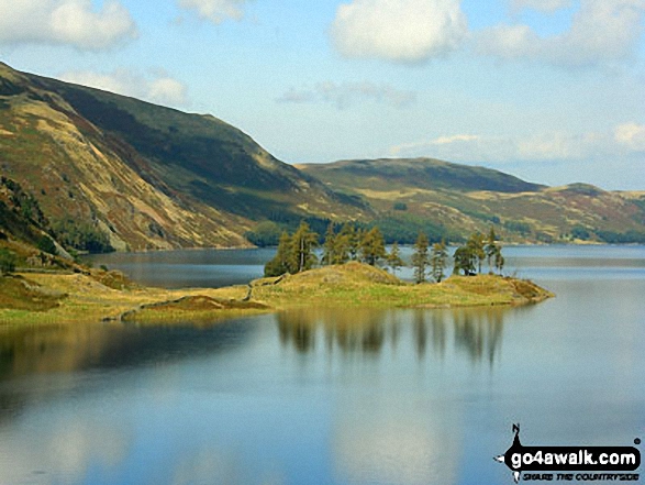
Some Photos and Pictures from Walk c362 Branstree and High Street from Mardale Head
In no particular order . . .
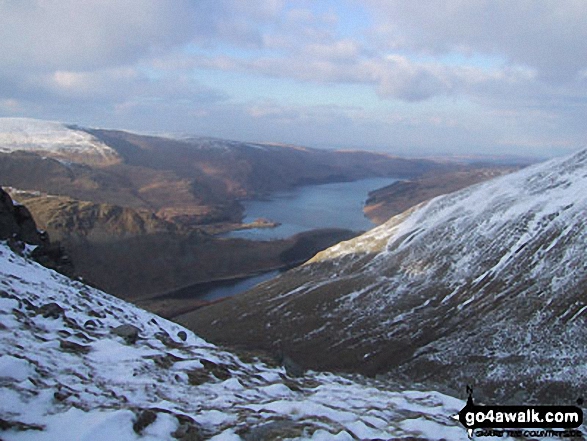
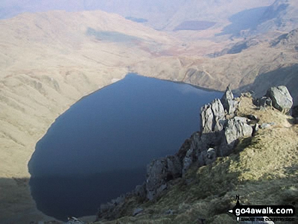
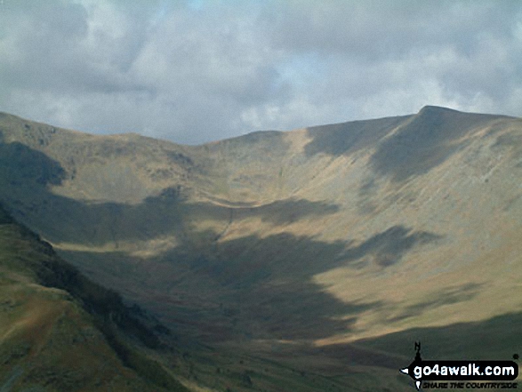
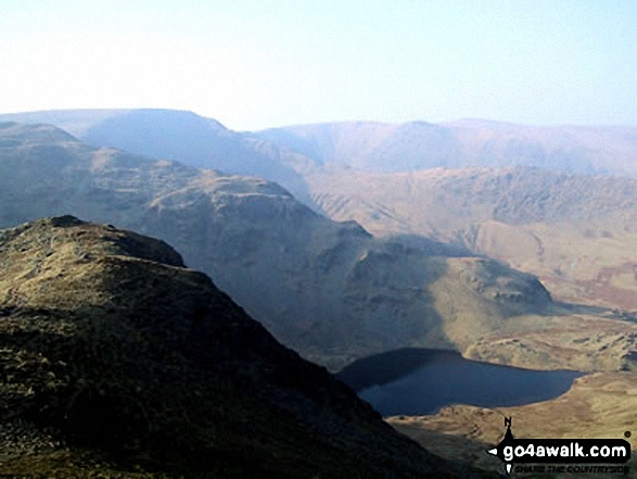
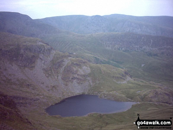
Rough Crag beyond Blea Water from above Blea Water Crag between High Street and Mardale Ill Bell
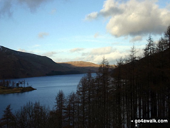
*Hayeswater with the Fairfield and Helvellyn Ridges beyond from High Street

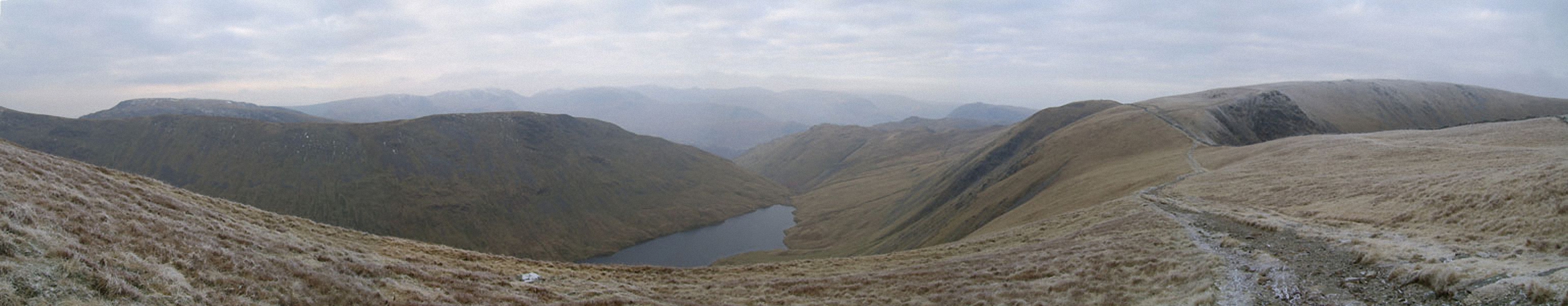
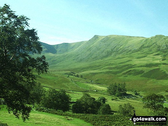
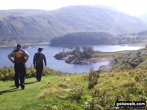
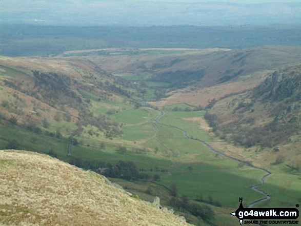
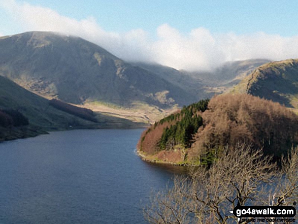
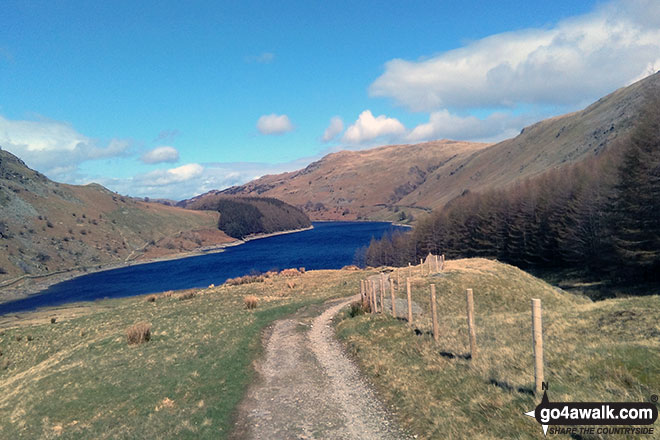
The Rigg with Rough Crag (Riggindale) and High Street beyond from near Rowantreethwaite Beck, Haweswater Reservoir
High Street (behind the tree). Straits of Riggindale, Head of Riggindale Beck and Kidsty Pike from Haweswater Reservoir
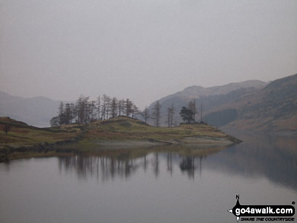
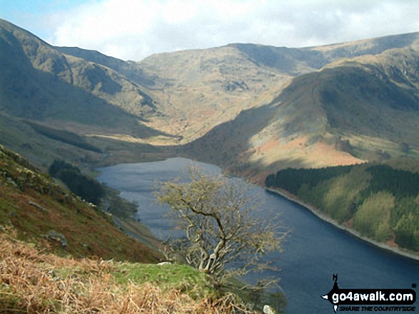
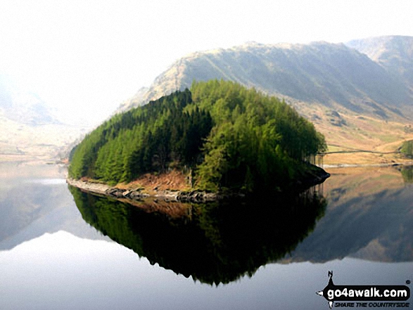
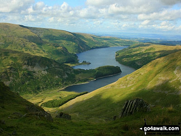
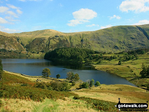
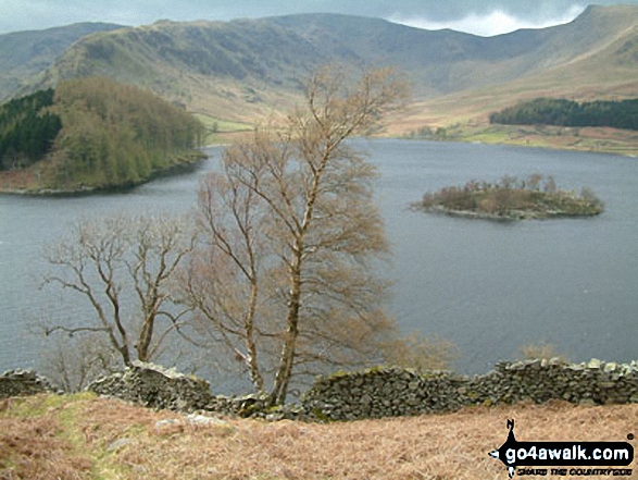
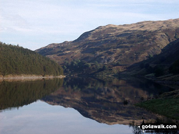
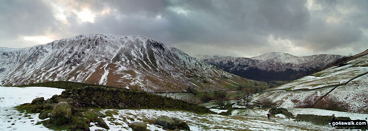
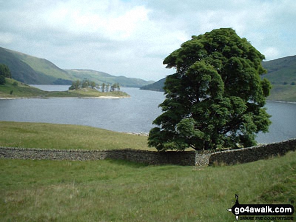
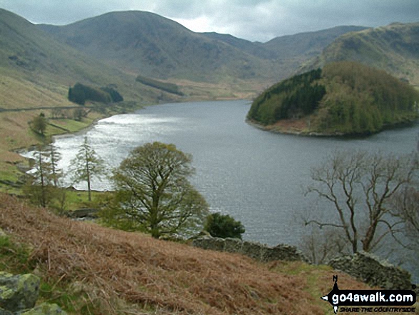
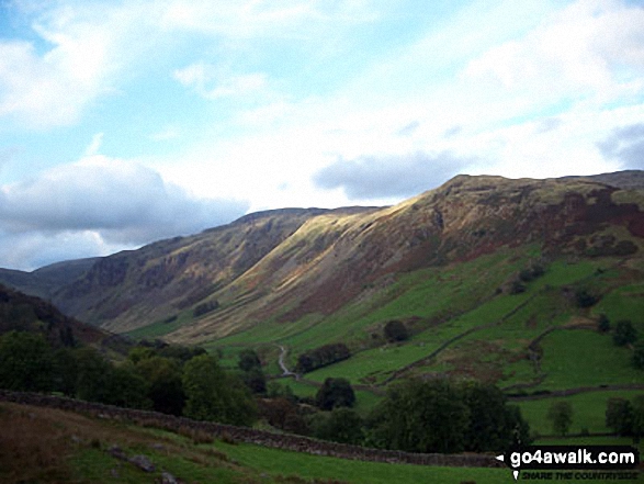
Haweswater Reservoir, The Rigg with Branstree (Artlecrag Pike) beyond from near Castle Crag
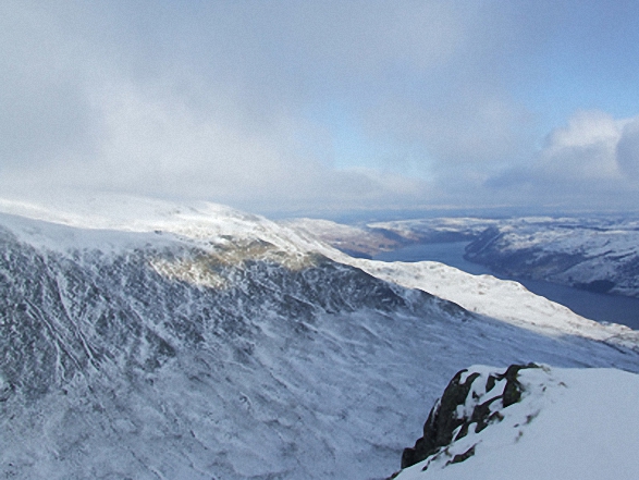
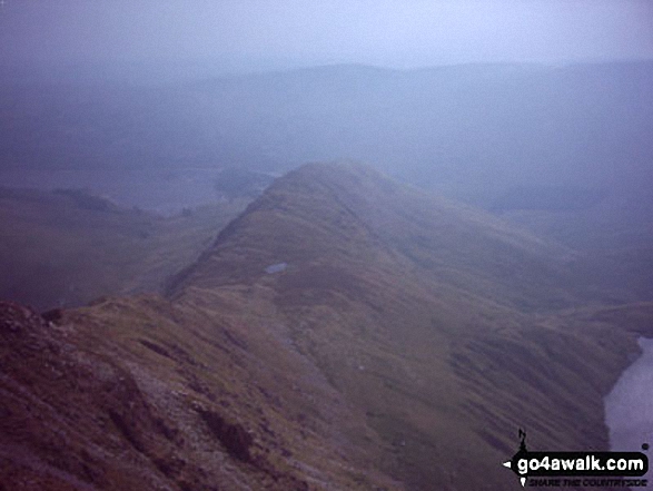
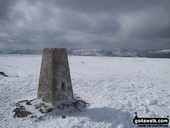
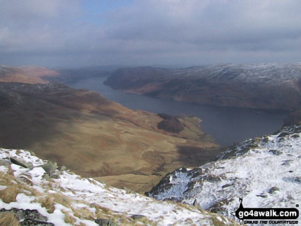
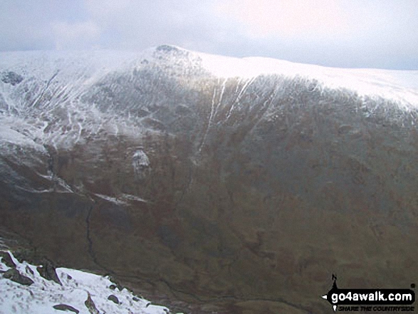
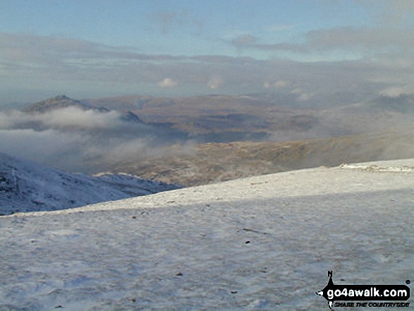
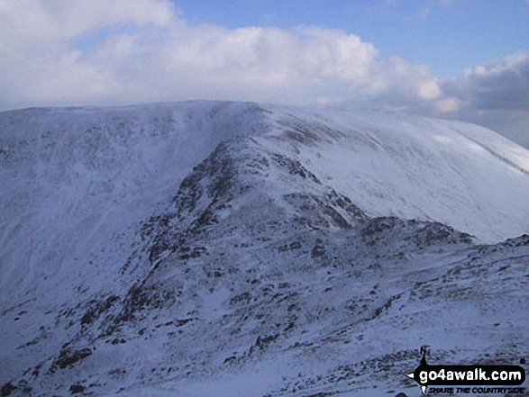
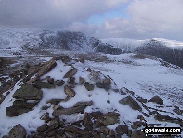
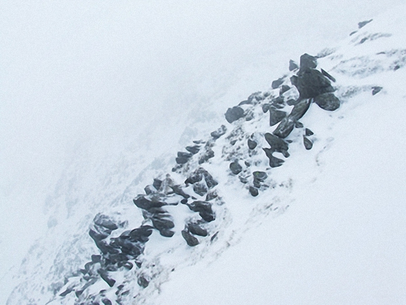
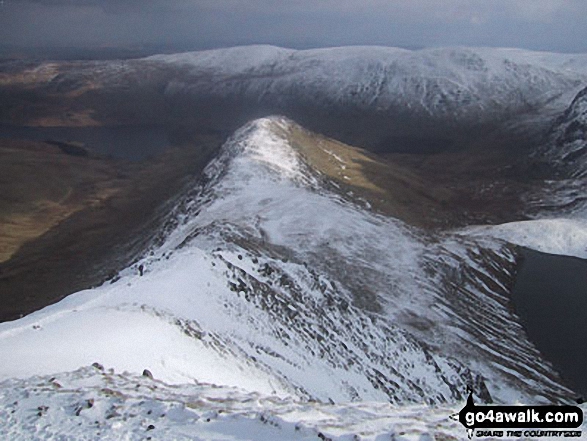
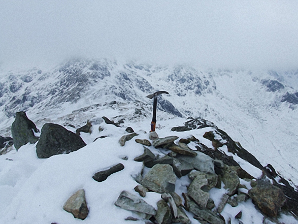
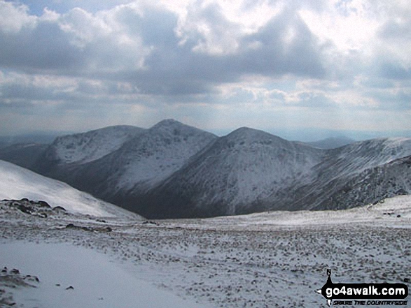
Looking back to Kidsty Howes and Haweswater from Rough Crag (Riggindale) summit in the snow
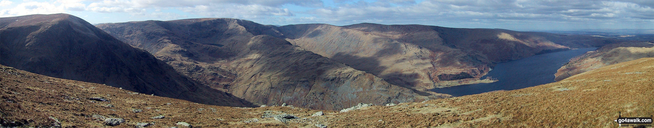
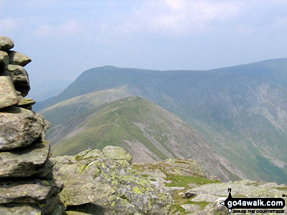
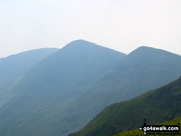
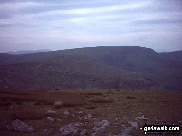
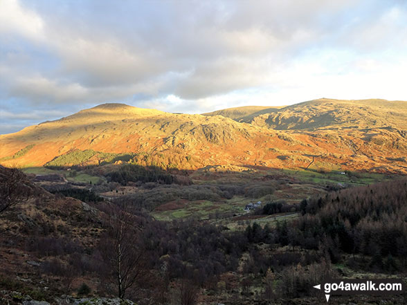
The view from the summit of Branstree (Artlecrag Pike) featuring Harter Fell (Mardale) (left), High Street, Rough Crag, High Raise (Mardale) and Whether How above Haweswater Reservoir
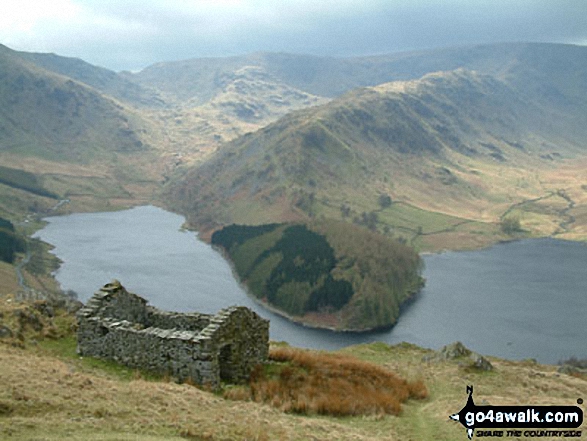
Overlooking the ruins of Riggindale Farm with Haweswater Reservoir beyond from the lower slopes of Rough Crag (Riggindale)
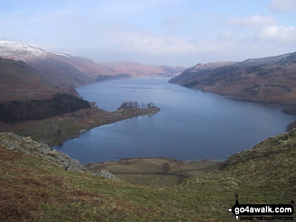
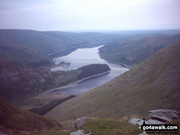
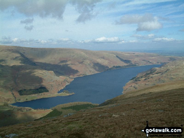
High Street, The Rigg and Rough Crag (Riggindale) across Haweswater Reservoir
The Rigg and Haweswater Reservoir with Rough Crag and High Street beyond from The Old Corpse Road on Mardale Common
Yoke, Ill Bell, Froswick and the shoulder of Lingmell End (Mardale Ill Bell) above Kentmere Reservoir from Harter Fell (Mardale)
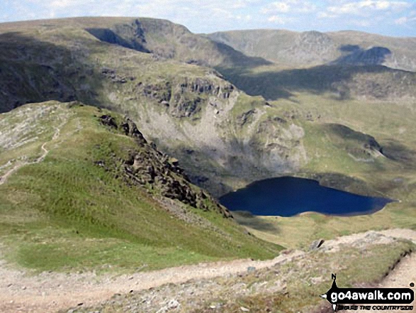
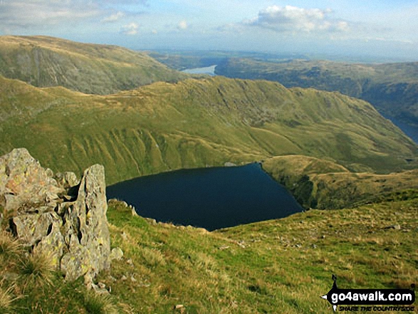
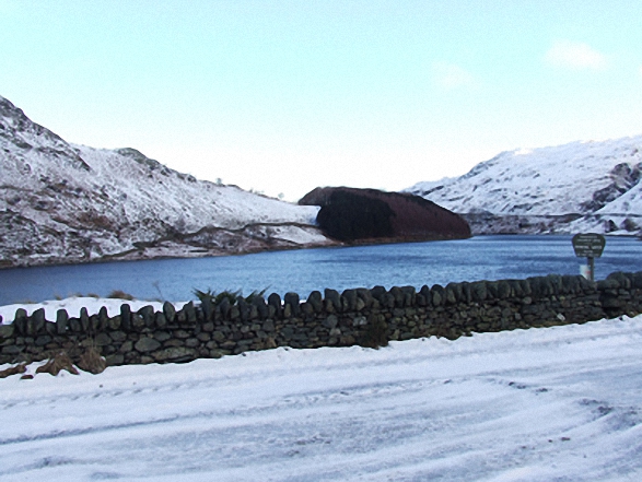
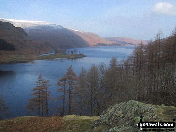
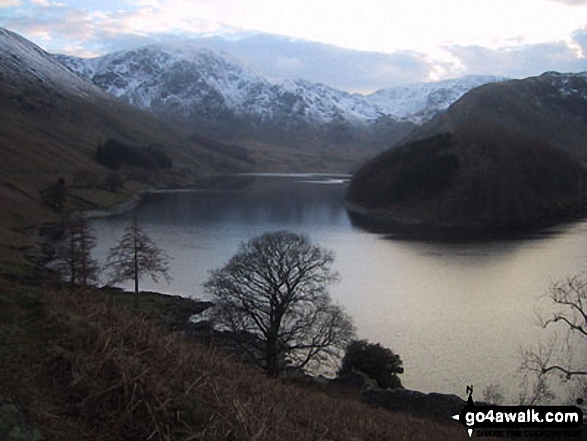
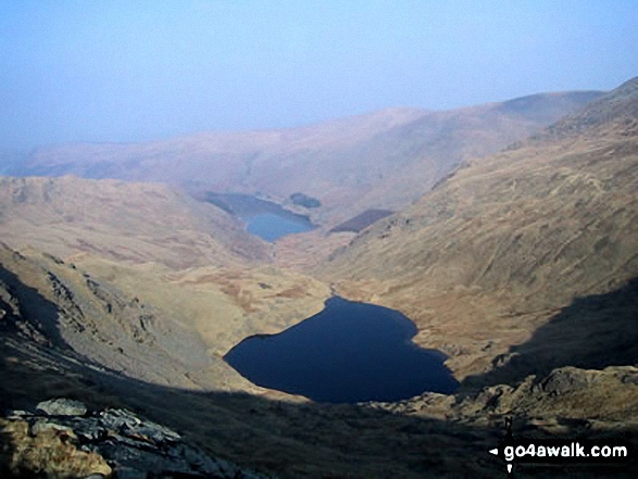
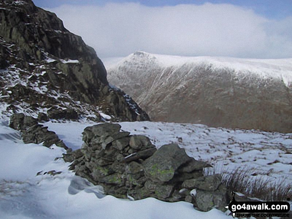
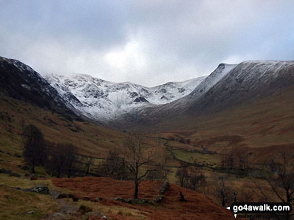
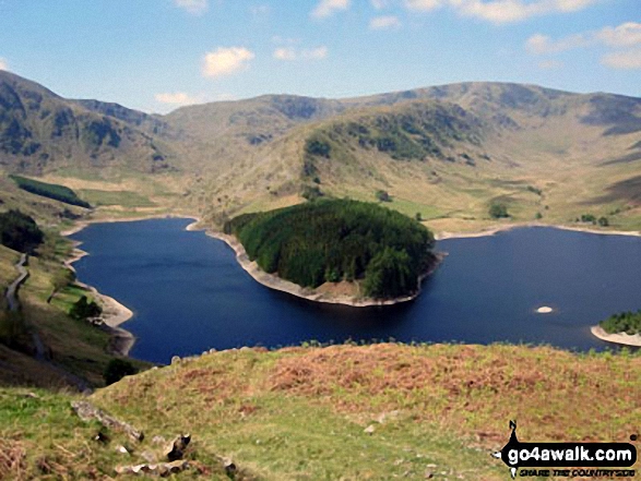
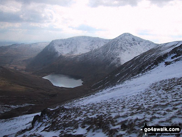
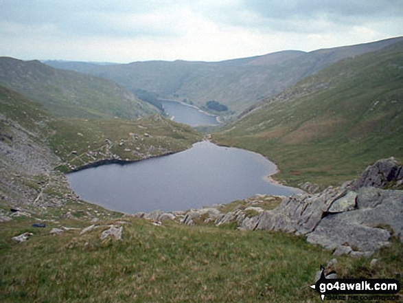
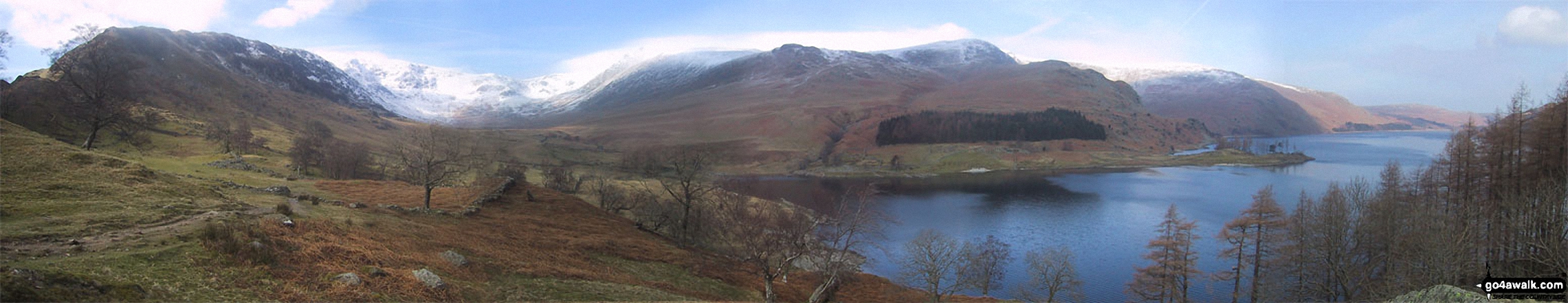
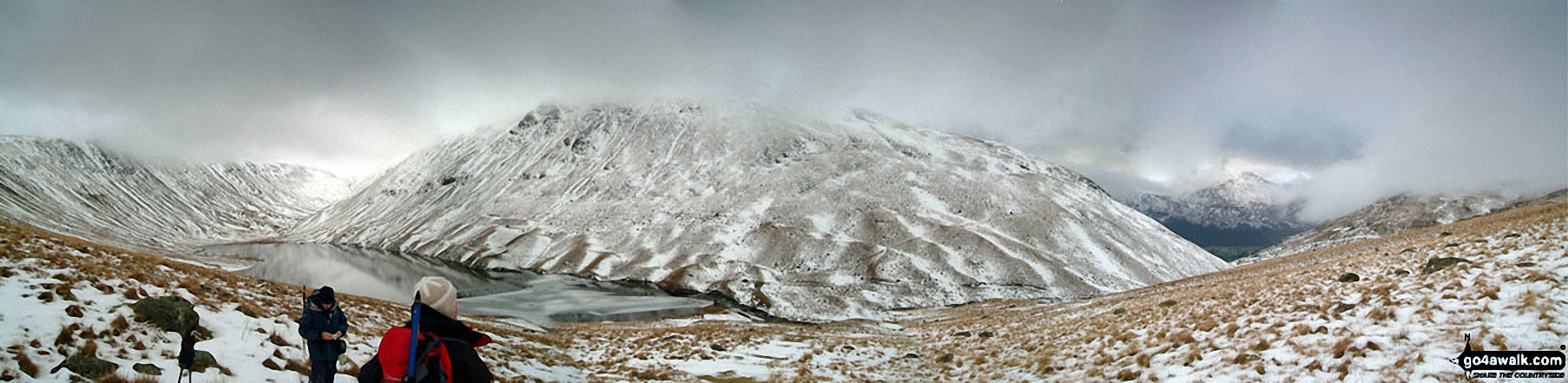
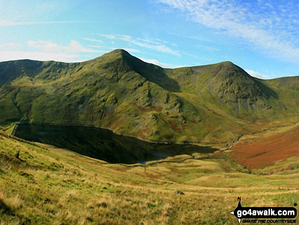
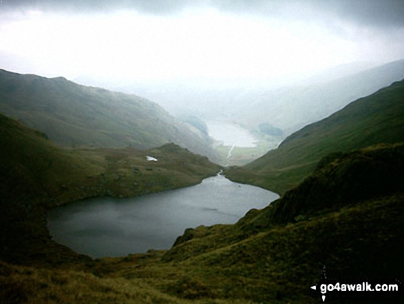
Nan Bield Pass and Small Water with Rough Crag and High Street beyond from Harter Fell (Mardale)
The Rigg (bottom left), Rough Crag (Riggindale) and High Street with a touch of snow on it across Haweswater Reservoir from near Rowantreethwaite Beck on Mardale Banks
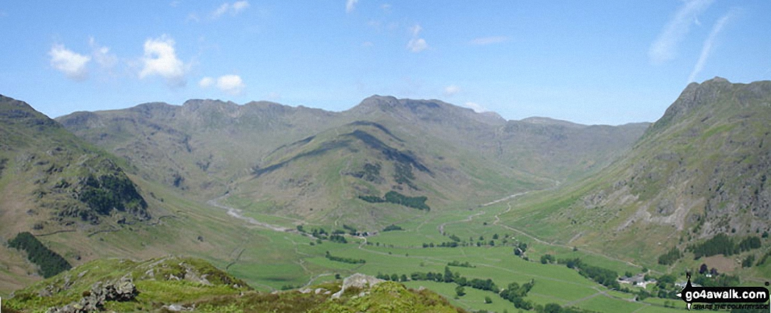
*Kettle Crag (left), Oxendale, The Band (centre - with Crinkle Crags (Crinkle Crags (South Top), Crinkle Crags (Long Top), & Gunson Knott) (top left) and Bow Fell (Bowfell) (top right), Mickleden and The Langdale Pikes from Side Pike
The Rigg and Haweswater Reservoir from the lower slopes of Branstree (Artlecrag Pike)
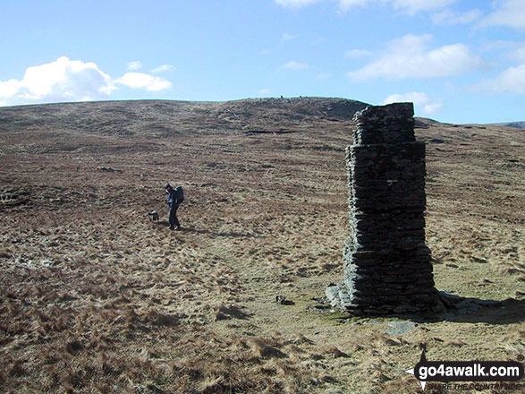
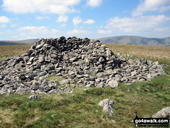
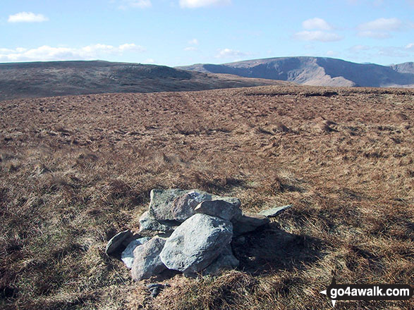
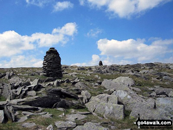
Stone pillar in the col between Branstree (North East Top) and Branstree (Artlecrag Pike)
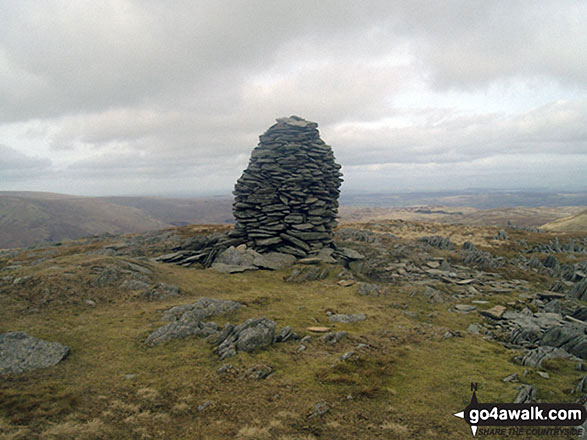
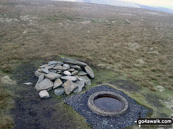
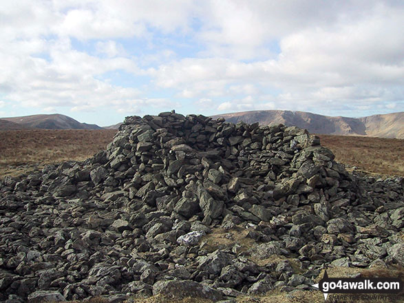
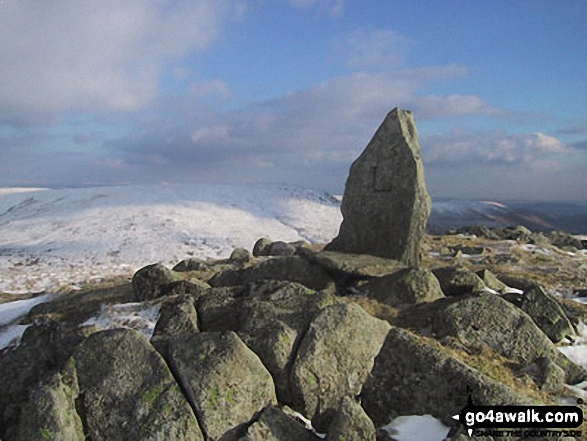
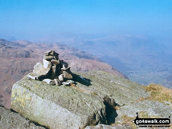
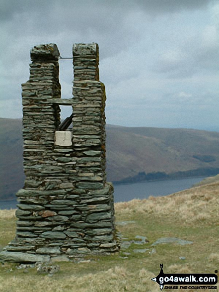
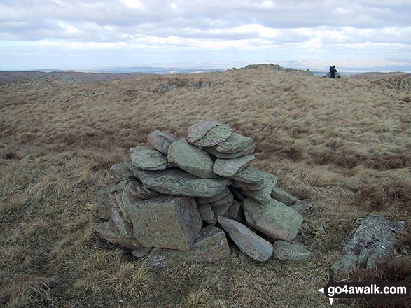
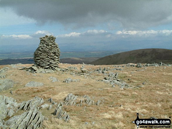
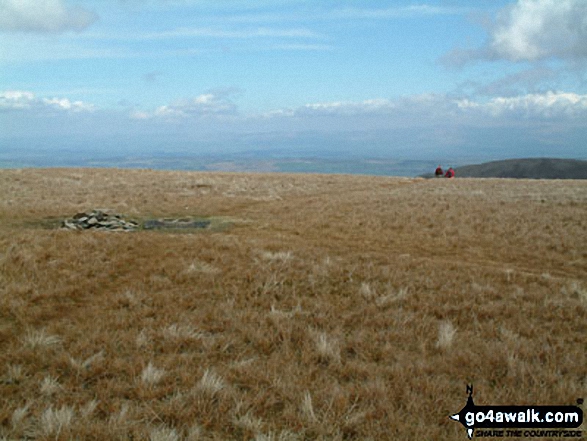
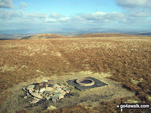
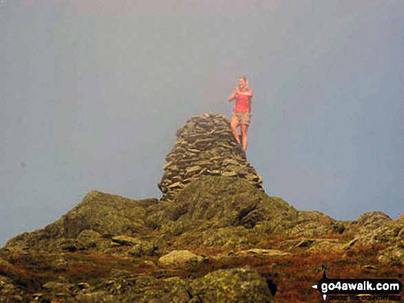
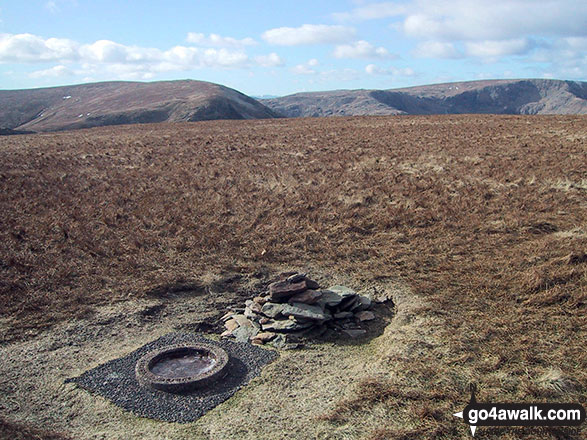
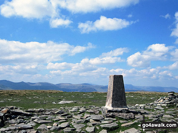
The Ordnance Survey Concrete Ring on the summit of Branstree (Artlecrag Pike)
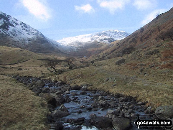
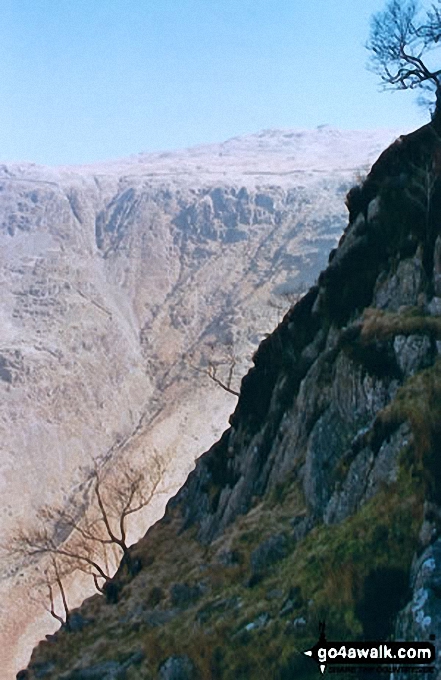
Duddon Valley and the Seathwaite Fells (Dow Crag & Brown Pike) from the path up Harter Fell (Eskdale)
*High Street, Blea Water, Rough Crag (Riggindale), Riggindale, Kidsty Pike and Haweswater Reservoir from The Rigg
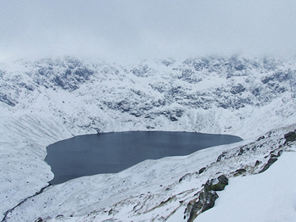
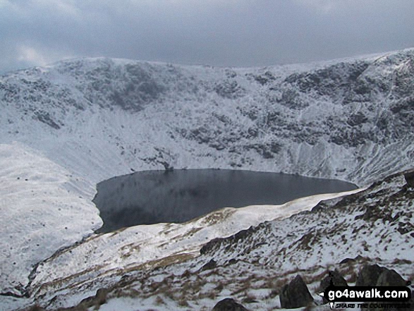
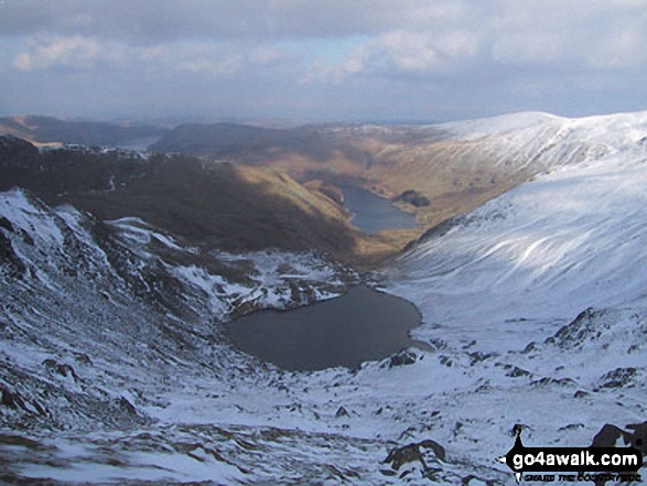
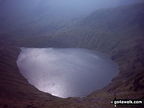
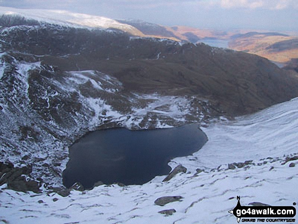
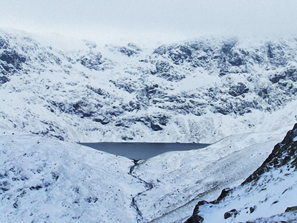
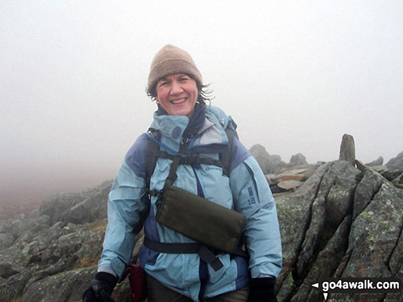
Blea Water with mist still shrouding High Street beyond from Rough Crag (Riggindale) summit in the snow
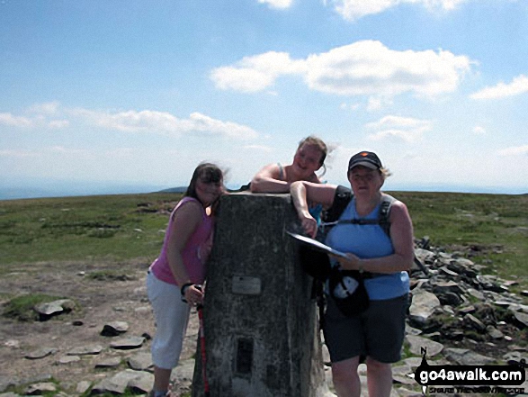
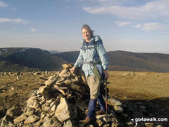
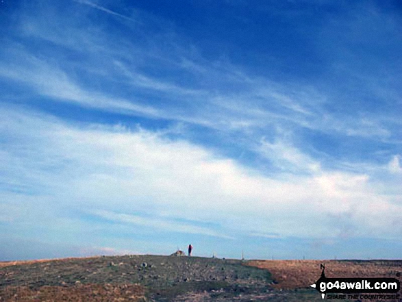
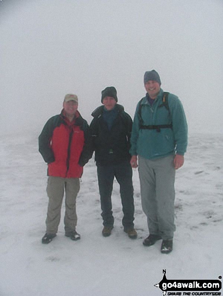
My wife Terry and two youngest daughters Emily & Elizabeth on their 1st Wainwright (High Street) taken on a Bank Holiday Sunday a couple of years ago
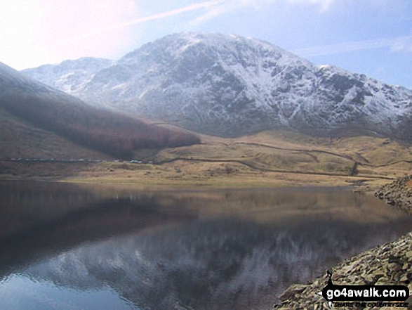
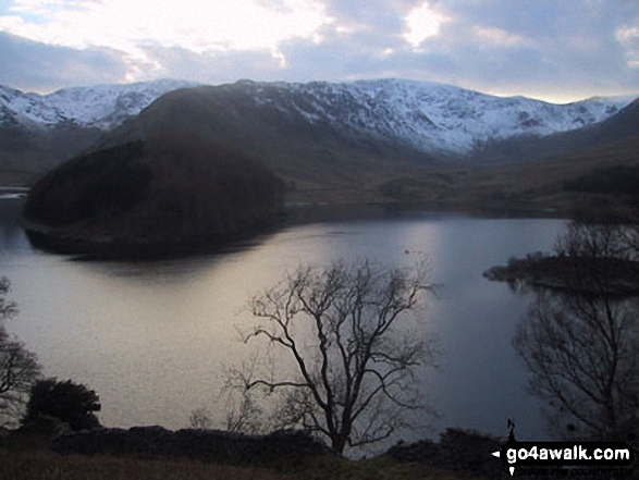
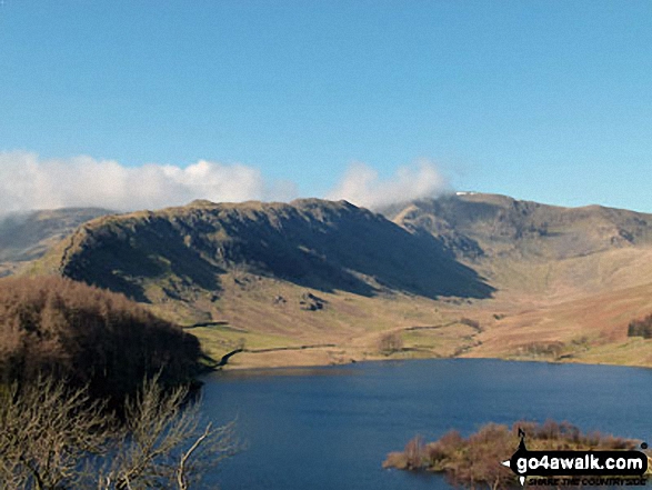
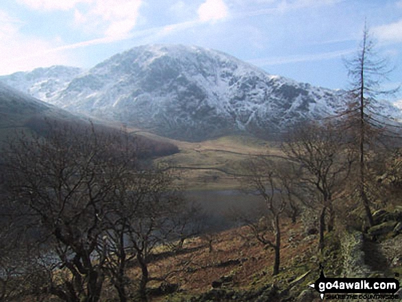
Harter Fell (left) and Mardale Ill Bell (in cloud) seen from above Haweswater Reservoir near Rowantreethwaite Beck
Yoke, Ill Bell, Froswick above Kentmere Reservoir from Harter Fell (Mardale)
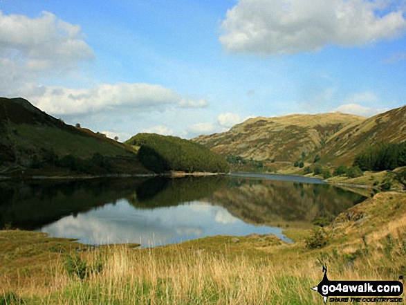
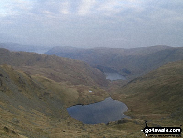
Mardale Ill Bell, High Street and Rough Crag (Riggindale) above Blea Tarn from Nan Bield Pass
Send us your photographs and pictures from your walks and hikes
We would love to see your photographs and pictures from walk c362 Branstree and High Street from Mardale Head. Send them in to us as email attachments (configured for any computer) along with your name and where the picture was taken to:
and we shall do our best to publish them.
(Guide Resolution = 300dpi. At least = 660 pixels (wide) x 440 pixels (high).)

You can also submit photos from walk c362 Branstree and High Street from Mardale Head via our Facebook Page.
NB. Please indicate where each photo was taken.
To contribute to go4awalk.com or to contact us about anything at all - see Talk To Us. For help see Help.
go4awalk.com and go4awalk.co.uk are registered trademarks of TMDH Limited.
Copyright © 2000-2025 TMDH Limited. All rights reserved.
Copyright Terms & Conditions Privacy Statement
A - Z Walks Home Log On/Accounts Photo Gallery Walk Ideas and Collections Fell Facts Hill Skills Walking Questions and Answers Your Stories News Competitions Product Reviews/Gear Tests Walking Gear Guides Peaks and Mountains Peak Bagging Find New Walking Friends Camping GPS Waypoints for Walking Contents Walk Search Talk To Us go4awalk.com Help Free Example Walks Newsletter


