   |
Vital Statistics:
| Length: | 14½mls (23km) |
| Ascent: | 3,364ft (1,025m) |
| Time: | 8½hrs |
| Grade: |  |
Route outline for walk c114:
Mardale Head (Haweswater Reservoir) - Small Water - Nan Bield Pass - Mardale Ill Bell - High Street - Straits of Riggindale - The Knott - Rampsgill Head - Kidsty Pike - High Raise (Mardale) - Raven Howe - Red Crag - Keasgill Head - Wether Hill (South Top) - Wether Hill - Bampton Common - Low Kop - Measand Beck - Haweswater Reservoir - Wainwright's Coast to Coast Walk - Bowderthwaite Bridge - The Rigg - Mardale Head
Peaks, Summits and Tops reached on this walk:
 3 English Mountains |
 7 Wainwrights |
 5 English Nuttalls |
 0 English Deweys |
 0 Wainwright Outlying Fells |
 1 Marilyn |
 1 Bridget |
Peak Bagging Statistics for this walk:
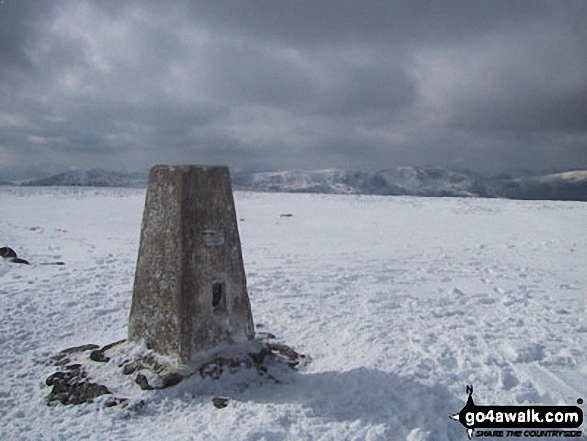
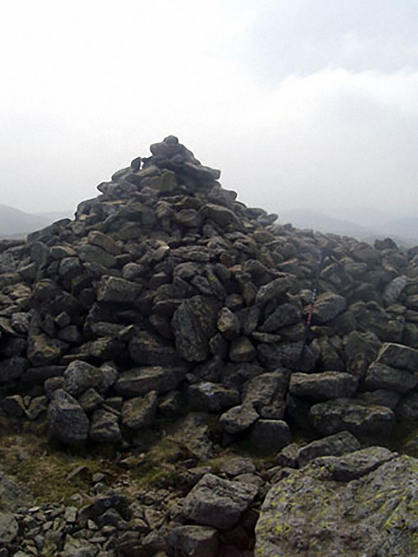
The highest point of this walk is High Street at 828m (2717ft). High Street is classified as an English Mountain (Hewitt) (32nd highest in England, 61st highest in England & Wales) and a Wainwright (No. 25).
High Street is also known as an English Nuttall (38th highest in England, 70th highest in England & Wales) and an English Marilyn (11th highest in England, 345th highest in the UK).
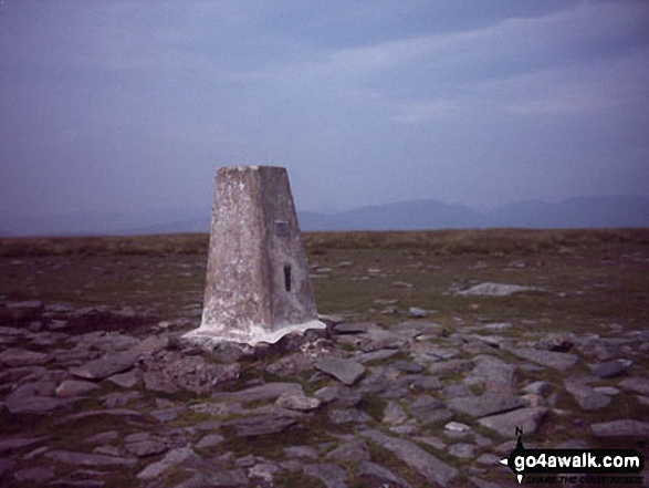
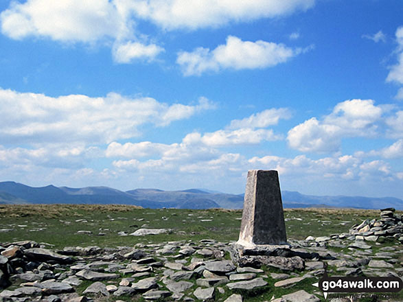
The summit of High Street is marked by an Ordnance Survey Trig Point.
Completing this walk will also take you to the top of High Raise (Mardale) at 804m (2636ft). High Raise (Mardale) is classified as an English Mountain (Hewitt) (39th highest in England, 73rd highest in England & Wales) and a Wainwright (No. 31).
High Raise (Mardale) is also known as an English Nuttall (46th highest in England, 88th highest in England & Wales).
You will also reach the summit of Rampsgill Head at 792m (2600ft). Rampsgill Head is classified as an English Mountain (Hewitt) (46th highest in England, 84th highest in England & Wales) and a Wainwright (No. 39).
Rampsgill Head is also known as an English Nuttall (55th highest in England, 103rd highest in England & Wales).
Along the way you will also bag:
- Kidsty Pike at 780m (2560ft). Kidsty Pike is classified as a Wainwright (No. 46) and an English Nuttall (64th highest in England, 115th highest in England & Wales)
- Mardale Ill Bell at 760m (2494ft). Mardale Ill Bell is classified as a Wainwright (No. 59)
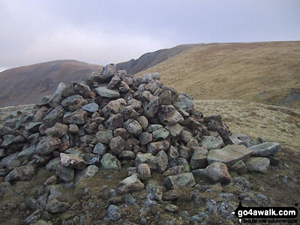
- The Knott at 739m (2425ft). The Knott is classified as a Wainwright (No. 66)
- Wether Hill (South Top) at 674m (2212ft). Wether Hill (South Top) is known as an English Nuttall (162nd highest in England, 275th highest in England & Wales).
- Wether Hill at 670m (2199ft). Wether Hill is classified as a Wainwright (No. 103)
- Low Kop at 572m (1877ft). Low Kop is known as an English Bridget.
National Trails & Long Paths included on this walk:
Part of this walk follows a section of Wainwright's Coast to Coast Walk, a 306km (190 miles) linear footpath connecting St Bees in Cumbria, England with Robin Hood's Bay in North Yorkshire, England. Wainwright's Coast to Coast Walk is waymarked by the occasional sign. For more walks that include a section of this trail see Wainwright's Coast to Coast Walk.
You can find this walk and other nearby walks on these unique free-to-access Interactive Walk Planning Maps:
1:25,000 scale OS Explorer Map (orange/yellow covers):
1:50,000 scale OS Landranger Map (pink/magenta covers):
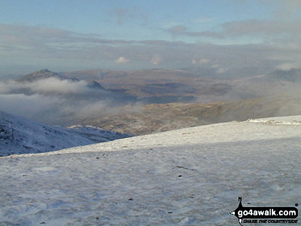
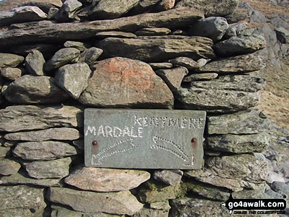
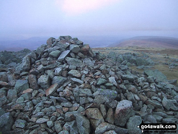
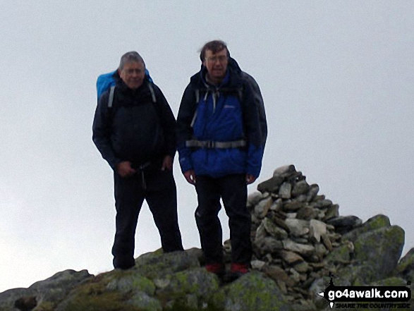
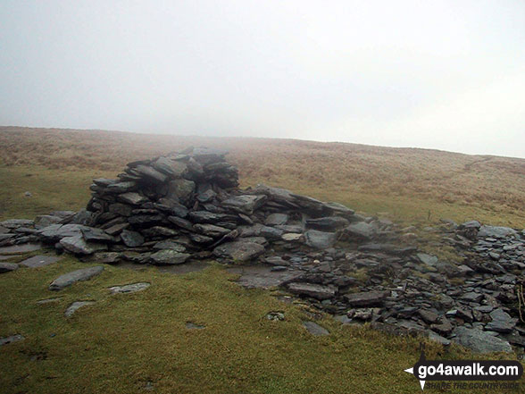
Some Photos and Pictures from Walk c114 High Street from Mardale Head
In no particular order . . .
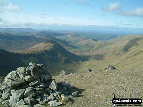
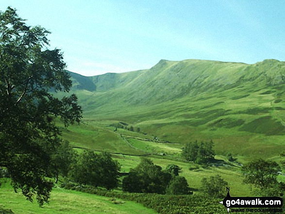
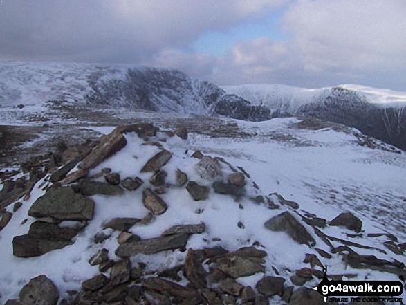
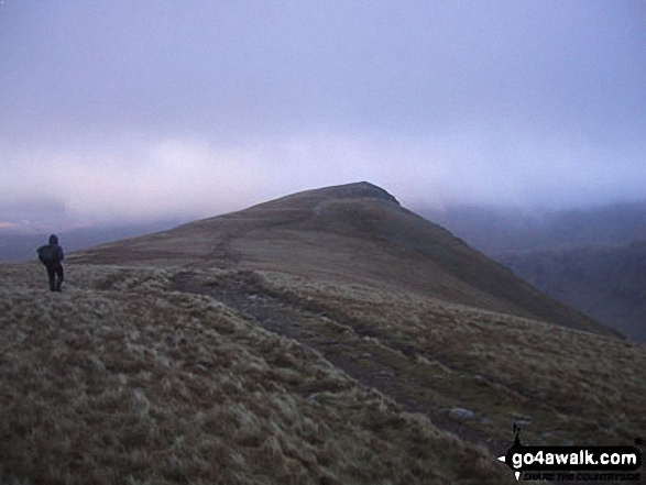
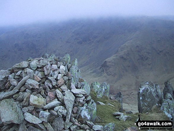
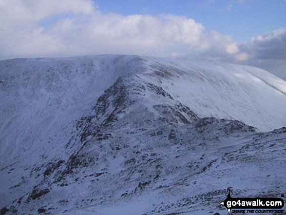
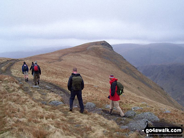
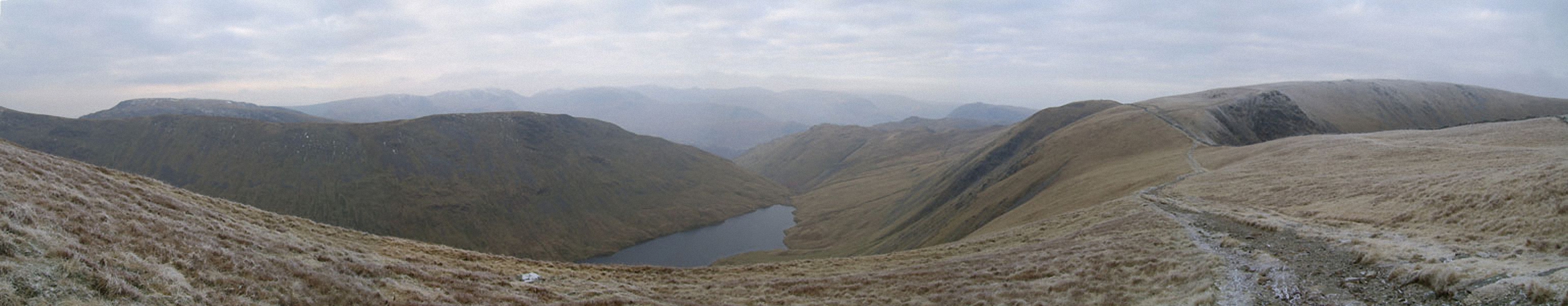
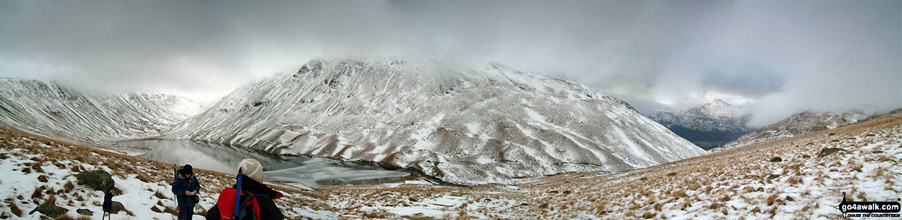
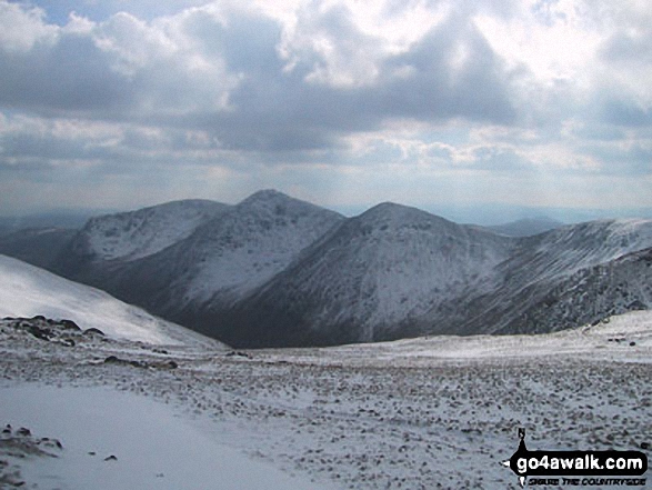
Rest Dodd (far left), The Nab (left), The Ramps Gill Valley, Wether Hill, Wether Hill (South Top) Keasgill Head, Red Crag, Raven Howe and High Raise (Mardale) (right) from Rampsgill Head
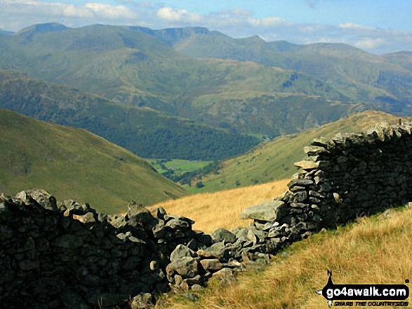
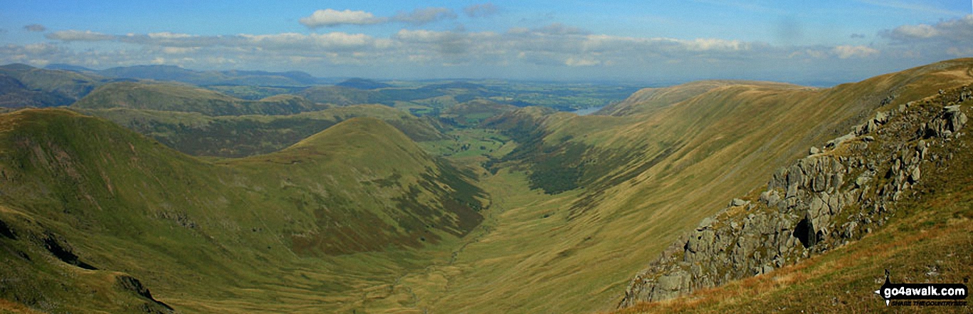
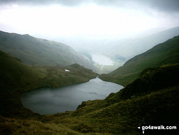
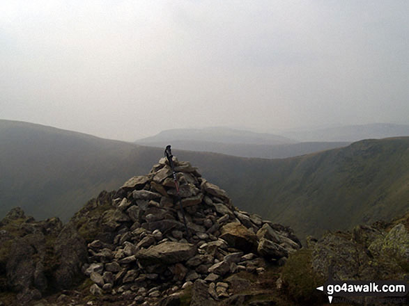
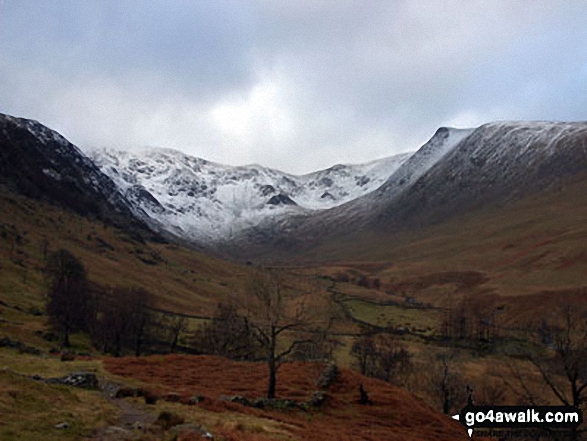
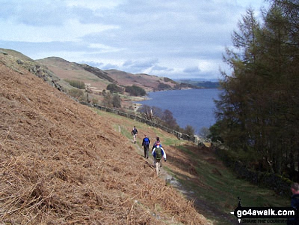
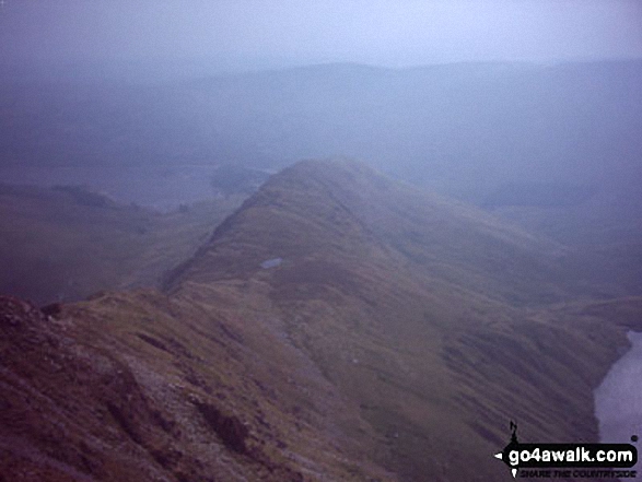
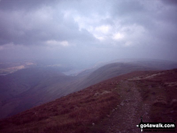
A break in the wall offers this view down towards Hartsop from the Straits of Riggindale
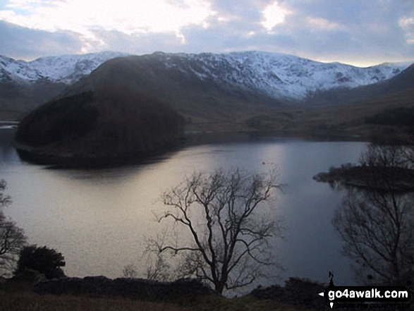
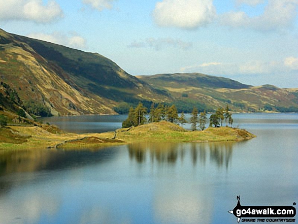
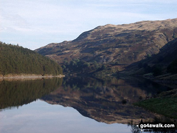
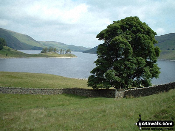
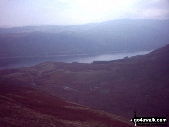
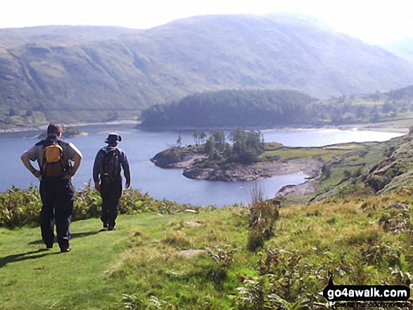
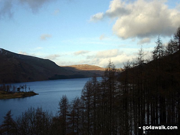
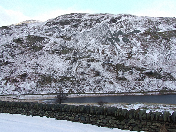
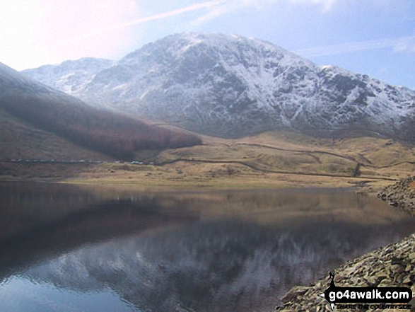
High Street, The Rigg and Rough Crag (Riggindale) across Haweswater Reservoir
High Street (behind the tree). Straits of Riggindale, Head of Riggindale Beck and Kidsty Pike from Haweswater Reservoir
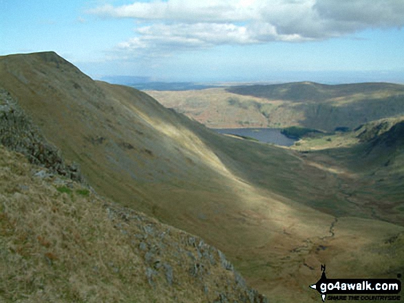
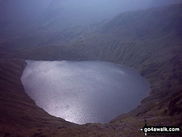
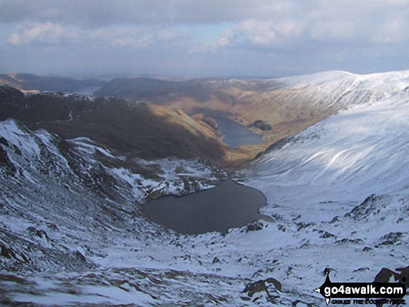
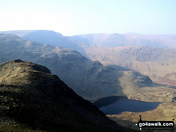
*High Street, Blea Water, Rough Crag (Riggindale), Riggindale, Kidsty Pike and Haweswater Reservoir from The Rigg

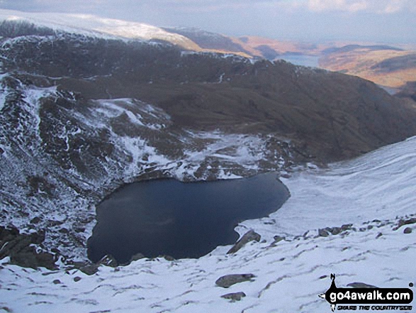
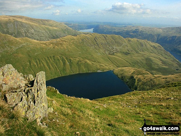
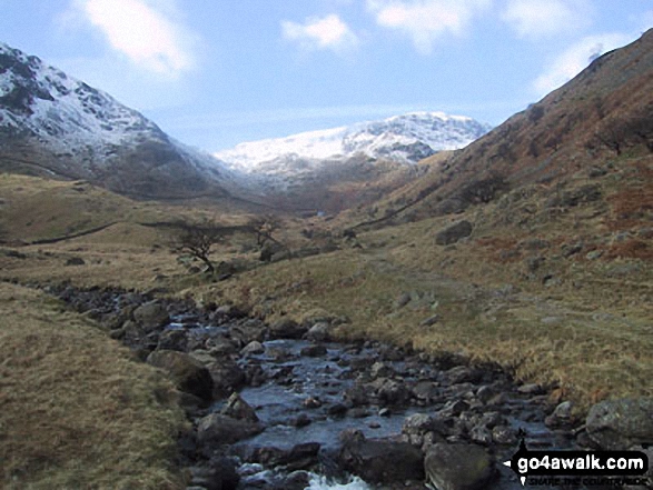
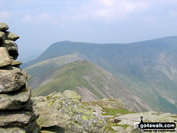
Rough Crag beyond Blea Water from above Blea Water Crag between High Street and Mardale Ill Bell
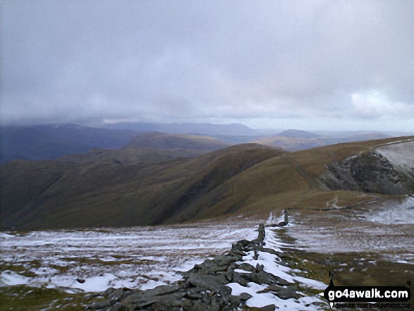
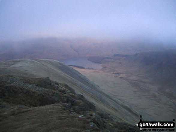
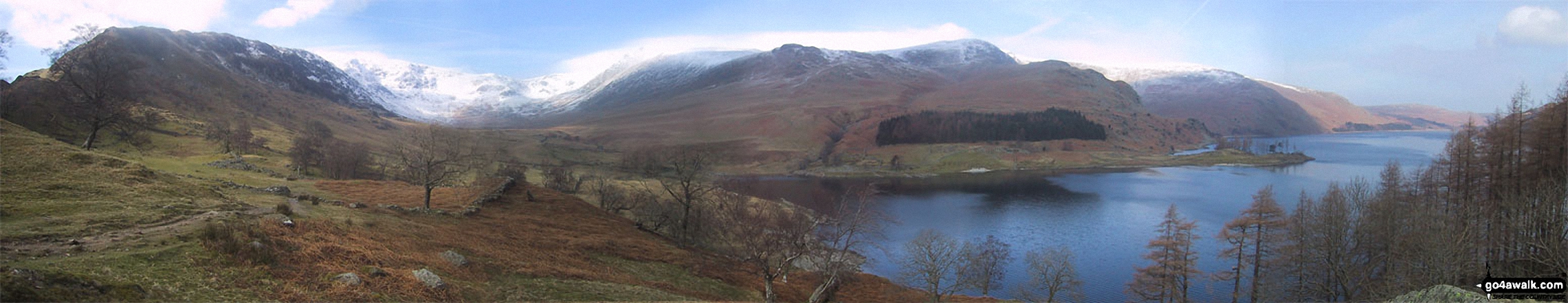
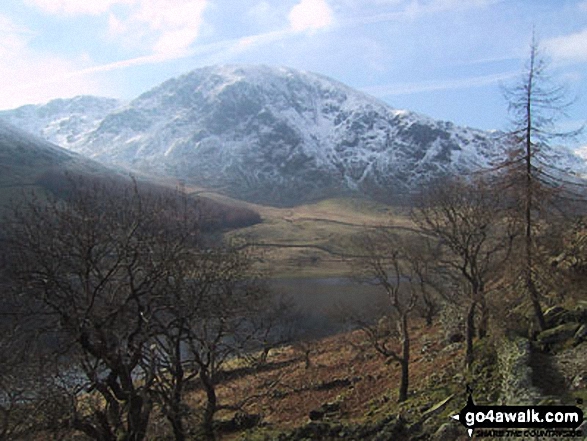
Haweswater Reservoir, The Rigg with Branstree (Artlecrag Pike) beyond from near Castle Crag
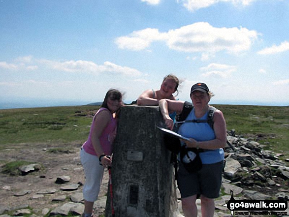
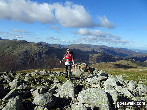
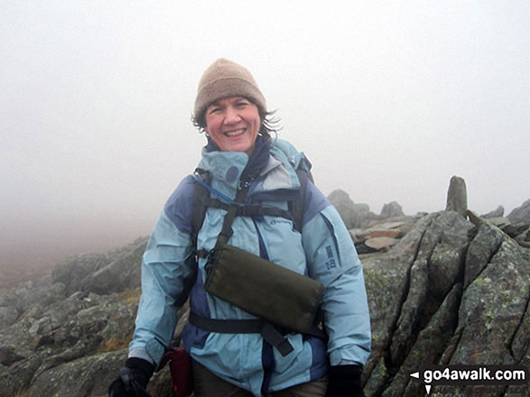
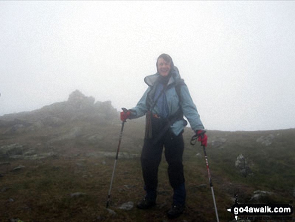
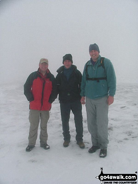
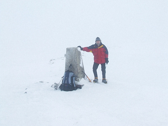
My wife Terry and two youngest daughters Emily & Elizabeth on their 1st Wainwright (High Street) taken on a Bank Holiday Sunday a couple of years ago
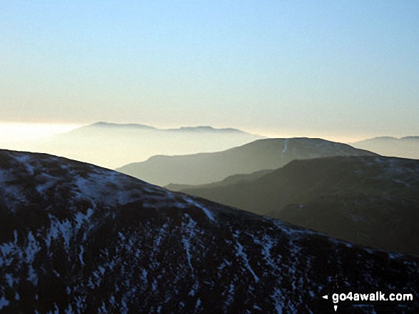
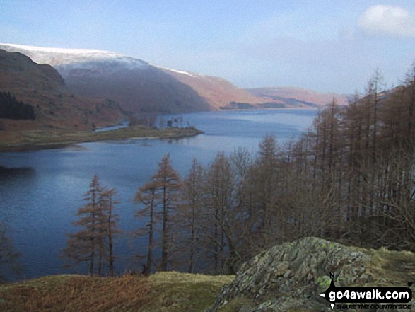
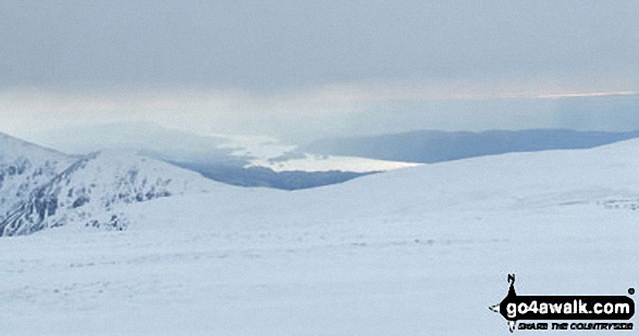
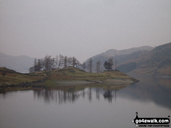
*Hayeswater with the Fairfield and Helvellyn Ridges beyond from High Street
The Rigg and Haweswater Reservoir from the lower slopes of Branstree (Artlecrag Pike)
The Rigg with Rough Crag (Riggindale) and High Street beyond from near Rowantreethwaite Beck, Haweswater Reservoir
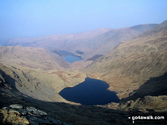
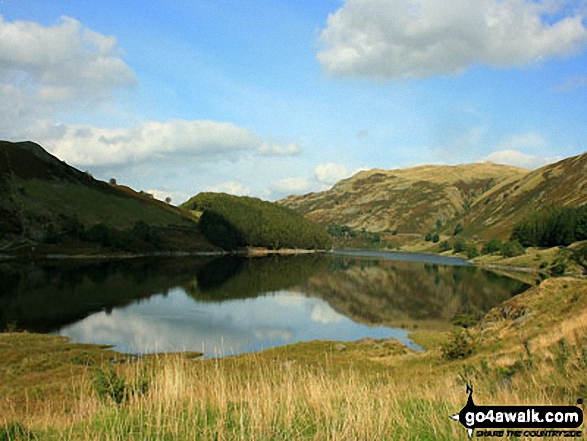
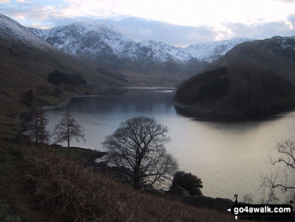
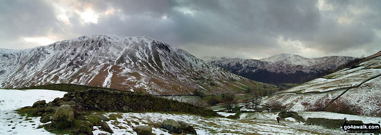
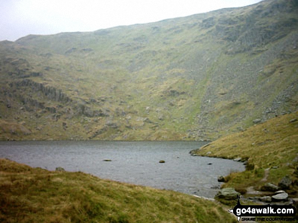
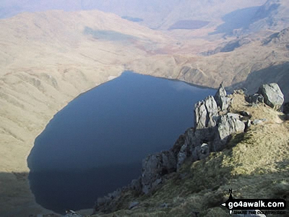
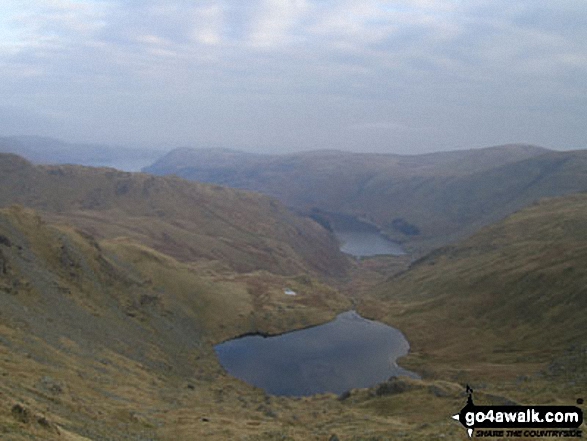
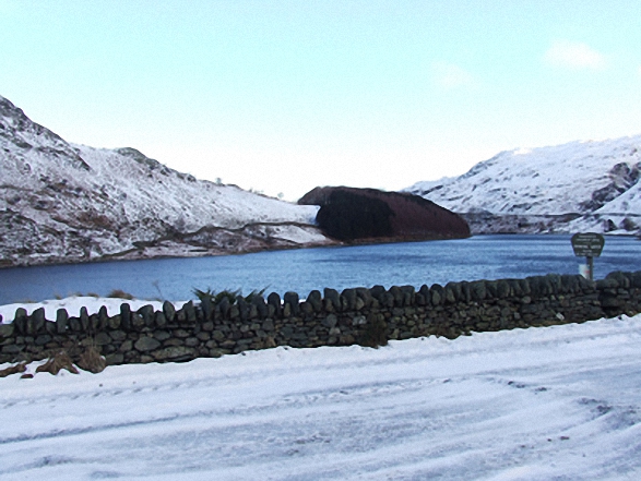
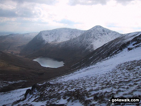
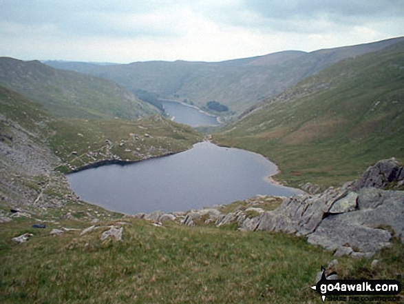
Mardale Ill Bell, High Street and Rough Crag (Riggindale) above Blea Tarn from Nan Bield Pass
Send us your photographs and pictures from your walks and hikes
We would love to see your photographs and pictures from walk c114 High Street from Mardale Head. Send them in to us as email attachments (configured for any computer) along with your name and where the picture was taken to:
and we shall do our best to publish them.
(Guide Resolution = 300dpi. At least = 660 pixels (wide) x 440 pixels (high).)

You can also submit photos from walk c114 High Street from Mardale Head via our Facebook Page.
NB. Please indicate where each photo was taken.


