The 30 nearest, easy-to-follow, circular walks, routes & maps to UK Postcode CW10

The thirty nearest, easy-to-follow, circular walks, routes & maps to UK Postcode CW10 in Walk Grade Order


Not familiar with the area around CW10?

See these 30 nearest walks to UK Postcode CW10 on a google map


Walk 1 Walking Bootprint Icon

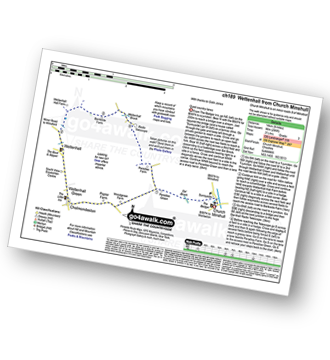
Walk ch189 Wettenhall from Church Minshull

Quiet country lanes

Download GPS Waypoint Data for walk ch189
Download GPX Waypoint Data for walk ch189
Download Map and Route Details for walk ch189

Vital Statistics:

Length:8.25 miles (13 km)
Ascent:295ft (90m)
Time:3½ hrs
Grade:Grade 3 Walking Easy
Walk 2 Walking Bootprint Icon

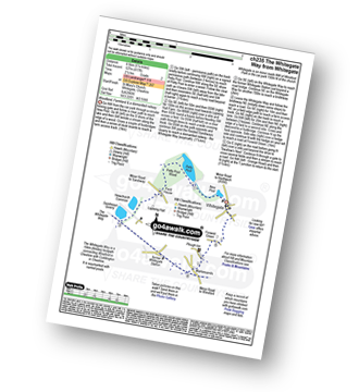
Walk ch235 Newchurch Common from Whitegate

Woodland, Farmland & a dismantled railway

Download GPS Waypoint Data for walk ch235
Download GPX Waypoint Data for walk ch235
Download Map and Route Details for walk ch235

Vital Statistics:

Length:5.25 miles (8.5 km)
Ascent:417ft (127m)
Time:2½ hrs
Grade:Grade 2 Walking Easy
Walk 3 Walking Bootprint Icon

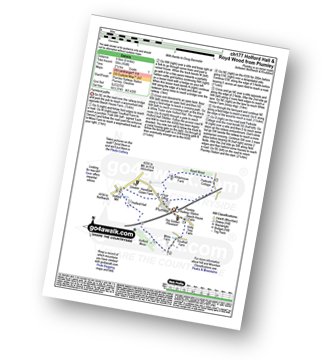
Walk ch177 Holford Hall and Royd Wood from Plumley

Farmland paths

Download GPS Waypoint Data for walk ch177
Download GPX Waypoint Data for walk ch177
Download Map and Route Details for walk ch177

Vital Statistics:

Length:6 miles (9.5 km)
Ascent:164ft (50m)
Time:2½ hrs
Grade:Grade 1 Walking Easy
Walk 4 Walking Bootprint Icon

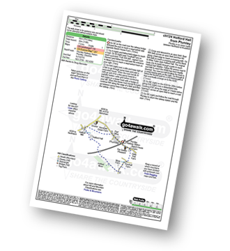
Walk ch124 Holford Hall from Plumley

Farmland paths

Download GPS Waypoint Data for walk ch124
Download GPX Waypoint Data for walk ch124
Download Map and Route Details for walk ch124

Vital Statistics:

Length:3.75 miles (6 km)
Ascent:118ft (36m)
Time:1½ hrs
Grade:Grade 1 Walking Easy
Walk 5 Walking Bootprint Icon

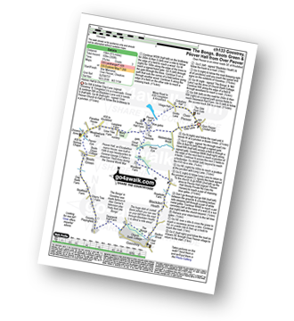
Walk ch133 Goostrey, The Bongs, Boots Green and Peover Hall from Over Peover

Historic hall and church

Download GPS Waypoint Data for walk ch133
Download GPX Waypoint Data for walk ch133
Download Map and Route Details for walk ch133

Vital Statistics:

Length:9.5 miles (15 km)
Ascent:358ft (109m)
Time:3.75hrs
Grade:Grade 3 Walking Easy
Walk 6 Walking Bootprint Icon

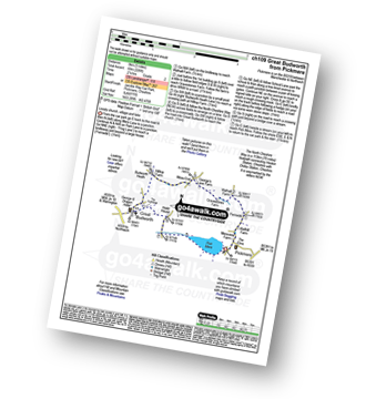
Walk ch109 Great Budworth from Pickmere

Lovely church, village and lake

Download GPS Waypoint Data for walk ch109
Download GPX Waypoint Data for walk ch109
Download Map and Route Details for walk ch109

Vital Statistics:

Length:5 miles (8 km)
Ascent:226ft (69m)
Time:2.25hrs
Grade:Grade 2 Walking Easy
Walk 7 Walking Bootprint Icon

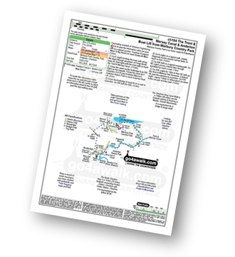
Walk ch184 The Trent and Mersey Canal and Anderton Boat Lift from Marbury Park Country Park

Fascinating Victorian engineering

Download GPS Waypoint Data for walk ch184
Download GPX Waypoint Data for walk ch184
Download Map and Route Details for walk ch184

Vital Statistics:

Length:3.75 miles (6 km)
Ascent:253ft (77m)
Time:2 hrs
Grade:Grade 1 Walking Easy
Walk 8 Walking Bootprint Icon

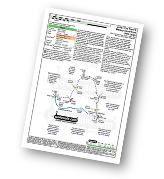
Walk ch181 The Trent and Mersey Canal from Little Leigh

Delightful canal walk & quiet countryside

Download GPS Waypoint Data for walk ch181
Download GPX Waypoint Data for walk ch181
Download Map and Route Details for walk ch181

Vital Statistics:

Length:5 miles (8 km)
Ascent:338ft (103m)
Time:2.25hrs
Grade:Grade 2 Walking Easy
Walk 9 Walking Bootprint Icon

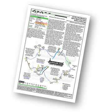
Walk ch170 Little Moreton Hall and Mow Cop from Ackers Crossing

Quiet countryside and a castle/folly

Download GPS Waypoint Data for walk ch170
Download GPX Waypoint Data for walk ch170
Download Map and Route Details for walk ch170

Vital Statistics:

Length:8.25 miles (13 km)
Ascent:804ft (245m)
Time:3.75hrs
Grade:Grade 4 Walking Moderate
Walk 10 Walking Bootprint Icon

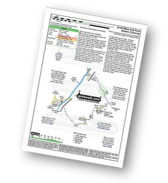
Walk ch145 Mow Cop from Ackers Crossing

Quiet countryside and a castle/folly

Download GPS Waypoint Data for walk ch145
Download GPX Waypoint Data for walk ch145
Download Map and Route Details for walk ch145

Vital Statistics:

Length:5.5 miles (9 km)
Ascent:689ft (215m)
Time:2.75hrs
Grade:Grade 3 Walking Easy
Walk 11 Walking Bootprint Icon

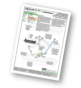
Walk ch253 Little Moreton Hall from Ackers Crossing

Quiet countryside

Download GPS Waypoint Data for walk ch253
Download GPX Waypoint Data for walk ch253
Download Map and Route Details for walk ch253

Vital Statistics:

Length:5.5 miles (9 km)
Ascent:115ft (35m)
Time:2.25hrs
Grade:Grade 1 Walking Easy
Walk 12 Walking Bootprint Icon

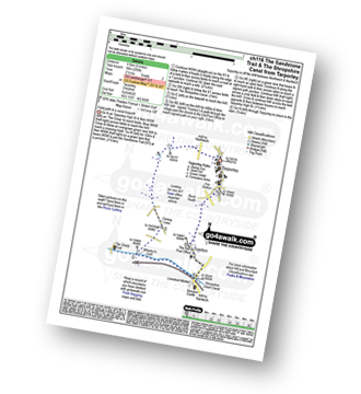
Walk ch116 The Sandstone Trail and The Shropshire Union Canal from Tarpoley

Field path & a canal towpath

Download GPS Waypoint Data for walk ch116
Download GPX Waypoint Data for walk ch116
Download Map and Route Details for walk ch116

Vital Statistics:

Length:6 miles (9.5 km)
Ascent:295ft (90m)
Time:2½ hrs
Grade:Grade 2 Walking Easy
Walk 13 Walking Bootprint Icon

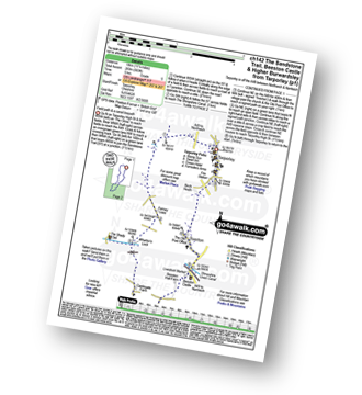
Walk ch142 The Sandstone Trail, Beeston Castle and Higher Burwardsley from Tarporley

Field paths and woodland

Download GPS Waypoint Data for walk ch142
Download GPX Waypoint Data for walk ch142
Download Map and Route Details for walk ch142

Vital Statistics:

Length:11.25 miles (18 km)
Ascent:883ft (269m)
Time:5 hrs
Grade:Grade 5 Walking Moderate
Walk 14 Walking Bootprint Icon

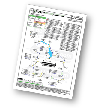
Walk ch141 Siddington Heath from Redes Mere

A pleasant stroll through rural farmland

Download GPS Waypoint Data for walk ch141
Download GPX Waypoint Data for walk ch141
Download Map and Route Details for walk ch141

Vital Statistics:

Length:7.5 miles (12 km)
Ascent:197ft (60m)
Time:3 hrs
Grade:Grade 2 Walking Easy
Walk 15 Walking Bootprint Icon

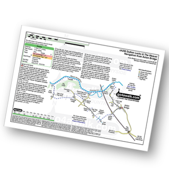
Walk ch250 Weaver Navigation from Acton Bridge

Canals & farmland

Download GPS Waypoint Data for walk ch250
Download GPX Waypoint Data for walk ch250
Download Map and Route Details for walk ch250

Vital Statistics:

Length:7.25 miles (11.5 km)
Ascent:384ft (117m)
Time:3 hrs
Grade:Grade 3 Walking Easy

Not familiar with the area around CW10?

See these 30 nearest walks to UK Postcode CW10 on a google map


Walk 16 Walking Bootprint Icon

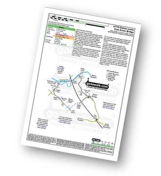
Walk ch118 Dutton Locks from Acton Bridge

Canal towpaths & farmland

Download GPS Waypoint Data for walk ch118
Download GPX Waypoint Data for walk ch118
Download Map and Route Details for walk ch118

Vital Statistics:

Length:4 miles (6.5 km)
Ascent:233ft (71m)
Time:1.75hrs
Grade:Grade 1 Walking Easy
Walk 17 Walking Bootprint Icon

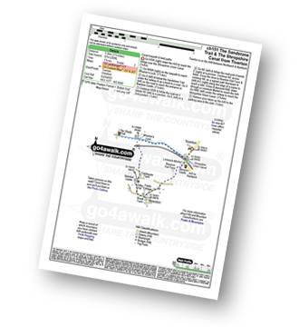
Walk ch151 The Sandstone Trail and The Shropshire Union Canal from Tiverton

Canal towpath and field paths

Download GPS Waypoint Data for walk ch151
Download GPX Waypoint Data for walk ch151
Download Map and Route Details for walk ch151

Vital Statistics:

Length:3.5 miles (5.5 km)
Ascent:286ft (87m)
Time:1.75hrs
Grade:Grade 2 Walking Easy
Walk 18 Walking Bootprint Icon

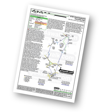
Walk ch161 Great Budworth from Arley Hall

Historical village & church

Download GPS Waypoint Data for walk ch161
Download GPX Waypoint Data for walk ch161
Download Map and Route Details for walk ch161

Vital Statistics:

Length:5.5 miles (8.5 km)
Ascent:158ft (48m)
Time:2.25hrs
Grade:Grade 1 Walking Easy
Walk 19 Walking Bootprint Icon

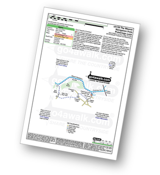
Walk ch139 The Weaver Navigation from Pickerings Lock

Canal towpaths & farmland

Download GPS Waypoint Data for walk ch139
Download GPX Waypoint Data for walk ch139
Download Map and Route Details for walk ch139

Vital Statistics:

Length:3.75 miles (6 km)
Ascent:197ft (60m)
Time:1.75hrs
Grade:Grade 1 Walking Easy
Walk 20 Walking Bootprint Icon

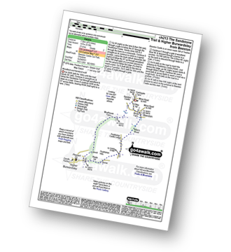
Walk ch213 The Sandstone Trail and Higher Burwardsley from Beeston

Woodland and farmland walk

Download GPS Waypoint Data for walk ch213
Download GPX Waypoint Data for walk ch213
Download Map and Route Details for walk ch213

Vital Statistics:

Length:4.75 miles (7.5 km)
Ascent:515ft (157m)
Time:2.25hrs
Grade:Grade 2 Walking Easy
Walk 21 Walking Bootprint Icon

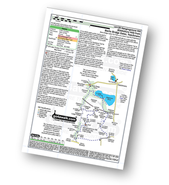
Walk ch129 Hangingstone Hill (Eddisbury Hill) from Barns Bridge Gates, Hatchmere

Superb views from Hangingstone Hill (Eddisbury Hill)

Download GPS Waypoint Data for walk ch129
Download GPX Waypoint Data for walk ch129
Download Map and Route Details for walk ch129

Vital Statistics:

Length:6 miles (9.5 km)
Ascent:479ft (146m)
Time:2.75hrs
Grade:Grade 3 Walking Easy
Walk 22 Walking Bootprint Icon

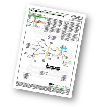
Walk ch121 Rostherne from Hoo Green

Quiet country lanes

Download GPS Waypoint Data for walk ch121
Download GPX Waypoint Data for walk ch121
Download Map and Route Details for walk ch121

Vital Statistics:

Length:6.75 miles (11 km)
Ascent:370ft (110m)
Time:3 hrs
Grade:Grade 2 Walking Easy
Walk 23 Walking Bootprint Icon

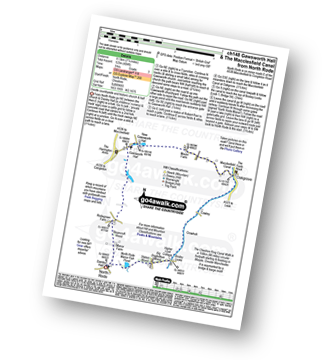
Walk ch148 Gawsworth Hall from North Rode

Gentle countryside and historic church & hall

Download GPS Waypoint Data for walk ch148
Download GPX Waypoint Data for walk ch148
Download Map and Route Details for walk ch148

Vital Statistics:

Length:7.25 miles (11.5 km)
Ascent:404ft (123m)
Time:3 hrs
Grade:Grade 3 Walking Easy
Walk 24 Walking Bootprint Icon

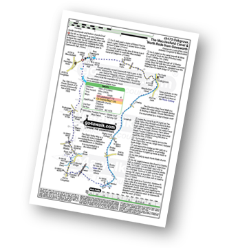
Walk ch175 The Macclesfield Canal, Bosley Locks and North Rode from Gawsworth

Gentle countryside stroll and historic church and hall

Download GPS Waypoint Data for walk ch175
Download GPX Waypoint Data for walk ch175
Download Map and Route Details for walk ch175

Vital Statistics:

Length:9.25 miles (15 km)
Ascent:545ft (166m)
Time:4 hrs
Grade:Grade 4 Walking Moderate
Walk 25 Walking Bootprint Icon

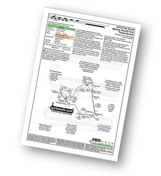
Walk ch135 The Cloud (Bosley Cloud) from Timbersbrook

Stunning views after a gentle climb

Download GPS Waypoint Data for walk ch135
Download GPX Waypoint Data for walk ch135
Download Map and Route Details for walk ch135

Vital Statistics:

Length:4 miles (6.5 km)
Ascent:791ft (241m)
Time:2.25hrs
Grade:Grade 3 Walking Easy
Walk 26 Walking Bootprint Icon

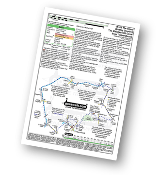
Walk ch108 The Cloud (Bosley Cloud) and The Macclesfield Canal from Timbersbrook

Huge views followed by a canal towpath

Download GPS Waypoint Data for walk ch108
Download GPX Waypoint Data for walk ch108
Download Map and Route Details for walk ch108

Vital Statistics:

Length:9 miles (14.5 km)
Ascent:1,208ft (368m)
Time:4½ hrs
Grade:Grade 5 Walking Moderate
Walk 27 Walking Bootprint Icon

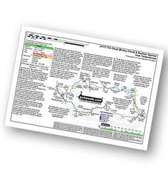
Walk ch172 The Cloud (Bosley Cloud) and Rushtone Spencer from Timbersbrook

Stunning views

Download GPS Waypoint Data for walk ch172
Download GPX Waypoint Data for walk ch172
Download Map and Route Details for walk ch172

Vital Statistics:

Length:7.5 miles (12 km)
Ascent:1,359ft (414m)
Time:4.25hrs
Grade:Grade 5 Walking Moderate
Walk 28 Walking Bootprint Icon

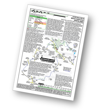
Walk ch103 Hare Hill and Monk's Heath from Alderley Edge

Pleasant Country Walk

Download GPS Waypoint Data for walk ch103
Download GPX Waypoint Data for walk ch103
Download Map and Route Details for walk ch103

Vital Statistics:

Length:8.75 miles (14 km)
Ascent:1,050ft (320m)
Time:4.25hrs
Grade:Grade 5 Walking Moderate
Walk 29 Walking Bootprint Icon

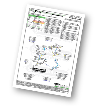
Walk ch115 North Rode from Bosley Locks

Lovely stroll down a 12 Canal Lock Staircase

Download GPS Waypoint Data for walk ch115
Download GPX Waypoint Data for walk ch115
Download Map and Route Details for walk ch115

Vital Statistics:

Length:4.5 miles (7 km)
Ascent:341ft (104m)
Time:2 hrs
Grade:Grade 2 Walking Easy
Walk 30 Walking Bootprint Icon

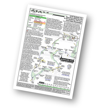
Walk ch107 Bulkeley Hill, Raw Head, Bickerton Hill and The Sandstone Trail from Upper Bewardsley

Superb views of the Cheshire Plain

Download GPS Waypoint Data for walk ch107
Download GPX Waypoint Data for walk ch107
Download Map and Route Details for walk ch107

Vital Statistics:

Length:9.5 miles (15 km)
Ascent:1,831ft (558m)
Time:5.25hrs
Grade:Grade 6 Walking Moderate

Not familiar with the area around CW10?

See these 30 nearest walks to UK Postcode CW10 on a google map


Follow go4awalk.com on Twitter Follow go4awalk.com on Facebook


Do not miss our pick of the Best Walks in the UK