Walk ch235 Newchurch Common from Whitegate
This 5¼ mile, Grade 2 (Easy), easy-to-follow, hand-crafted walk, complete with GPS Waypoints, starts at Whitegate & will take about 2½ hrs to complete.
   |
Vital Statistics:
| Length: | 5¼mls (8.5km) |
| Ascent: | 417ft (127m) |
| Time: | 2½hrs |
| Grade: |  |
Route outline for walk ch235:
Whitegate - New Pool - Petty Pool - Pettypool Wood - Newchurch Common - Whitegate Way (Dismantled Railway) - Whitegate Station - Martonsands - Foxwist Green - Whitegate
Peaks, Summits and Tops reached on this walk:
 0 English Mountains |
 0 Wainwrights |
 0 English Nuttalls |
 0 English Deweys |
 0 Wainwright Outlying Fells |
 0 Marilyns |
 0 Bridgets |
National Trails & Long Paths included on this walk:
Part of this walk follows a section of The Whitegate Way, a 10km (6 miles) linear footpath connecting Winsford in Cheshire, England with Cuddington in Cheshire, England. The Whitegate Way is waymarked by named posts. For more walks that include a section of this trail see The Whitegate Way.
You can find this walk and other nearby walks on these unique Interactive Walk Planning Maps:
(worth a look if you're new to go4awalk.com & have never seen one of these before.)
1:25,000 scale OS Explorer Map (orange/yellow covers):
1:50,000 scale OS Landranger Map (pink/magenta covers):
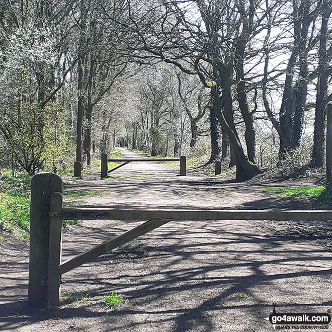
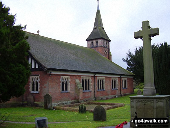
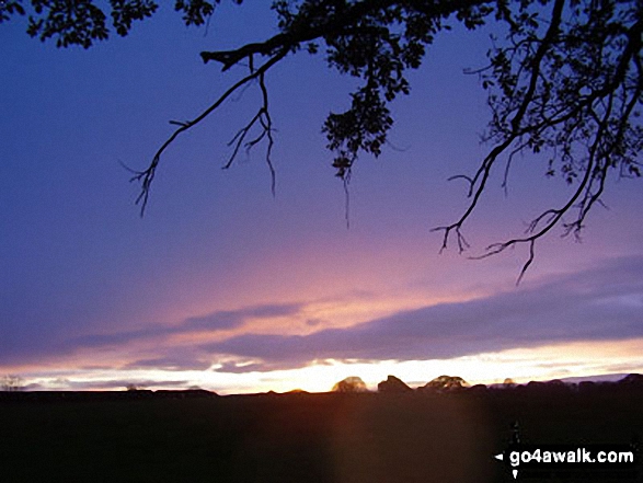
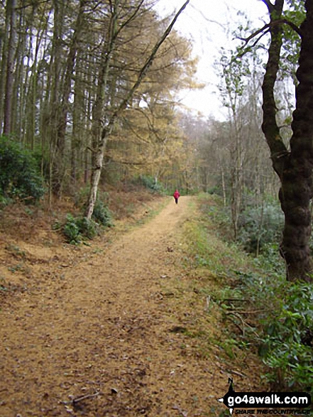
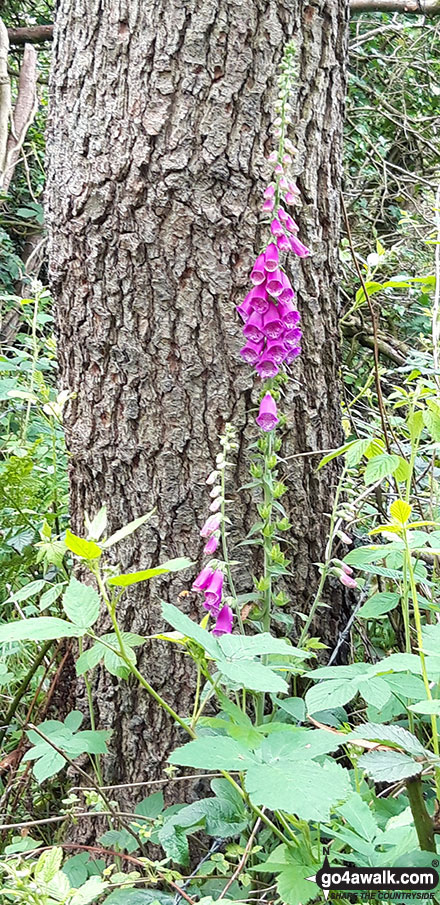
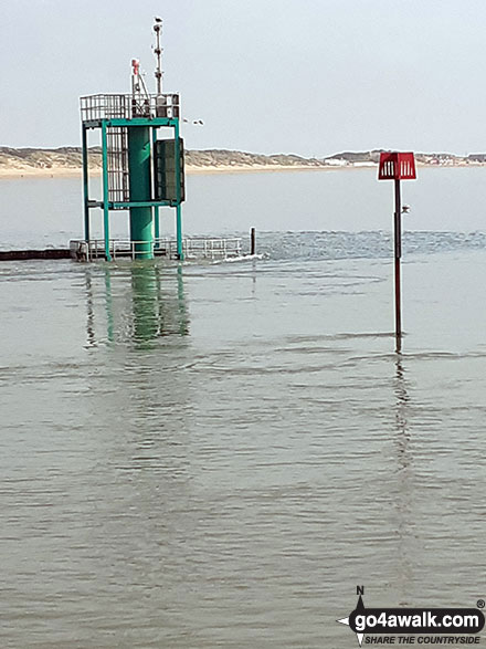
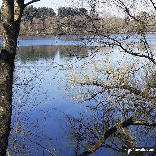
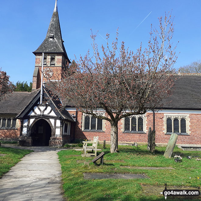
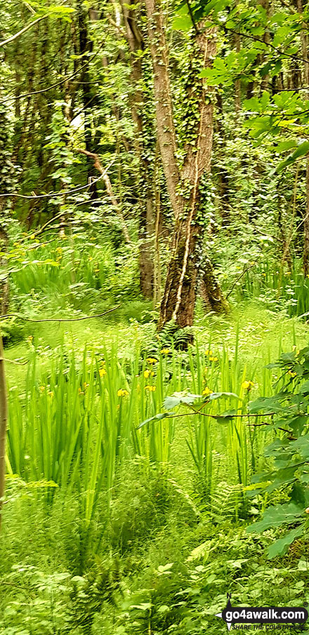
Some Photos and Pictures from Walk ch235 Newchurch Common from Whitegate
In no particular order . . .

. . . load all 19 walk photos from Walk ch235 Newchurch Common from Whitegate
Send us your photographs and pictures from your walks and hikes
We would love to see your photographs and pictures from walk ch235 Newchurch Common from Whitegate. Send them in to us as email attachments (configured for any computer) along with your name and where the picture was taken to:
and we shall do our best to publish them.
(Guide Resolution = 300dpi. At least = 660 pixels (wide) x 440 pixels (high).)

You can also submit photos from walk ch235 Newchurch Common from Whitegate via our Facebook Page.
NB. Please indicate where each photo was taken.

To contribute to go4awalk.com or to contact us about anything at all - see Talk To Us.
For help see Help.
go4awalk.com and go4awalk.co.uk are registered trademarks of TMDH Limited.
Copyright © 2000-2026 TMDH Limited. All rights reserved.
Copyright Terms & Conditions Privacy Statement
A - Z Walks Home Log On/Accounts Photo Gallery Walk Ideas and Collections Fell Facts Hill Skills Walking Questions and Answers Your Stories News Competitions Product Reviews/Gear Tests Walking Gear Guides Peaks and Mountains Peak Bagging Find New Walking Friends Camping GPS Waypoints for Walking Contents Walk Search Talk To Us go4awalk.com Help Free Example Walks Newsletter


