The 30 nearest, easy-to-follow, circular walks, routes & maps to UK Postcode CH61

The thirty nearest, easy-to-follow, circular walks, routes & maps to UK Postcode CH61 in Walk Grade Order


Not familiar with the area around CH61?

See these 30 nearest walks to UK Postcode CH61 on a google map


Walk 1 Walking Bootprint Icon

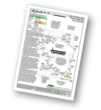
Walk dn131 The Offa's Dyke Path from Glan Llyn

Fine views from the Offa's Dyke Path

Download GPS Waypoint Data for walk dn131
Download GPX Waypoint Data for walk dn131
Download Map and Route Details for walk dn131

Vital Statistics:

Length:7 miles (11 km)
Ascent:847ft (258m)
Time:3½ hrs
Grade:Grade 4 Walking Moderate
Walk 2 Walking Bootprint Icon

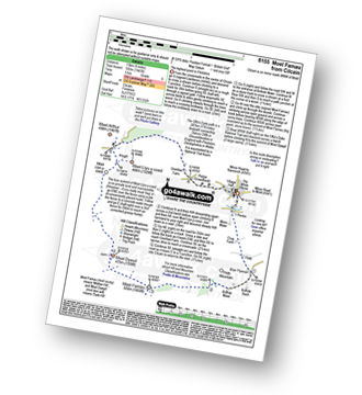
Walk fl155 Moel Famau and Cilcain

The highest point in Flintshire

Download GPS Waypoint Data for walk fl155
Download GPX Waypoint Data for walk fl155
Download Map and Route Details for walk fl155

Vital Statistics:

Length:8.25 miles (13 km)
Ascent:1,943ft (592m)
Time:5 hrs
Grade:Grade 6 Walking Moderate
Walk 3 Walking Bootprint Icon

Walk dn117 Ffrith Beach, Dyserth and The Offa's Dyke Path from Prestatyn

Superb views from the Offa's Dyke

Download GPS Waypoint Data for walk dn117
Download GPX Waypoint Data for walk dn117
Download Map and Route Details for walk dn117

Vital Statistics:

Length:10.75 miles (17 km)
Ascent:916ft (279m)
Time:4.75hrs
Grade:Grade 5 Walking Moderate
Walk 4 Walking Bootprint Icon

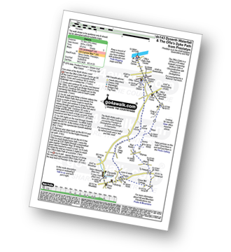
Walk dn143 Dyserth and The Offa's Dyke Path from Prestatyn

Superb views from the Offa's Dyke

Download GPS Waypoint Data for walk dn143
Download GPX Waypoint Data for walk dn143
Download Map and Route Details for walk dn143

Vital Statistics:

Length:9.75 miles (15.5 km)
Ascent:1,303ft (397m)
Time:4.75hrs
Grade:Grade 5 Walking Moderate
Walk 5 Walking Bootprint Icon

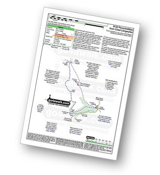
Walk fl122 Penycloddiau from Coed Llangwyfan

Ancient fort with expansive views

Download GPS Waypoint Data for walk fl122
Download GPX Waypoint Data for walk fl122
Download Map and Route Details for walk fl122

Vital Statistics:

Length:5 miles (8 km)
Ascent:994ft (303m)
Time:3 hrs
Grade:Grade 3 Walking Easy
Walk 6 Walking Bootprint Icon

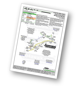
Walk dn119 The Offa's Dyke Path and Coed Jenny Morgan from Rhuallt

Fine views from the Offa's Dyke Path

Download GPS Waypoint Data for walk dn119
Download GPX Waypoint Data for walk dn119
Download Map and Route Details for walk dn119

Vital Statistics:

Length:4 miles (6.5 km)
Ascent:715ft (218m)
Time:2.25hrs
Grade:Grade 3 Walking Easy
Walk 7 Walking Bootprint Icon

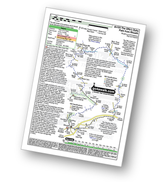
Walk dn105 The Offa's Dyke Path from Rhuallt

Fine views from the Offa's Dyke Path

Download GPS Waypoint Data for walk dn105
Download GPX Waypoint Data for walk dn105
Download Map and Route Details for walk dn105

Vital Statistics:

Length:9.5 miles (15 km)
Ascent:1,359ft (141m)
Time:4.75hrs
Grade:Grade 5 Walking Moderate
Walk 8 Walking Bootprint Icon

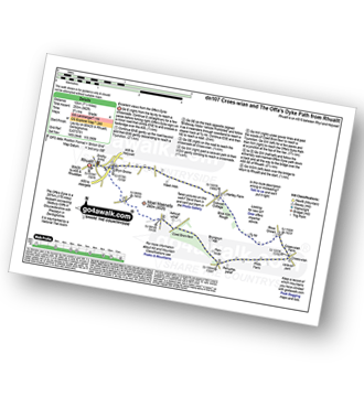
Walk dn107 Croes-wian and The Offa's Dyke Path from Rhuallt

Fine views from the Offa's Dyke Path

Download GPS Waypoint Data for walk dn107
Download GPX Waypoint Data for walk dn107
Download Map and Route Details for walk dn107

Vital Statistics:

Length:7.5 miles (12 km)
Ascent:962ft (293m)
Time:3.75hrs
Grade:Grade 4 Walking Moderate
Walk 9 Walking Bootprint Icon

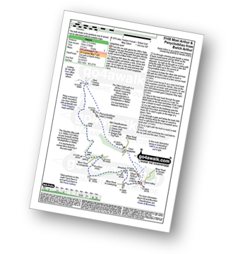
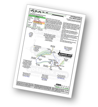
Walk fl108 Moel Arthur and Penycloddiau from Bwlch Arthur

Delightfully quiet - with expansive views

Download GPS Waypoint Data for walk fl108
Download GPX Waypoint Data for walk fl108
Download Map and Route Details for walk fl108

Vital Statistics:

Length:7.5 miles (12 km)
Ascent:1,746ft (532m)
Time:4½ hrs
Grade:Grade 5 Walking Moderate
Walk 10 Walking Bootprint Icon

Walk fl119 Moel Arthur from Bwlch Arthur

Short steep climb to fantastic views

Download GPS Waypoint Data for walk fl119
Download GPX Waypoint Data for walk fl119
Download Map and Route Details for walk fl119

Vital Statistics:

Length:4 miles (6.5 km)
Ascent:1,086ft (331m)
Time:2½ hrs
Grade:Grade 3 Walking Easy
Walk 11 Walking Bootprint Icon

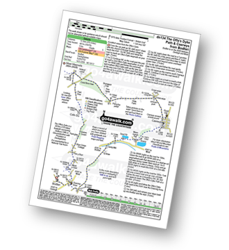
Walk dn134 The Offa's Dyke Path and Rhuallt from Bodfari

Excellent views from the Offa's Dyke Path

Download GPS Waypoint Data for walk dn134
Download GPX Waypoint Data for walk dn134
Download Map and Route Details for walk dn134

Vital Statistics:

Length:9.75 miles (15.5 km)
Ascent:1,447ft (441m)
Time:5 hrs
Grade:Grade 5 Walking Moderate
Walk 12 Walking Bootprint Icon

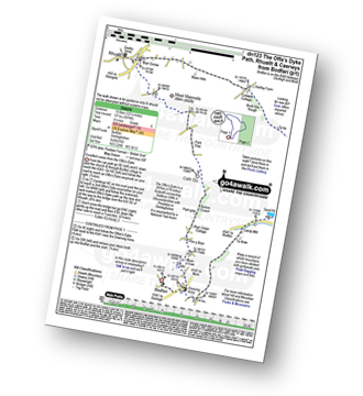
Walk dn123 The Offa's Dyke Path, Rhuallt and Caerwys from Bodfari

Fine views from the Offa's Dyke Path

Download GPS Waypoint Data for walk dn123
Download GPX Waypoint Data for walk dn123
Download Map and Route Details for walk dn123

Vital Statistics:

Length:12.25 miles (19.5 km)
Ascent:1,874ft (571m)
Time:6.25hrs
Grade:Grade 6 Walking Moderate
Walk 13 Walking Bootprint Icon

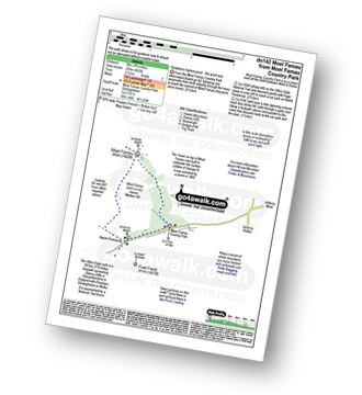
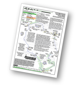
Walk dn142 Moel Famau from Moel Famau Country Park

Flintshire's highest point - the quick way

Download GPS Waypoint Data for walk dn142
Download GPX Waypoint Data for walk dn142
Download Map and Route Details for walk dn142

Vital Statistics:

Length:3.75 miles (6 km)
Ascent:961ft (293m)
Time:2½ hrs
Grade:Grade 3 Walking Easy
Walk 14 Walking Bootprint Icon

Walk dn112 Moel Famau and Moel Dywyll from Moel Famau Country Park

Download GPS Waypoint Data for walk dn112
Download GPX Waypoint Data for walk dn112
Download Map and Route Details for walk dn112

Vital Statistics:

Length:11 miles (17.5 km)
Ascent:2,389ft (728m)
Time:6½ hrs
Grade:Grade 6 Walking Moderate
Walk 15 Walking Bootprint Icon

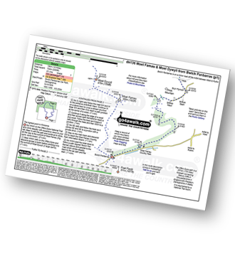
Walk dn136 Moel Famau and Cilcain from Bwlch Panbarras

The highest point in Flintshire

Download GPS Waypoint Data for walk dn136
Download GPX Waypoint Data for walk dn136
Download Map and Route Details for walk dn136

Vital Statistics:

Length:12 miles (19 km)
Ascent:2,409ft (734m)
Time:6.75hrs
Grade:Grade 7 Walking Hard

Not familiar with the area around CH61?

See these 30 nearest walks to UK Postcode CH61 on a google map


Walk 16 Walking Bootprint Icon

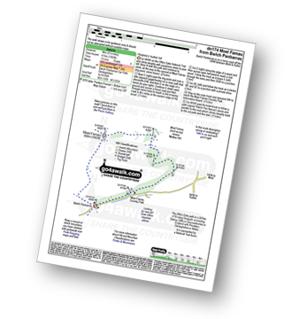
Walk dn174 Moel Famau from Bwlch Penbarras

Flintshire's 'mother' hill

Download GPS Waypoint Data for walk dn174
Download GPX Waypoint Data for walk dn174
Download Map and Route Details for walk dn174

Vital Statistics:

Length:5.5 miles (9 km)
Ascent:1,362ft (415m)
Time:3½ hrs
Grade:Grade 4 Walking Moderate
Walk 17 Walking Bootprint Icon

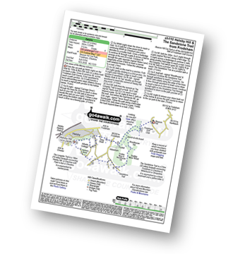
Walk ch110 Helsby Hill and The Sandstone Trail from Frodsham

Fine views of the mersey estuary

Download GPS Waypoint Data for walk ch110
Download GPX Waypoint Data for walk ch110
Download Map and Route Details for walk ch110

Vital Statistics:

Length:6.25 miles (10 km)
Ascent:1,254ft (382m)
Time:3½ hrs
Grade:Grade 4 Walking Moderate
Walk 18 Walking Bootprint Icon

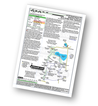
Walk ch129 Hangingstone Hill (Eddisbury Hill) from Barns Bridge Gates, Hatchmere

Superb views from Hangingstone Hill (Eddisbury Hill)

Download GPS Waypoint Data for walk ch129
Download GPX Waypoint Data for walk ch129
Download Map and Route Details for walk ch129

Vital Statistics:

Length:6 miles (9.5 km)
Ascent:479ft (146m)
Time:2.75hrs
Grade:Grade 3 Walking Easy
Walk 19 Walking Bootprint Icon

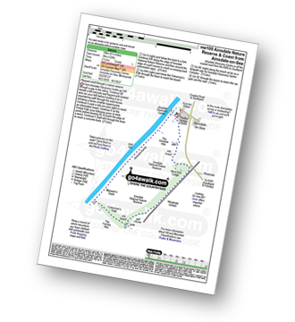
Walk me109 Ainsdale Nature Reserve and Coast from Ainsdale-on-Sea

Pleasant stroll through a nature reserve

Download GPS Waypoint Data for walk me109
Download GPX Waypoint Data for walk me109
Download Map and Route Details for walk me109

Vital Statistics:

Length:6.25 miles (10 km)
Ascent:128ft (39m)
Time:2½ hrs
Grade:Grade 1 Walking Easy
Walk 20 Walking Bootprint Icon

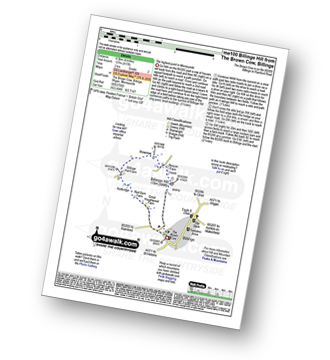
Walk me100 Billinge Hill from Billinge, Wigan

The highest point in Merseyside

Download GPS Waypoint Data for walk me100
Download GPX Waypoint Data for walk me100
Download Map and Route Details for walk me100

Vital Statistics:

Length:4 miles (6.5 km)
Ascent:417ft (127m)
Time:2 hrs
Grade:Grade 2 Walking Easy
Walk 21 Walking Bootprint Icon

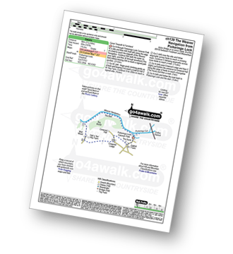
Walk ch139 The Weaver Navigation from Pickerings Lock

Canal towpaths & farmland

Download GPS Waypoint Data for walk ch139
Download GPX Waypoint Data for walk ch139
Download Map and Route Details for walk ch139

Vital Statistics:

Length:3.75 miles (6 km)
Ascent:197ft (60m)
Time:1.75hrs
Grade:Grade 1 Walking Easy
Walk 22 Walking Bootprint Icon

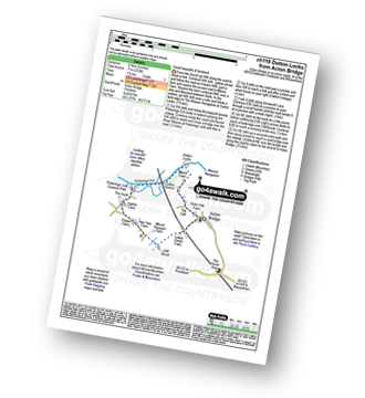
Walk ch118 Dutton Locks from Acton Bridge

Canal towpaths & farmland

Download GPS Waypoint Data for walk ch118
Download GPX Waypoint Data for walk ch118
Download Map and Route Details for walk ch118

Vital Statistics:

Length:4 miles (6.5 km)
Ascent:233ft (71m)
Time:1.75hrs
Grade:Grade 1 Walking Easy
Walk 23 Walking Bootprint Icon

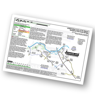
Walk ch250 Weaver Navigation from Acton Bridge

Canals & farmland

Download GPS Waypoint Data for walk ch250
Download GPX Waypoint Data for walk ch250
Download Map and Route Details for walk ch250

Vital Statistics:

Length:7.25 miles (11.5 km)
Ascent:384ft (117m)
Time:3 hrs
Grade:Grade 3 Walking Easy
Walk 24 Walking Bootprint Icon

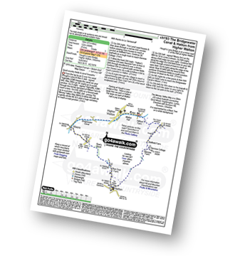
Walk ch193 The Bridgewater Canal and Hatton from Higher Walton

Quiet country fields & canal towpaths

Download GPS Waypoint Data for walk ch193
Download GPX Waypoint Data for walk ch193
Download Map and Route Details for walk ch193

Vital Statistics:

Length:6.25 miles (10 km)
Ascent:400ft (122m)
Time:2.75hrs
Grade:Grade 3 Walking Easy
Walk 25 Walking Bootprint Icon

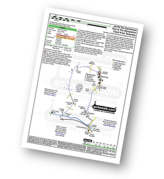
Walk ch116 The Sandstone Trail and The Shropshire Union Canal from Tarpoley

Field path & a canal towpath

Download GPS Waypoint Data for walk ch116
Download GPX Waypoint Data for walk ch116
Download Map and Route Details for walk ch116

Vital Statistics:

Length:6 miles (9.5 km)
Ascent:295ft (90m)
Time:2½ hrs
Grade:Grade 2 Walking Easy
Walk 26 Walking Bootprint Icon

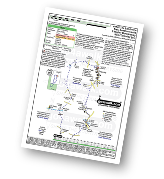
Walk ch142 The Sandstone Trail, Beeston Castle and Higher Burwardsley from Tarporley

Field paths and woodland

Download GPS Waypoint Data for walk ch142
Download GPX Waypoint Data for walk ch142
Download Map and Route Details for walk ch142

Vital Statistics:

Length:11.25 miles (18 km)
Ascent:883ft (269m)
Time:5 hrs
Grade:Grade 5 Walking Moderate
Walk 27 Walking Bootprint Icon

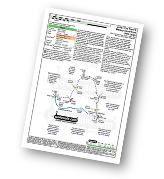
Walk ch181 The Trent and Mersey Canal from Little Leigh

Delightful canal walk & quiet countryside

Download GPS Waypoint Data for walk ch181
Download GPX Waypoint Data for walk ch181
Download Map and Route Details for walk ch181

Vital Statistics:

Length:5 miles (8 km)
Ascent:338ft (103m)
Time:2.25hrs
Grade:Grade 2 Walking Easy
Walk 28 Walking Bootprint Icon

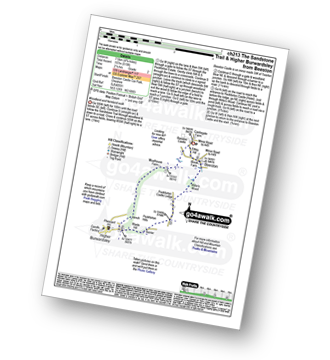
Walk ch213 The Sandstone Trail and Higher Burwardsley from Beeston

Woodland and farmland walk

Download GPS Waypoint Data for walk ch213
Download GPX Waypoint Data for walk ch213
Download Map and Route Details for walk ch213

Vital Statistics:

Length:4.75 miles (7.5 km)
Ascent:515ft (157m)
Time:2.25hrs
Grade:Grade 2 Walking Easy
Walk 29 Walking Bootprint Icon

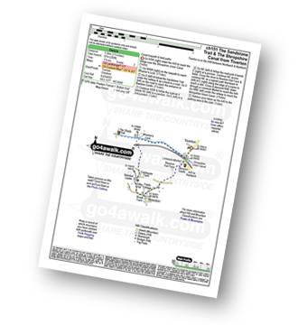
Walk ch151 The Sandstone Trail and The Shropshire Union Canal from Tiverton

Canal towpath and field paths

Download GPS Waypoint Data for walk ch151
Download GPX Waypoint Data for walk ch151
Download Map and Route Details for walk ch151

Vital Statistics:

Length:3.5 miles (5.5 km)
Ascent:286ft (87m)
Time:1.75hrs
Grade:Grade 2 Walking Easy
Walk 30 Walking Bootprint Icon

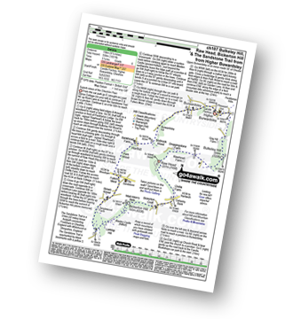
Walk ch107 Bulkeley Hill, Raw Head, Bickerton Hill and The Sandstone Trail from Upper Bewardsley

Superb views of the Cheshire Plain

Download GPS Waypoint Data for walk ch107
Download GPX Waypoint Data for walk ch107
Download Map and Route Details for walk ch107

Vital Statistics:

Length:9.5 miles (15 km)
Ascent:1,831ft (558m)
Time:5.25hrs
Grade:Grade 6 Walking Moderate

Not familiar with the area around CH61?

See these 30 nearest walks to UK Postcode CH61 on a google map


Follow go4awalk.com on Twitter Follow go4awalk.com on Facebook


Do not miss our pick of the Best Walks in the UK