![]()
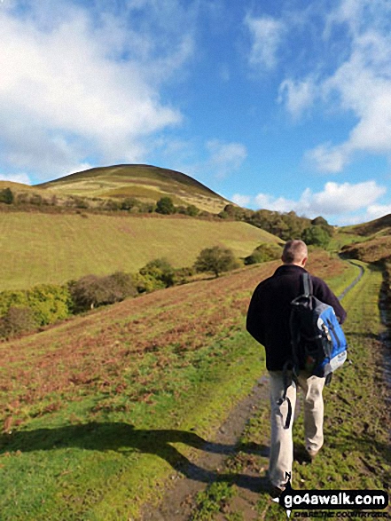
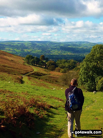
Moel Arthur
456m (1496ft)
The Clwydian Hills, Flintshire, Wales
The summit of Moel Arthur is marked by a cairn..

Not familiar with this top?
   |
|---|
Vital Statistics:
| Length: | 4ml (6.5km) |
|---|---|
| Ascent: | 1,086ft (331m) |
| Time: | 2½ hrs |
| Grade: |  (Easy) (Easy) |
|
|---|
Vital Statistics:
| Length: | 7.5ml (12km) |
|---|---|
| Ascent: | 1,746ft (532m) |
| Time: | 4½ hrs |
| Grade: |  (Moderate) (Moderate) |
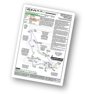
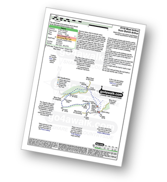
Route Summary:
Bwlch Arthur - Moel Arthur - Coed Llangwyfan - Penycloddiau - Nant Coed-y-mynydd - Pen-y-bryn - Bwlch Arthur
A go4awalk.com downloadable Peak Bagging Map in PDF format featuring Moel Arthur should be available soon.
You can find Moel Arthur & all the walks that climb it on these unique free-to-access Interactive Walk Planning Maps:
1:25,000 scale OS Explorer Map (orange/yellow covers):
An Interactive Walk Planning Map for OS Explorer 265 Clwydian Range / Bryniau is not currently available
1:50,000 scale OS Landranger Map (pink/magenta covers):
 Fellow go4awalkers who have already walked, climbed, summited & bagged Moel Arthur
Mark Davidson walked up it on May 19th, 2006 [with] T [weather] Nice & sunny.
Iain Ballard has walked, climbed & bagged Moel Arthur.
To add (or remove) your name and experiences on this page - Log On and edit your Personal Mountain Bagging Record
More Photographs & Pictures of views from, on or of Moel Arthur
Send us your photographs and pictures on, of, or from Moel Arthur
If you would like to add your walk photographs and pictures to this page, please send them as email attachments (configured for any computer) along with your name to:
and we shall do our best to publish them.
(Guide Resolution = 300dpi. At least = 660pixels (wide) x 440 pixels (high).)

You can also submit photos via our Facebook Page.
NB. Please indicate where each photo was taken and whether you wish us to credit your photos with a Username or your First Name/Last Name.
Not familiar with this top?