![]()
Y Lliwedd (East Top)
893m (2931ft)
The Snowdon Area, Snowdonia, Gwynedd, Wales
Y Lliwedd (East Top) means 'The Hue' in Welsh and is pronounced 'uh-thl-ee-weth'.
The summit of Y Lliwedd (East Top) is marked by a cairn.
Not familiar with this top?
   |
|---|
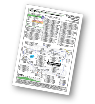
Vital Statistics:
| Length: | 7ml (11km) |
|---|---|
| Ascent: | 3,805ft (1,160m) |
| Time: | 6.25hrs |
| Grade: |  (Moderate) (Moderate) |
Route Summary:
Pen-y-Pass - Pyg Track - Bwlch y Moch - Craig Fach - Crib Goch - Garnedd Ugain (Crib y Ddysgl) - Snowdon Mountain Railway - Snowdon (Yr Wyddfa) - The Scree Path - Bwlch y Saethau - Bwlch Ciliau - Y Lliwedd - Y Lliwedd (East Top) - Lliwedd Bach - Miners' Track - Pen-y-Pass
|
|---|
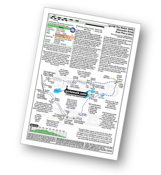
Vital Statistics:
| Length: | 7.5ml (12km) |
|---|---|
| Ascent: | 4,100ft (1,250m) |
| Time: | 6½ hrs |
| Grade: |  (Hard) (Hard) |
Route Summary:
Pen-y-Pass - Pyg Track - Bwlch y Moch - Craig Fach - Crib Goch - Garnedd Ugain (Crib y Ddysgl) - Snowdon Mountain Railway - Snowdon (Yr Wyddfa) - The Scree Path - Bwlch y Saethau - Bwlch Ciliau - Y Lliwedd - Y Lliwedd (East Top) - Lliwedd Bach - Gallt y Wenallt - Afon Glaslyn - Miners' Track - Pen-y-Pass
See Y Lliwedd (East Top) and the surrounding tops on our free-to-access 'Google Style' Peak Bagging Maps:
The Snowdon Area of Snowdonia National Park
Less data - quicker to download
The Whole of Snowdonia National Park
More data - might take a little longer to download
See Y Lliwedd (East Top) and the surrounding tops on our downloadable Peak Bagging Map in PDF format:

NB: Whether you print off a copy or download it to your phone, this PDF Peak Baggers' Map might prove incredibly useful when your are up there on the tops and you cannot get a phone signal.
You can find Y Lliwedd (East Top) & all the walks that climb it on these unique free-to-access Interactive Walk Planning Maps:
1:25,000 scale OS Explorer Map (orange/yellow covers):
1:50,000 scale OS Landranger Map (pink/magenta covers):
 Fellow go4awalkers who have already walked, climbed, summited & bagged Y Lliwedd (East Top)
Adrian Haywood walked up Y Lliwedd (East Top) on December 19th, 2021 [from/via/route] Miners path then down the watkin path from snowdon. [with] Rob [weather] sunny
Mark Davidson climbed it on October 25th, 2016 [from/via/route] Walk gw136 The Snowdon (Yr Wyddfa) Horseshoe from Pen y Pass [with] Sub G's [weather] Rather cloudy - A classic - despite the weather
Melfyn Parry bagged it on June 15th, 2022 [from/via/route] Start point for the walk was the lay-by near Caffi Gwynant. Took Watkyn Path up to SH622516, then crossed bridge above waterfalls to continue on a path along edge of woods which eventually comes to a disused mine at SH634530. Route then indistinct but steep to gain the ridge. Path was more obvious from this point, following ridge to ascend Lliwedd Bach, continuing along to ascend Lliwedd's East & West peaks before descending back to car park down the Watkyn Path. [with] U3A [weather] Great day, mostly comfortable temperatures, cool on summits. No rain until the final descent when slight shower. - Tough ascent but great views
Andy Buxton hiked Y Lliwedd (East Top) during August, 1964 [with] Dad - And many other times!
Hugh Strickland summited during 2018 [from/via/route] On Snowdon Horseshoe route in April
To add (or remove) your name and experiences on this page - Log On and edit your Personal Mountain Bagging Record
. . . [see more walk reports]
More Photographs & Pictures of views from, on or of Y Lliwedd (East Top)
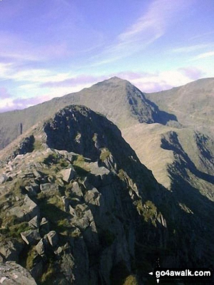
Y Lliwedd summit from Y Lliwedd (East Top) with Snowdon (Yr Wyddfa) in the distance
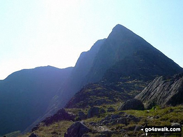
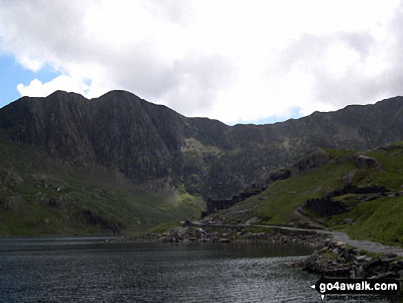
Y Lliwedd, Y Lliwedd (East Top) and Y Lliwedd Bach from the Watkin Path on Bwlch Ciliau
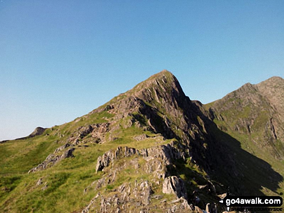
Y Lliwedd Bach (centre), Y Lliwedd (East Top) and Y Lliwedd (far right) from the north east ridge
Send us your photographs and pictures on, of, or from Y Lliwedd (East Top)
If you would like to add your walk photographs and pictures to this page, please send them as email attachments (configured for any computer) along with your name to:
and we shall do our best to publish them.
(Guide Resolution = 300dpi. At least = 660pixels (wide) x 440 pixels (high).)

You can also submit photos via our Facebook Page.
NB. Please indicate where each photo was taken and whether you wish us to credit your photos with a Username or your First Name/Last Name.