
![]()
Whernside
736m (2416ft)
The Southern Dales Area, The Yorkshire Dales, North Yorkshire/Cumbria, England
Whernside is the highest point in The Yorkshire Dales National Park and the highest point in the county of North Yorkshire.
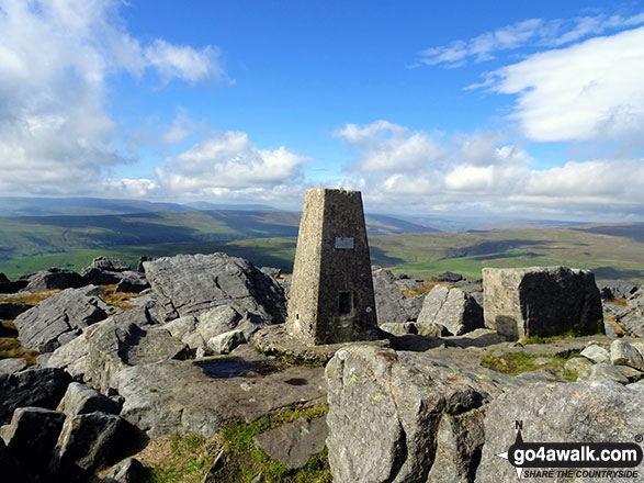
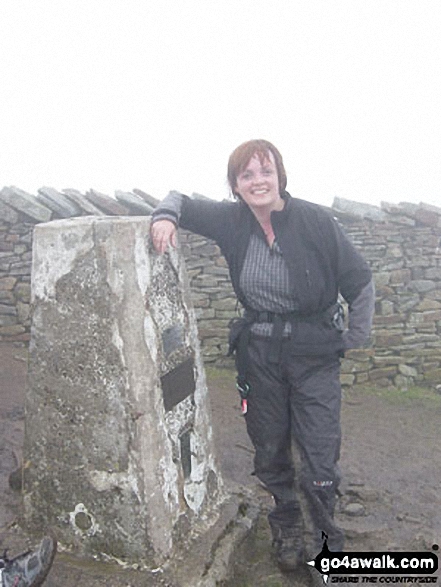
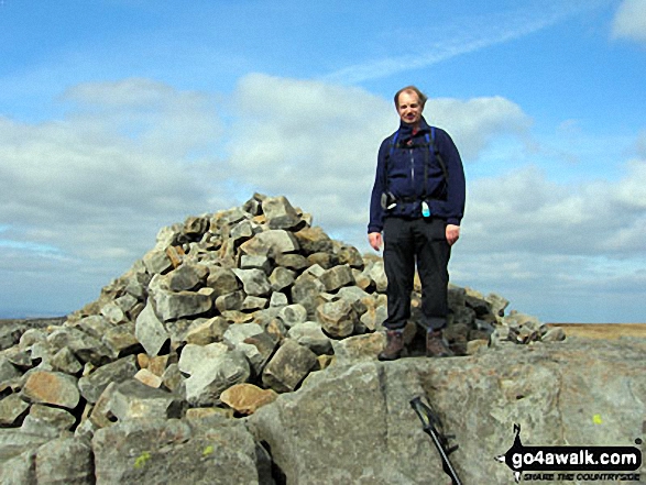
The summit of Whernside is marked by an Ordnance Survey Trig Point.

Not familiar with this top?
   |
|---|
Vital Statistics:
| Length: | 7.75ml (12.5km) |
|---|---|
| Ascent: | 1,574ft (480m) |
| Time: | 4½ hrs |
| Grade: |  (Moderate) (Moderate) |
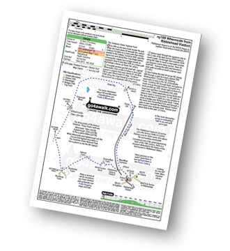
Route Summary:
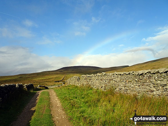
Ribblehead - Blea Moor - Force Gill - Grain Ing - Whernside - Broadrake Farm - Ivescar Farm - Ribblehead
|
|---|
Vital Statistics:
| Length: | 8.75ml (14km) |
|---|---|
| Ascent: | 1,772ft (540m) |
| Time: | 5 hrs |
| Grade: |  (Moderate) (Moderate) |
Route Summary:
Ribblehead - (Railway Station) - Blea Moor Common - Blue Clay Ridge - Force Gill - Grain Ing - Greenset Moss - Whernside - Broadrake Farm - Bruntscar Farm - Philpin Farm - Scar Close - Ellerbeck Pasture - Ribblehead
|
|---|
Vital Statistics:
| Length: | 12.25ml (19.5km) |
|---|---|
| Ascent: | 2,306ft (703m) |
| Time: | 6.70hrs |
| Grade: |  (Hard) (Hard) |
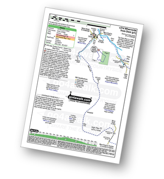
Route Summary:
Dent - Flinter Gill - Green Lane - High Pike - Whernside - Wernside Tarns - Craven Way - Mill Bridge (Deepdale Beck) - The Dales Way - Deepdale Beck - River Dee - Dent
|
|---|
Vital Statistics:
| Length: | 14ml (22.5km) |
|---|---|
| Ascent: | 3,207ft (977m) |
| Time: | 8½ hrs |
| Grade: |  (Hard) (Hard) |
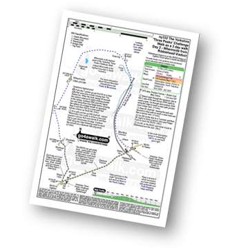
Route Summary:
Horton in Ribblesdale - Railway Station - Train Journey - Ribblehead Railway Station - Ribblehead - Blea Moor - Whernside - Broadrake Farm - Ribblehead - Blea Moor - Whernside - Broadrake Farm - Chapel-le-Dale - Braithwaite Wife Hole - Ingleborough - Pen-y-ghent Cafe - Horton in Ribblesdale.
|
|---|
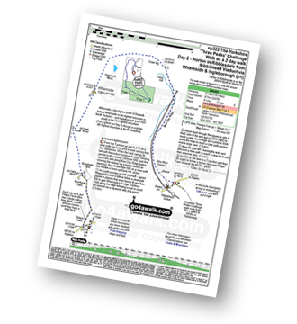
Vital Statistics:
| Length: | 24ml (38.5km) |
|---|---|
| Ascent: | 5,297ft (1,614m) |
| Time: | 14 hrs |
| Grade: |  (Very Hard) (Very Hard) |
Route Summary:
Horton in Ribblesdale - Pen-y-ghent Cafe - Brackenbottom - Gavel Rigg - The Pennine Way - Pen-y-ghent - Hunt Pot - Hull Pot - Whitber Hill - God's Bridge - Brow Gill Beck - Nether Lodge - River Ribble - Lodge Hall (or Ingman Lodge) - Ribblehead - Blea Moor - Whernside - Broadrake Farm - Chapel-le-Dale - Braithwaite Wife Hole - Ingleborough - Pen-y-ghent Cafe - Horton in Ribblesdale.
See Whernside and the surrounding tops on our free-to-access 'Google Style' Peak Bagging Maps:
The Southern Dales Area of The Yorkshire Dales National Park
Less data - quicker to download
The Whole of The Yorkshire Dales National Park
More data - might take a little longer to download
See Whernside and the surrounding tops on our downloadable Peak Bagging Map in PDF format:

NB: Whether you print off a copy or download it to your phone, this PDF Peak Baggers' Map might prove incredibly useful when your are up there on the tops and you cannot get a phone signal.
You can find Whernside & all the walks that climb it on these unique free-to-access Interactive Walk Planning Maps:
1:25,000 scale OS Explorer Map (orange/yellow covers):
1:50,000 scale OS Landranger Map (pink/magenta covers):
 Fellow go4awalkers who have already walked, climbed, summited & bagged Whernside
Hazel Gilbert walked up Whernside on August 22nd, 2007 [with] Lawrence
David Peebles climbed Whernside on June 20th, 2024 [from/via/route] parked at Horton in Ribblesdale [with] Solo [weather] Mixed Weather. Warm but wet a bits - Great walk.
Nina Adams bagged Whernside on August 28th, 2022 [from/via/route] Parked at the pub, Old Hill Inn, for lunch (Not great food) Ribblehead - Blea Moor - Force Gill - Grain Ing - Whernside - Broadrake Farm - Ivescar Farm - Ribblehead [with] Craig and George [weather] Cloudy Feels like 18.3° 4 kph WNW wind 74% humidity
Sarah Moore hiked Whernside on July 30th, 2022 [from/via/route] Three Peaks [with] On my own - but thanks to Steve the Scouser...the 2 lads from Grimsby and the 4 guys who finished at the same time! [weather] Awful!!
Ruth Nolan summited Whernside on June 27th, 2022 [from/via/route] Dent, Dales High Way, tarns [with] Solo [weather] Some clouds, light breeze, mostly bright with occasional shower
Keith Axell conquered Whernside on August 7th, 2021 [from/via/route] Three Peaks route anti-clockwise from Horton [with] Jeff Young [weather] Wet, windy & mild. No visibility near top up.
Carl Tillotson scaled Whernside on August 8th, 2021 [from/via/route] route from Ribble Viaduct [with] June [weather] Broken cloud with occasional spittle of rain, windy.
Jeff Stott walked up Whernside on June 29th, 2021 [from/via/route] Ribblehead [with] Shell [weather] Good - Great walk. 1st mountain... Epic :D
David Hughes climbed Whernside on December 22nd, 2010 [with] DD DG Waz
Tony Halliday bagged Whernside on August 11th, 2020 [from/via/route] camped at Horton in ribblesdale but drove & parked near the viaduct started & ended walk here [with] sally halliday jimmy boo and George our 3 dogs [weather] drizzle to start with poor visability at summit but beautiful weather on way down - not too busy views not great due to cloud however a great days walking 2nd of the 3 peaks over 3 days
To add (or remove) your name and experiences on this page - Log On and edit your Personal Mountain Bagging Record
. . . [see more walk reports]
More Photographs & Pictures of views from, on or of Whernside
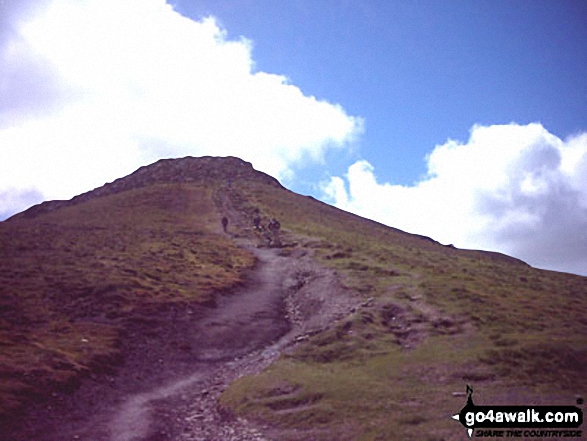
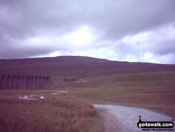
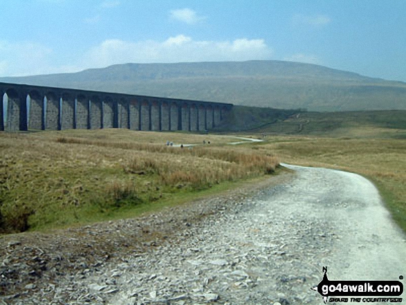
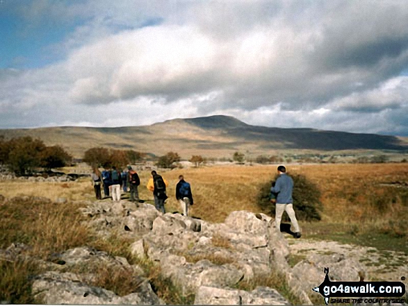
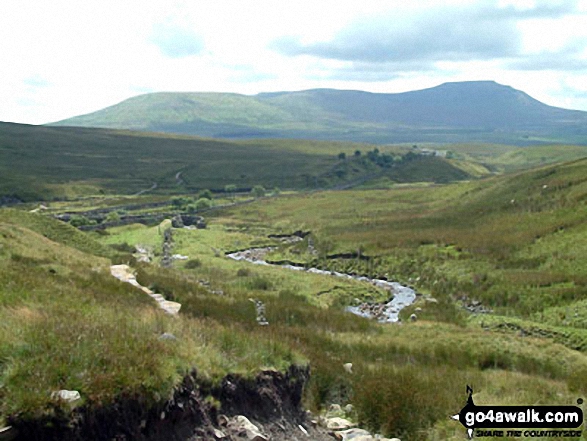
The Yorkshire Three Peaks Challenge - approaching Whernside from Ribblehead
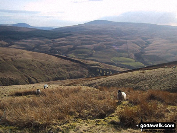
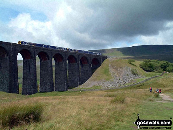
The Arten Gill Beck railway viaduct with Ingleborough (far left) and Whernside (centre) on the horizon from Great Knoutberry Hill (Widdale Fell)
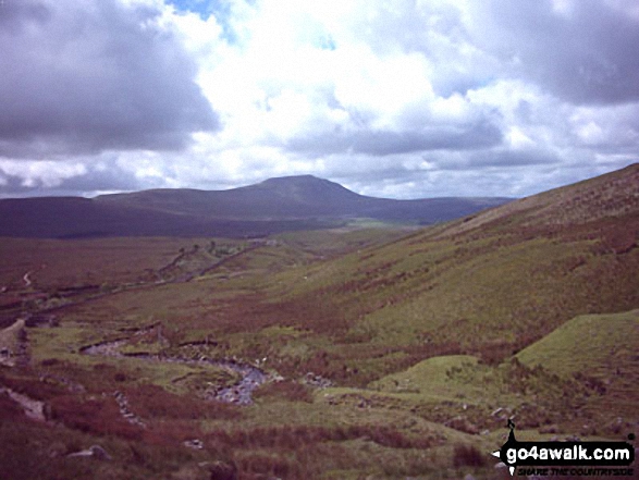
Heading for Whernside from Ribblehead on The Yorkshire Three Peaks Challenge
The Yorkshire Three Peaks - Ingleborough (left), Pen-y-ghent (centre) and Whernside (right) from the summit of Fountains Fell
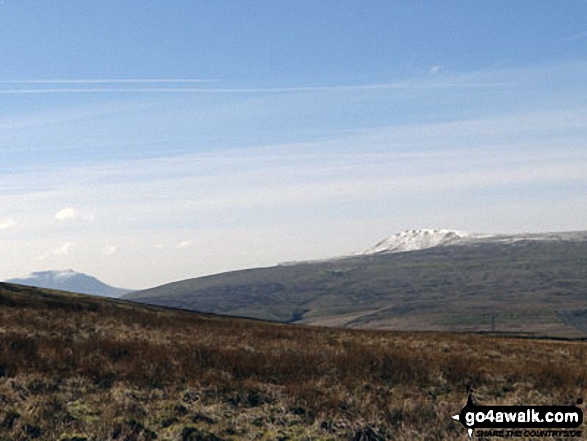
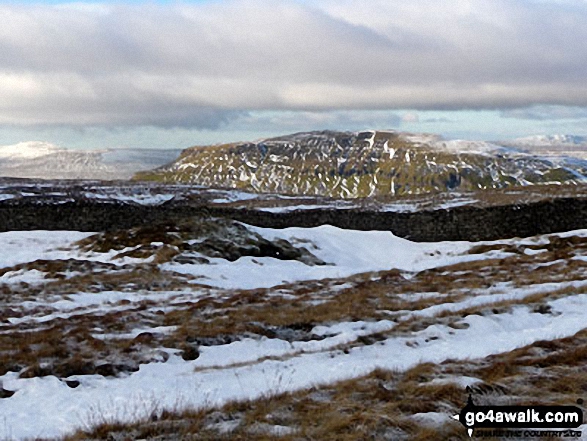
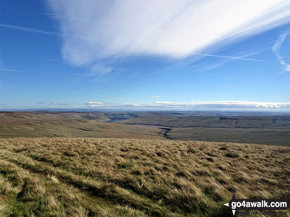
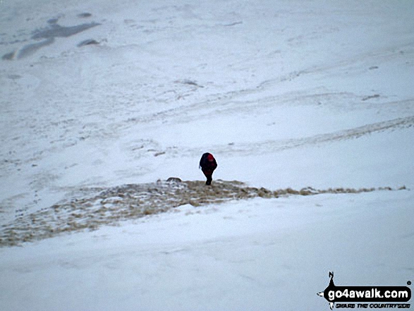
Snow on Whernside (left) and Pen-y-ghent from the path up Great Knoutberry Hill (Widdale Fell)
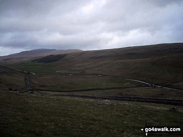
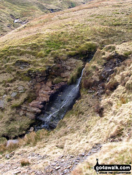
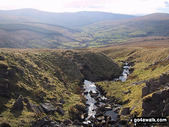
One of the many streams that flow into Stone Beck on the lower slopes of Great Whernside
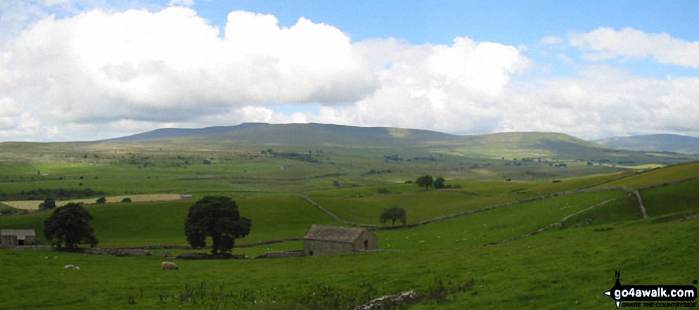
Dentdale with Whernside (left) Calf Top (centre) and Aye Gill Pike (right) from Great Knoutberry Hill (Widdale Fell)
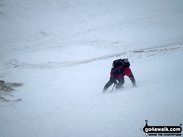
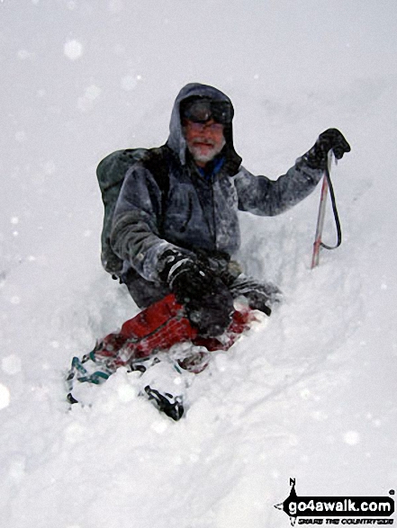
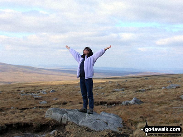
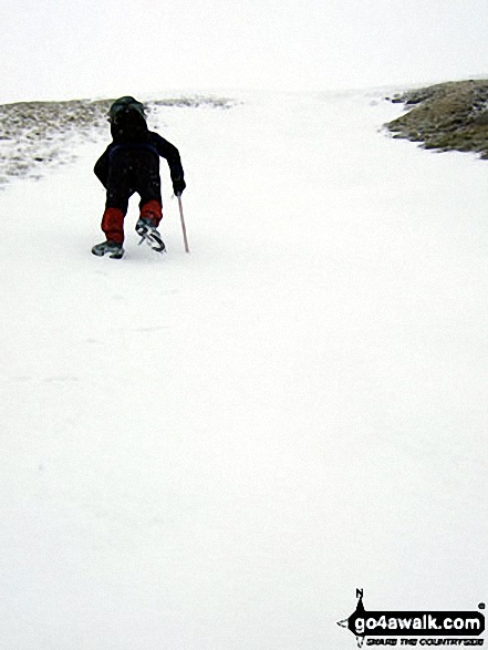
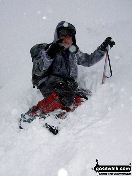
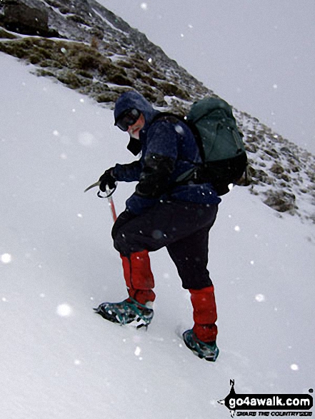
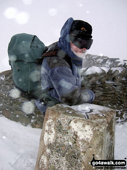
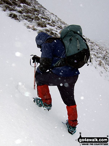
Mike (go4awalk.com editor) practising his crampons and ice-axe technique in the snow on Whernside
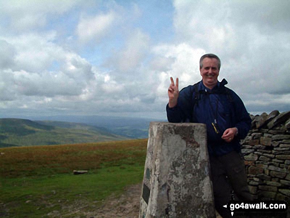
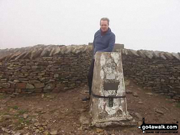
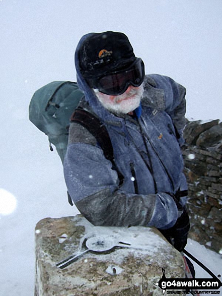
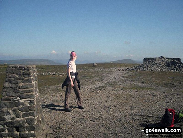
On Whernside Summit - taking a breather two thirds of the way round the Yorkshire Three Peaks Challenge Walk
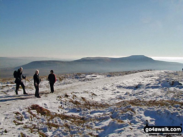
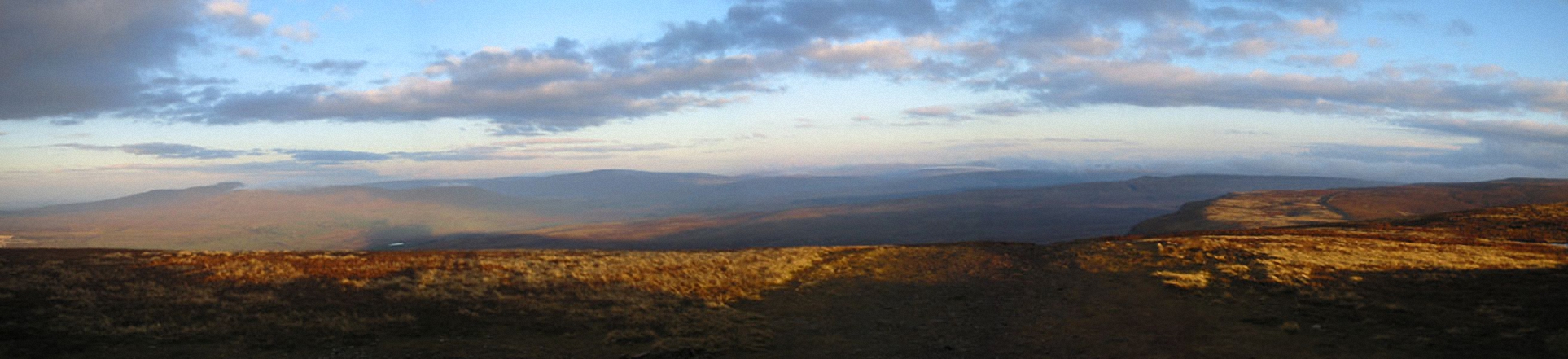
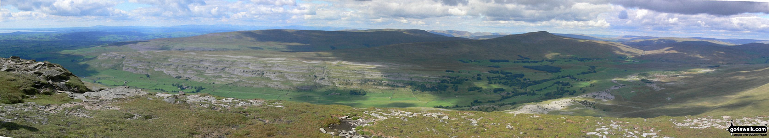
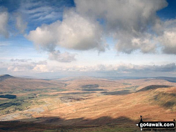
Park Fell (left), Simon Fell and Ingleborough (right) from the summit of Whernside while doing the Yorkshire Three Peaks Challenge Walk in the snow
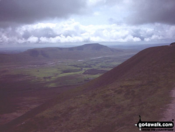
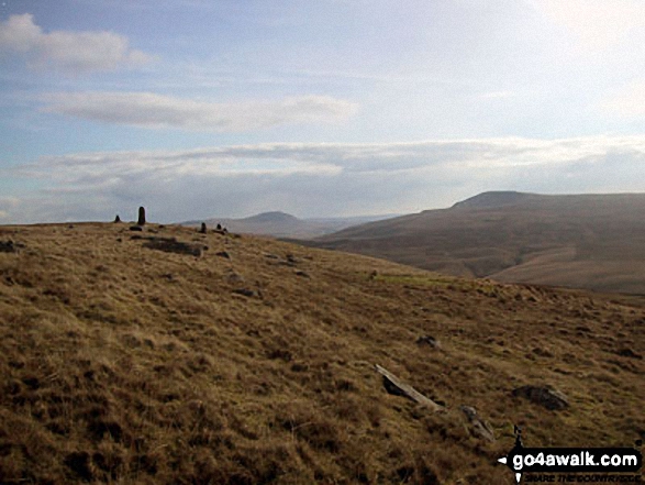
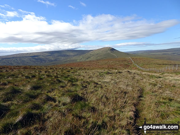
Curricks on Great Knoutberry Hill (Widdale Fell) with Ingleborough (centre) and Whernside (right) beyond
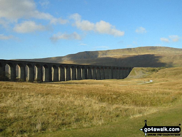
Whernside (left), The Ribblehead Viaduct (centre) and Park Fell (right) from the summit of Ingleborough
At the top of Ingleborough - with Whernside (left) and Pen-y-ghent (right) in the distance. The Yorkshire 3 Peaks Challenge Walk completed!
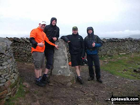
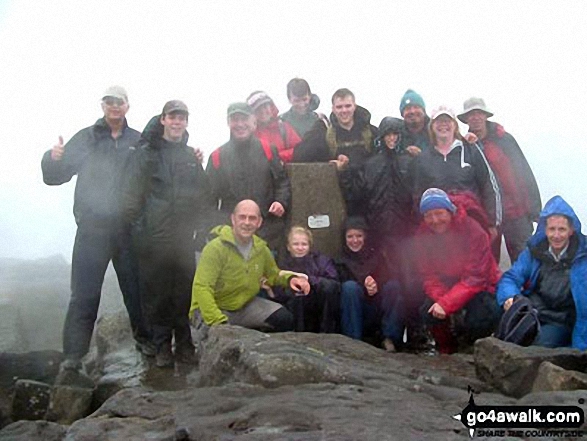
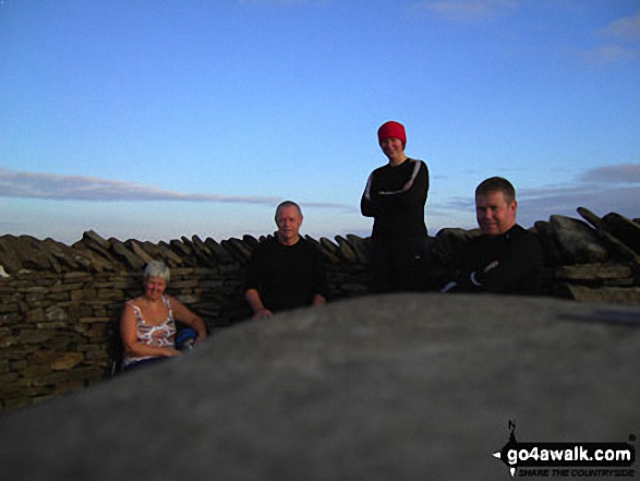
Phil, Carl, Chris and Charlie - 1st time Yorkshire 3 Peakers at Whernside summit
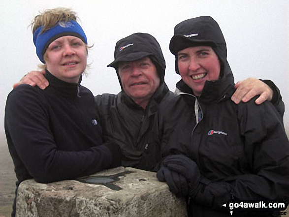
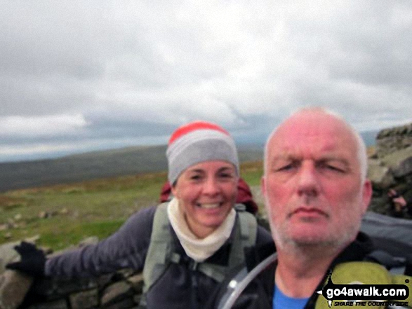
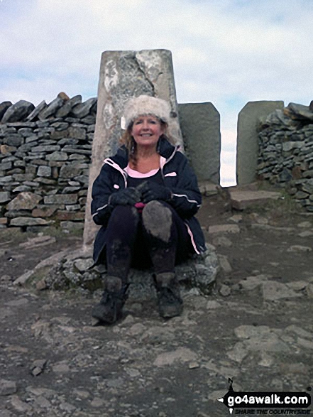
Hayley Me and Jo on top of Whernside Summit - giving the Yorkshire Three Peaks Challenge Walk another bash
. . . see just 20 walk photographs & pictures of views from, on or of Whernside
Send us your photographs and pictures on, of, or from Whernside
If you would like to add your walk photographs and pictures featuring views from, on or of Whernside to this page, please send them as email attachments (configured for any computer) along with your name to:
and we shall do our best to publish them.
(Guide Resolution = 300dpi. At least = 660pixels (wide) x 440 pixels (high).)

You can also submit photos via our Facebook Page.
NB. Please indicate where each photo was taken and whether you wish us to credit your photos with a Username or your First Name/Last Name.
Not familiar with this top?


