
![]()
Dumyat
418m (1372ft)
The Orchil Hills, Central Scotland, Stirlingshire, Scotland
Tap/mouse over a coloured circle (1-3 easy walks, 4-6 moderate walks, 7-9 hard walks) and click to select.
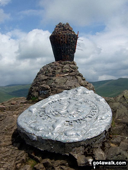
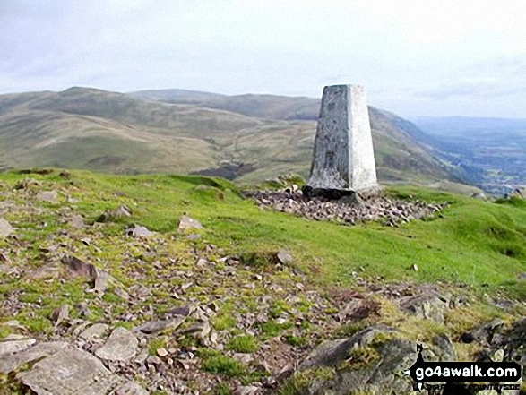
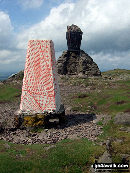
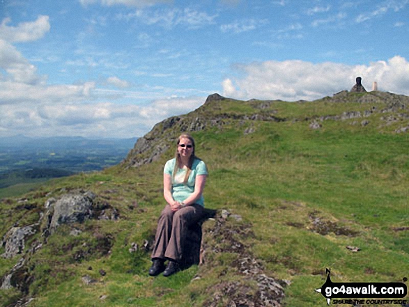
The summit of Dumyat is marked by an Ordnance Survey Trig Point.
Not familiar with this top?
   |
|---|
Vital Statistics:
| Length: | 7.25ml (11.5km) |
|---|---|
| Ascent: | 1,894ft (577m) |
| Time: | 4½ hrs |
| Grade: |  (Moderate) (Moderate) |
Route Summary:
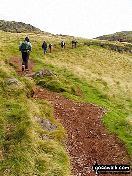
Kirk Logie - Bridge of Allan - Yellow Craig Wood - Dumyat - Glen Menstrie - Lossburn Reservoir - Kirk Logie - Bridge of Allan.
See Dumyat and the surrounding tops on our free-to-access 'Google Style' Peak Bagging Maps:
The Orchil Hills area of Scottish Region 25: Central Scotland
Less data - quicker to download
Scottish Region 25: Central Scotland
Less data - quicker to download
A go4awalk.com downloadable Peak Bagging Map in PDF format featuring Dumyat should be available soon.
You can find Dumyat & all the walks that climb it on these unique free-to-access Interactive Walk Planning Maps:
1:25,000 scale OS Explorer Map (orange/yellow covers):
An Interactive Walk Planning Map for OS Explorer 366 Stirling & Ochil Hills West is not currently available
1:50,000 scale OS Landranger Map (pink/magenta covers):
 Fellow go4awalkers who have already walked, climbed, summited & bagged Dumyat
Andrew Else has walked, climbed & bagged Dumyat.
To add (or remove) your name and experiences on this page - Log On and edit your Personal Mountain Bagging Record
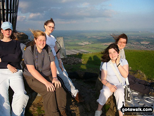
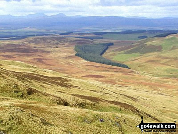
More Photographs & Pictures of views from, on or of Dumyat

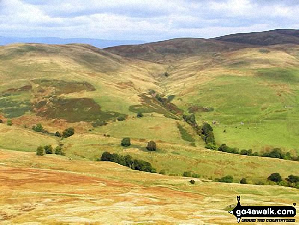
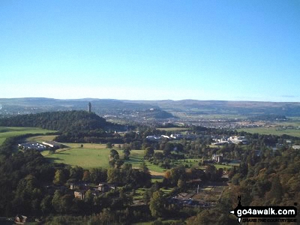
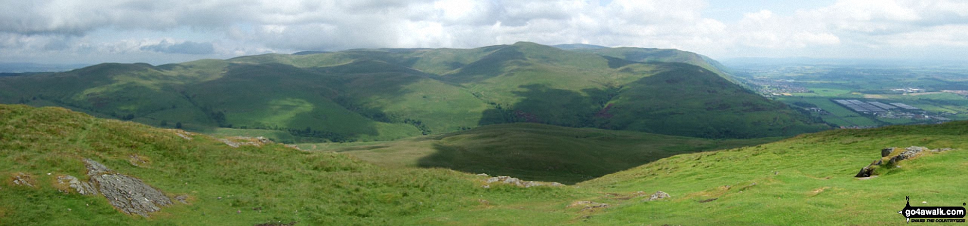
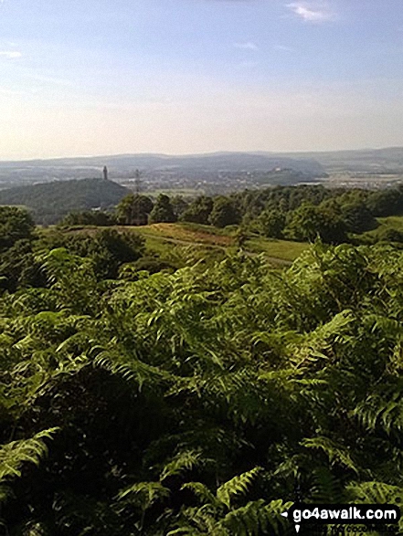
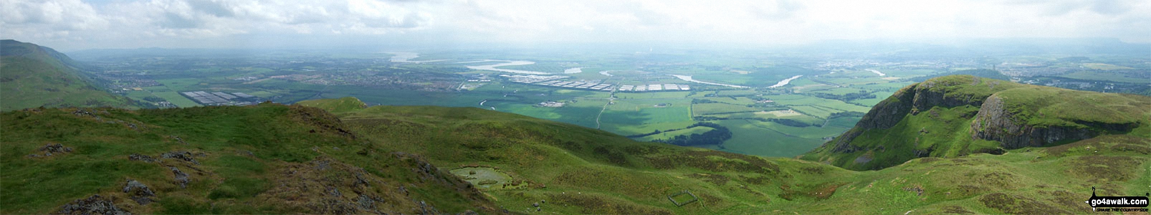
Bridge of Allan, Stirling, The Forth River and Alloa from the summit of Dumyat
Send us your photographs and pictures on, of, or from Dumyat
If you would like to add your walk photographs and pictures featuring views from, on or of Dumyat to this page, please send them as email attachments (configured for any computer) along with your name to:
and we shall do our best to publish them.
(Guide Resolution = 300dpi. At least = 660pixels (wide) x 440 pixels (high).)

You can also submit photos via our Facebook Page.
NB. Please indicate where each photo was taken and whether you wish us to credit your photos with a Username or your First Name/Last Name.
Not familiar with this top?


