All the Mountains, Peaks, Tops and Hills in Scottish Region 3: Scottish Region 3: Loch Leven to Connel Bridge, Strath of Orchy and Glen Lochy on a Google Map
Scottish Region 3: Loch Leven to Connel Bridge, Strath of Orchy and Glen Lochy region is the area enclosed by an imaginary line connecting:
- Rubh' a' Bhaid Bheithe to Rannoch Station via Loch Linnhe, South Ballachulish, Glencoe, Loch Leven & Black Water to the North
- Rannoch Station to Tyndrum via the railway lineLoch Tulla & Bridge of Orchy to the East
- Tyndrum to Lynn of Lorn via the A85 through Glen Lochy, Dalmally, Loch Awe, The River Awe, The Pass of Brander, Taynuilt & Loch Etive to the South
- Lynn of Lorn to Rubh' a' Bhaid Bheithe via Loch Linnhe to the West
If you count only the Grahams there are 13 tops to climb, bag & conquer and the highest point is Sgorr na Ciche (Pap of Glencoe) at 742m (2,435ft).
To see these Mountains, Peaks, Tops and Hills displayed in different ways - see the options in the left-hand column and towards the bottom of this page.
![]() Your Personal Bagging Record for Scottish Region 3: Loch Leven to Connel Bridge, Strath of Orchy and Glen Lochy
Your Personal Bagging Record for Scottish Region 3: Loch Leven to Connel Bridge, Strath of Orchy and Glen Lochy
LOG ON and RELOAD this page to show which Mountains, Peaks, Tops and Hills you have already climbed, bagged & conquered [. . . more details]
NB. If a Google Map does not appear below, or the icons do not respond, click here to refresh the page. If that doesn't work, try deleting your browser's cache.
View these 13 Mountains, Peaks, Tops and Hills:
- On an Interactive Google Map (loads faster)
- On an Interactive Google Map with a list of tops below it.
(makes it easier to locate a particular top) - On a Detailed List in:
Alphabetical Order | Height Order - On one page with 'yet-to-be-bagged' listed 1st & then 'already-bagged' tops listed 2nd in:
Alphabetical Order | Height Order - On one page with 'already-bagged' tops listed 1st & then 'yet-to-be-bagged' tops listed 2nd in:
Alphabetical Order | Height Order
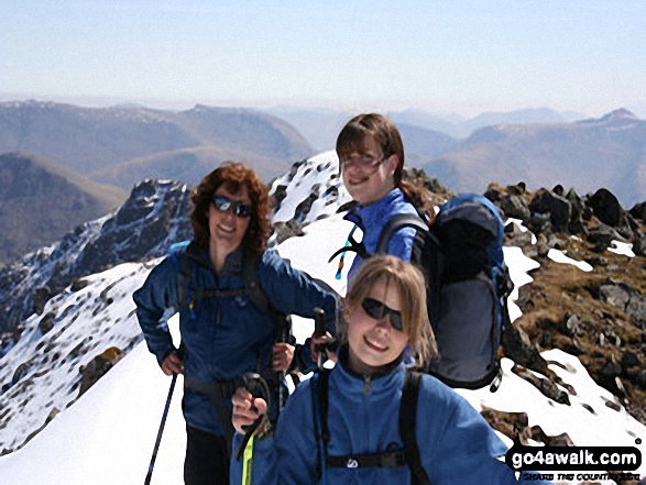 Bidean nam Bian in Loch Leven to Connel Bridge, Strath of Orchy and Glen Lochy
Photo: Eric Smith
Is there a Mountain, Peak, Top or Hill missing from the above google map or list?


