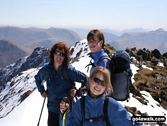
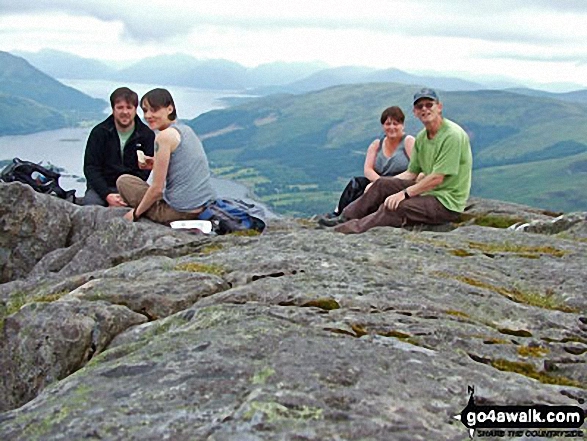
A fully detailed list of all the Mountains, Peaks, Tops and Hills in Scottish Region 3: Loch Leven to Connel Bridge, Strath of Orchy and Glen Lochy
Scottish Region 3: Loch Leven to Connel Bridge, Strath of Orchy and Glen Lochy region is the area enclosed by an imaginary line connecting:
- Rubh' a' Bhaid Bheithe to Rannoch Station via Loch Linnhe, South Ballachulish, Glencoe, Loch Leven & Black Water to the North
- Rannoch Station to Tyndrum via the railway lineLoch Tulla & Bridge of Orchy to the East
- Tyndrum to Lynn of Lorn via the A85 through Glen Lochy, Dalmally, Loch Awe, The River Awe, The Pass of Brander, Taynuilt & Loch Etive to the South
- Lynn of Lorn to Rubh' a' Bhaid Bheithe via Loch Linnhe to the West
If you count only the Grahams there are 13 tops to climb, bag & conquer and the highest point is Sgorr na Ciche (Pap of Glencoe) at 742m (2,435ft).
To see these Mountains, Peaks, Tops and Hills displayed in different ways - see the options in the left-hand column and towards the bottom of this page.
LOG ON and RELOAD this page to show which Mountains, Peaks, Tops and Hills you have already climbed, bagged & conquered [. . . more details]
See this list in: Alphabetical Order
| Height Order‡
To reverse the order select the link again.
Mountain, Peak, Top or Hill:
Bagged
1. Sgorr na Ciche (Pap of Glencoe)
742m (2,435ft)
See the location of Sgorr na Ciche (Pap of Glencoe) and walks up it on a google Map Sgorr na Ciche (Pap of Glencoe) is on interactive maps:
A downloadable go4awalk.com PDF Peak Bagging Map featuring Sgorr na Ciche (Pap of Glencoe) will be available soon. |
2. Stob na Cruaiche
739m (2,425ft)
Stob na Cruaiche is on interactive maps:
A downloadable go4awalk.com PDF Peak Bagging Map featuring Stob na Cruaiche will be available soon. |
3. Mam Hael (Beinn Bhreac)
726m (2,382ft)
Send it in and we'll publish it here.
Mam Hael (Beinn Bhreac) is on interactive maps:
A downloadable go4awalk.com PDF Peak Bagging Map featuring Mam Hael (Beinn Bhreac) will be available soon. |
4. Beinn Mheadhonach (Loch Etive)
715m (2,347ft)
Send it in and we'll publish it here.
Beinn Mheadhonach (Loch Etive) is on interactive maps:
A downloadable go4awalk.com PDF Peak Bagging Map featuring Beinn Mheadhonach (Loch Etive) will be available soon. |
5. Beinn nan Lus (Glen Kinglass)
709m (2,327ft)
Send it in and we'll publish it here.
Beinn nan Lus (Glen Kinglass) is on interactive maps:
A downloadable go4awalk.com PDF Peak Bagging Map featuring Beinn nan Lus (Glen Kinglass) will be available soon. |
6. Meall Garbh (Glen Kinglass)
701m (2,301ft)
Send it in and we'll publish it here.
Meall Garbh (Glen Kinglass) is on interactive maps:
A downloadable go4awalk.com PDF Peak Bagging Map featuring Meall Garbh (Glen Kinglass) will be available soon. |
7. Beinn Molurgainn
688m (2,258ft)
Beinn Molurgainn is on interactive maps:
A downloadable go4awalk.com PDF Peak Bagging Map featuring Beinn Molurgainn will be available soon. |
8. Beinn Suidhe
676m (2,219ft)
Beinn Suidhe is on interactive maps:
A downloadable go4awalk.com PDF Peak Bagging Map featuring Beinn Suidhe will be available soon. |
9. Meall Mor (Glen Coe)
676m (2,219ft)
Send it in and we'll publish it here.
Meall Mor (Glen Coe) is on interactive maps:
A downloadable go4awalk.com PDF Peak Bagging Map featuring Meall Mor (Glen Coe) will be available soon. |
10. Meall Tairbh
665m (2,183ft)
Meall Tairbh is on interactive maps:
A downloadable go4awalk.com PDF Peak Bagging Map featuring Meall Tairbh will be available soon. |
11. Sgorr a' Choise
663m (2,176ft)
Sgorr a' Choise is on interactive maps:
A downloadable go4awalk.com PDF Peak Bagging Map featuring Sgorr a' Choise will be available soon. |
12. Beinn Donachain
650m (2,133ft)
Beinn Donachain is on interactive maps:
A downloadable go4awalk.com PDF Peak Bagging Map featuring Beinn Donachain will be available soon. |
13. Beinn na Sroine
636m (2,087ft)
Beinn na Sroine is on interactive maps:
A downloadable go4awalk.com PDF Peak Bagging Map featuring Beinn na Sroine will be available soon. |
View these 13 Mountains, Peaks, Tops and Hills:
- On an Interactive Google Map (loads faster)
- On an Interactive Google Map with a list of tops below it.
(makes it easier to locate a particular top) - On a Detailed List in:
Alphabetical Order | Height Order - On one page with 'yet-to-be-bagged' listed 1st & then 'already-bagged' tops listed 2nd in:
Alphabetical Order | Height Order - On one page with 'already-bagged' tops listed 1st & then 'yet-to-be-bagged' tops listed 2nd in:
Alphabetical Order | Height Order
 Bidean nam Bian in Loch Leven to Connel Bridge, Strath of Orchy and Glen Lochy
Photo: Eric Smith
Is there a Mountain, Peak, Top or Hill missing from the above google map or list?
Let us know an we will add it to our database.


