The Galloway Forest Hills area of Scottish Region 26: The Southern Uplands - a fully detailed list of all the Mountains, Peaks, Tops and Hills
The Galloway Forest Hills area of Scottish Region 26: The Southern Uplands region is the area enclosed by an imaginary line connecting:
- Ayr to Kirkcudbright via the A713 through Patna, Dalmellington, Carsphain, St John's Town of Dairy, New Galloway, Lauriston and Ringford to the East
- Kirkcudbright to Wigtown via Wigtown Bay to the South
- Wigtown to Ayr via the A714 to Bergrennan via Newton Stewart, Water of Minnoch via Glentrool Village to Rig of Shalloch, Water of Girvan to Straiton, the B741 to Crosshill, the B7023 Maybole and then the A77 Ayre to the West
If you count only the Marilyns there are 18 tops to climb, bag & conquer and the highest point is Merrick at 843m (2,766ft).
To see these Mountains, Peaks, Tops and Hills displayed in different ways - see the options in the left-hand column and towards the bottom of this page.
![]() Your Personal Bagging Record for The Galloway Forest Hills area of Scottish Region 26: The Southern Uplands
Your Personal Bagging Record for The Galloway Forest Hills area of Scottish Region 26: The Southern Uplands
LOG ON and RELOAD this page to show which Mountains, Peaks, Tops and Hills you have already climbed, bagged & conquered [. . . more details]
See this list in: Alphabetical Order
| Height Order‡
To reverse the order select the link again.
Mountain, Peak, Top or Hill:
Bagged

![]()
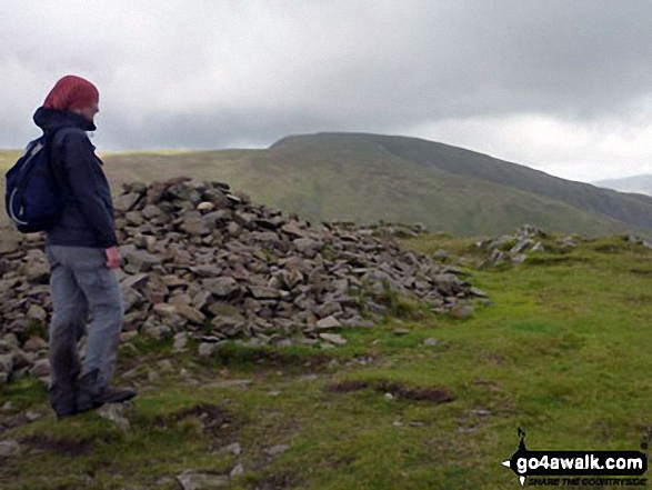
1. Merrick
843m (2,766ft)
Merrick is on interactive maps:
A downloadable go4awalk.com PDF Peak Bagging Map featuring Merrick will be available soon. |
![]()
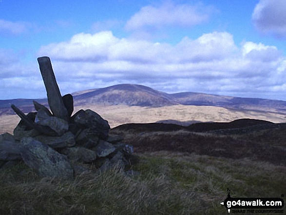
2. Corserine
814m (2,672ft)
Corserine is on interactive maps:
A downloadable go4awalk.com PDF Peak Bagging Map featuring Corserine will be available soon. |
![]()
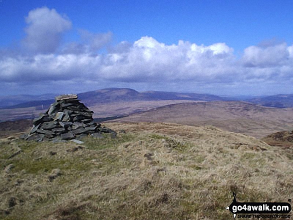
3. Kirriereoch Hill
787m (2,581ft)
Kirriereoch Hill is on interactive maps:
A downloadable go4awalk.com PDF Peak Bagging Map featuring Kirriereoch Hill will be available soon. |
![]()
4. Shalloch on Minnoch
775m (2,544ft)
Send it in and we'll publish it here.
Shalloch on Minnoch is on interactive maps:
A downloadable go4awalk.com PDF Peak Bagging Map featuring Shalloch on Minnoch will be available soon. |
![]()
5. Lamachan Hill
717m (2,353ft)
Lamachan Hill is on interactive maps:
A downloadable go4awalk.com PDF Peak Bagging Map featuring Lamachan Hill will be available soon. |
![]()
6. Cairnsmore of Fleet
711m (2,334ft)
Cairnsmore of Fleet is on interactive maps:
A downloadable go4awalk.com PDF Peak Bagging Map featuring Cairnsmore of Fleet will be available soon. |
![]()
7. Mullwharchar
692m (2,271ft)
Mullwharchar is on interactive maps:
A downloadable go4awalk.com PDF Peak Bagging Map featuring Mullwharchar will be available soon. |
![]()
8. Millfore
657m (2,156ft)
Millfore is on interactive maps:
A downloadable go4awalk.com PDF Peak Bagging Map featuring Millfore will be available soon. |
![]()
9. Craignaw
645m (2,117ft)
Craignaw is on interactive maps:
A downloadable go4awalk.com PDF Peak Bagging Map featuring Craignaw will be available soon. |
![]()
10. Craiglee (Loch Dee)
531m (1,743ft)
Send it in and we'll publish it here.
Craiglee (Loch Dee) is on interactive maps:
A downloadable go4awalk.com PDF Peak Bagging Map featuring Craiglee (Loch Dee) will be available soon. |
![]()
11. Craiglee (Loch Doon)
523m (1,716ft)
Send it in and we'll publish it here.
Craiglee (Loch Doon) is on interactive maps:
A downloadable go4awalk.com PDF Peak Bagging Map featuring Craiglee (Loch Doon) will be available soon. |
![]()
12. Cairnsmore (Black Craig of Dee)
493m (1,618ft)
Send it in and we'll publish it here.
Cairnsmore (Black Craig of Dee) is on interactive maps:
A downloadable go4awalk.com PDF Peak Bagging Map featuring Cairnsmore (Black Craig of Dee) will be available soon. |
![]()
13. Craignell
477m (1,566ft)
Craignell is on interactive maps:
A downloadable go4awalk.com PDF Peak Bagging Map featuring Craignell will be available soon. |
![]()
14. Fell of Fleet
470m (1,543ft)
Fell of Fleet is on interactive maps:
A downloadable go4awalk.com PDF Peak Bagging Map featuring Fell of Fleet will be available soon. |
![]()
15. Cairnharrow
457m (1,499ft)
Cairnharrow is on interactive maps:
A downloadable go4awalk.com PDF Peak Bagging Map featuring Cairnharrow will be available soon. |
![]()
16. Pibble Hill
383m (1,257ft)
Pibble Hill is on interactive maps:
A downloadable go4awalk.com PDF Peak Bagging Map featuring Pibble Hill will be available soon. |
![]()
17. Bengray
366m (1,201ft)
Bengray is on interactive maps:
A downloadable go4awalk.com PDF Peak Bagging Map featuring Bengray will be available soon. |
![]()
18. White Top of Culreoch
344m (1,129ft)
Send it in and we'll publish it here.
White Top of Culreoch is on interactive maps:
A downloadable go4awalk.com PDF Peak Bagging Map featuring White Top of Culreoch will be available soon. |
View these 18 Mountains, Peaks, Tops and Hills:
- On an Interactive Google Map (loads faster)
- On an Interactive Google Map with a list of tops below it.
(makes it easier to locate a particular top) - On a Detailed List in:
Alphabetical Order | Height Order - On one page with 'yet-to-be-bagged' listed 1st & then 'already-bagged' tops listed 2nd in:
Alphabetical Order | Height Order - On one page with 'already-bagged' tops listed 1st & then 'yet-to-be-bagged' tops listed 2nd in:
Alphabetical Order | Height Order
Is there a Mountain, Peak, Top or Hill missing from the above google map or list?
Let us know an we will add it to our database.
To contribute to go4awalk.com or to contact us about anything at all - see Talk To Us.
For help see Help.
go4awalk.com and go4awalk.co.uk are registered trademarks of TMDH Limited.
Copyright © 2000-2025 TMDH Limited. All rights reserved.
Copyright Terms & Conditions Privacy Statement
A - Z Walks Home Log On/Accounts Photo Gallery Walk Ideas and Collections Fell Facts Hill Skills Walking Questions and Answers Your Stories News Competitions Product Reviews/Gear Tests Walking Gear Guides Peaks and Mountains Peak Bagging Find New Walking Friends Camping GPS Waypoints for Walking Contents Walk Search Talk To Us go4awalk.com Help Free Example Walks Newsletter


