Scotland - a fully detailed list of all the Mountains, Peaks, Tops and Hills
The Fionn Loch Mountains area of Scottish Region 14: Loch Maree to Loch Broom region is the area enclosed by an imaginary line connecting:
- Loch Ewe to Loch Broom via North Minch to the North
- Loch Broom to Braemore Junction via Inverlael and the A835 to the North East
- Braemore Junction to Taggan via the A832, Loch a' Bhraoin, Abhainn Loch a' Bhraoin, Allt Cul Doireachan, the South Eastern of Loch Fada and Gleann Bianasdail the South
- Taggan to Loch Ewe via Loch Maree the South West
If you include all the Munros, the Corbetts, the Grahams, the Donalds, the Murdos, the Marilyns, the Bridgets (Hills), and all the Mountains, Tops, Peaks and Hills with a Trig Point on them there are 29 tops to climb, bag & conquer and the highest point is An Teallach (Bidein a' Ghlas Thuil) at 1,062m (3,485ft).
To see these Mountains, Peaks, Tops and Hills displayed in different ways - see the options in the left-hand column and towards the bottom of this page.
![]() Your Personal Bagging Record for The Fionn Loch Mountains area of Scottish Region 14: Loch Maree to Loch Broom
Your Personal Bagging Record for The Fionn Loch Mountains area of Scottish Region 14: Loch Maree to Loch Broom
LOG ON and RELOAD this page to show which Mountains, Peaks, Tops and Hills you have already climbed, bagged & conquered [. . . more details]
See this list in: Alphabetical Order‡
| Height Order
To reverse the order select the link again.
Mountain, Peak, Top or Hill:
Bagged

![]()
1. A' Mhaighdean
967m (3,174ft)
A' Mhaighdean is on interactive maps:
A downloadable go4awalk.com PDF Peak Bagging Map featuring A' Mhaighdean will be available soon. |

![]()
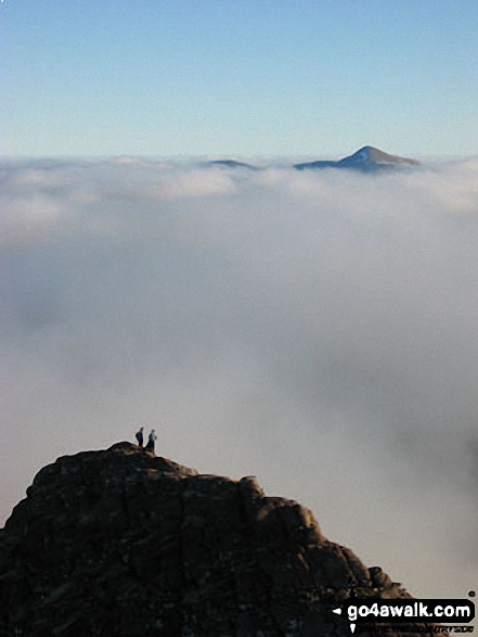
2. An Teallach (Bidein a' Ghlas Thuil)
1,062m (3,485ft)
An Teallach (Bidein a' Ghlas Thuil) is on interactive maps:
A downloadable go4awalk.com PDF Peak Bagging Map featuring An Teallach (Bidein a' Ghlas Thuil) will be available soon. |

![]()
3. Beinn a' Chaisgein Beag
682m (2,238ft)
Send it in and we'll publish it here.
Beinn a' Chaisgein Beag is on interactive maps:
A downloadable go4awalk.com PDF Peak Bagging Map featuring Beinn a' Chaisgein Beag will be available soon. |

![]()
4. Beinn a' Chaisgein Mor
856m (2,809ft)
Send it in and we'll publish it here.
Beinn a' Chaisgein Mor is on interactive maps:
A downloadable go4awalk.com PDF Peak Bagging Map featuring Beinn a' Chaisgein Mor will be available soon. |
![]()
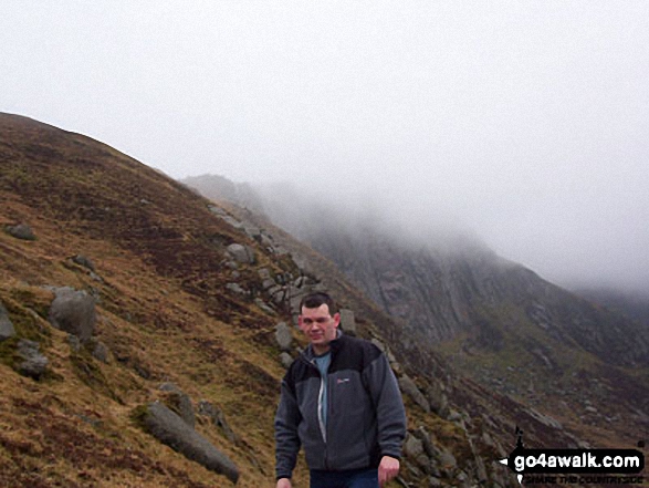
5. Beinn a' Chlaidheimh
914m (2,999ft)
Send it in and we'll publish it here.
Beinn a' Chlaidheimh is on interactive maps:
A downloadable go4awalk.com PDF Peak Bagging Map featuring Beinn a' Chlaidheimh will be available soon. |

![]()
6. Beinn Airigh Charr
792m (2,598ft)
Beinn Airigh Charr is on interactive maps:
A downloadable go4awalk.com PDF Peak Bagging Map featuring Beinn Airigh Charr will be available soon. |
![]()
7. Beinn Dearg Bheag
820m (2,691ft)
Beinn Dearg Bheag is on interactive maps:
A downloadable go4awalk.com PDF Peak Bagging Map featuring Beinn Dearg Bheag will be available soon. |
![]()
8. Beinn Dearg Mor
906m (2,973ft)
Beinn Dearg Mor is on interactive maps:
A downloadable go4awalk.com PDF Peak Bagging Map featuring Beinn Dearg Mor will be available soon. |
![]()
9. Beinn Ghobhlach
635m (2,084ft)
Beinn Ghobhlach is on interactive maps:
A downloadable go4awalk.com PDF Peak Bagging Map featuring Beinn Ghobhlach will be available soon. |
![]()
10. Beinn Lair
859m (2,819ft)
Beinn Lair is on interactive maps:
A downloadable go4awalk.com PDF Peak Bagging Map featuring Beinn Lair will be available soon. |

![]()
11. Beinn nam Ban
580m (1,904ft)
Beinn nam Ban is on interactive maps:
A downloadable go4awalk.com PDF Peak Bagging Map featuring Beinn nam Ban will be available soon. |
![]()
12. Beinn Tarsuinn (Lochan Fada)
937m (3,075ft)
Beinn Tarsuinn (Lochan Fada) is on interactive maps:
A downloadable go4awalk.com PDF Peak Bagging Map featuring Beinn Tarsuinn (Lochan Fada) will be available soon. |

![]()
13. Cnoc a' Bhaid-rallaich
545m (1,789ft)
Send it in and we'll publish it here.
Cnoc a' Bhaid-rallaich is on interactive maps:
A downloadable go4awalk.com PDF Peak Bagging Map featuring Cnoc a' Bhaid-rallaich will be available soon. |

![]()
14. Corrag Bhuidhe (An Teallach)
1,047m (3,436ft)
Send it in and we'll publish it here.
Corrag Bhuidhe (An Teallach) is on interactive maps:
A downloadable go4awalk.com PDF Peak Bagging Map featuring Corrag Bhuidhe (An Teallach) will be available soon. |
![]()
15. Creag Rainich
807m (2,649ft)
Creag Rainich is on interactive maps:
A downloadable go4awalk.com PDF Peak Bagging Map featuring Creag Rainich will be available soon. |
![]()
16. Glas Mheall Mor (An Teallach)
979m (3,213ft)
Send it in and we'll publish it here.
Glas Mheall Mor (An Teallach) is on interactive maps:
A downloadable go4awalk.com PDF Peak Bagging Map featuring Glas Mheall Mor (An Teallach) will be available soon. |
![]()
17. Meall Glac Tigh-fail
521m (1,710ft)
Send it in and we'll publish it here.
Meall Glac Tigh-fail is on interactive maps:
A downloadable go4awalk.com PDF Peak Bagging Map featuring Meall Glac Tigh-fail will be available soon. |

![]()
18. Meall Mheinnidh
722m (2,370ft)
Meall Mheinnidh is on interactive maps:
A downloadable go4awalk.com PDF Peak Bagging Map featuring Meall Mheinnidh will be available soon. |
![]()
19. Mullach Coire Mhic Fhearchair
1,018m (3,341ft)
Send it in and we'll publish it here.
Mullach Coire Mhic Fhearchair is on interactive maps:
A downloadable go4awalk.com PDF Peak Bagging Map featuring Mullach Coire Mhic Fhearchair will be available soon. |
![]()
20. Ruadh Stac Mor (Fionn Loch)
918m (3,013ft)
Send it in and we'll publish it here.
Ruadh Stac Mor (Fionn Loch) is on interactive maps:
A downloadable go4awalk.com PDF Peak Bagging Map featuring Ruadh Stac Mor (Fionn Loch) will be available soon. |
![]()
21. Sail Liath (An Teallach)
954m (3,131ft)
Send it in and we'll publish it here.
Sail Liath (An Teallach) is on interactive maps:
A downloadable go4awalk.com PDF Peak Bagging Map featuring Sail Liath (An Teallach) will be available soon. |
![]()
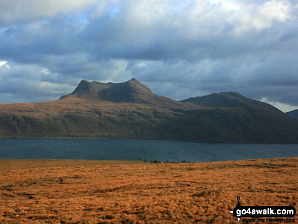
22. Sail Mhor (Little Loch Broom)
767m (2,517ft)
Send it in and we'll publish it here.
Sail Mhor (Little Loch Broom) is on interactive maps:
A downloadable go4awalk.com PDF Peak Bagging Map featuring Sail Mhor (Little Loch Broom) will be available soon. |
![]()
23. Sgurr an Tuill Bhain (Slioch)
934m (3,065ft)
Send it in and we'll publish it here.
Sgurr an Tuill Bhain (Slioch) is on interactive maps:
A downloadable go4awalk.com PDF Peak Bagging Map featuring Sgurr an Tuill Bhain (Slioch) will be available soon. |
![]()
24. Sgurr Ban (Fionn Loch)
989m (3,246ft)
Send it in and we'll publish it here.
Sgurr Ban (Fionn Loch) is on interactive maps:
A downloadable go4awalk.com PDF Peak Bagging Map featuring Sgurr Ban (Fionn Loch) will be available soon. |
![]()
25. Sgurr Creag an Eich (An Teallach)
1,017m (3,338ft)
Send it in and we'll publish it here.
Sgurr Creag an Eich (An Teallach) is on interactive maps:
A downloadable go4awalk.com PDF Peak Bagging Map featuring Sgurr Creag an Eich (An Teallach) will be available soon. |
![]()
26. Sgurr Dubh (Mullach Coire Mhic Fhearchair)
918m (3,013ft)
Send it in and we'll publish it here.
Sgurr Dubh (Mullach Coire Mhic Fhearchair) is on interactive maps:
A downloadable go4awalk.com PDF Peak Bagging Map featuring Sgurr Dubh (Mullach Coire Mhic Fhearchair) will be available soon. |

![]()
27. Sgurr Fiona (An Teallach)
1,060m (3,479ft)
Send it in and we'll publish it here.
Sgurr Fiona (An Teallach) is on interactive maps:
A downloadable go4awalk.com PDF Peak Bagging Map featuring Sgurr Fiona (An Teallach) will be available soon. |
![]()
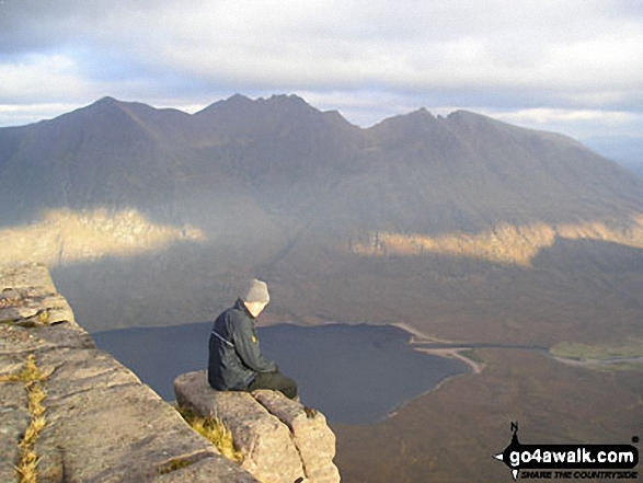
28. Slioch
981m (3,220ft)
Slioch is on interactive maps:
A downloadable go4awalk.com PDF Peak Bagging Map featuring Slioch will be available soon. |
![]()
29. Stob Cadha Gobhlach (An Teallach)
960m (3,151ft)
Send it in and we'll publish it here.
Stob Cadha Gobhlach (An Teallach) is on interactive maps:
A downloadable go4awalk.com PDF Peak Bagging Map featuring Stob Cadha Gobhlach (An Teallach) will be available soon. |
View these 29 Mountains, Peaks, Tops and Hills:
- On an Interactive Google Map (loads faster)
- On an Interactive Google Map with a list of tops below it.
(makes it easier to locate a particular top) - On a Detailed List in:
Alphabetical Order | Height Order - On one page with 'yet-to-be-bagged' listed 1st & then 'already-bagged' tops listed 2nd in:
Alphabetical Order | Height Order - On one page with 'already-bagged' tops listed 1st & then 'yet-to-be-bagged' tops listed 2nd in:
Alphabetical Order | Height Order
Is there a Mountain, Peak, Top or Hill missing from the above google map or list?
Let us know an we will add it to our database.

To contribute to go4awalk.com or to contact us about anything at all - see Talk To Us.
For help see Help.
go4awalk.com and go4awalk.co.uk are registered trademarks of TMDH Limited.
Copyright © 2000-2025 TMDH Limited. All rights reserved.
Copyright Terms & Conditions Privacy Statement
A - Z Walks Home Log On/Accounts Photo Gallery Walk Ideas and Collections Fell Facts Hill Skills Walking Questions and Answers Your Stories News Competitions Product Reviews/Gear Tests Walking Gear Guides Peaks and Mountains Peak Bagging Find New Walking Friends Camping GPS Waypoints for Walking Contents Walk Search Talk To Us go4awalk.com Help Free Example Walks Newsletter


