A fully detailed list of all the Mountains, Peaks, Tops and Hills in Scottish Region 6: The West Mounth - Blair Atholl to Braemar and Blairgowrie (Page 1 of 2)
Scottish Region 6: The West Mounth - Blair Atholl to Braemar and Blairgowrie region is the area enclosed by an imaginary line connecting:
- Kingussie to Kincraig via the A9 through Loch Insh to the North West
- Kincraig to Braemar via the River Feshie, Glen Geldie, Geldie Burn, the River Dee & Linn of Dee to the North East
- Braemar to Kinclaven via the A93, Spittal of Glen Shee, Glen Shee, Cray, Bridge of Cally, Blairgowrie and Rattray to the East
- Kinclaven to Dunkeld via the River Tay to the South;
- Dunkeld to Dalnacardoch Lodge via the A9 though Pitlochry, Killiecrankie & Blair Atholl to the South West
- Dalnacardoch Lodge to Kingussie via Edendon Water, Loch na t-Seilich, Glen Tromie and Drumguish to the West
If you include all the Munros, the Corbetts, the Grahams, the Donalds, the Murdos, the Marilyns, the Bridgets (Hills), and all the Mountains, Tops, Peaks and Hills with a Trig Point on them there are 41 tops to climb, bag & conquer and the highest point is Beinn a' Ghlo (Carn nan Gabhar) at 1,121m (3,679ft).
To see these Mountains, Peaks, Tops and Hills displayed in different ways - see the options in the left-hand column and towards the bottom of this page.
![]() Your Personal Bagging Record for Scottish Region 6: The West Mounth - Blair Atholl to Braemar and Blairgowrie
Your Personal Bagging Record for Scottish Region 6: The West Mounth - Blair Atholl to Braemar and Blairgowrie
LOG ON and RELOAD this page to show which Mountains, Peaks, Tops and Hills you have already climbed, bagged & conquered [. . . more details]
Page 1 of 2 Go to page: 1 2 |
See this list in: Alphabetical Order‡
| Height Order
To reverse the order select the link again.
Mountain, Peak, Top or Hill:
Bagged

![]()
1. The Cairnwell
933m (3,062ft)
The Cairnwell is on interactive maps:
A downloadable go4awalk.com PDF Peak Bagging Map featuring The Cairnwell will be available soon. |

![]()
2. Sron a' Chleirich
816m (2,678ft)
Sron a' Chleirich is on interactive maps:
|

![]()
3. Sgor Mor (Glen Clunie)
887m (2,911ft)
Send it in and we'll publish it here.
Sgor Mor (Glen Clunie) is on interactive maps:
A downloadable go4awalk.com PDF Peak Bagging Map featuring Sgor Mor (Glen Clunie) will be available soon. |

![]()
4. Newtyle Hill
317m (1,040ft)
Newtyle Hill is on interactive maps:
A downloadable go4awalk.com PDF Peak Bagging Map featuring Newtyle Hill will be available soon. |

![]()
5. Morrone (or Morven)
859m (2,819ft)
Morrone (or Morven) is on interactive maps:
A downloadable go4awalk.com PDF Peak Bagging Map featuring Morrone (or Morven) will be available soon. |

![]()
6. Meallach Mhor
769m (2,524ft)
Meallach Mhor is on interactive maps:
A downloadable go4awalk.com PDF Peak Bagging Map featuring Meallach Mhor will be available soon. |
![]()
7. Meall Reamhar (Tuliemet Hill)
534m (1,752ft)
Send it in and we'll publish it here.
Meall Reamhar (Tuliemet Hill) is on interactive maps:
|

![]()
8. Mam nan Carn (Beinn Iutharn Mhor)
986m (3,236ft)
Send it in and we'll publish it here.
Mam nan Carn (Beinn Iutharn Mhor) is on interactive maps:
A downloadable go4awalk.com PDF Peak Bagging Map featuring Mam nan Carn (Beinn Iutharn Mhor) will be available soon. |
![]()
9. Leathad an Taobhain
912m (2,991ft)
Send it in and we'll publish it here.
Leathad an Taobhain is on interactive maps:
A downloadable go4awalk.com PDF Peak Bagging Map featuring Leathad an Taobhain will be available soon. |
![]()
10. Hill of Persie
447m (1,467ft)
Hill of Persie is on interactive maps:
A downloadable go4awalk.com PDF Peak Bagging Map featuring Hill of Persie will be available soon. |

![]()
11. Glas Tulaichean
1,051m (3,449ft)
Glas Tulaichean is on interactive maps:
A downloadable go4awalk.com PDF Peak Bagging Map featuring Glas Tulaichean will be available soon. |

![]()
12. Deuchary Hill
511m (1,677ft)
Deuchary Hill is on interactive maps:
A downloadable go4awalk.com PDF Peak Bagging Map featuring Deuchary Hill will be available soon. |
![]()
13. Croidh-la
640m (2,100ft)
Croidh-la is on interactive maps:
|
![]()
14. Creag nam Mial
563m (1,848ft)
Creag nam Mial is on interactive maps:
A downloadable go4awalk.com PDF Peak Bagging Map featuring Creag nam Mial will be available soon. |
![]()
15. Carn Liath (Glen Tilt)
975m (3,200ft)
Send it in and we'll publish it here.
Carn Liath (Glen Tilt) is on interactive maps:
A downloadable go4awalk.com PDF Peak Bagging Map featuring Carn Liath (Glen Tilt) will be available soon. |
![]()
16. Carn Dearg Mor (Glen Feshie)
857m (2,813ft)
Send it in and we'll publish it here.
Carn Dearg Mor (Glen Feshie) is on interactive maps:
A downloadable go4awalk.com PDF Peak Bagging Map featuring Carn Dearg Mor (Glen Feshie) will be available soon. |
![]()
17. Carn Dearg Beag
694m (2,277ft)
Carn Dearg Beag is on interactive maps:
|
![]()
18. Carn Bhinnein (Carn a' Gheoidh)
917m (3,010ft)
Send it in and we'll publish it here.
Carn Bhinnein (Carn a' Gheoidh) is on interactive maps:
A downloadable go4awalk.com PDF Peak Bagging Map featuring Carn Bhinnein (Carn a' Gheoidh) will be available soon. |

![]()
19. Carn Bhac
946m (3,105ft)
Carn Bhac is on interactive maps:
A downloadable go4awalk.com PDF Peak Bagging Map featuring Carn Bhac will be available soon. |
![]()
20. Carn Aosda
917m (3,010ft)
Carn Aosda is on interactive maps:
A downloadable go4awalk.com PDF Peak Bagging Map featuring Carn Aosda will be available soon. |
![]()
21. Carn an Righ
1,029m (3,377ft)
Carn an Righ is on interactive maps:
A downloadable go4awalk.com PDF Peak Bagging Map featuring Carn an Righ will be available soon. |
![]()
22. Carn an Fhidhleir (Carn Ealar)
994m (3,262ft)
Send it in and we'll publish it here.
Carn an Fhidhleir (Carn Ealar) is on interactive maps:
A downloadable go4awalk.com PDF Peak Bagging Map featuring Carn an Fhidhleir (Carn Ealar) will be available soon. |
![]()
23. Carn a' Gheoidh
975m (3,200ft)
Carn a' Gheoidh is on interactive maps:
A downloadable go4awalk.com PDF Peak Bagging Map featuring Carn a' Gheoidh will be available soon. |
![]()
24. Carn a' Chlamain
963m (3,161ft)
Carn a' Chlamain is on interactive maps:
A downloadable go4awalk.com PDF Peak Bagging Map featuring Carn a' Chlamain will be available soon. |
![]()
25. Braigh Coire Chruinn-bhalgain
1,070m (3,512ft)
Braigh Coire Chruinn-bhalgain is on interactive maps:
A downloadable go4awalk.com PDF Peak Bagging Map featuring Braigh Coire Chruinn-bhalgain will be available soon. |

![]()
26. Blath Bhalg
641m (2,104ft)
Blath Bhalg is on interactive maps:
A downloadable go4awalk.com PDF Peak Bagging Map featuring Blath Bhalg will be available soon. |
![]()
27. Ben Vuirich (Beinn Bhuirich)
903m (2,964ft)
Ben Vuirich (Beinn Bhuirich) is on interactive maps:
A downloadable go4awalk.com PDF Peak Bagging Map featuring Ben Vuirich (Beinn Bhuirich) will be available soon. |
![]()
28. Ben Vrackie
842m (2,762ft)
Ben Vrackie is on interactive maps:
A downloadable go4awalk.com PDF Peak Bagging Map featuring Ben Vrackie will be available soon. |
![]()
29. Ben Gulabin
806m (2,645ft)
Ben Gulabin is on interactive maps:
A downloadable go4awalk.com PDF Peak Bagging Map featuring Ben Gulabin will be available soon. |
![]()
30. Ben Earb
802m (0ft)
Ben Earb is on interactive maps:
|
Page 1 of 2 Go to page: 1 2 |
View these 41 Mountains, Peaks, Tops and Hills:
- On an Interactive Google Map with a list of tops below it.
(makes it easier to locate a particular top) - On a Detailed List in:
Alphabetical Order | Height Order - On one page with 'yet-to-be-bagged' listed 1st
& then 'already-bagged' tops listed 2nd in:
Alphabetical Order | Height Order - On one page with 'already-bagged' tops listed 1st
& then 'yet-to-be-bagged' tops listed 2nd in:
Alphabetical Order | Height Order
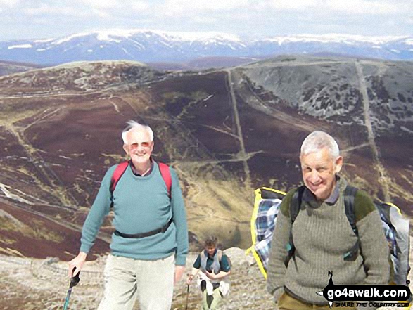
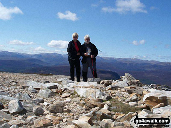
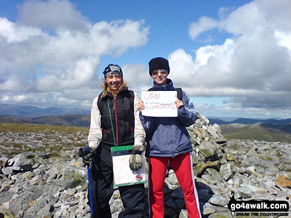
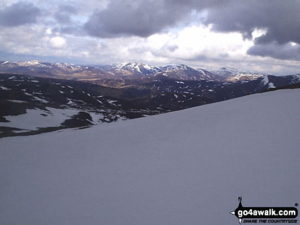
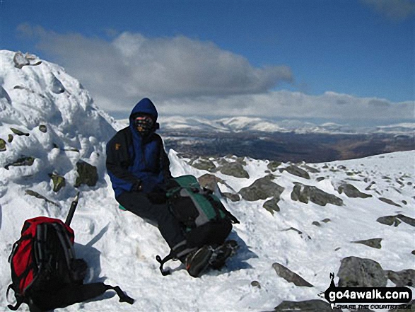
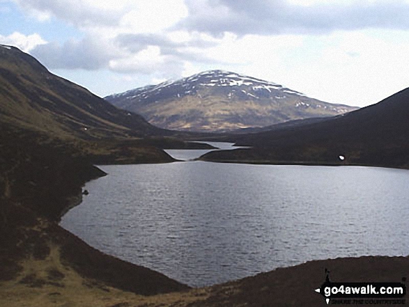
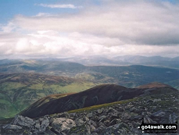 The view from Beinn a' Ghlo (Carn nan Gabhar) in The West Mounth - Blair Atholl to Braemar and Blairgowrie
Photo: Peter Swan
Is there a Mountain, Peak, Top or Hill missing from the above google map or list?
Let us know an we will add it to our database.
To contribute to go4awalk.com or to contact us about anything at all - see Talk To Us.
For help see Help.
go4awalk.com and go4awalk.co.uk are registered trademarks of TMDH Limited.
Copyright © 2000-2026 TMDH Limited. All rights reserved.
Copyright Terms & Conditions Privacy Statement
A - Z Walks Home Log On/Accounts Photo Gallery Walk Ideas and Collections Fell Facts Hill Skills Walking Questions and Answers Your Stories News Competitions Product Reviews/Gear Tests Walking Gear Guides Peaks and Mountains Peak Bagging Find New Walking Friends Camping GPS Waypoints for Walking Contents Walk Search Talk To Us go4awalk.com Help Free Example Walks Newsletter


