
![]()
Braigh Coire Chruinn-bhalgain
1070m (3512ft)
The Tarf and Tilt Hills (West), The West Mounth - Blair Atholl to Braemar and Blairgowrie, Perth and Kinross, Scotland
Not familiar with this top?
See Braigh Coire Chruinn-bhalgain and the surrounding tops on our free-to-access 'Google Style' Peak Bagging Maps:
The Tarf and Tilt Hills (West) area of Scottish Region 6: The West Mounth - Blair Atholl to Braemar and Blairgowrie
Less data - quicker to download
Scottish Region 6: The West Mounth - Blair Atholl to Braemar and Blairgowrie
Less data - quicker to download
A go4awalk.com downloadable Peak Bagging Map in PDF format featuring Braigh Coire Chruinn-bhalgain should be available soon.
Free-to-access Interactive Walk Planning Maps:
1:25,000 scale OS Explorer Map (orange/yellow covers):
An Interactive Walk Planning Map for OS Explorer OL51 Atholl is not currently available
1:50,000 scale OS Landranger Map (pink/magenta covers):
An Interactive Walk Planning Map for OS Landranger 43 Braemar & Blair Atholl is not currently available
 Fellow go4awalkers who have already walked, climbed, summited & bagged Braigh Coire Chruinn-bhalgain
Andrew Edwards walked up Braigh Coire Chruinn-bhalgain on July 29th, 2016 [from/via/route] Loch moraig [with] Myself [weather] Good - Met a nice couple who took photos of me on summit
Mr M A Blanchard, Simon Duerden, Paul Booth, Trevor Williams and Geert Gritter have all walked, climbed & bagged Braigh Coire Chruinn-bhalgain.
To add (or remove) your name and experiences on this page - Log On and edit your Personal Mountain Bagging Record
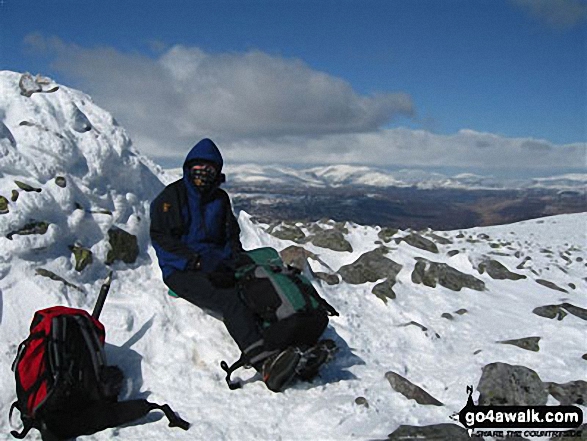
Send us your photographs and pictures on, of, or from Braigh Coire Chruinn-bhalgain
If you would like to add your walk photographs and pictures featuring views from, on or of Braigh Coire Chruinn-bhalgain to this page, please send them as email attachments (configured for any computer) along with your name to:
and we shall do our best to publish them.
(Guide Resolution = 300dpi. At least = 660pixels (wide) x 440 pixels (high).)

You can also submit photos via our Facebook Page.
NB. Please indicate where each photo was taken and whether you wish us to credit your photos with a Username or your First Name/Last Name.
Not familiar with this top?


