The Mountains, Peaks, Tops and Hills in The Glen Coe Mountains area of Scottish Region 3: Scottish Region 3: Loch Leven to Connel Bridge, Strath of Orchy and Glen Lochy with all the tops you have already bagged first & then the ones you are yet to climb second.
The Glen Coe Mountains area of Scottish Region 3: Loch Leven to Connel Bridge, Strath of Orchy and Glen Lochy region is the area enclosed by an imaginary line connecting:
- Glencoe to Blackwater Reservoir via Loch Leven & the River Leven to the North
- Blackwater Reservoir to Black Corries Lodge to the East
- Black Corries Lodge to Gualachulain via the Kings House Hotel and then Glen Etive though Dalness, Invercharnan & Glenceitlein to the South East
- Gualachulain to Elleric via Glen Ure to the South West
- Elleric to Glencoe via Glen Creran and Gleann an Fhiodh to the North West
If you count only the Munros there are 10 tops to climb, bag & conquer and the highest point is Bidean nam Bian at 1,150m (3,774ft).
To see these Mountains, Peaks, Tops and Hills displayed in different ways - see the options in the left-hand column and towards the bottom of this page.
![]() Your Personal Bagging Record for The Glen Coe Mountains area of Scottish Region 3: Loch Leven to Connel Bridge, Strath of Orchy and Glen Lochy
Your Personal Bagging Record for The Glen Coe Mountains area of Scottish Region 3: Loch Leven to Connel Bridge, Strath of Orchy and Glen Lochy
LOG ON and RELOAD this page to show which Mountains, Peaks, Tops and Hills you have already climbed, bagged & conquered [. . . more details]
Scroll down this list of mountains, peaks, tops & hills below and tap/click on each name (in blue) to locate it on the map above.
See this list in: Alphabetical Order | Height Order‡
To reverse the order select the link again.
Mountain, Peak, Top or Hill already bagged:
Bagged
Top yet to be climbed, bagged & conquered:
Bagged

![]()
1. Bidean nam Bian
1150m (3774ft)
Munro
See more details, photos, trip reports and easy-to-follow walks up Bidean nam Bian
![]()
2. Stob Coire Sgreamhach
1072m (3518ft)
Munro
See more details, photos, trip reports and easy-to-follow walks up Stob Coire Sgreamhach
![]()
3. Buachaille Etive Mor (Stob Dearg)
1021m (3351ft)
Munro
See more details, photos, trip reports and easy-to-follow walks up Buachaille Etive Mor (Stob Dearg)
![]()
4. Sgurr na h-Ulaidh
994m (3262ft)
Munro
See more details, photos, trip reports and easy-to-follow walks up Sgurr na h-Ulaidh
![]()
5. Sgorr nam Fiannaidh (Aonach Eagach)
967m (3174ft)
Munro
![]()
6. Beinn Fhionnlaidh (Glen Creran)
959m (3147ft)
Munro
See more details, photos, trip reports and easy-to-follow walks up Beinn Fhionnlaidh (Glen Creran)
![]()
7. Buachaille Etive Beag (Stob Dubh)
958m (3144ft)
Munro
See more details, photos, trip reports and easy-to-follow walks up Buachaille Etive Beag (Stob Dubh)
![]()
8. Stob na Broige (Buachaille Etive Mor)
956m (3138ft)
Munro
![]()
9. Meall Dearg (Aonach Eagach)
953m (3128ft)
Munro
See more details, photos, trip reports and easy-to-follow walks up Meall Dearg (Aonach Eagach)
![]()
10. Stob Coire Raineach (Buachaille Etive Beag)
925m (3036ft)
Munro
![]() Your Personal Bagging Record for The Glen Coe Mountains area of Scottish Region 3: Loch Leven to Connel Bridge, Strath of Orchy and Glen Lochy
Your Personal Bagging Record for The Glen Coe Mountains area of Scottish Region 3: Loch Leven to Connel Bridge, Strath of Orchy and Glen Lochy
LOG ON and RELOAD this page to show which Mountains, Peaks, Tops and Hills you have already climbed, bagged & conquered [. . . more details]
View these 10 Mountains, Peaks, Tops and Hills:
- On a Downloadable PDF you can Print or Save to your Phone#
- On an Interactive Google Map with a list of tops below it.
(makes it easier to locate a particular top) - On a Detailed List in:
Alphabetical Order | Height Order - On one page with 'yet-to-be-bagged' listed 1st
& then 'already-bagged' tops listed 2nd in:
Alphabetical Order | Height Order - On one page with 'already-bagged' tops listed 1st
& then 'yet-to-be-bagged' tops listed 2nd in:
Alphabetical Order | Height Order
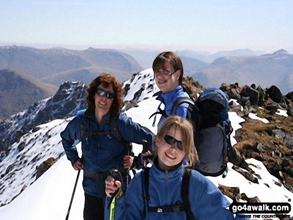 Bidean nam Bian in Loch Leven to Connel Bridge, Strath of Orchy and Glen Lochy
Photo: Eric Smith
Is there a Mountain, Peak, Top or Hill missing from the above google map or list?


