The Mountains, Peaks, Tops and Hills in Scottish Region 16: Scottish Region 16: Assynt and The Far North with all the tops you have already bagged first & then the ones you are yet to climb second.
Scottish Region 16: Assynt and The Far North region is the area enclosed by an imaginary line connecting:
- Cape Wrath to John o' Groats via Durness, Loch Eriboll, Kyle of Tongue, Portskerra, Thurso and Dunnet to the North
- John o' Groats to Dornoch via Wick, Dunbeath and Helmsdale to the South East
- Dornoch to Rhue Lighthouse via Dornich Firth, the A949, Inveran, the A837, Linsidemore, Doune, Langwell, Oykel Bridge, Loubcroy, Ledmore, the A835, Elphin and Strathcanaird to the South
- Rhue Lighthouse to Cape Wrath to the North West
If you count only the Munros there are 4 tops to climb, bag & conquer and the highest point is Ben More Assynt at 998m (3,275ft).
To see these Mountains, Peaks, Tops and Hills displayed in different ways - see the options in the left-hand column and towards the bottom of this page.
![]() Your Personal Bagging Record for Scottish Region 16: Assynt and The Far North
Your Personal Bagging Record for Scottish Region 16: Assynt and The Far North
LOG ON and RELOAD this page to show which Mountains, Peaks, Tops and Hills you have already climbed, bagged & conquered [. . . more details]
Scroll down this list of mountains, peaks, tops & hills below and tap/click on each name (in blue) to locate it on the map above.
See this list in: Alphabetical Order | Height Order‡
To reverse the order select the link again.
Mountain, Peak, Top or Hill already bagged:
Bagged
Top yet to be climbed, bagged & conquered:
Bagged

![]()
1. Ben More Assynt
998m (3275ft)
Munro
See more details, photos, trip reports and easy-to-follow walks up Ben More Assynt
![]()
2. Conival
987m (3239ft)
Munro
See more details, photos, trip reports and easy-to-follow walks up Conival
![]()
3. Ben Klibreck (Meall nan Con)
962m (3157ft)
Munro
See more details, photos, trip reports and easy-to-follow walks up Ben Klibreck (Meall nan Con)
![]()
4. Ben Hope
927m (3042ft)
Munro
See more details, photos, trip reports and easy-to-follow walks up Ben Hope
![]() Your Personal Bagging Record for Scottish Region 16: Assynt and The Far North
Your Personal Bagging Record for Scottish Region 16: Assynt and The Far North
LOG ON and RELOAD this page to show which Mountains, Peaks, Tops and Hills you have already climbed, bagged & conquered [. . . more details]
View these 4 Mountains, Peaks, Tops and Hills:
- On an Interactive Google Map (loads faster)
- On an Interactive Google Map with a list of tops below it.
(makes it easier to locate a particular top) - On a Detailed List in:
Alphabetical Order | Height Order - On one page with 'yet-to-be-bagged' listed 1st & then 'already-bagged' tops listed 2nd in:
Alphabetical Order | Height Order - On one page with 'already-bagged' tops listed 1st & then 'yet-to-be-bagged' tops listed 2nd in:
Alphabetical Order | Height Order
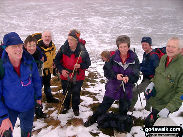 Ben More Assynt in Assynt and The Far North
Photo: Elizabeth Maitland
Is there a Mountain, Peak, Top or Hill missing from the above google map or list?


