All the Mountains, Peaks, Tops and Hills in The North Pennines with all the tops you are yet to climb first & then the ones you have already bagged second
The North Pennines is located in Northern England covering parts of Cumbria, County Durham and Northumberland.
If you count only the Deweys there are 20 tops to climb, bag & conquer and the highest point is Roman Fell at 594m (1,950ft).
To see these Mountains, Peaks, Tops and Hills displayed in different ways - see the options in the left-hand column and towards the bottom of this page.
![]() Your Personal Bagging Record for The North Pennines
Your Personal Bagging Record for The North Pennines
LOG ON and RELOAD this page to show which Mountains, Peaks, Tops and Hills you have already climbed, bagged & conquered [. . . more details]
Scroll down this list of mountains, peaks, tops & hills below and tap/click on each name (in blue) to locate it on the map above.
See this list in: Alphabetical Order | Height Order‡
To reverse the order select the link again.
Top yet to be climbed, bagged & conquered:
Bagged

![]()
1. Park Fell (Gilderdale Forest)
511m (1677ft)
Dewey
See more details, photos, trip reports and easy-to-follow walks up Park Fell (Gilderdale Forest)
![]()
2. Great Knipe
515m (1690ft)
Dewey
See more details, photos, trip reports and easy-to-follow walks up Great Knipe
![]()
3. Collier Law
517m (1697ft)
Dewey
See more details, photos, trip reports and easy-to-follow walks up Collier Law
![]()
4. Brownber Hill
519m (1703ft)
Dewey
See more details, photos, trip reports and easy-to-follow walks up Brownber Hill
![]()
5. Horseshoe Hill
519m (1703ft)
Dewey
See more details, photos, trip reports and easy-to-follow walks up Horseshoe Hill
![]()
6. High Greygrits (Grey Grit)
522m (1713ft)
Dewey
See more details, photos, trip reports and easy-to-follow walks up High Greygrits (Grey Grit)
![]()
7. Moudy Mea
522m (1713ft)
Dewey
See more details, photos, trip reports and easy-to-follow walks up Moudy Mea
![]()
8. Ayle Common
524m (1720ft)
Dewey
See more details, photos, trip reports and easy-to-follow walks up Ayle Common
![]()
9. Pike Rigg (Whitfield Common)
525m (1723ft)
Dewey
See more details, photos, trip reports and easy-to-follow walks up Pike Rigg (Whitfield Common)
![]()
10. Brownley Hill (Kevelin Moor)
533m (1749ft)
Dewey
See more details, photos, trip reports and easy-to-follow walks up Brownley Hill (Kevelin Moor)
![]()
11. Cuns Fell
539m (1769ft)
Dewey
See more details, photos, trip reports and easy-to-follow walks up Cuns Fell
![]()
12. Bolt's Law (Hunstanworth)
541m (1776ft)
Dewey
See more details, photos, trip reports and easy-to-follow walks up Bolt's Law (Hunstanworth)
![]()
13. Hard Rigg (Mohope Moor)
546m (1792ft)
Dewey
See more details, photos, trip reports and easy-to-follow walks up Hard Rigg (Mohope Moor)
![]()
14. Nateby Common (Tailbridge Hill)
547m (1795ft)
Dewey
See more details, photos, trip reports and easy-to-follow walks up Nateby Common (Tailbridge Hill)
![]()
15. Iron Band
563m (1848ft)
Dewey
See more details, photos, trip reports and easy-to-follow walks up Iron Band
![]()
16. Dry Rigg (Redburn Common)
566m (1857ft)
Dewey
See more details, photos, trip reports and easy-to-follow walks up Dry Rigg (Redburn Common)
![]()
17. Middle Fell (Alston Moor)
580m (1904ft)
Dewey
See more details, photos, trip reports and easy-to-follow walks up Middle Fell (Alston Moor)
![]()
18. Blotting Raise (Croglin Fell)
591m (1940ft)
Dewey
See more details, photos, trip reports and easy-to-follow walks up Blotting Raise (Croglin Fell)
![]()
19. Murton Pike
594m (1950ft)
Dewey
See more details, photos, trip reports and easy-to-follow walks up Murton Pike
![]()
20. Roman Fell
594m (1950ft)
Dewey
See more details, photos, trip reports and easy-to-follow walks up Roman Fell
Mountain, Peak, Top or Hill already bagged:
Bagged
![]() Your Personal Bagging Record for The North Pennines
Your Personal Bagging Record for The North Pennines
LOG ON and RELOAD this page to show which Mountains, Peaks, Tops and Hills you have already climbed, bagged & conquered [. . . more details]
View these 20 Mountains, Peaks, Tops and Hills:
- On a Downloadable PDF you can Print or Save to your Phone#
- On an Interactive Google Map (loads faster)
- On an Interactive Google Map with a list of tops below it.
(makes it easier to locate a particular top) - On a Detailed List in:
Alphabetical Order | Height Order - On one page with 'yet-to-be-bagged' listed 1st & then 'already-bagged' tops listed 2nd in:
Alphabetical Order | Height Order - On one page with 'already-bagged' tops listed 1st & then 'yet-to-be-bagged' tops listed 2nd in:
Alphabetical Order | Height Order
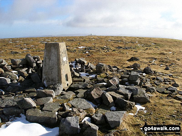 The summit of Cross Fell in The North Pennines
Photo: Ryan Pearson
# Whether you print a copy or download it to your phone, this Peak Baggers' Map will prove incredibly useful if you want to know what's what when you are up in the mountains and cannot get a phone signal.
Is there a Mountain, Peak, Top or Hill missing from the above google map or list?


