The Isle of Man - a fully detailed list of all the Mountains, Peaks, Tops and Hills (Page 4 of 10)
If you count only the Munros there are 282 tops to climb, bag & conquer and the highest point is Ben Nevis at 1,344m (4,411ft).
To see these Mountains, Peaks, Tops and Hills displayed in different ways - see the options in the left-hand column and towards the bottom of this page.
![]() Your Personal Bagging Record for Scotland
Your Personal Bagging Record for Scotland
When logged on, you can mark each Mountain, Peak, Top or Hill as 'bagged' by either:
- if you opt to display the tops in this area using a google map, click or tap on its symbol on the map below. This will open a text window. Click or tap on the 'Record [mountain name] as Bagged, Climbed & Conquered' link towards the bottom of the text window, or
- if you opt to display the tops in this area as a list, click or tap on the red 'not yet' symbol to the right of the name of each 'top'
Either method will open a new page where you can complete all your details such as:
- when you bagged the Mountain, Peak, Top or Hill;
- which route you took
- who you went with
- what the weather was like
- any other comment that will remind you of the day
Once you have completed your details and click or tap the submit button, you will automatically return to this page and the top you bagged will show with a green tick.
NB. None of the above fields are 'mandatory' - you can leave them blank if you wish.
NNB. You also have the option whether to display your peak bagging exploits to other users of this site or keep them private so only you can see them when you are logged on.
Furthermore, since you can also access your Personal Mountain & Hill Bagging Record via go4awalk Mobile you can quickly & easily record, edit and view your achievements - whether you are at home/work on your desktop computer or in the pub/at the top of a mountain with your Mobile Phone. (You can even download your Personal Mountain & Hill Bagging Record as a .csv file for importing into and saving with spreadsheet software like Excel or NeoOffice!)
This facility costs one credit to initially access your personal bagging record. Once accessed, all other interactions, such as recording other Mountains, Peaks, Tops and Hills as 'bagged' or altering an existing bagging record, are free.
Click REGISTER to register and purchase credits.
LOG ON and RELOAD this page to show which Mountains, Peaks, Tops and Hills you have already climbed, bagged & conquered. [ . . . remove this text]
See this list in: Alphabetical Order
| Height Order‡
To reverse the order select the link again.
Mountain, Peak, Top or Hill:
Bagged

![]()
91. Carn Mairg
1,041m (3,417ft)
Carn Mairg is on interactive maps:
A downloadable go4awalk.com PDF Peak Bagging Map featuring Carn Mairg will be available soon. |
![]()
92. Sgurr na Ciche
1,040m (3,413ft)
Sgurr na Ciche is on interactive maps:
A downloadable go4awalk.com PDF Peak Bagging Map featuring Sgurr na Ciche will be available soon. |
![]()
93. Meall Ghaordaidh
1,039m (3,410ft)
Meall Ghaordaidh is on interactive maps:
A downloadable go4awalk.com PDF Peak Bagging Map featuring Meall Ghaordaidh will be available soon. |
![]()
94. Beinn Achaladair
1,038m (3,407ft)
Beinn Achaladair is on interactive maps:
A downloadable go4awalk.com PDF Peak Bagging Map featuring Beinn Achaladair will be available soon. |
![]()
95. Carn a' Mhaim
1,037m (3,403ft)
Carn a' Mhaim is on interactive maps:
A downloadable go4awalk.com PDF Peak Bagging Map featuring Carn a' Mhaim will be available soon. |
![]()
96. Sgurr a' Bhealaich Dheirg
1,036m (3,400ft)
Sgurr a' Bhealaich Dheirg is on interactive maps:
A downloadable go4awalk.com PDF Peak Bagging Map featuring Sgurr a' Bhealaich Dheirg will be available soon. |
![]()
97. Gleouraich
1,035m (3,397ft)
Gleouraich is on interactive maps:
A downloadable go4awalk.com PDF Peak Bagging Map featuring Gleouraich will be available soon. |
![]()
98. Carn Dearg (Loch Pattack)
1,034m (3,394ft)
Carn Dearg (Loch Pattack) is on interactive maps:
A downloadable go4awalk.com PDF Peak Bagging Map featuring Carn Dearg (Loch Pattack) will be available soon. |
![]()
99. Am Bodach (Mamores)
1,032m (3,387ft)
Am Bodach (Mamores) is on interactive maps:
A downloadable go4awalk.com PDF Peak Bagging Map featuring Am Bodach (Mamores) will be available soon. |
![]()
100. Beinn Fhada/Ben Attow
1,032m (3,387ft)
Send it in and we'll publish it here.
Beinn Fhada/Ben Attow is on interactive maps:
A downloadable go4awalk.com PDF Peak Bagging Map featuring Beinn Fhada/Ben Attow will be available soon. |
![]()
101. Ben Oss
1,029m (3,377ft)
Ben Oss is on interactive maps:
A downloadable go4awalk.com PDF Peak Bagging Map featuring Ben Oss will be available soon. |
![]()
102. Carn an Righ
1,029m (3,377ft)
Carn an Righ is on interactive maps:
A downloadable go4awalk.com PDF Peak Bagging Map featuring Carn an Righ will be available soon. |
![]()
103. Carn Gorm (Glen Lyon)
1,029m (3,377ft)
Send it in and we'll publish it here.
Carn Gorm (Glen Lyon) is on interactive maps:
A downloadable go4awalk.com PDF Peak Bagging Map featuring Carn Gorm (Glen Lyon) will be available soon. |
![]()
104. Sgurr a' Mhaoraich
1,027m (3,371ft)
Sgurr a' Mhaoraich is on interactive maps:
A downloadable go4awalk.com PDF Peak Bagging Map featuring Sgurr a' Mhaoraich will be available soon. |
![]()
105. Sgurr na Ciste Duibhe
1,027m (3,371ft)
Send it in and we'll publish it here.
Sgurr na Ciste Duibhe is on interactive maps:
A downloadable go4awalk.com PDF Peak Bagging Map featuring Sgurr na Ciste Duibhe will be available soon. |
![]()
106. Beinn Challuim
1,025m (3,364ft)
Beinn Challuim is on interactive maps:
A downloadable go4awalk.com PDF Peak Bagging Map featuring Beinn Challuim will be available soon. |
![]()
107. Sgorr Dhearg (Beinn a' Bheithir)
1,024m (3,361ft)
Sgorr Dhearg (Beinn a' Bheithir) is on interactive maps:
A downloadable go4awalk.com PDF Peak Bagging Map featuring Sgorr Dhearg (Beinn a' Bheithir) will be available soon. |
![]()
108. Mullach an Rathain (Liathach)
1,023m (3,357ft)
Mullach an Rathain (Liathach) is on interactive maps:
A downloadable go4awalk.com PDF Peak Bagging Map featuring Mullach an Rathain (Liathach) will be available soon. |
![]()
109. Buachaille Etive Mor (Stob Dearg)
1,021m (3,351ft)
Buachaille Etive Mor (Stob Dearg) is on interactive maps:
A downloadable go4awalk.com PDF Peak Bagging Map featuring Buachaille Etive Mor (Stob Dearg) will be available soon. |
![]()
110. Ladhar Bheinn
1,020m (3,346ft)
Ladhar Bheinn is on interactive maps:
A downloadable go4awalk.com PDF Peak Bagging Map featuring Ladhar Bheinn will be available soon. |
![]()
111. Aonach air Chrith
1,020m (3,345ft)
Aonach air Chrith is on interactive maps:
A downloadable go4awalk.com PDF Peak Bagging Map featuring Aonach air Chrith will be available soon. |
![]()
112. Beinn Bheoil
1,019m (3,344ft)
Beinn Bheoil is on interactive maps:
A downloadable go4awalk.com PDF Peak Bagging Map featuring Beinn Bheoil will be available soon. |
![]()
113. Carn an Tuirc
1,019m (3,344ft)
Carn an Tuirc is on interactive maps:
A downloadable go4awalk.com PDF Peak Bagging Map featuring Carn an Tuirc will be available soon. |
![]()
114. Mullach Clach a' Bhlair
1,019m (3,344ft)
Send it in and we'll publish it here.
Mullach Clach a' Bhlair is on interactive maps:
A downloadable go4awalk.com PDF Peak Bagging Map featuring Mullach Clach a' Bhlair will be available soon. |
![]()
115. Mullach Coire Mhic Fhearchair
1,018m (3,341ft)
Send it in and we'll publish it here.
Mullach Coire Mhic Fhearchair is on interactive maps:
A downloadable go4awalk.com PDF Peak Bagging Map featuring Mullach Coire Mhic Fhearchair will be available soon. |
![]()
116. Garbh Chioch Mhor
1,013m (3,325ft)
Garbh Chioch Mhor is on interactive maps:
A downloadable go4awalk.com PDF Peak Bagging Map featuring Garbh Chioch Mhor will be available soon. |
![]()
117. Cairn Bannoch
1,012m (3,321ft)
Cairn Bannoch is on interactive maps:
A downloadable go4awalk.com PDF Peak Bagging Map featuring Cairn Bannoch will be available soon. |
![]()
118. Beinn Ime
1,011m (3,318ft)
Beinn Ime is on interactive maps:
A downloadable go4awalk.com PDF Peak Bagging Map featuring Beinn Ime will be available soon. |
![]()
119. The Saddle (Glenshiel)
1,011m (3,318ft)
The Saddle (Glenshiel) is on interactive maps:
A downloadable go4awalk.com PDF Peak Bagging Map featuring The Saddle (Glenshiel) will be available soon. |
![]()
120. Ruadh-stac Mor (Beinn Eighe)
1,010m (3,315ft)
Ruadh-stac Mor (Beinn Eighe) is on interactive maps:
A downloadable go4awalk.com PDF Peak Bagging Map featuring Ruadh-stac Mor (Beinn Eighe) will be available soon. |
View these 282 Mountains, Peaks, Tops and Hills:
- On an Interactive Google Map (loads faster)
- On an Interactive Google Map with a list of tops below it.
(makes it easier to locate a particular top) - On a Detailed List in:
Alphabetical Order | Height Order - On one page with 'yet-to-be-bagged' listed 1st & then 'already-bagged' tops listed 2nd in:
Alphabetical Order | Height Order - On one page with 'already-bagged' tops listed 1st & then 'yet-to-be-bagged' tops listed 2nd in:
Alphabetical Order | Height Order
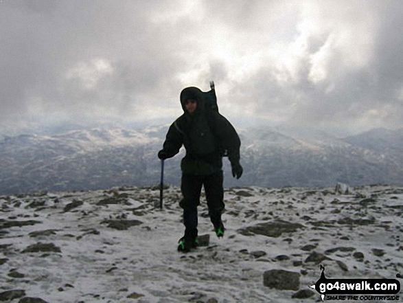
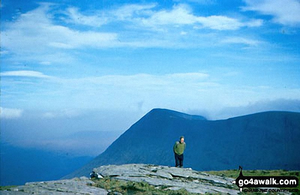
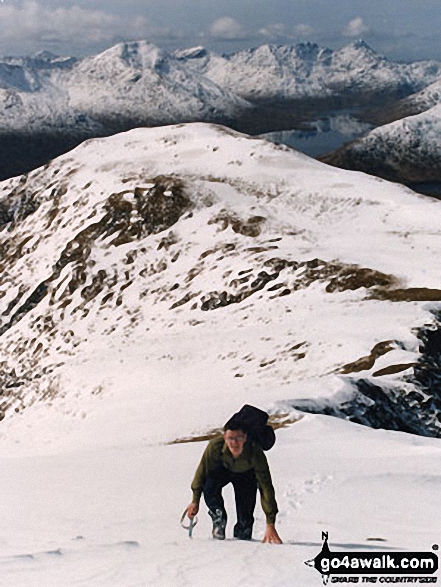
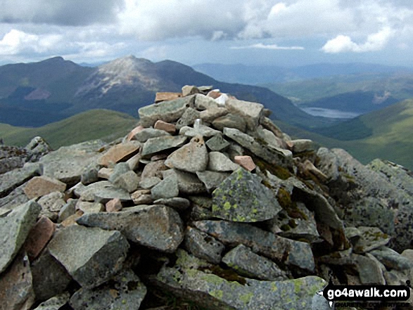
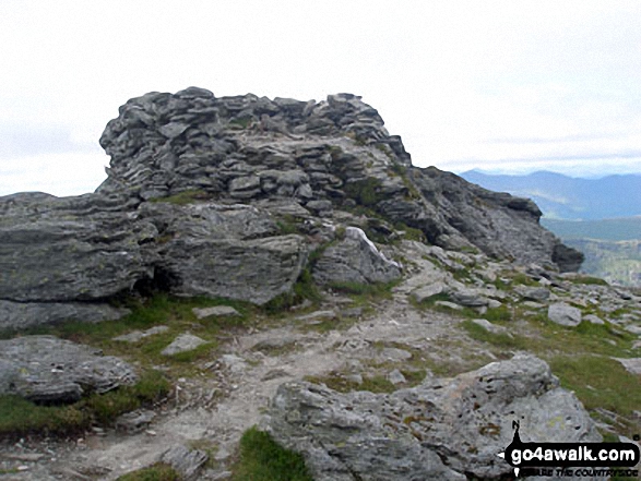
 The summit of Ben Nevis in The Achnashellach and Torridon HillsScotland
Photo: John Reed
Is there a Mountain, Peak, Top or Hill missing from the above google map or list?
Let us know an we will add it to our database.

To contribute to go4awalk.com or to contact us about anything at all - see Talk To Us.
For help see Help.
go4awalk.com and go4awalk.co.uk are registered trademarks of TMDH Limited.
Copyright © 2000-2025 TMDH Limited. All rights reserved.
Copyright Terms & Conditions Privacy Statement
A - Z Walks Home Log On/Accounts Photo Gallery Walk Ideas and Collections Fell Facts Hill Skills Walking Questions and Answers Your Stories News Competitions Product Reviews/Gear Tests Walking Gear Guides Peaks and Mountains Peak Bagging Find New Walking Friends Camping GPS Waypoints for Walking Contents Walk Search Talk To Us go4awalk.com Help Free Example Walks Newsletter


