   |
Vital Statistics:
| Length: | 15mls (24km) |
| Ascent: | 1,831ft (558m) |
| Time: | 7¼hrs |
| Grade: |  |
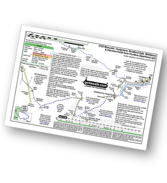
Route outline for walk d152:
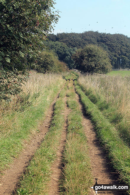
Hurdlow - Sparklow - The High Peak Trail - Hutmoor Butts - The Limestone Way - Monyash - One Ash Grange Farm - Calling Low Farm - Cales Dale - Moor Lane - Youlgreave - Lomberdale Hall - Middleton-by-Youlgreave - Rake Wood - Little Rookery Plantation - Kenslow Farm - Kenslow Knoll - Ringham Low (Friden) - Mere Farm - Green Lane (Friden) - The High Peak Trail - Sparklow - Hurdlow
Peaks, Summits and Tops reached on this walk:
 0 English Mountains |
 0 Wainwrights |
 0 English Nuttalls |
 0 English Deweys |
 0 Wainwright Outlying Fells |
 0 Marilyns |
 1 Bridget |
Peak Bagging Statistics for this walk:
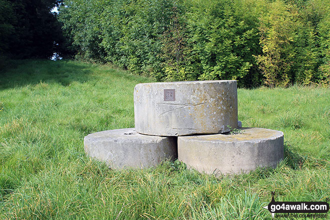
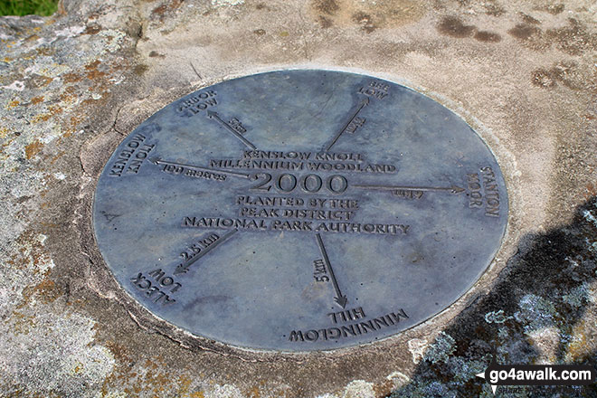
The highest point of this walk is Kenslow Knoll at 337m (1106ft). Kenslow Knoll is known as an English Bridget.
National Trails & Long Paths included on this walk:
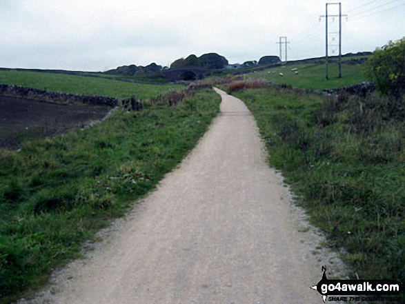
Part of this walk follows a section of The High Peak Trail, a 29km (18 miles) linear footpath connecting Dowlow in Derbyshire, England with Cromford in Derbyshire, England. It follows a lengthy section of the Cromford and High Peak Railway which linked the High Peak & Cromford Canals. Started in 1825, the line was finally closed in 1963. The High Peak Trail is waymarked by named posts. For more walks that include a section of this trail see The High Peak Trail.
Part of this walk also follows a section of The Limestone Way, an 80km (50 miles) linear footpath connecting Castleton in Derbyshire, England with Rocester in Staffordshire, England. The Limestone Way is waymarked by a Derby ram. For more walks that include a section of this trail see The Limestone Way.
You can find this walk and other nearby walks on these unique free-to-access Interactive Walk Planning Maps:
1:25,000 scale OS Explorer Map (orange/yellow covers):
1:50,000 scale OS Landranger Map (pink/magenta covers):
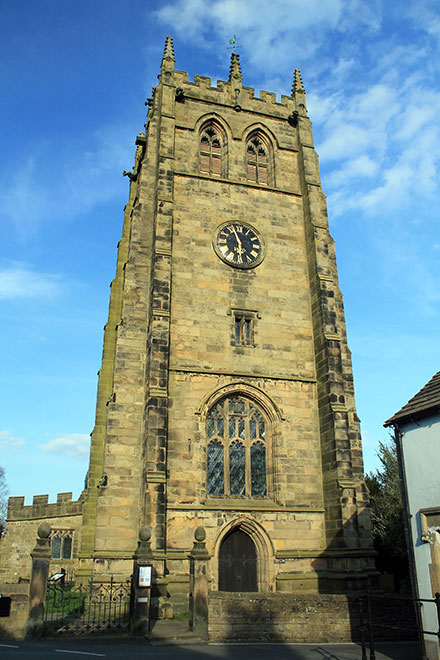
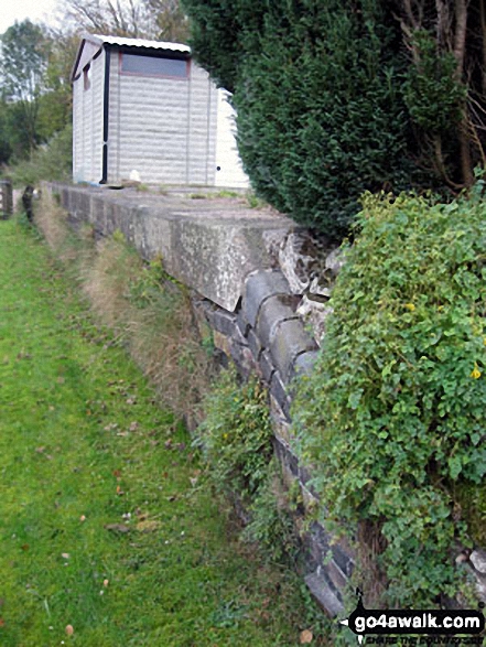
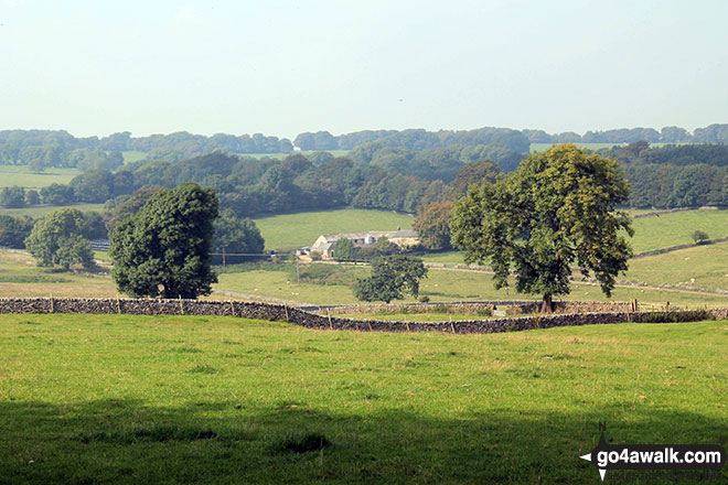
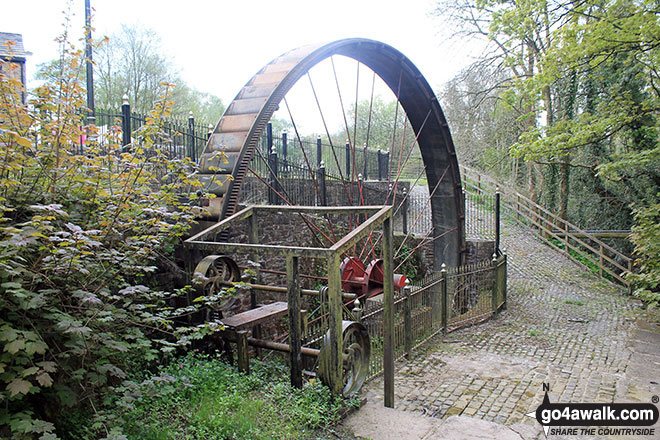
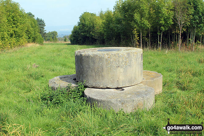
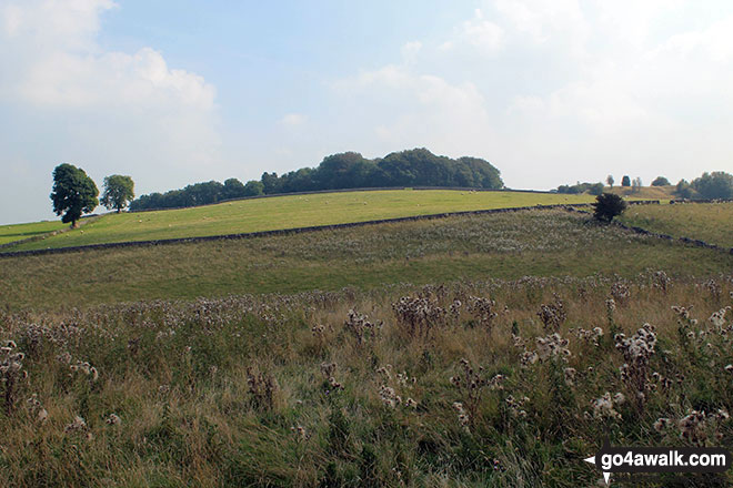
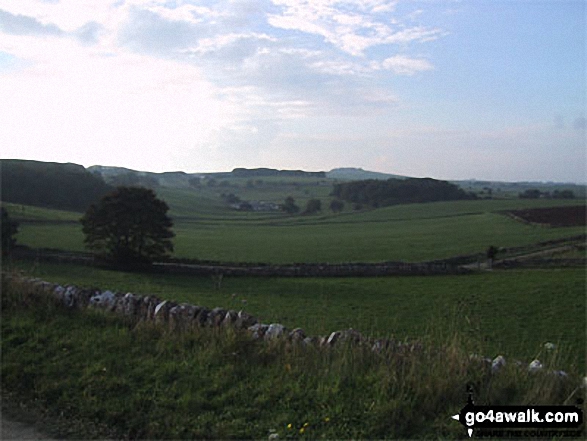
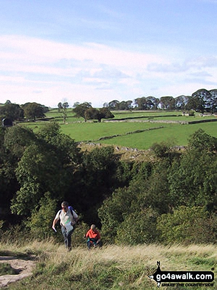
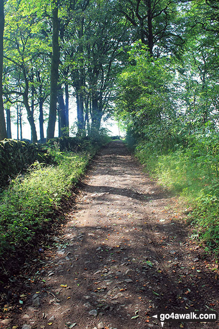
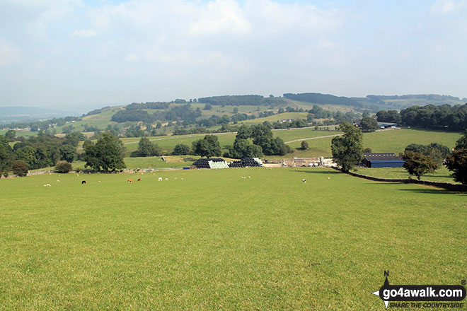
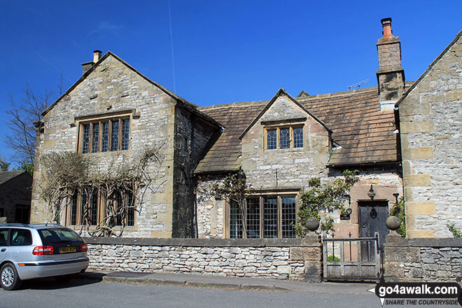
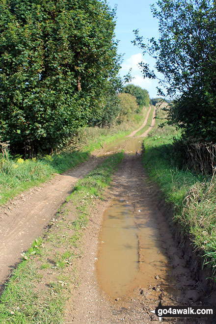
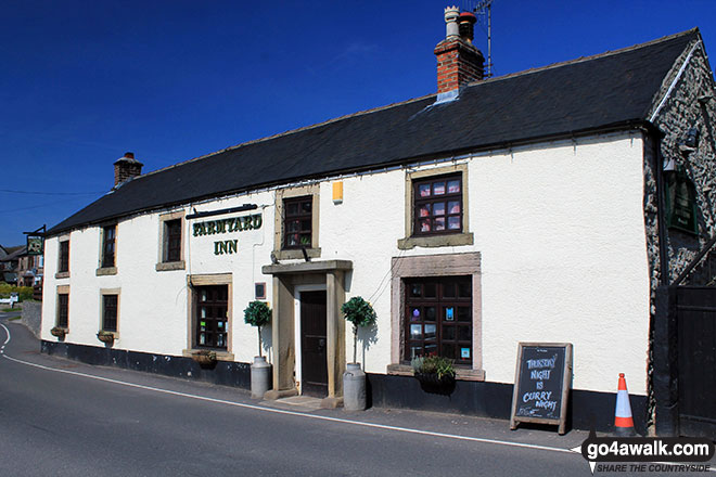
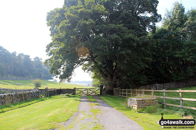
Some Photos and Pictures from Walk d152 Monyash, Youlgreave, Bradford Dale, Middleton-by-Youlgreave and Kenslow Knoll from Sparklow, Hurdlow
In no particular order . . .
Send us your photographs and pictures from your walks and hikes
We would love to see your photographs and pictures from walk d152 Monyash, Youlgreave, Bradford Dale, Middleton-by-Youlgreave and Kenslow Knoll from Sparklow, Hurdlow. Send them in to us as email attachments (configured for any computer) along with your name and where the picture was taken to:
and we shall do our best to publish them.
(Guide Resolution = 300dpi. At least = 660 pixels (wide) x 440 pixels (high).)

You can also submit photos from walk d152 Monyash, Youlgreave, Bradford Dale, Middleton-by-Youlgreave and Kenslow Knoll from Sparklow, Hurdlow via our Facebook Page.
NB. Please indicate where each photo was taken.


