   |
Vital Statistics:
| Length: | 9½mls (15km) |
| Ascent: | 1,696ft (517m) |
| Time: | 5¼hrs |
| Grade: |  |
Route outline for walk d103:
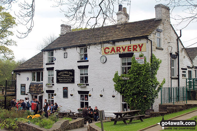
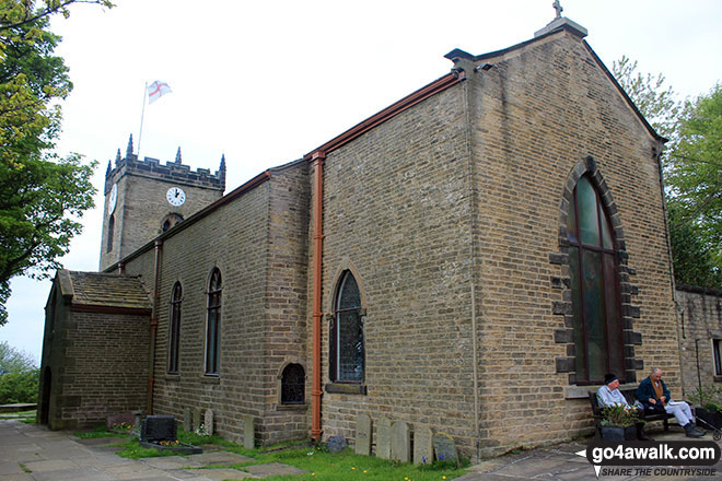
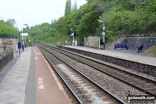
Strines Station - Lower Cliffe Cottage - Higher Banks Cottage - Cobden Edge - Mellor Moor - Mellor - Mellor Church - Hilltop Farm - Shiloh Hall Farm - Ringstones Farm - Ayton Farm - Rowarth - Thornsett Fields Farm - New Mills - Whitle - Brook Bottom - The Goyt Way - The Midshires Way - Strines Station
Peaks, Summits and Tops reached on this walk:
 0 English Mountains |
 0 Wainwrights |
 0 English Nuttalls |
 0 English Deweys |
 0 Wainwright Outlying Fells |
 0 Marilyns |
 1 Bridget |
Peak Bagging Statistics for this walk:
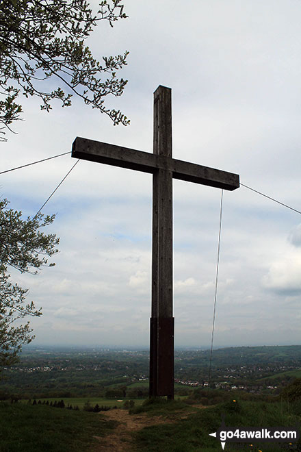
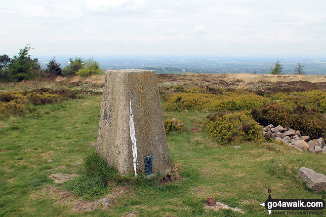
The highest point of this walk is Cobden Edge at 327m (1073ft). Cobden Edge is known as an English Bridget. The summit of Cobden Edge is marked by an Ordnance Survey Trig Point.
National Trails & Long Paths included on this walk:
Part of this walk follows a section of The Goyt Way, a 16km (10 miles) linear footpath connecting Whaley Bridge in Derbyshire, with Etherow Country Park, Compstall in Derbyshire, England. The Goyt Way is waymarked by Blue GW in an arrow. For more walks that include a section of this trail see The Goyt Way.
Part of this walk also follows a section of The Midshires Way, a 362km (225 miles) linear footpath connecting Hampton Wainhill near Bledlow in Buckinghamshire, England with Stockport in Greater Manchester, England. The Midshires Way is waymarked by named posts. For more walks that include a section of this trail see The Midshires Way.
You can find this walk and other nearby walks on these unique free-to-access Interactive Walk Planning Maps:
1:25,000 scale OS Explorer Map (orange/yellow covers):
1:50,000 scale OS Landranger Maps (pink/magenta covers):
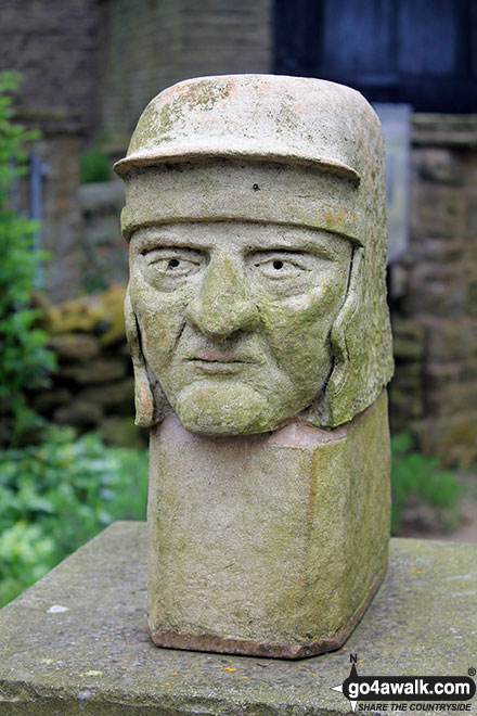
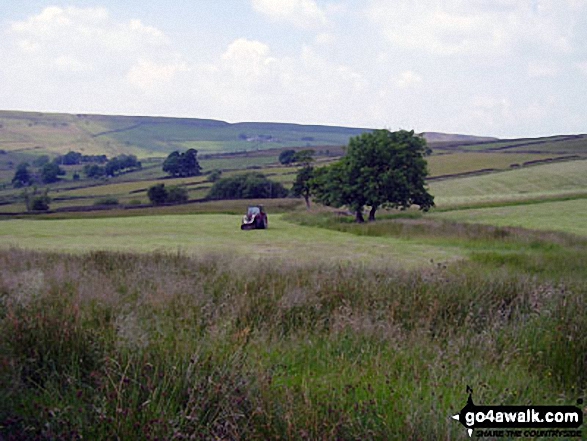
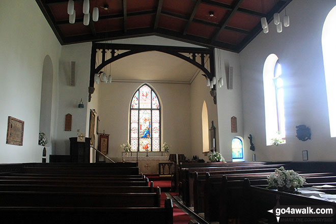
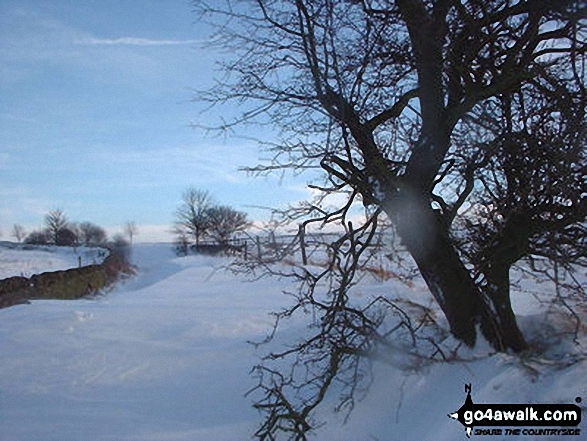
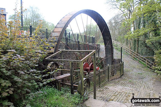
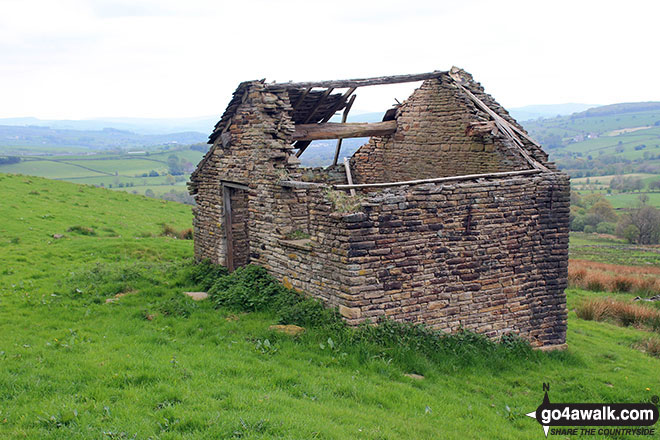
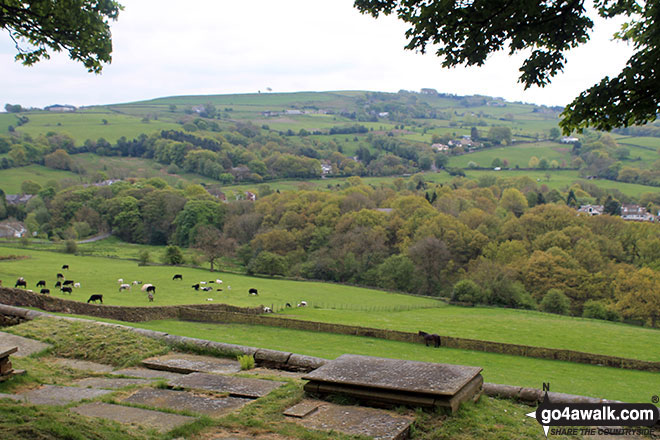
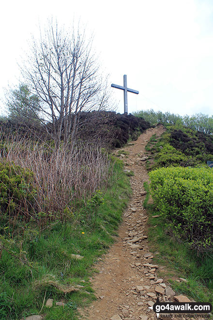
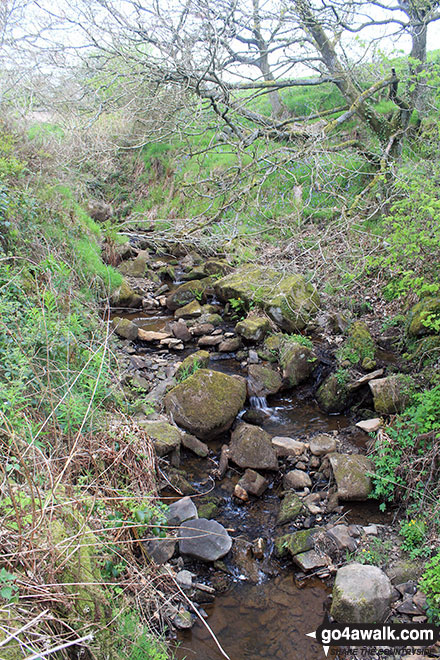
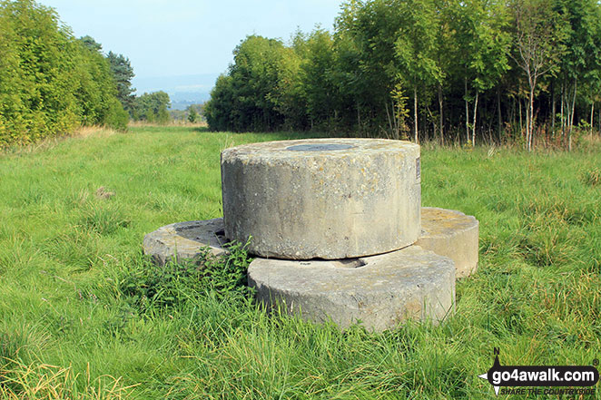
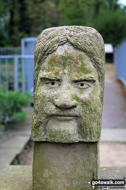
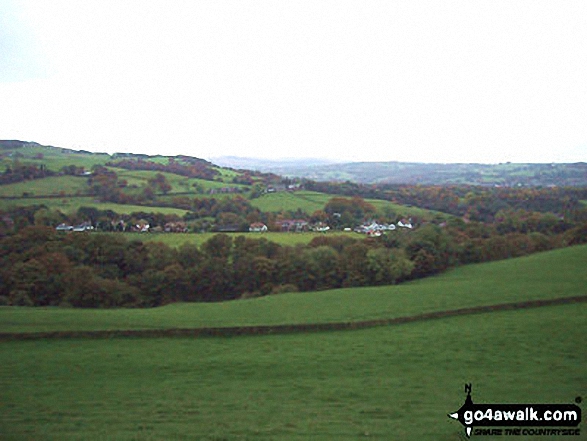
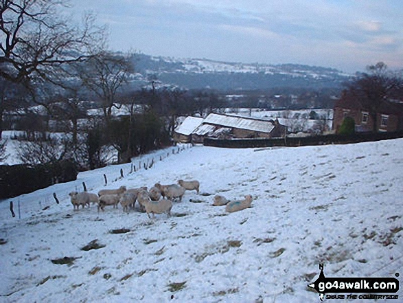
Some Photos and Pictures from Walk d103 Cobden Edge, Mellor, Rowarth and Brook Bottom from Strines
In no particular order . . .


. . . load all 30 walk photos from Walk d103 Cobden Edge, Mellor, Rowarth and Brook Bottom from Strines
Send us your photographs and pictures from your walks and hikes
We would love to see your photographs and pictures from walk d103 Cobden Edge, Mellor, Rowarth and Brook Bottom from Strines. Send them in to us as email attachments (configured for any computer) along with your name and where the picture was taken to:
and we shall do our best to publish them.
(Guide Resolution = 300dpi. At least = 660 pixels (wide) x 440 pixels (high).)

You can also submit photos from walk d103 Cobden Edge, Mellor, Rowarth and Brook Bottom from Strines via our Facebook Page.
NB. Please indicate where each photo was taken.


