
![]()
Cobden Edge
327m (1073ft)
Derbyshire, England
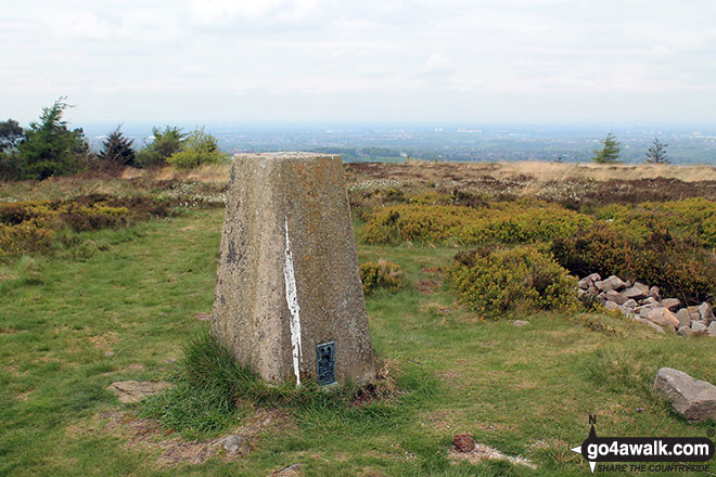
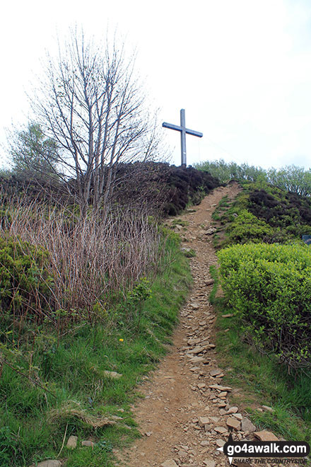
The summit of Cobden Edge is marked by an Ordnance Survey Trig Point.
Not familiar with this top?
   |
|---|
Vital Statistics:
| Length: | 9.5ml (15km) |
|---|---|
| Ascent: | 1,696ft (517m) |
| Time: | 5.25hrs |
| Grade: |  (Moderate) (Moderate) |
Route Summary:
Strines Station - Lower Cliffe Cottage - Higher Banks Cottage - Cobden Edge - Mellor Moor - Mellor - Mellor Church - Hilltop Farm - Shiloh Hall Farm - Ringstones Farm - Ayton Farm - Rowarth - Thornsett Fields Farm - New Mills - Whitle - Brook Bottom - The Goyt Way - The Midshires Way - Strines Station
You can find Cobden Edge & all the walks that climb it on these unique free-to-access Interactive Walk Planning Maps:
1:25,000 scale OS Explorer Map (orange/yellow covers):
1:50,000 scale OS Landranger Map (pink/magenta covers):
 Fellow go4awalkers who have already walked, climbed, summited & bagged Cobden Edge
Dave Gay walked up Cobden Edge on March 7th, 2021 [from/via/route] Parked at junction of Bogguard Road & Mellor Road....Route; followed Bogguard road to near summit, access via small gate on Black Lane. Returned via Black Lane, Primrose Lane & Pole Lane. [with] Lotty
Geoffrey Robertshaw climbed Cobden Edge on December 25th, 2010 [from/via/route] Up from car park [weather] Great - Great Views at the top
Mark Davidson bagged Cobden Edge on February 28th, 2014 [from/via/route] Walk d103 Cobden Edge, Mellor, Rowarth & Brook Bottom from Strines [with] T [weather] Bit cloudy & miserable but it stayed dry
To add (or remove) your name and experiences on this page - Log On and edit your Personal Mountain Bagging Record
More Photographs & Pictures of views from, on or of Cobden Edge
Send us your photographs and pictures on, of, or from Cobden Edge
If you would like to add your walk photographs and pictures featuring views from, on or of Cobden Edge to this page, please send them as email attachments (configured for any computer) along with your name to:
and we shall do our best to publish them.
(Guide Resolution = 300dpi. At least = 660pixels (wide) x 440 pixels (high).)

You can also submit photos via our Facebook Page.
NB. Please indicate where each photo was taken and whether you wish us to credit your photos with a Username or your First Name/Last Name.
Not familiar with this top?


