   |
Vital Statistics:
| Length: | 11¼mls (18km) |
| Ascent: | 2,629ft (801m) |
| Time: | 6¾hrs |
| Grade: |  |
Route outline for walk c355:
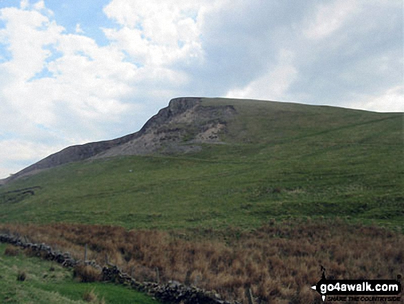
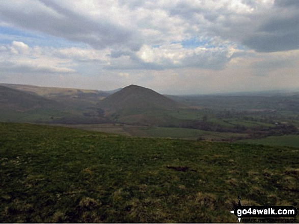
Dufton - The Pennine Way - Coatsyke Farm (Coatsike Farm) - Halsteads - Great Rundale Beck - Cosca Hill - Swindale Beck - Knock Old Man - Knock Fell - Green Castle - Knock Ore Gill - Knock Pike - Swindale Beck - Knock Village - Knock Church - Dufton
Peaks, Summits and Tops reached on this walk:
 1 English Mountain |
 0 Wainwrights |
 1 English Nuttall |
 0 English Deweys |
 0 Wainwright Outlying Fells |
 0 Marilyns |
 0 Bridgets |
Peak Bagging Statistics for this walk:
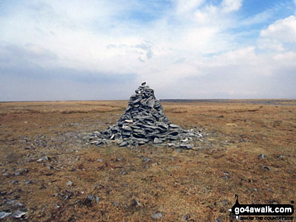
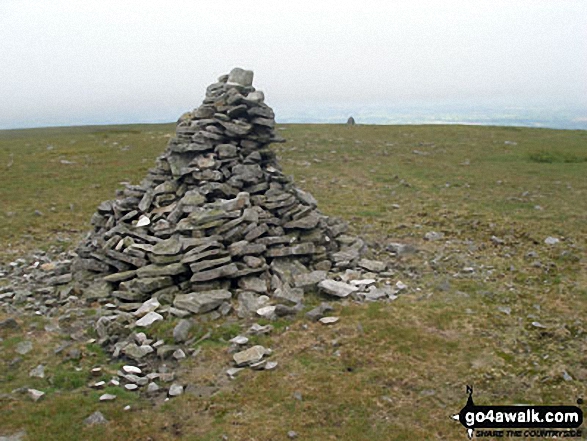
The highest point of this walk is Knock Fell at 794m (2606ft). Knock Fell is classified as an English Mountain (Hewitt) (45th highest in England, 83rd highest in England & Wales)
Knock Fell is also known as an English Nuttall (54th highest in England, 101st highest in England & Wales). The summit of Knock Fell is marked by a cairn.
National Trails & Long Paths included on this walk:
Part of this walk follows a section of The Pennine Way, a 404km (251 miles) linear footpath connecting Edale in Derbyshire, England with Kirk Yetholm in The Borders, Scotland. The Pennine Way is waymarked by a National Trail Acorn. For more walks that include a section of this trail see The Pennine Way.
You can find this walk and other nearby walks on these unique free-to-access Interactive Walk Planning Maps:
1:25,000 scale OS Explorer Maps (orange/yellow covers):
1:50,000 scale OS Landranger Map (pink/magenta covers):
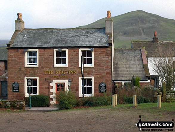
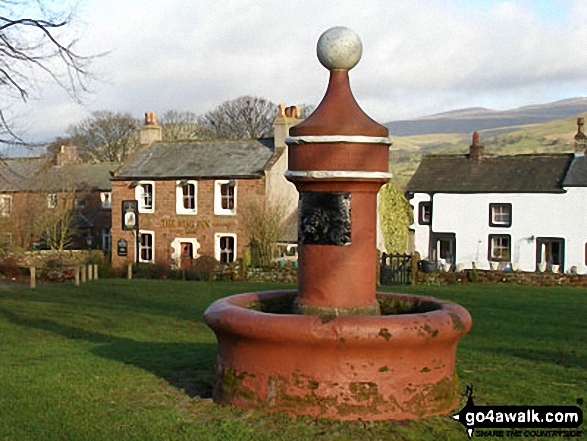
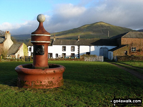
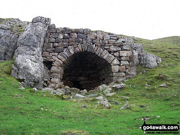
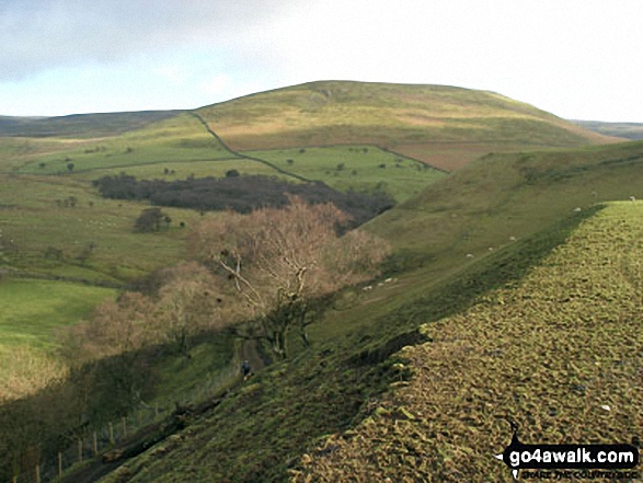
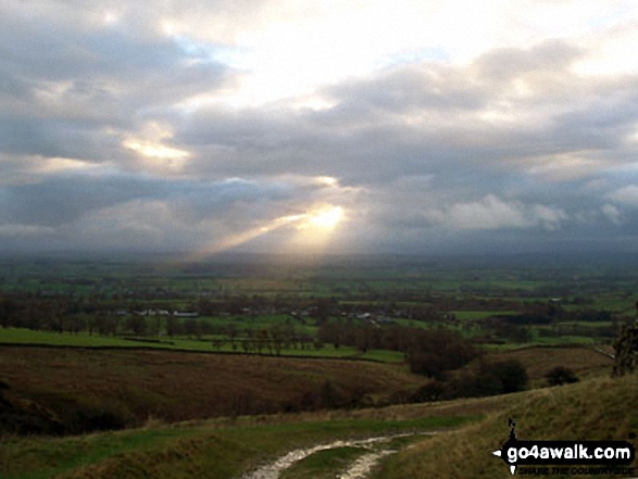
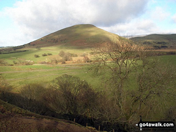
Some Photos and Pictures from Walk c355 Knock Fell and Knock Pike from Dufton
In no particular order . . .
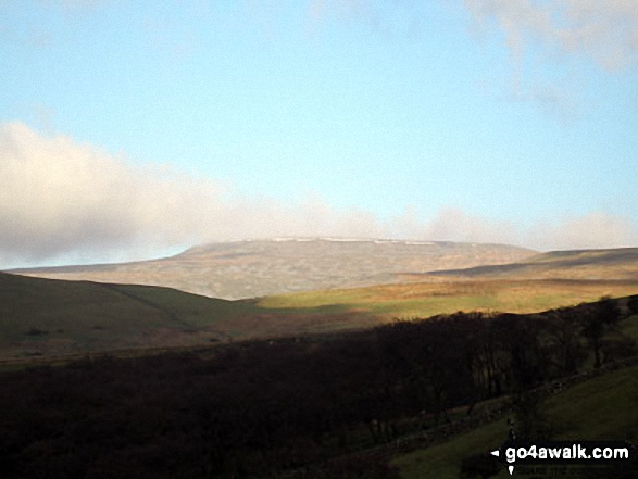

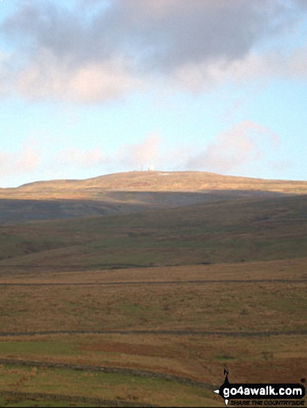
The Tracking Station on Great Dun Fell from The Pennine Way at Great Rundale Beck
. . . load all 22 walk photos from Walk c355 Knock Fell and Knock Pike from Dufton
Send us your photographs and pictures from your walks and hikes
We would love to see your photographs and pictures from walk c355 Knock Fell and Knock Pike from Dufton. Send them in to us as email attachments (configured for any computer) along with your name and where the picture was taken to:
and we shall do our best to publish them.
(Guide Resolution = 300dpi. At least = 660 pixels (wide) x 440 pixels (high).)

You can also submit photos from walk c355 Knock Fell and Knock Pike from Dufton via our Facebook Page.
NB. Please indicate where each photo was taken.


