   |
Vital Statistics:
| Length: | 7¼mls (11.5km) |
| Ascent: | 3,116ft (950m) |
| Time: | 5¾hrs |
| Grade: |  |
Route outline for walk c315:
Old Sawmill Tearooms - Longside Wood - The Allerdale Ramble - Ling How - The Edge - Ullock Pike - Longside Edge - Long Side - Carl Side - White Stones - Skill Beck - Dodd (Skiddaw) - Dodd Wood - Old Sawmill Tearooms
Peaks, Summits and Tops reached on this walk:
 1 English Mountain |
 4 Wainwrights |
 2 English Nuttalls |
 1 English Dewey |
 0 Wainwright Outlying Fells |
 0 Marilyns |
 0 Bridgets |
Peak Bagging Statistics for this walk:
The highest point of this walk is Carl Side at 746m (2448ft). Carl Side is classified as an Wainwright (No. 64).
Carl Side is also known as an English Nuttall (87th highest in England, 152nd highest in England & Wales).
Completing this walk will also take you to the top of Long Side at 734m (2409ft). Long Side is classified as an English Mountain (Hewitt) (79th highest in England, 136th highest in England & Wales) and a Wainwright (No. 71).
Long Side is also known as an English Nuttall (98th highest in England, 168th highest in England & Wales).
You will also reach the summit of Ullock Pike at 690m (2265ft). Ullock Pike is classified as an Wainwright (No. 96).
Along the way you will also bag:
- Dodd (Skiddaw) at 502m (1647ft). Dodd (Skiddaw) is classified as a Wainwright (No. 174) and an English Dewey (175th highest in England, 408th highest in England & Wales)
National Trails & Long Paths included on this walk:
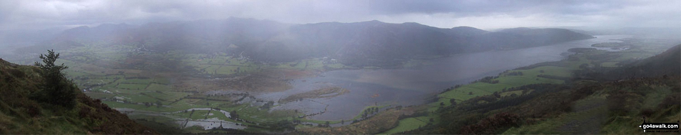
Part of this walk follows a section of The Allerdale Ramble, an 87km (54 miles) linear footpath connecting Seathwaite in Cumbria, with Grune Point in Cumbria, England. The Allerdale Ramble is waymarked by named posts. For more walks that include a section of this trail see The Allerdale Ramble.
You can find more walks near this one on these unique free-to-access Interactive Walk Planning Maps: (click/TAP to select)
1:25,000 scale OS Explorer Map (the ones with orange/yellow covers):
1:50,000 scale OS Landranger Maps (the ones with pink/magenta covers):
Some Photos and Pictures from Walk c315 Carl Side and Dodd (Skiddaw) from Dodd Wood
In no particular order . . .
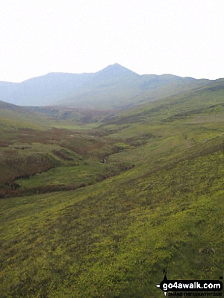
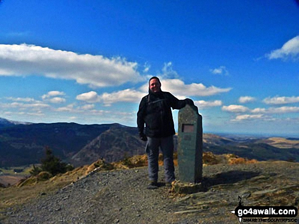
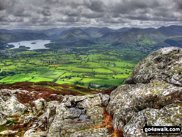
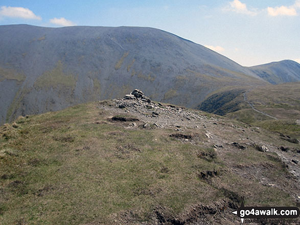
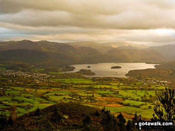
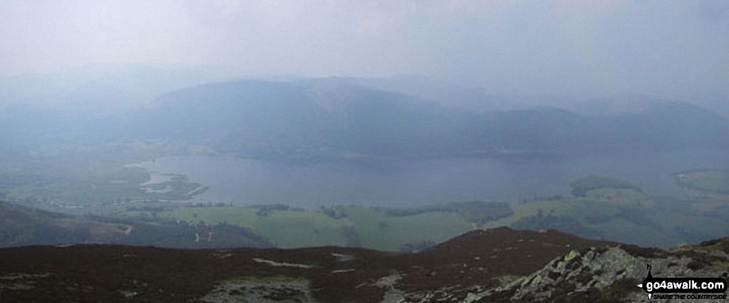
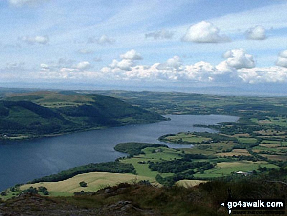
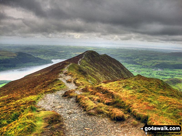
The Newlands Fells and Bassenthwaite Lake from Ullock Pike summit cairn
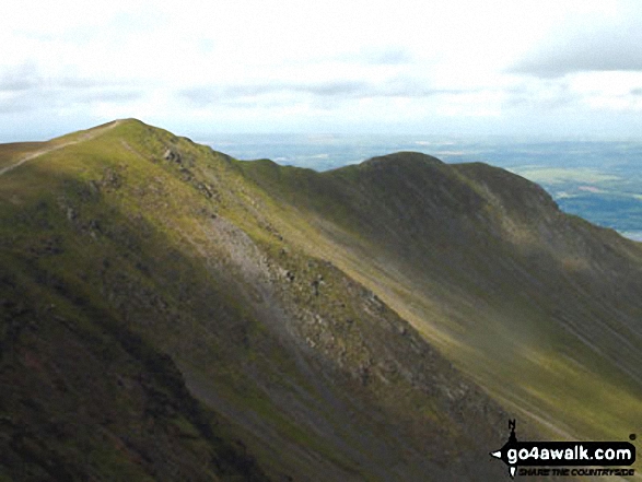
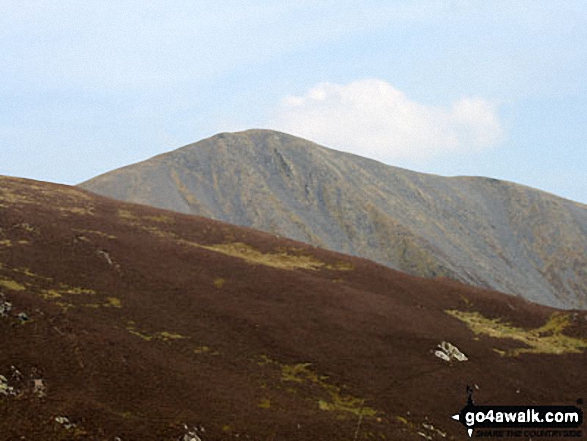
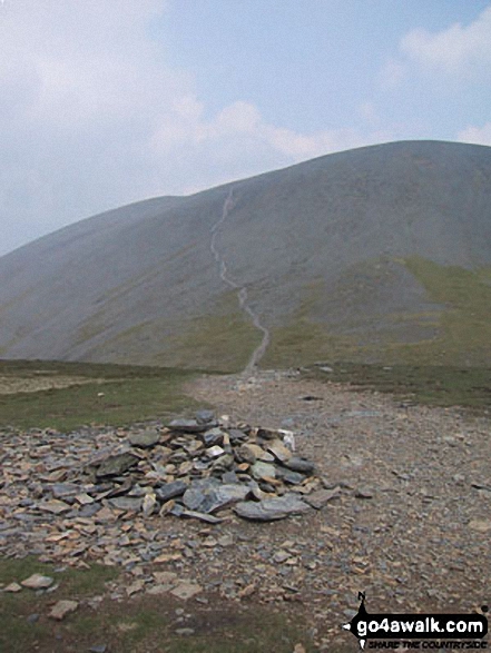
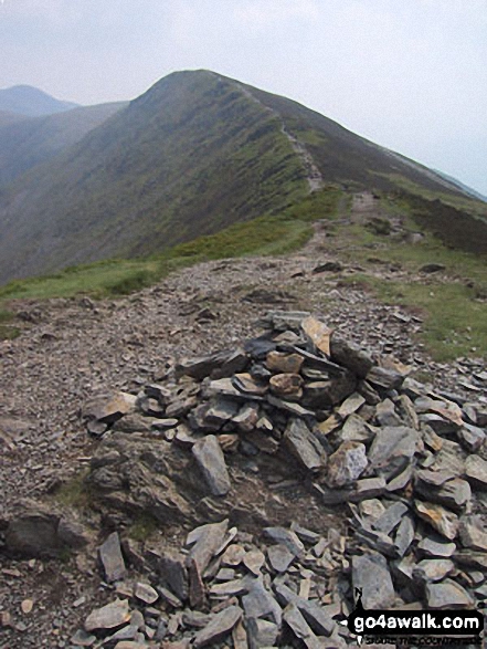
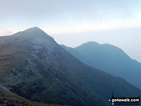
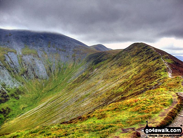
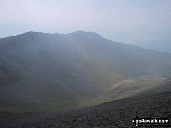
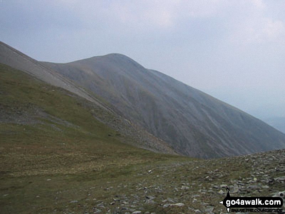
The Shoulder of Skiddaw (left) and Longside Edge from Ullock Pike with Little Man (Skiddaw) in the distance
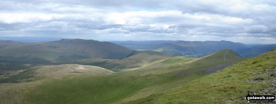
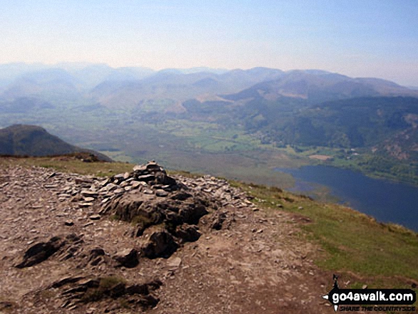
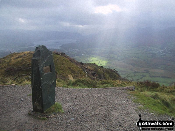
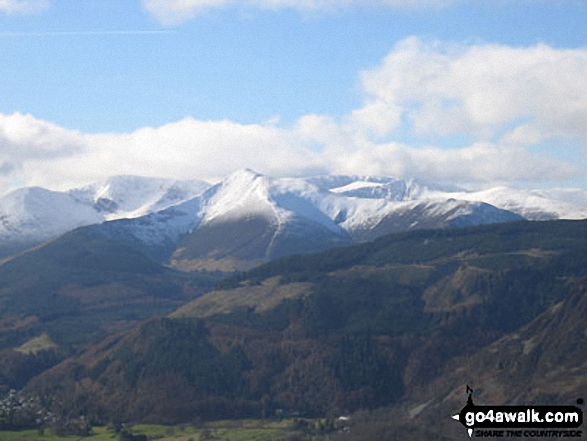
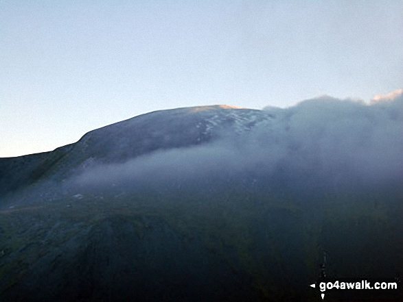
*Southeastern panorama from the summit of Skiddaw with Blencathra and Blease Fell silhouetted left of centre
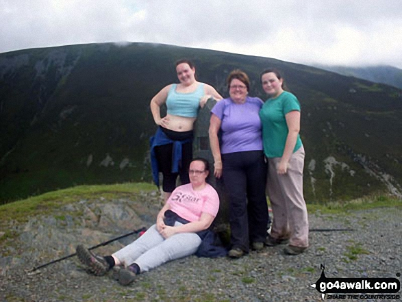
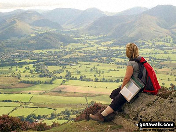
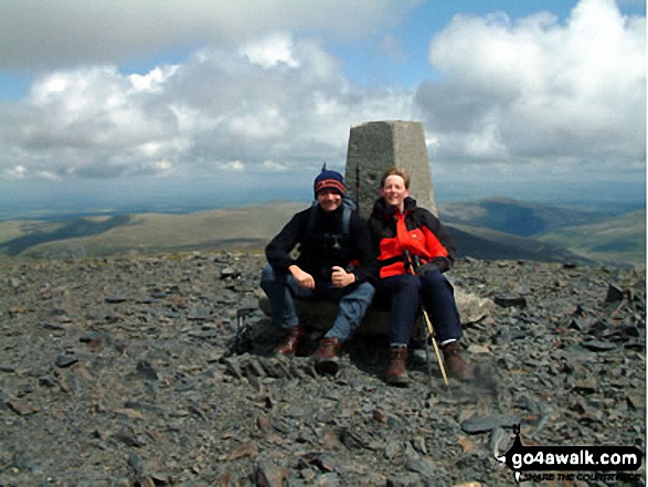
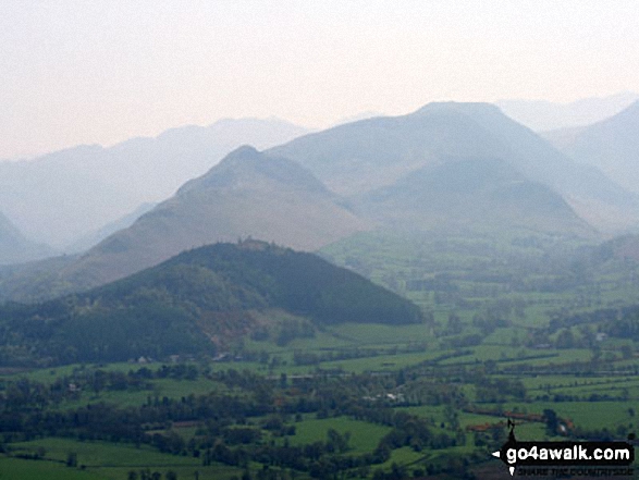
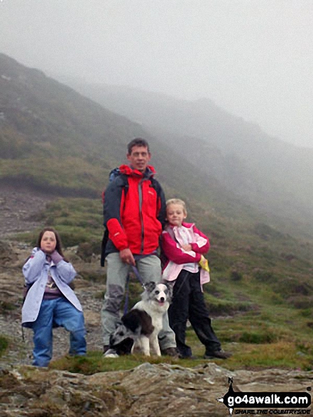
Family on top of Dodd (Skiddaw) with Ullock Pike, Longside Edge and Carl Side behind
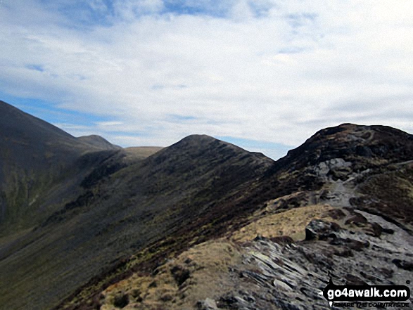
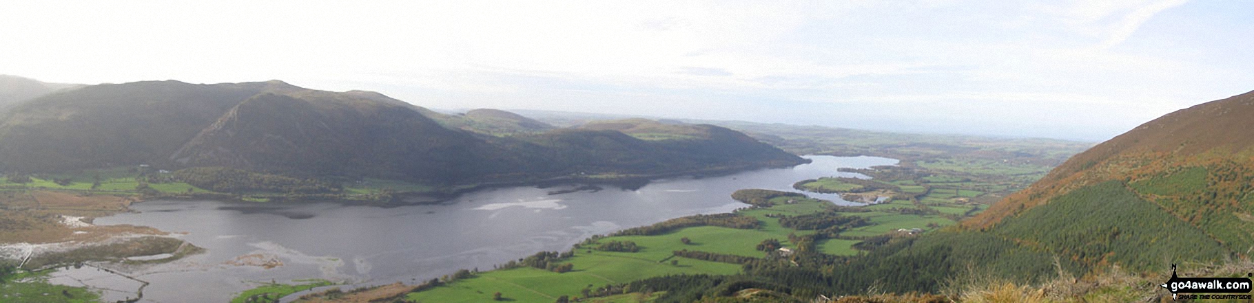
Crag Hill (left), Grisedale Pike (centre), Hopegill Head and Ladyside Pike from Longside Edge
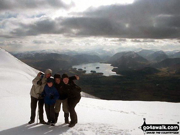
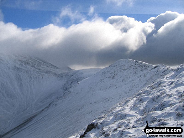
Myself, two of my sons, Matt and Richard, and my friend Gary between Skiddaw and Skiddaw Little Man on a bitter cold winters day!
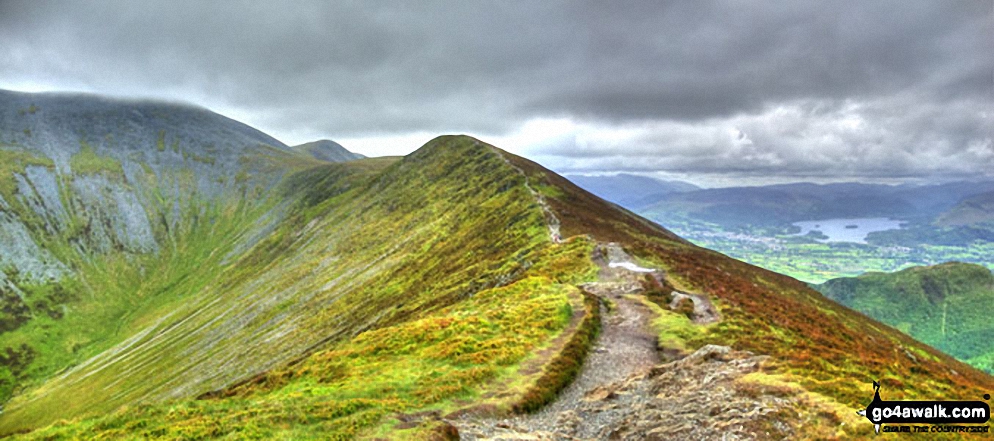
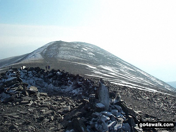
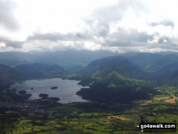
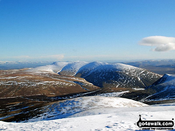
Skiddaw, Skiddaw (Little Man), Carl Side (left), Long Side, Longside Edge, Derwent Water and Dodd (Skiddaw) and the upper reaches of Southerndale from Ullock Pike
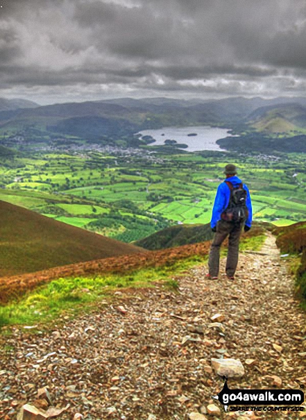
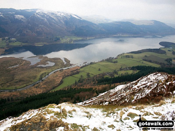
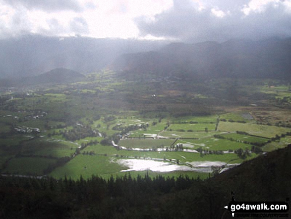
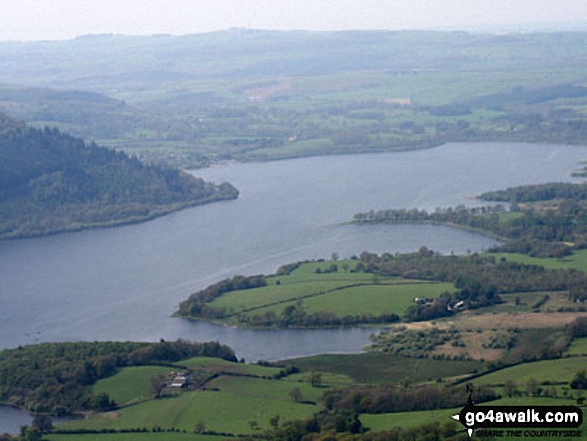
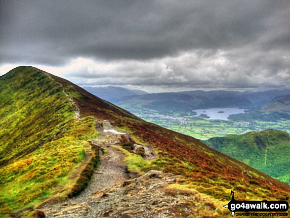
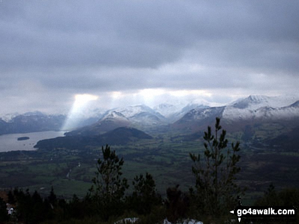
Descending Carl Side towards the White Stones with a fine view of Derwent water
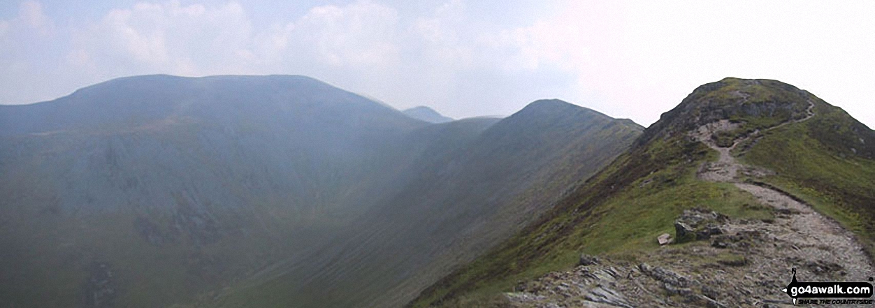
*Skiddaw, Little Man (Skiddaw), Carl Side, Longside Edge and Ullock Pike from The Edge
Skiddaw, Skiddaw (Little Man), Carl Side, Long Side, Longside Edge and the upper reaches of Southerndale from Ullock Pike
Carl Side (left), Long Side, Longside Edge, Derwent Water and Dodd (Skiddaw) from Ullock Pike
Longside Edge, Long Side and Ullock Pike summit with Bassenthwaite Lake beyond from Carl Side
A snow capped Blencathra or Saddleback (Hallsfell Top) viewed from the summit of Skiddaw
Send us your photographs and pictures from your walks and hikes
We would love to see your photographs and pictures from walk c315 Carl Side and Dodd (Skiddaw) from Dodd Wood. Send them in to us as email attachments (configured for any computer) along with your name and where the picture was taken to:
and we shall do our best to publish them.
(Guide Resolution = 300dpi. At least = 660 pixels (wide) x 440 pixels (high).)

You can also submit photos from walk c315 Carl Side and Dodd (Skiddaw) from Dodd Wood via our Facebook Page.
NB. Please indicate where each photo was taken.

To contribute to go4awalk.com or to contact us about anything at all - see Talk To Us. For help see Help.
go4awalk.com and go4awalk.co.uk are registered trademarks of TMDH Limited.
Copyright © 2000-2025 TMDH Limited. All rights reserved.
Copyright Terms & Conditions Privacy Statement
A - Z Walks Home Log On/Accounts Photo Gallery Walk Ideas and Collections Fell Facts Hill Skills Walking Questions and Answers Your Stories News Competitions Product Reviews/Gear Tests Walking Gear Guides Peaks and Mountains Peak Bagging Find New Walking Friends Camping GPS Waypoints for Walking Contents Walk Search Talk To Us go4awalk.com Help Free Example Walks Newsletter


