   |
Vital Statistics:
| Length: | 8½mls (13.5km) |
| Ascent: | 2,181ft (665m) |
| Time: | 5¼hrs |
| Grade: |  |
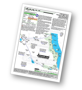
Route outline for walk c158:
Watendlath - High Tove - Cockrigg Crags - Thirlmere - Harrop Tarn - Blea Tarn (Watendlath Fell) - Brimming Knott - Robinbank Crag - Rough Knott - Watendlath
Peaks, Summits and Tops reached on this walk:
 0 English Mountains |
 1 Wainwright |
 0 English Nuttalls |
 0 English Deweys |
 0 Wainwright Outlying Fells |
 0 Marilyns |
 0 Bridgets |
Peak Bagging Statistics for this walk:
The highest point of this walk is High Tove at 515m (1690ft). High Tove is classified as an Wainwright (No. 167).
You can find this walk and other nearby walks on these unique free-to-access Interactive Walk Planning Maps:
1:25,000 scale OS Explorer Maps (orange/yellow covers):
1:50,000 scale OS Landranger Map (pink/magenta covers):
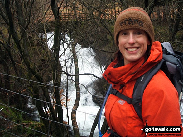
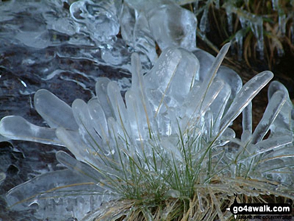
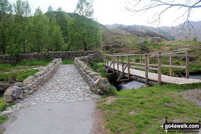
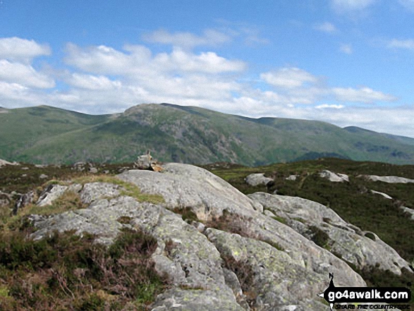
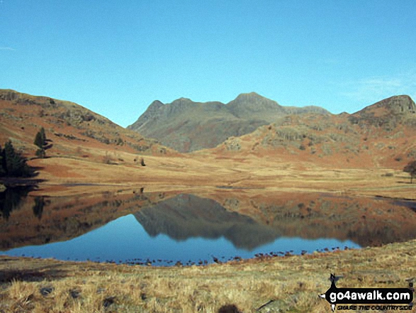
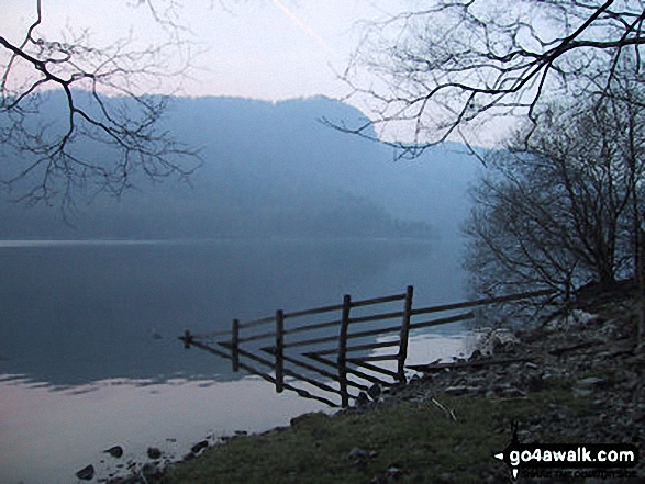
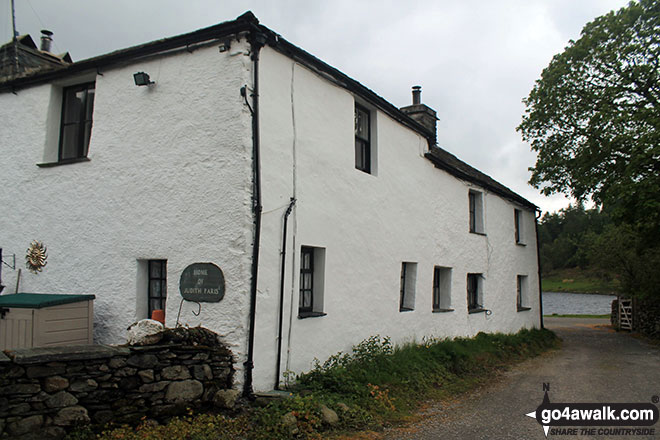
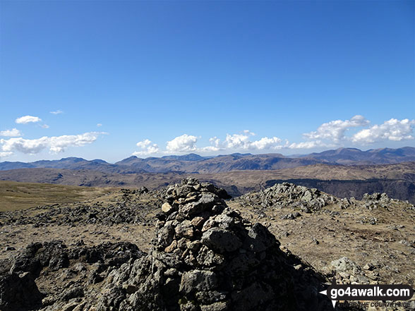
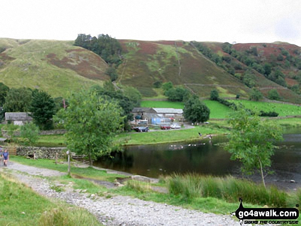
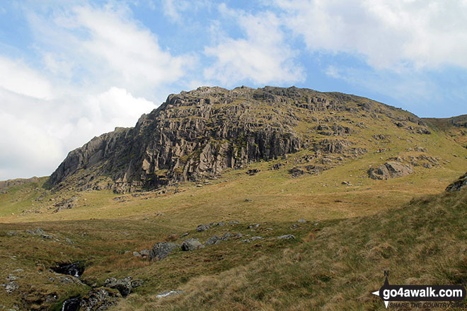
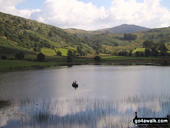
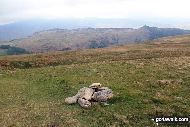
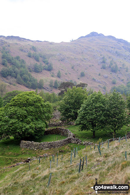
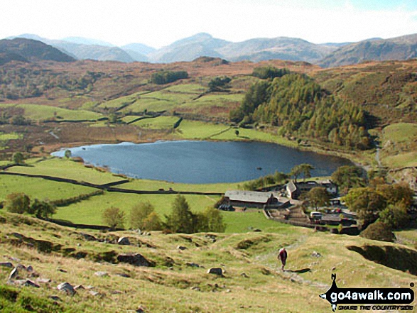
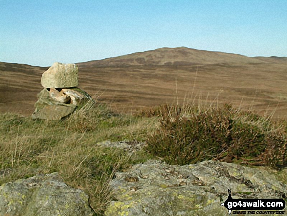
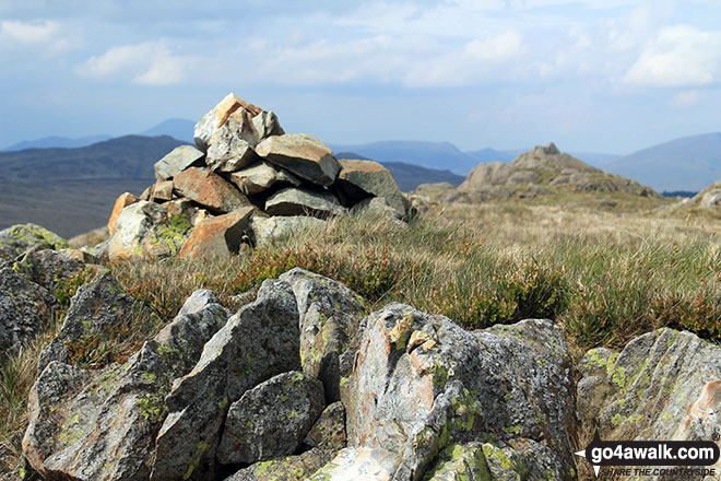
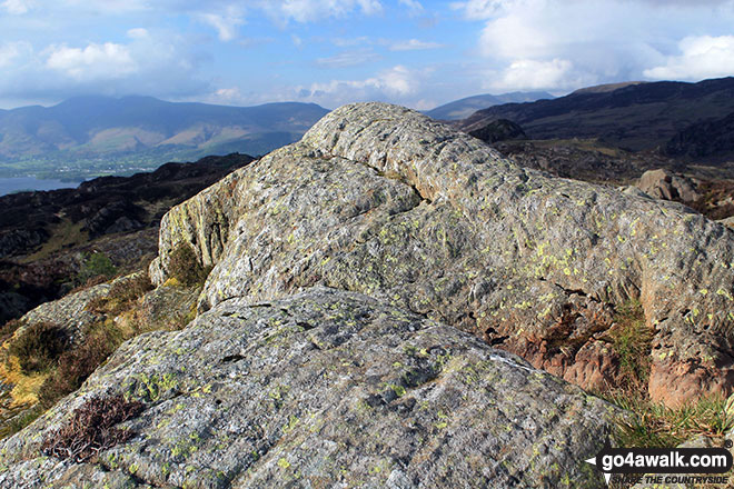
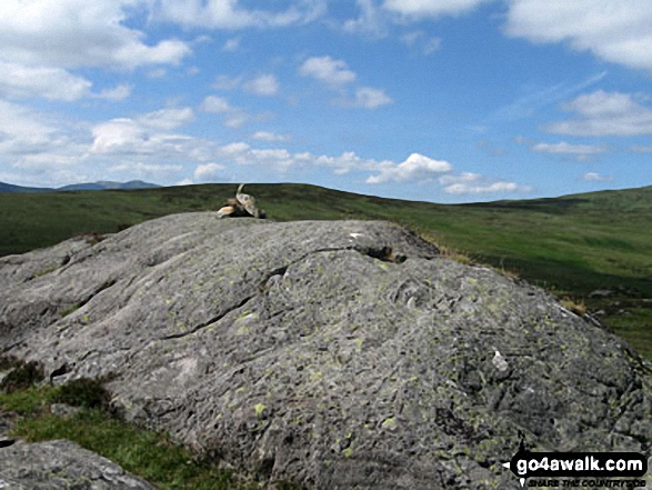
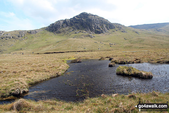
Some Photos and Pictures from Walk c158 High Tove, Thirlmere and Blea Tarn from Watendlath
In no particular order . . .
. . . load all 45 walk photos from Walk c158 High Tove, Thirlmere and Blea Tarn from Watendlath
Send us your photographs and pictures from your walks and hikes
We would love to see your photographs and pictures from walk c158 High Tove, Thirlmere and Blea Tarn from Watendlath. Send them in to us as email attachments (configured for any computer) along with your name and where the picture was taken to:
and we shall do our best to publish them.
(Guide Resolution = 300dpi. At least = 660 pixels (wide) x 440 pixels (high).)

You can also submit photos from walk c158 High Tove, Thirlmere and Blea Tarn from Watendlath via our Facebook Page.
NB. Please indicate where each photo was taken.


