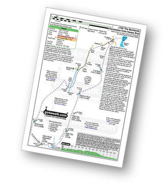
Route outline for walk c100:
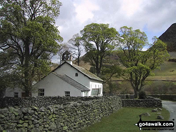
Hawes End - Derwent Water - Skelgill Bank - Woodford's Path - Cat Bells (Catbells) - Maiden Moor - High Spy (North Top) - High Spy - Dalehead Tarn - Dale Head (Newlands) - Hindscarth - High Crags - Scope End - Low Snab Farm - Newlands Church - Little Town - Newlands Valley - Hawes End - Derwent Water.
Peak Bagging Statistics for this walk:
![]() 3 English Mountains |
![]() 5 Wainwrights |
![]() 4 English Nuttalls |
![]() 0 English Deweys |
![]() 0 Wainwright Outlying Fells |
![]() 1 Marilyn |
![]() 0 Bridgets |
Peak Bagging Statistics for this walk:
The highest point of this walk is Dale Head (Newlands) at 753m (2471ft). Dale Head (Newlands) is classified as a English Mountain (Hewitt) (68th highest in England, 117th highest in England & Wales) and a Wainwright (No. 63). Dale Head (Newlands) is also known as a English Nuttall (84th highest in England, 144th highest in England & Wales). Dale Head (Newlands) is also classified as a English Marilyn (21st highest in England, 477th highest in the UK).
Completing this walk will also take you to the top of Hindscarth at 727m (2386ft). Hindscarth is classified as a English Mountain (Hewitt) (81st highest in England, 139th highest in England & Wales) and a Wainwright (No. 73). Hindscarth is also known as a English Nuttall (102nd highest in England, 173rd highest in England & Wales).
You will also reach the summit of High Spy at 653m (2143ft). High Spy is classified as a English Mountain (Hewitt) (141st highest in England, 243rd highest in England & Wales) and a Wainwright (No. 113). High Spy is also known as a English Nuttall (190th highest in England, 326th highest in England & Wales).
Along the way you will also bag High Spy (North Top) at 634m (2081ft). High Spy (North Top) is known as an English Nuttall (213th highest in England, 367th highest in England & Wales); Maiden Moor at 575m (1887ft). Maiden Moor is classified as a Wainwright (No. 138) ; Cat Bells (Catbells) at 451m (1480ft). Cat Bells (Catbells) is classified as a Wainwright (No. 189)
This walk is on Ordnance Survey Maps:
OS Explorer Map OL4 | |
1:25,000 scale (Orange Covers) |
|
OS Landranger Map 89 or 90 | |
1:50,000 scale (Pink Covers) |
Some Photos and Pictures from Walk c100 The Newlands Horseshoe from Hawes End
In no particular order . . .
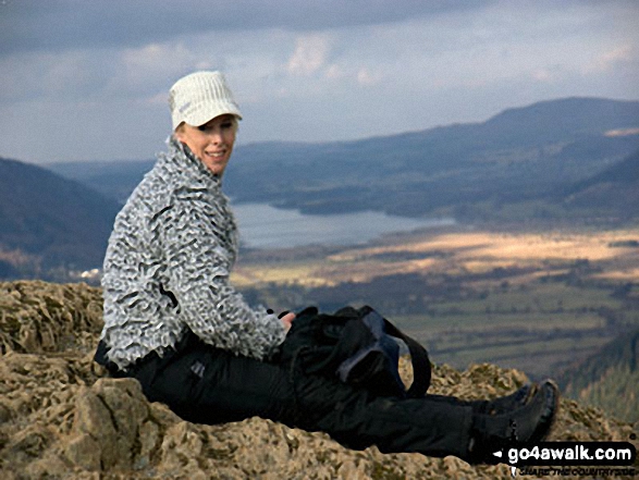
Looking out over Wenlock Edge on my first "proper" walk after major surgery in March

The beautiful village of Peyreleau, at the junction of Gorge du Tarn and Gorge de la Jonte

Ysgafell Wen (North Top) and Llynnau'r Cwn from Ysgafell Wen (Far North Top)

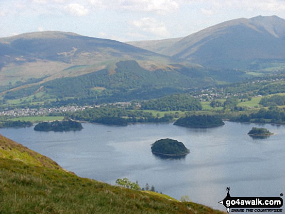
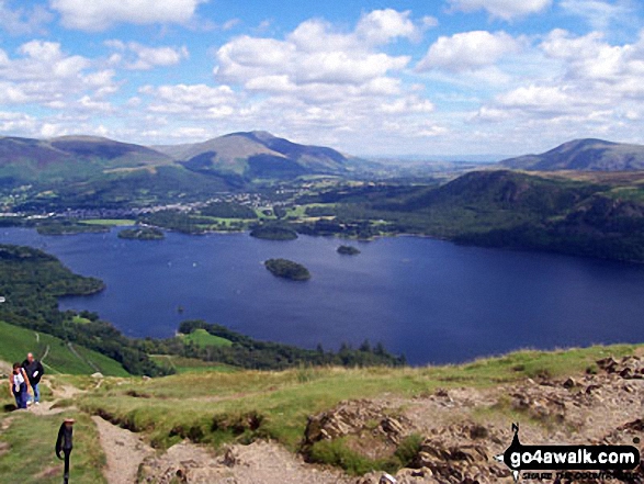
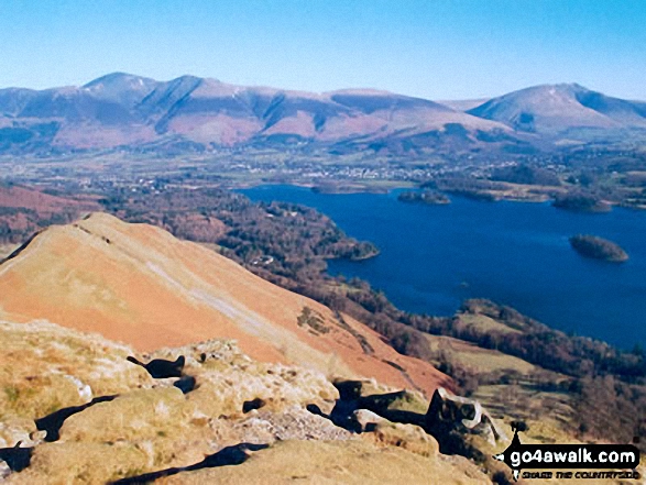
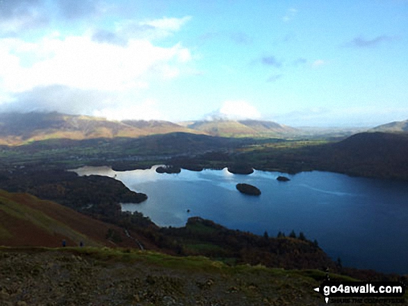
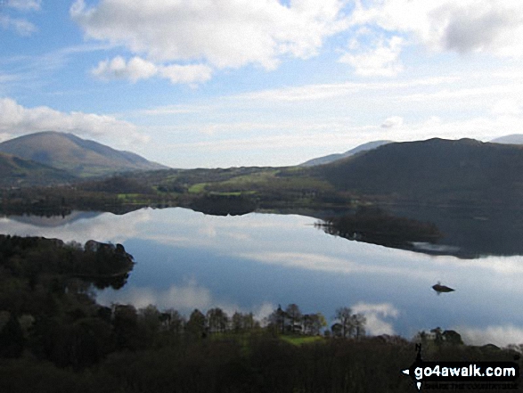
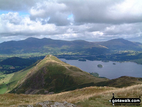
Derwent Water from Cat Bells (Catbells) with Latrigg (left) and Blencathra or Saddleback (right) beyond

The last rays on sunshine on The Langdale Pikes across a frozen Blea Tarn (Langdale)

Worms Head/Penrhyn-Gwyr from near the lookout station above Kitchen Corner, Rhossili Bay

On the way up Snowdon (Yr Wyddfa) on the PYG track with Cribau and Y Lliwedd prominent in the background

Lose Hill (Ward's Piece) and The Vale of Edale from the summit of Grindslow Knoll (Kinder Scout)

Looking east towards Loch Linnhe from the tourist path up Ben Nevis above Lochan Meall an t-Suidhe

Harley Dingle/New Radnor Firing Range Warning sign below Three Riggles with Black Mixen, Bache Hill and Whimble on the horizon, Radnor Forest

Wasdale Head featuring Yewbarrow (left), Great Gable (centre), Lingmell (right) and the lower slopes of Scafell Pike (right) from across Wast Water

Approaching Striding Edge and Helvellyn via Low Spying How and Bleaberry Crag

Cwm Llan and Yr Aran (right - in shadow) from Bwlch y Saethau on the upper slopes of Snowdon (Yr Wyddfa)

Dod Hill (Teviothead) and Linhope Burn from Linhope Farm
on the A7 between Carlisle and Hawick

Looking down Nant Ffrancon to Bethesda with Anglesey in the far distance from near Llyn Bochlwyd in the Ogwen valley

High Spy (North Top), High Spy, Maiden Moor, Hindscarth (left), Robinson, Crag Hill (Eel Crag), Causey Pike, Barrow (Newlands) (centre), Newlands, Bassenthwaite Lake, Swinside, Skiddaw, Derwent Water and Blencathra (right) beyond from Cat Bells (Catbells)

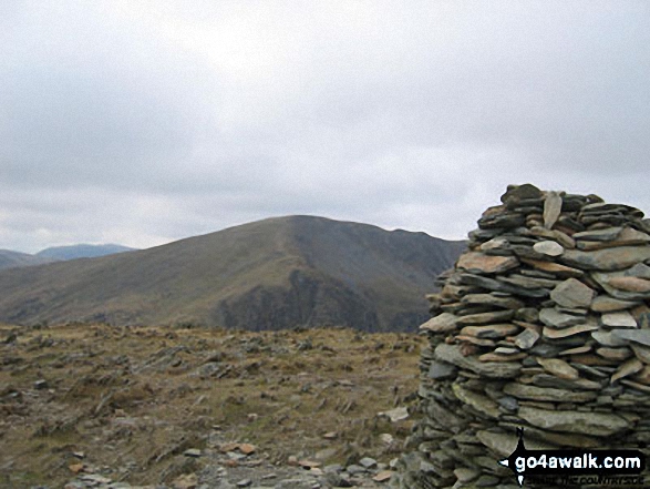
Robinson's Cairn with Pillar Rock beyond (left of the cairn and to right of the 'notch')

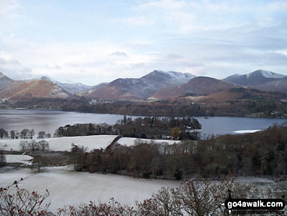
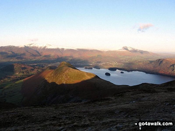
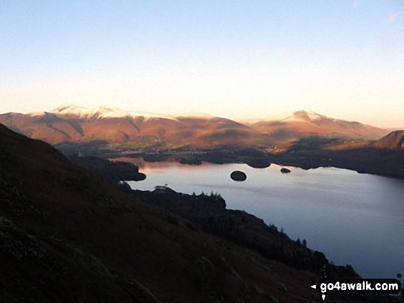
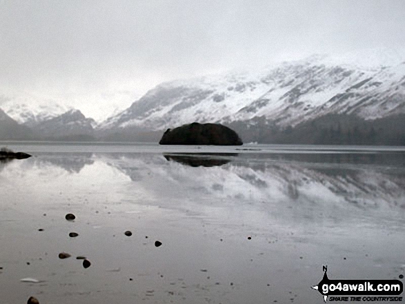
Snow on Derwent Water with Cat Bells (Catbells) (left) and Casuey Pike (centre) and Grisedale Pike (right)

Craig Cwm Cynwyn, Cribyn, Craig Cwm Sere, Pen y Fan and Corn Du from Fan y Big

Arnside Knott, Humphrey Head, Dixon Heights (Newton Fell) and Saskills (Newton Fell) from the Whitbarrow Scar ridge

Ruthwaite Lodge (Climbing Hut), upper Grisedale with Fairfield in the background

Grisedale with Birks beyond from near the Hole-in-the-wall between Birkhouse Moor and Helvellyn

Eskdale from Birker Force (Waterfall) with Illgill Head (centre left) and Sca Fell (centre right) on the horizon

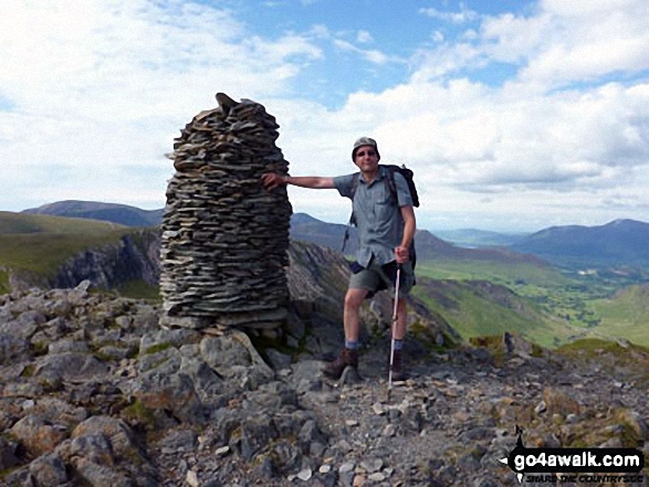
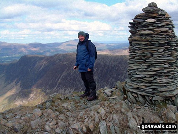
This is me on Dale Head (Newlands) summit having climbed up from Honister Slate Mine whilst going a Buttermere circular walk

Me jumping for joy at the great view from at Arthur's Seat, Edinburgh, with Edinburgh Castle in the background

Pendle Hill (right) on the horizon from the summit of Lad Law (Boulsworth Hill)

Back Tor (Hollins Cross) from Lose Hill (Ward's Piece) with Mam Tor and Lord's Seat (Rushup Edge) beyond during a winter temperature inversion

Falcon Clints and the River Tees from The Pennine Way south west of Cauldron Snout

The Cannon Kissing Gate allowing access into Chatsworth Park from Baslow

Looking SSE from the summit of Simon's Seat (Wharfedale) - a thick mist lies over the lower fells in the distance

Walking the ridge towards Mam Tor in deep snow between Back Tor (Hollins Cross) and Hollins Cross

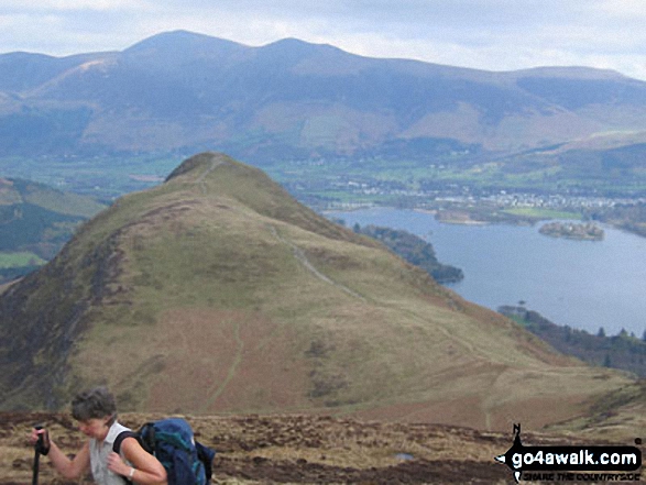
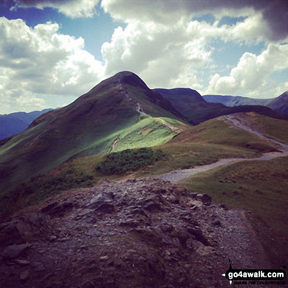
Cat Bells (Catbells) (foreground) with Derwent Water, Keswick and Skiddaw (centre left) and Blencathra (right) from Maiden Moor

On the Carn Mor Dearg Arete with Fort William and Loch Eil far below in the distance

Panorama of Harley Dingle/New Radnor Firing Range with Black Mixen, Bache Hill and Whimble opposite, Radnor Forest

Vince Wetton on the PYG Track en-route to Snowdon
via Crib Goch in 2010

The River Alwin, Alwindale and Kidland Forest with Inner Hill and Puncherton Hill beyond from Clennell Street

Callow (left), Nills, Church Stretton, The Lawley, Caer Caradoc Hill and Ragleth Hill (right) from near Minton

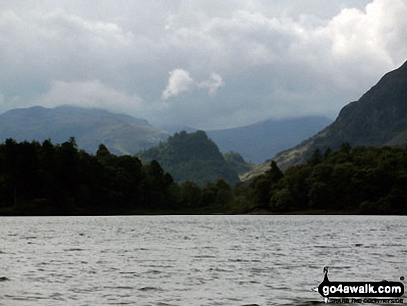
Castle Crag in the 'Jaws' of Borrowdale taken from the north end of Derwent Water

Stream above Dyserth Waterfall (Rhaeadr Dyserth)
from the North Wales Path, Dyserth

The Wain Stones (or Kissing Stones) on Bleaklow Head (Bleaklow Hill)

Temperature Inversion - Glyder Fach and Glyder Fach poking out of a sea of clouds from Carnedd Moel Siabod

Walking in Ladygrove near Matlock - gentle wooded hills right near a tourist honeypot but still quiet and relaxing

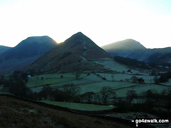
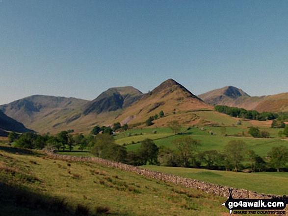
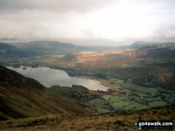
Autumn sunshine on Dale Head (left) and Fleetwith Pike (right) from Burtness Wood

Farne Islands, Blackrocks Point, Bamburgh Lighthouse and Harkess Rocks from near Budle Point

The Rigg and Haweswater Reservoir with Rough Crag and High Street beyond from The Old Corpse Road on Mardale Common

Macclesfield Forest (left) and Shining Tor (centre left - on the horizon) from a rather misty Shutlingsloe summit

Entrance to the Fallow Deer Park (closed in winter) - Lyme Park Country Park

Wild Camping at Loch Lundie between Invergarry and Fort Augustus in the Great Glen

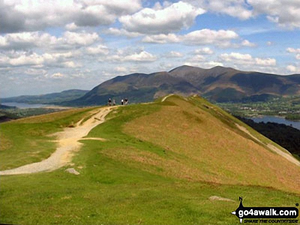
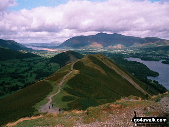
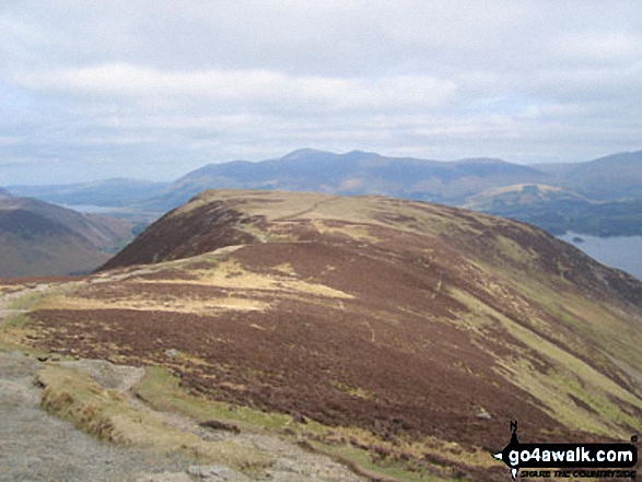
Cat Bells (Catbells) from Maiden Moor The Newlands Horseshoe with Keswick and Skiddaw beyond

The steps down to Giant's Castle Bridge over the River Bollin in Styal Country Park

The Howitzer and the Lion and the Lamb on the summit of Helm Crag with Loughrigg and Grasmere in the background

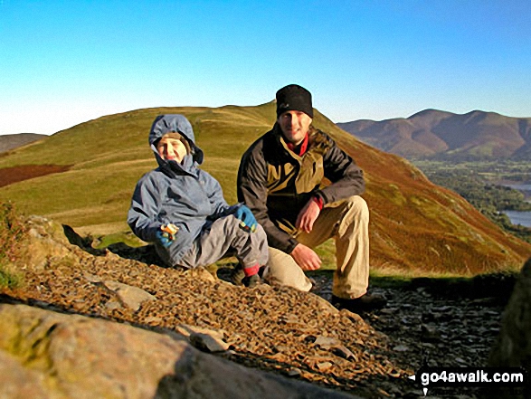
My son Patrick climbing Y Garn (Glyders) with Tryfan (left) and Glyder Fach (right) in the background

Kinder Reservoir and Mermaid's Pool from near the Kinder Downfall, Kinder Scout

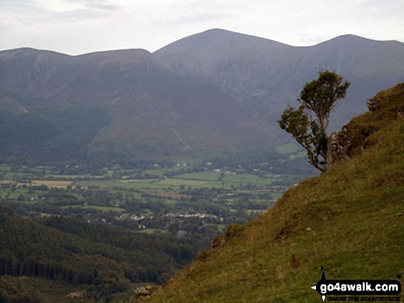
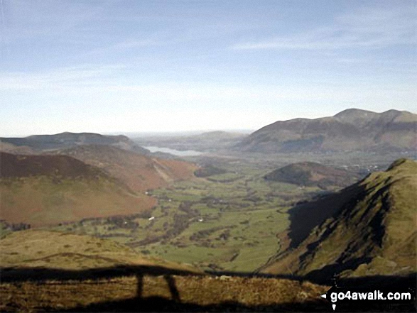
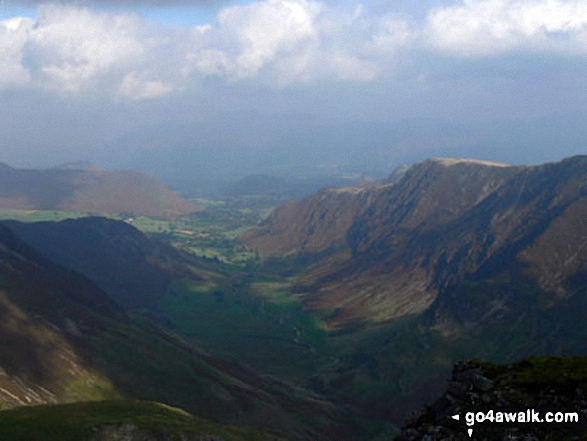
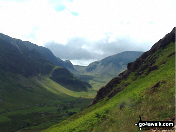
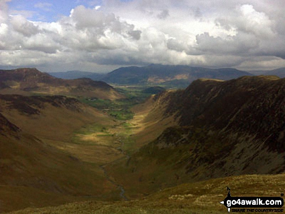
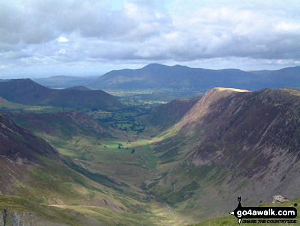
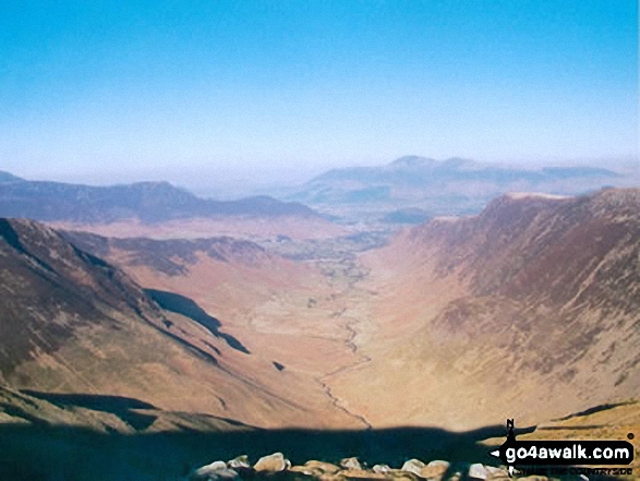
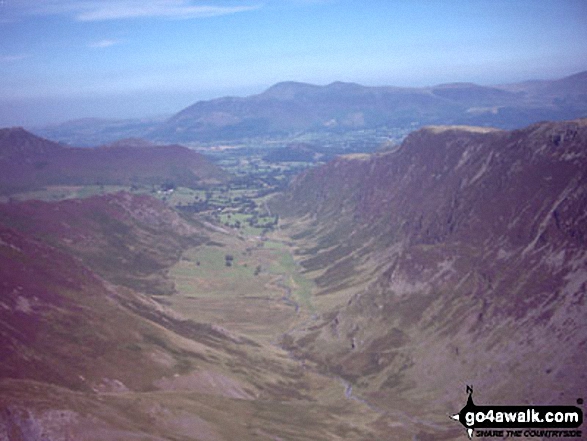
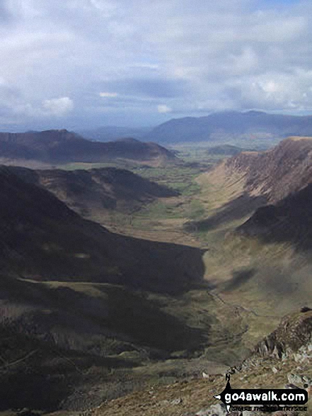
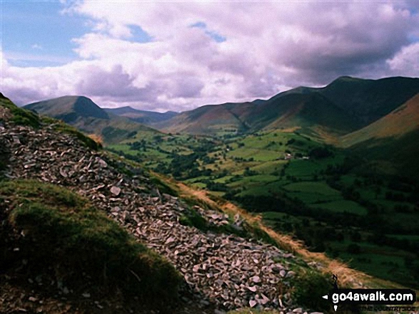
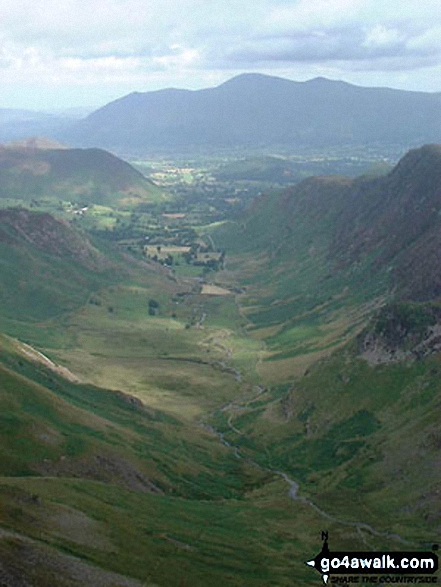
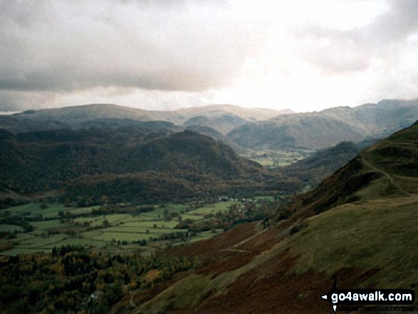
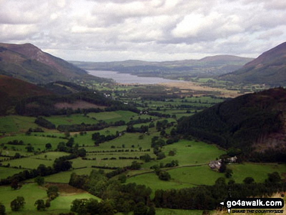
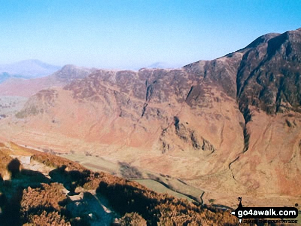
The Newlands Valley from High Spy with Bassenthwaite Lake in the distance and The Skiddaw Massif to the right

The East face path up of Pendle Hill (Beacon or Big End) wih Pendle House below

Stob Coire Altruim (Buachaille Etive Mor) & Stob na Broige (Buachaille Etive Mor) with Clach Leathad (Creise), Creise & Stob A' Ghlais Choire (Creise) beyond from the summit of Buachaille Etive Beag (Stob Dubh)

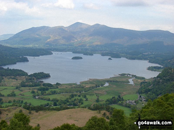
Derwent Water with Maiden Moor, Cat Bells (Catbells) and Causey Pike (right) beyond from Friar's Crag

*Crinkle Crags (Long Top), Gunson Knott & Crinkle Crags (South Top) (right) including the infamous bad step with the Scafell Massiff beyond from Great Knott

Walking under Thelwall Viaduct which carries the M6 (and much traffic) over The Manchester Ship Canal

Looking down Glen Sligachan from the start of the pinnacle ridge at Sgurr nan Gilliean

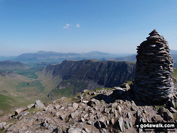
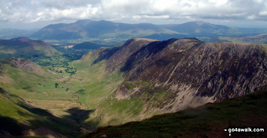
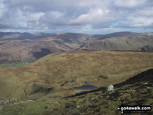
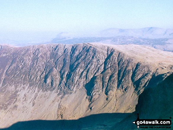
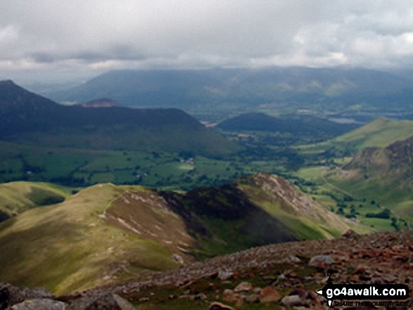
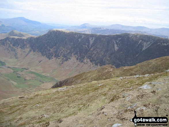
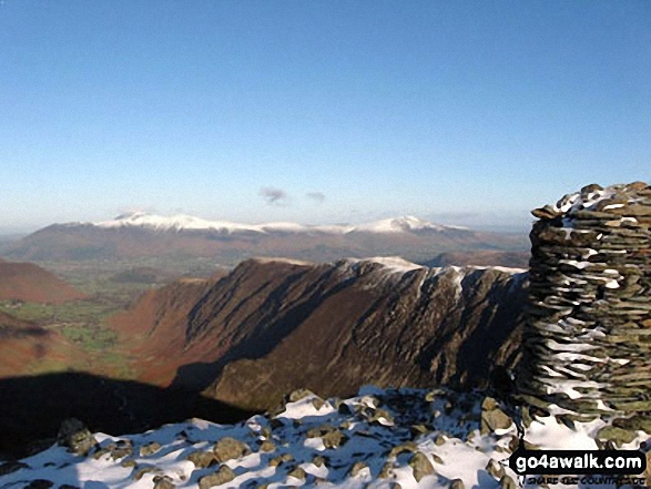
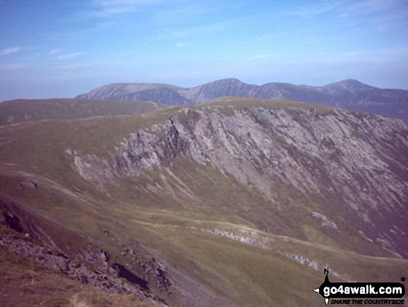
Skiddaw and Blencathra in the distance and then High Spy and Maiden Moor forming the ridge on the right from the summit of Dale Head (Newlands)

Plane Wreckage from the crashed flying fortress on Higher Shelf Stones.

Aerial Shot of Castleton with Winnats Pass and Lord's Seat (Mam Tor) and Mam Tor

The Great Ridge - Lord's Seat (Rushup Edge), Rushup Edge, Kinder Scout, The Vale of Edale, Edale, Hollins Cross, Back Tor (Hollins Cross), Lose Hill (Ward's Piece), Hope and Castleton under the mist from Mam Tor

Currick near the summit of Watch Hill (Graystone Edge) with Renwick Fell (Thack Moor) in the background

Scafell re-visted. Me, my dog and my mates passing Styhead Tarn on the way up to Scafell Pike

The (former) Portsmouth and Arundel Navigation Canal near Tilebarn Farm, Barnham

South Head (Hayfield) and Mount Famine from the Pennine Bridleway near Elle Bank

Cwm Idwal featuring Glyder Fawr (left), Twll Du or The Devil's Kitchen (centre) and Y Garn (right)

The River Kinder flowing through the peat hags on The Kinder Scout Plateau

Looking North along the High Rigg Ridge to Skiddaw (left) and Blencathra or Saddleback (Hallsfell Top) (right)

Victory (left), Defiance and Royal Soverin (right) - the three large boulders that form The Three Ships on Birchen Edge

This is a pic of my boyfriend mounting the steps to the summit of Snowdon in rather foggy conditions!

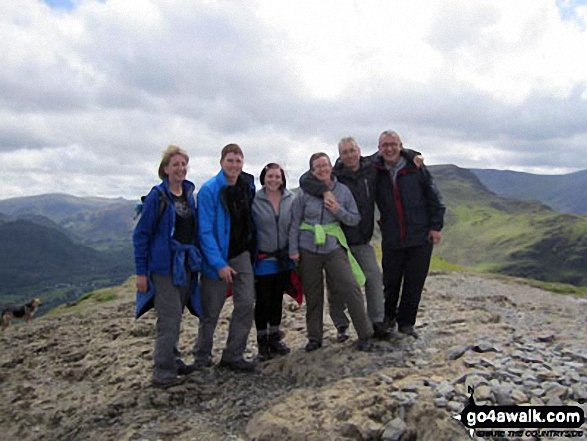
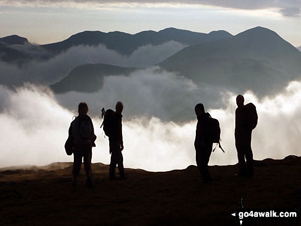
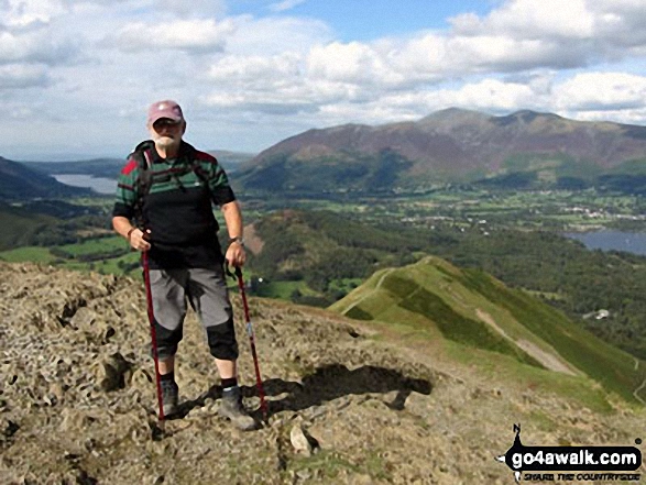
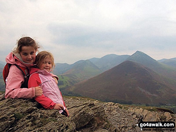
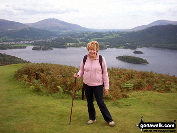
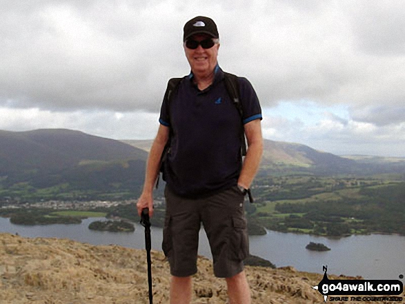
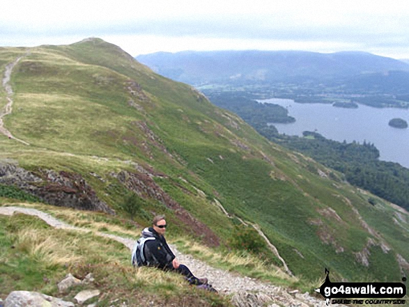
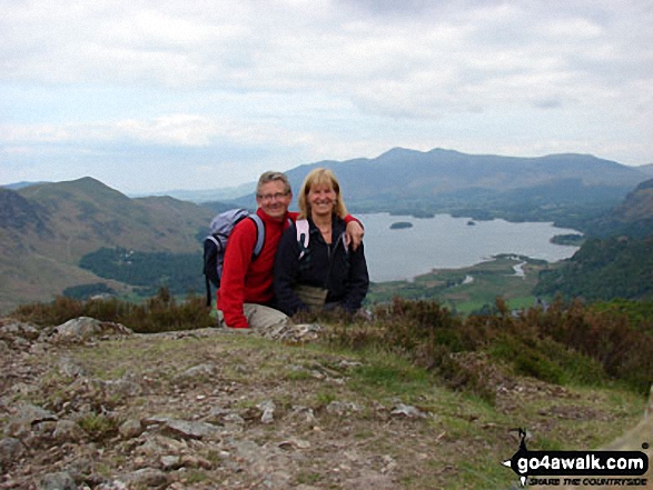
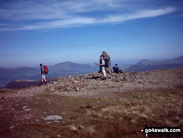
Me with friends (Dave, Hannah, Verne, Ali & Pete) on top of Cat Bells (Catbells)

Approaching Rosthwaite Cam (Rosthwaite Fell) and Tarn at Leaves from Rosthwaite Fell (Bessyboot)

My best friend Steve on the last steps to the top of The Cobbler (Ben Arthur)

Llyn Nantlle Uchaf, Dyffryn Nantlle and the shoulder of Mynydd Mawr from Y Garn (Moel Hebog)

Looking south east towards Loch Linnhe from the Fort William route up Ben Nevis

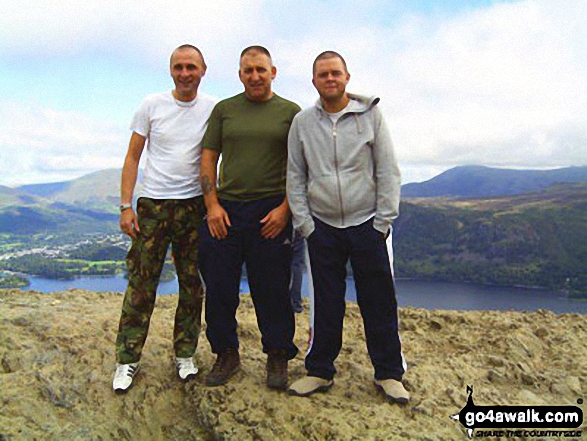
Me and my mates on top of Cat Bells (Catbells) with Derwent Water in the background

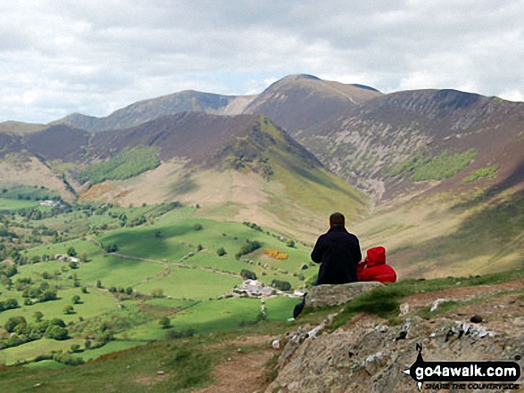
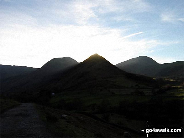
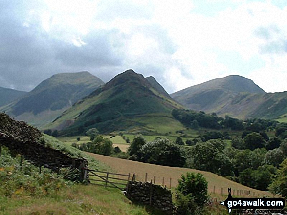
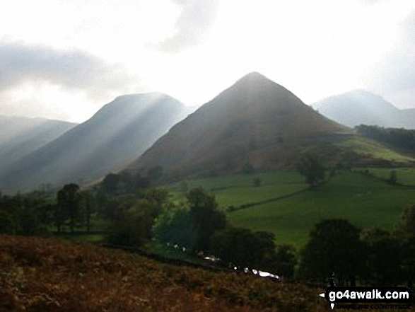
From left to right: Dale Head (Newlands), Hindscarth, High Crags and Robinson from just beyond Little Town

The Wasdale Screes below Illgill Head (centre) and Whin Rigg (right) from Ponsonby Fell

The Yorkshire Three Peaks Challenge - approaching Pen-y-ghent from Brackenbottom

Craig Fach, Llyn Llydaw (top) and Glaslyn (bottom) from Snowdon (Yr Wyddfa)

Blawith Common, Torver Low Common and The Coniston Fells from Beacon (Blawith Fells)

Brock Barrow (Top o' Selside) summit cairn with Coniston Water below

The Fairfield Horseshoe from the summit of Fairfield with Dove Crag (left), Rydal Beck, Ambleside, Windermere, Nab Scar and Heron Pike (prominent right)

Lovely days climbing at Trevor Rocks in Llangollen with the Clywdian range in the background

*Great Knott, Crinkle Crags (South Top), Crinkle Crags (Long Top), Gunson Knott and Bow Fell (Bowfell) from Red Tarn (Langdale)

Mellbreak taken in the evening sunlight from the Kirkstile Inn in Loweswater Village

Public Footpath number 3, which runs from Fen Road to Walcott Road, Billinghay

Descending in to the Grwyne Fawr Valley from Pen y Gadair Fawr in The Black Mountains

Deep Clough in Wiseman Hey Clough Woods, Winhill Pike (Win Hill) in heavy snow

Yewbarrow (now conquered!) from the road to the National Trust Camp Site at Wasdale where we were staying

Mynydd Drws-y-coed (The Nantlle Ridge) and Trum y Ddysgl from Y Garn (Moel Hebog)

The Packhorse Bridge over The River Derwent at the northern end of Howden Reservoir

Awkward stile over a deer fence on moorland above Kirkton Farm near Crainlarich

The Cumbria Way and Dash Beck from the top of Whitewater Dash (Waterfall), Back o' Skiddaw

Early morning mist catches the low light on Crummock Water with the towering Grasmoor beyond

The Ogwen Valley with Tryfan and Y Garn prominent from the lower southern slopes of Creigiau Gleision

The River Kinder flowing towards the waterfall at Kinder Downfall on the Kinder Scout Plateau

Looking along the valley of the river Aveyron from the hilltop hamlet of Mirabel

Me and a mate on the first crinkle of The Crinkle Crags above Great Langdale

Half way up Back Tor (Hollins Cross) in the Dark Peak with the beautiful Hope Valley and Kinder Scout behind

Small shelter on Long Man Hill with Great Dunn Fell, Little Dun Fell and Cross Fell in the background

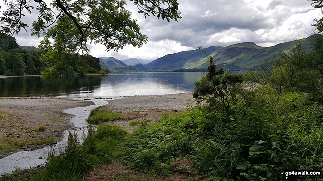
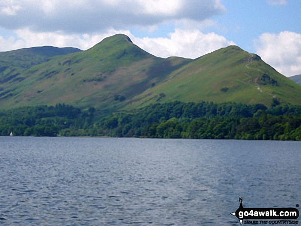
Cat Bells (Catbells) from near Barrow Bay on the Eastern shore of Derwent Water

Winhill Pike (Win Hill) and Bamford Edge from the lower slopes of Bamford Moor

The (now suddenly full) Drainwater Ditch on Binn Moor with Shooters Nab beyond

Crook Hill beyond Ladybower Reservoir from Wiseman Hey Clough Woods, Winhill Pike (Win Hill) in heavy snow

Hollins Cross, Back Tor (Hollins Cross) and Lose Hill (Ward's Piece) from Mam Tor

Hallin Fell from a viewpoint on the descent from High Dodd (Sleet Fell)

Looking towards Tal-y-llyn Lake/Llyn Mwyngil from the Minffordd Path on the lower slopes of Cadair Idris

Looking towards the Isle of Man (Sellafield rather spoils the view) from Sca Fell

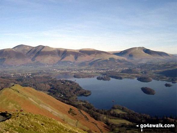
Bassenthwaite Lake (far left), Skiddaw (left), Blencathra (or Saddleback) (right), Keswick and Derwent Water from Cat Bells (Catbells)

Roseberry Topping - The Yorkshire Matterhorn - on an alternative coast to coast walk

Approaching Lads Grave and The M62 via The Pennine Way across Slippery Moss

Bassenthwaite Lake, Skiddaw, Keswick and Derwent Water from Cat Bells (Catbells)

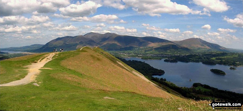
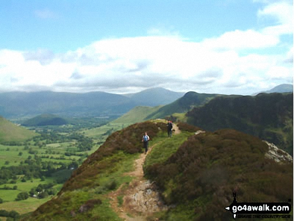
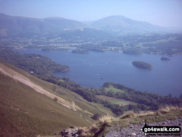
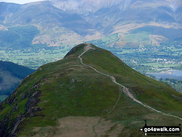
Wonderful view over Derwent Water from Cat Bells (Catbells) and the walk across the top of the fell

Parlick and Paddy's Pole (Fair Snape Fell) from Longridge Fell (Spire Hill)

From Montejaque the GR7 goes northeast up the zig zags toward Ronda - on the southern end of the GR7

Red Tarn (Helvellyn) and Striding Edge in all it's glory from Helvellyn

A frozen Grisedale Tarn from the lower slopes of Dollywaggon Pike in the snow

Innominate Tarn, Hay Stacks with Great Gable, Kirk Fell and Scafell Pike in the distance

The Mushroom Shelter on the summit of Scout Scar (Barrowfield) above Kendal

A hidden waterfall along the side of Ladybower Reservoir in Wiseman Hey Clough Woods

Castlerigg Stone Circle with Sail, Causey Pike, Barrow and Grisedale Pike in the background

Rock sculptures near Ringing Roger on the edge of The Kinder Plateau (Edale Moor) with Grindsbrook Knoll beyond

The River Twiss in Kingsdale above Thornton Force, The Ingleton Waterfalls

Rodney's Pillar (Breidden Hill) (left) and Moel y Golfa (centre) and from the A458 road near the railway bridge at Cefn

Wast Water from Lingmell Gill on the way up Scafell Pike. The fell to the right is Middle Fell

Harter Fell (Eskdale) (right) and Green Crag (Ulpha Fell) (left) from Great Worm Crag

Buttermere Lake with High Snockrigg beyond from near High Wax Knott above Peggy's Bridge (on the way to Hay Stacks)

Princetown from the path to South Hessary Tor with North Hessary Tor beyond

The Black Moss Reservoirs (Upper and Lower) and Pendle House from the top Pendle Hill (Beacon or Big End)

Iron Crag, Whoap, Crag Fell and Grike tower over Ennerdale Water from the summit of Red Pike (Buttermere)

Scar Crags with Sail (Derwent Fells) and Crag Hill (Eel Crag) beyond from Causey Pike

Bamford Edge, Bamford Moor with Stanage Edge (Stanage Edge) in the distance

The lower slopes of Hartsop Dodd (left), Caudale Head, The Kirkstone Pass and High Hartsop Dodd (right, behind the tree) reflected in Brothers Water in the snow

Mynydd Tal-y-mignedd (left) and Mynydd Drws-y-coed with Moel Eilio (right, in the distance) from the cairn on the summit of Moel Yr Ogof

Looking across Great Langdale to Side Pike and Lingmoor Fell from Stickle Ghyll, The Langdale Pikes

Souther Fell summit cairn with Blencathra (or Saddleback) (distance) and Bannerdale Crags in the background

Nantgwynant with Ysgafell Wen and Cnicht on the horizon from the summit of Y Lliwedd

Yarrow Reservoir and Anglezarke Reservoir from Winter Hill (Rivington Moor)

A black and white shot of Red Deer just below the summit of Glas Charn (Aberchalder Forest)

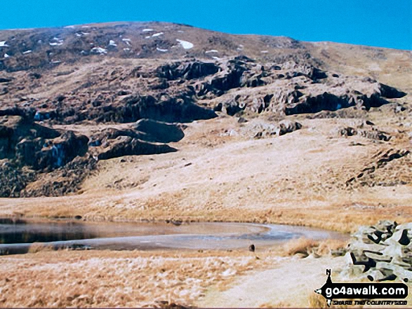
Wainwrights unnamed 'perfect mountain tarn' between Glaramara and Allen Crags

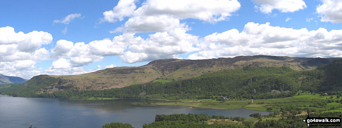
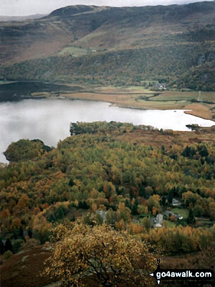
Derwent Water and Borrowdale with Cat Bells, Maiden Moor and Castle Crag on the right from the northern end of the lake

High Crag, Seat, Scarth Gap and Hay Stacks (Haystacks) from Looking Stead (Pillar)

The Bridge over Bar Brook at Baslow Nether End on the way into Chatsworth Park

Hindscarth (left), Scope End (centre) and Robinson (right) from above Little Town

*Derwent Water with Walla Crag, Bleaberry Fell and High Seat beyond from Cat Bells (Catbells)

Malvern (Worcestershire Beacon) and Sugarloaf Hill (Malverns) from North Hill (Malverns)

Cat Bells (Catbells) (foreground) with Skiddaw and Blencathra (distance left) and Derwent Water from Maiden Moor

Skiddaw, Blencathra (or Saddleback) and Derwent Water from Cat Bells (Catbells)

Ben Vane summit cairn with Beinn Narnain beyond and Ben Lomond and Ptarmigan in the distance across Loch Lomond

The Plaque beneath the Bassett Monument inside St. Bartholomew's Church, Blore

James Dexter on The Minffordd Path above Cwm Cau - with Cadair Idris (Penygadair) in the background

The Nine Arches Viaduct with the Column of Liberty, Gibside Country Estate on the horizon from The Red Kite Trail near Winlaton Mill, Gateshead

The Scafell Massif - Slight Side, Sca Fell, Symonds Knott, Mickledore, Scafell Pike, Ill Crag and Great End - from the summit of Little Stand

High Street (behind the tree). Straits of Riggindale, Head of Riggindale Beck and Kidsty Pike from Haweswater Reservoir

Climbing Scafell Pike via the Brown Tongue path with Illgill Head (left), Wast Water and Middle Fell (Wasdale) (right) in the background

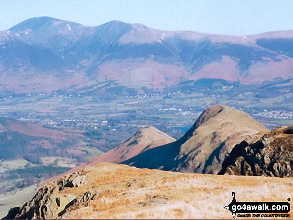
Ullock Pike, Carl Side, Skiddaw and Little Man (Skiddaw) from Cat Bells (Catbells)

Runaway Ramblers from Bury on top of Steel Fell (Dead Pike) in early May

Me dismounting The Cioch (or Cioch Buttress) on the South West ridge of Sgurr Sgumain (Sgurr Alasdair) in The Cuillin Hills, Isle fo Skye

Crib Goch, The PYG Track (centre), The Miners' Track (lower right) and Llyn Llydaw from Bwlch Glas

Causey Pike (left), Bassenthwaite Lake, Newlands, Swinside, Cat Bells (Catbells) (centre), Derwent Water, Skiddaw , Blencathra and Walla Crag (far right) from Maiden Moor

Porthmadoc and Tremadoc Bay/Bae Tremadog from the summit of Cnicht - the Welsh Matterhorn

The S for Sugar Aircraft Crash Memorial between Swirl How, Great Carrs and Grey Friar

On the lower slopes of Ben Nevis with Meall an t-Suidhe and Lochan Meall an t-Suidhe in the background

Moel Lefn (centre), Moel yr Ogof and Moel Hebog (right) from the summit of Craig Cwm Silyn

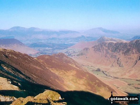
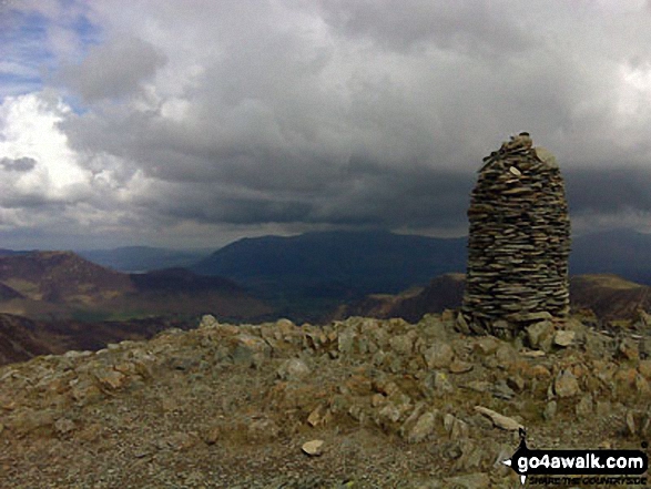
Looking south from the summit of Dale Head (Newlands) with (left to right) Great End, Broad Crag, Ill Crag and Scafell Pike on the horizon and Great Gable (far right - mid distance)

Winhill Pike (Win Hill), Ladybower Reservoir and Crook Hill from Dovestones Tor, Derwent Edge

Y Garn (Moel Hebog) from Trum y Ddysgl - with Foel Goch (left), Moel Cynghorion (right) and Elidir Fawr between

Snow on Bod a' Mhadail with Loch Sionasgaig in the distance from the summit of Cul Mor

Biscuits and hot chocolate near Llyn Idwal with the Nant Ffrancon valley in the distance

Whernside (left), The Ribblehead Viaduct (centre) and Park Fell (right) from the summit of Ingleborough

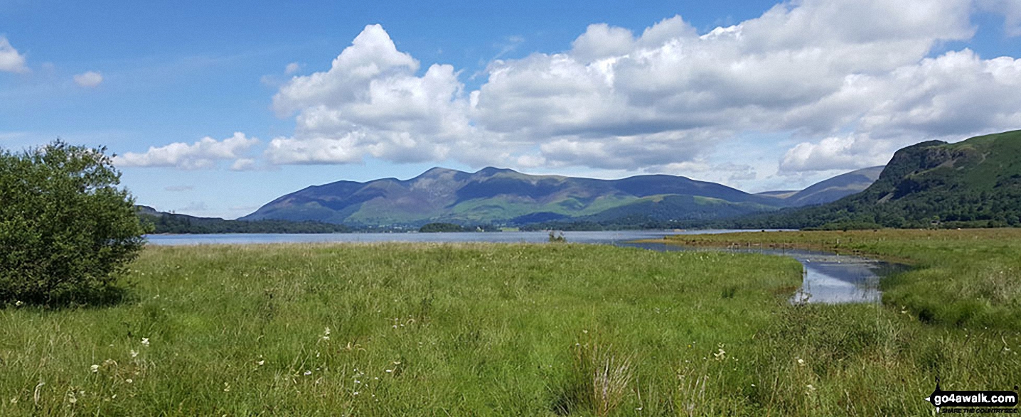
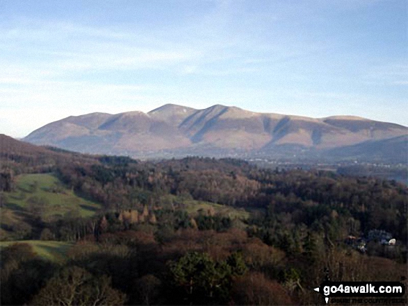
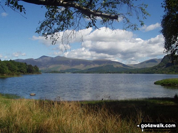
The Skiddaw massif along with Walla Crag (to the right) from the southern end of Derwent Water
The Camouflaged back of the Out of Bounds to all Military Vehicles sign on the access road to Lower Fleetgreen Farm

Borrowdale featuring Rosthwaite and Stonethwaite from Hanging Haystack Crag

Barley, Ing Ends and Ogden Reservoirs from the top Pendle Hill (Beacon or Big End)

Watson's Dodd, Great Dodd and Clough Head and Dockray from Gowbarrow Fell (Airy Crag)

Rough Crag beyond Blea Water from above Blea Water Crag between High Street and Mardale Ill Bell

Gibbon Hill and Harkerside Moor with Reeth in the valley below from Fremington Edge

Looking down the ridge from Steel Fell (Dead Pike) with Helm Crag to the right

Dunmail Raise and Grasmere Village in the valley with Helvellyn (left), Fairfield (centre) and Seat Scandal, Great Rigg and Heron Pike beyond from Lang How

Looking over to Carnedd Dafydd with The Glyderau and Snowdon (Yr Wyddfa) in the distance (left) from Carnedd Llewelyn

Sculpture and standing stones on the summit of
Hangingstone Hill (Eddisbury Hill)

The Tyne Head Sculpture by Gilbert Ward marking the source of the South Tyne

Beinn na h-Eaglaise (Ben-Damph Forest) across Loch Torridon from the lower slopes of Beinn Damh
. . . see just 10 walk photos from Walk c100 The Newlands Horseshoe from Hawes End
Send us your photographs and pictures from your walks and hikes
To add your walk photographs and pictures to this walk, please send them as email attachments (configured for any computer) along with your name to:
and we shall do our best to publish them.
(Guide Resolution = 300dpi. At least = 660 pixels (wide) x 440 pixels (high).)
You can also submit photos via our Facebook Page.
NB. Please indicate where each photo was taken.