Walks Routes Maps from Wye Dale in The White Peak Area, The Peak District, Derbyshire in Walk Grade Order
Walks routes maps for Walks that start or go through Wye Dale in The White Peak Area, The Peak District, Derbyshire, England in Walk Grade Order
Details of refreshments, pubs & parking are included on each Wye Dale walk route map.
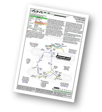
Walk d173 Chelmorton from Wye Dale
Route Summary: - Wye Dale, Topley Pike Quarry, Deep Dale, Horseshoe Dale, Bullhay Dale, Chelmorton, Marl Dale, Wye Dale.
Length: 8.5km (5¼ miles) | Ascent: 286m (939ft) | Allow at least: 3hrs | Grade: Easy
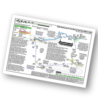
Walk d249 The Monsal Trail, Miller's Dale and Chelmorton from Wye Dale
Route Summary: - Wye Dale, Blackwell Junction, The Monsal Trail, Chee Dale, Miller's Dale Station, Miller's Dale, Priestcliffe, Taddington, Sough Top, Chelmorton, Burrs Farm, Marl Day, Topley Pike Quarry, Wye Dale.
Length: 13.5km (8½ miles) | Ascent: 555m (1812ft) | Allow at least: 5hrs | Grade: Moderate
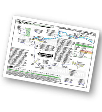
Walk d265 The Monsal Trail and Taddington from Wye Dale
Route Summary: - Wye Dale, The River Wye, Blackwell Junction, The Monsal Trail, Chee Dale, Miller's Dale Station, Miller's Dale, Litton Mill, Water-cum-Jolly Dale, Cressbrook, Monsal Dale, White Lodge, Deep Dale, Taddington, Sough Top, Chelmorton, Burrs Farm, Marl Dale, Wye Dale.
Length: 24.5km (15¼ miles) | Ascent: 536m (1759ft) | Allow at least: 7¼hrs | Grade: Hard