Y Foel Goch
805m (2642ft)
The Glyders (or Glyderau), Snowdonia, Conwy, Wales
Y Foel Goch means 'Red Bare Hill' in Welsh and is pronounced 'uh-foil-gokh'.
The summit of Y Foel Goch is marked by a cairn.
Not familiar with this top?
See Y Foel Goch and the surrounding tops on our free-to-access 'Google Style' Peak Bagging Maps:
The Glyders (or Glyderau) of Snowdonia National Park
Less data - quicker to download
The Whole of Snowdonia National Park
More data - might take a little longer to download
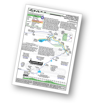
See Y Foel Goch and the surrounding tops on our downloadable Peak Bagging Map in PDF format:
NB: Whether you print off a copy or download it to your phone, this PDF Peak Baggers' Map might prove incredibly useful when your are up there on the tops and you cannot get a phone signal.
You can find Y Foel Goch & all the walks that climb it on these unique free-to-access Interactive Walk Planning Maps:
1:25,000 scale OS Explorer Map (orange/yellow covers):
1:50,000 scale OS Landranger Map (pink/magenta covers):
 Fellow go4awalkers who have already walked, climbed, summited & bagged Y Foel Goch
Donovan Suddell walked up it on May 21st, 2023 [from/via/route] Pen-Y-Gwryd Hotel & down into Capel Curig (Non circular) [with] Wife [weather] Beautiful sunny day
Adrian Haywood climbed it on January 29th, 2023 [from/via/route] Capel Curig - Gallt yr Ogof -Foel Goch [with] Rob [weather] nice day, above the clouds
Melfyn Parry bagged it on April 1st, 2022 [from/via/route] Glan Dena to Heather Terrace, then up to Tryfan South Top Peak, descent to Bwlch Tryfan & then followed Miner's Path to ridge, walked passed Llyn Caseg Fraith, make sure you follow the windy path as very boggy if you take the racing line, then up to summit of Y Foel Goch, followed path drown to col & then up to summit of Gallt yr Ogof. Dropped down to Gwern Got Isaf Campsie to finish. [weather] Very sunny day, great visibility. Some smatterings of hail lying to 3" in parts & some areas were icy. - If doing it again would drop off ridge from Gallt yr Ogof sooner as terrain was better slightly further left. Follow fence line to stile & then hug fence for some distance before descent to gate on old Roman Road.
Andy Buxton hiked it during August, 1964 [from/via/route] Dad
Christina Lander summited on May 14th, 2019 [from/via/route] Llyn Ogwen - Llyn Bochlwyd - Bwlch Tryfan - Y Foel Goch - Gallt yr Ogof - Cefn y Capel - Llyn Ogwen [with] Dick & Meg [weather] Beautiful, warm, sunny day
Hugh Strickland conquered it on September 1st, 2018 [from/via/route] 20 miles (just under 10 hours, 8500 feet) Capel Curig to Y Garn, down to Ogwen upPen Yr Ole Wen & back along Carneddau including Pen Llithrig y Wrach
Mark Davidson scaled it on May 27th, 2004 [with] Alone [weather] Bright, sunny & warm - I think the north ridge of Tryfan was the scariest walk I have ever done - & I thought Crib Goch, Sharp Edge & Striding Edge were fun!
Alan Smith walked up it on May 29th, 2016 [with] Myself [weather] Sunny
Chris Newham climbed it on September 5th, 2015 [from/via/route] cw119 [with] Michal [weather] Sunny wind picking up later in day
Simon Neilson-Clark bagged it on June 17th, 2014 [from/via/route] Tryfan [with] Mrs H [weather] Mist with Sunshine - Heavy cloud White Just saved theday with a change of direction but had to check on Sat Nav
To add (or remove) your name and experiences on this page - Log On and edit your Personal Mountain Bagging Record
. . . [see more walk reports]
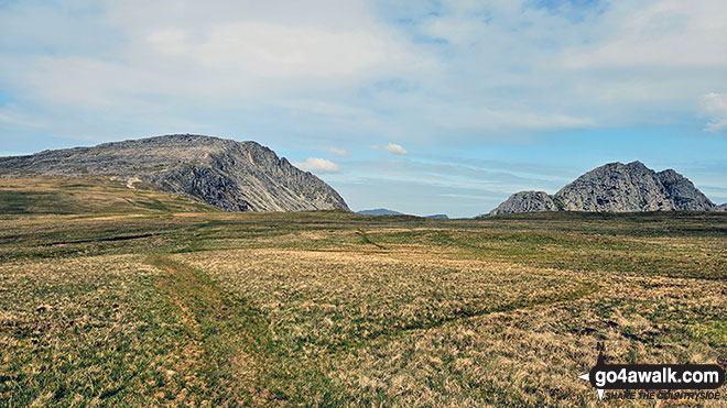
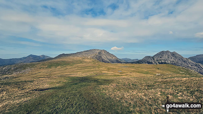
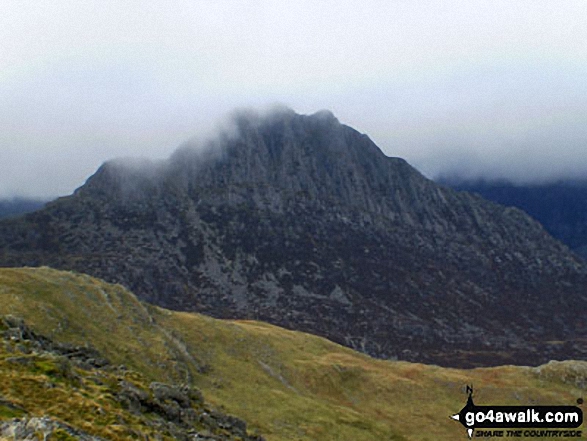
More Photographs & Pictures of views from, on or of Y Foel Goch
Send us your photographs and pictures on, of, or from Y Foel Goch
If you would like to add your walk photographs and pictures to this page, please send them as email attachments (configured for any computer) along with your name to:
and we shall do our best to publish them.
(Guide Resolution = 300dpi. At least = 660pixels (wide) x 440 pixels (high).)
You can also submit photos via our Facebook Page.
NB. Please indicate where each photo was taken and whether you wish us to credit your photos with a Username or your First Name/Last Name.
Not familiar with this top?
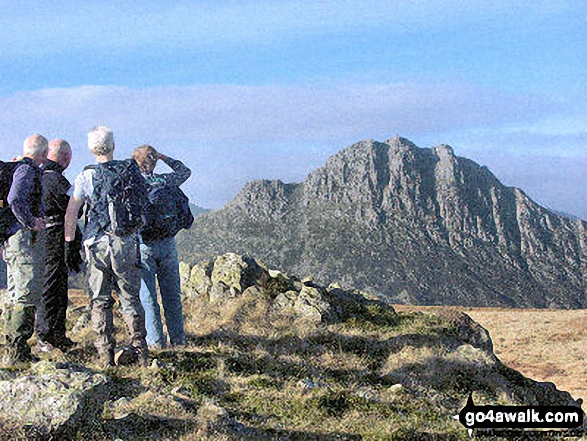
 (Moderate)
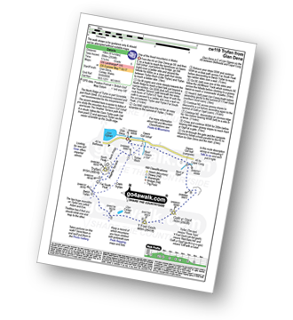
 (Very Hard)