
![]()
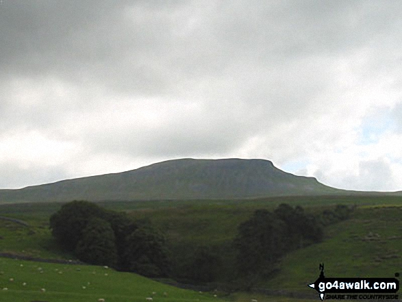
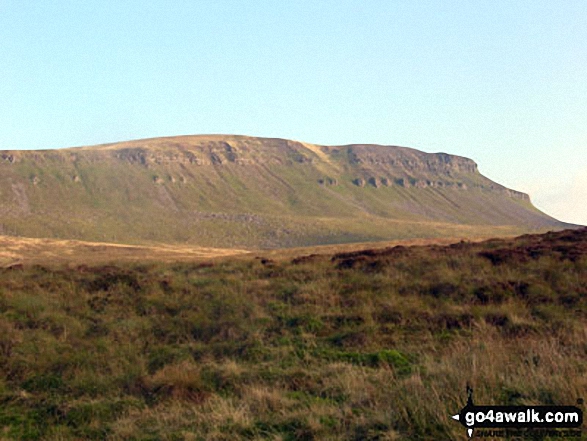
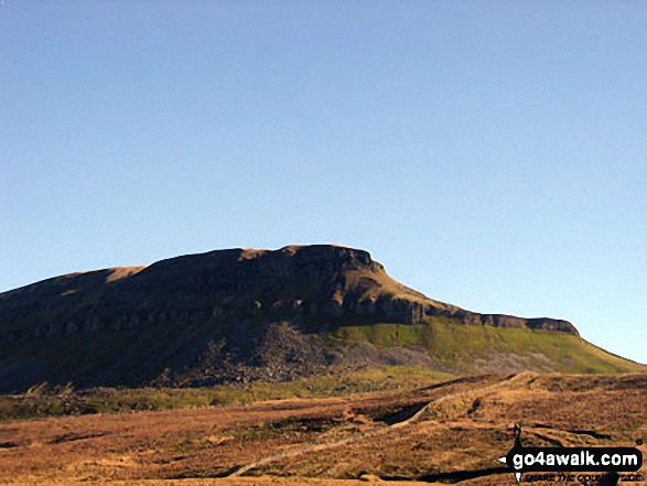
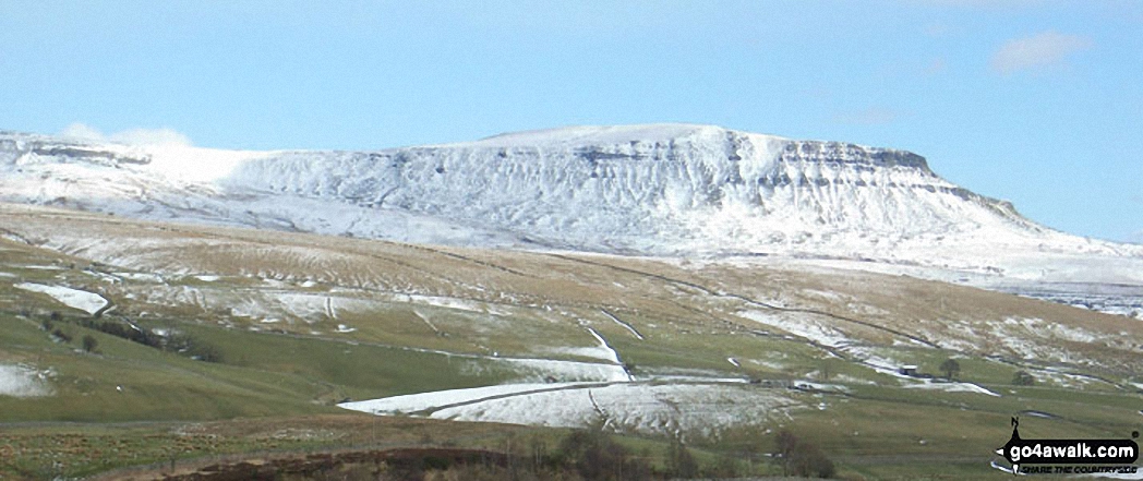
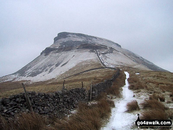
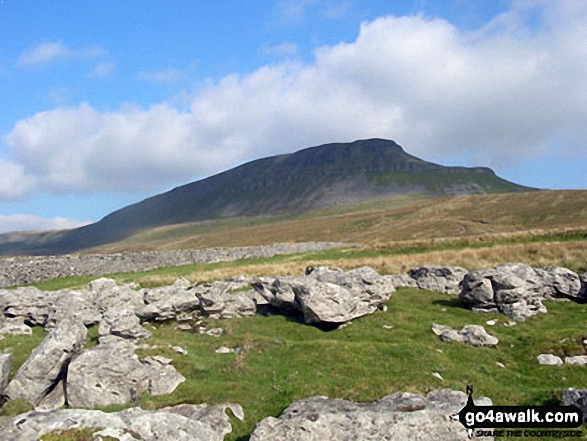
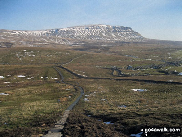
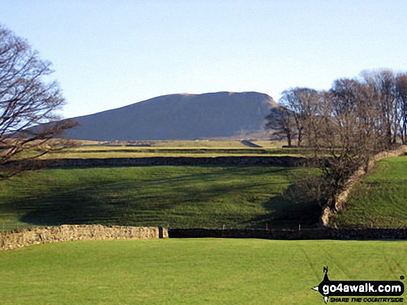
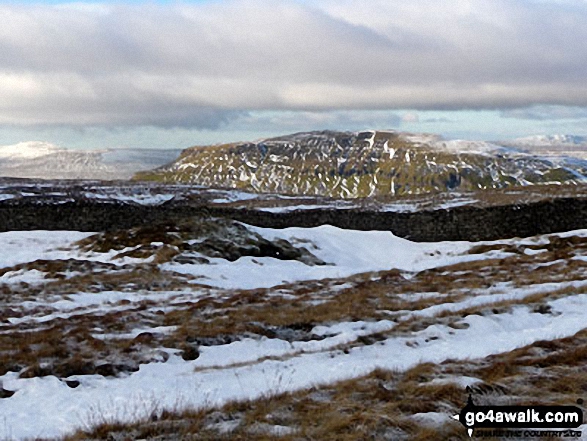
Pen-y-ghent
694m (2277ft)
The Southern Dales Area, The Yorkshire Dales, North Yorkshire, England
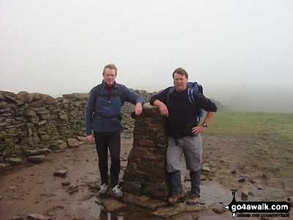
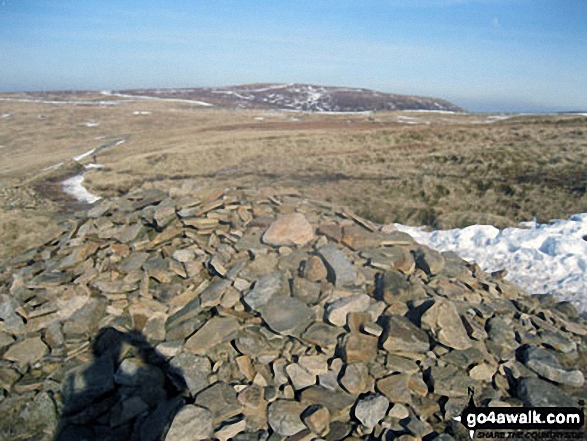
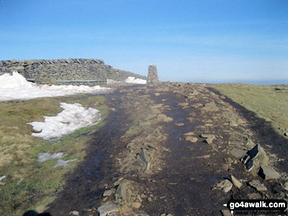
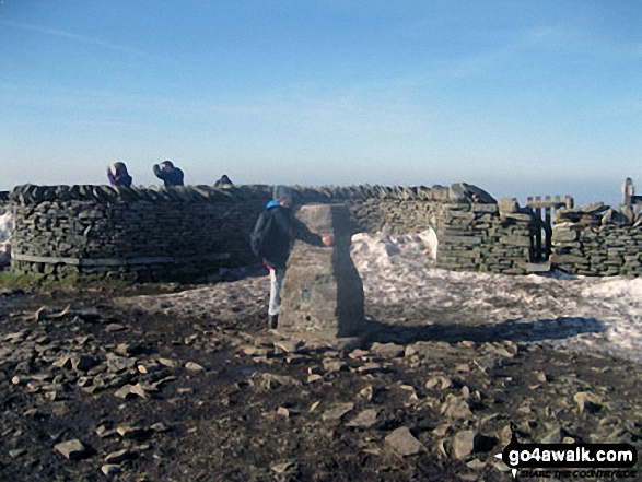
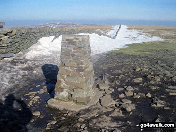
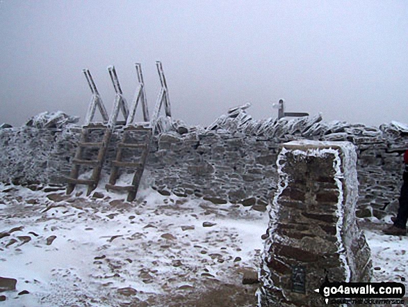
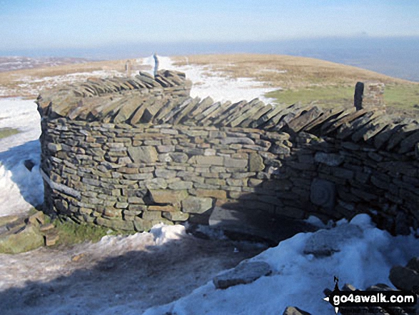
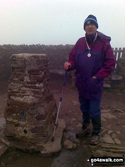
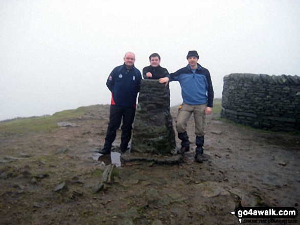
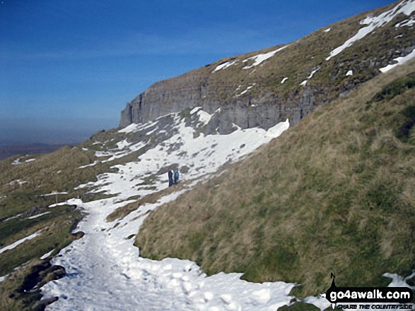
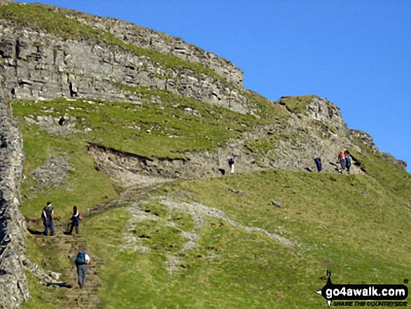
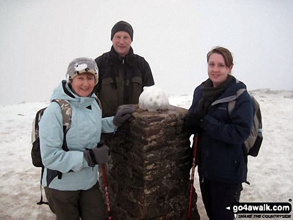
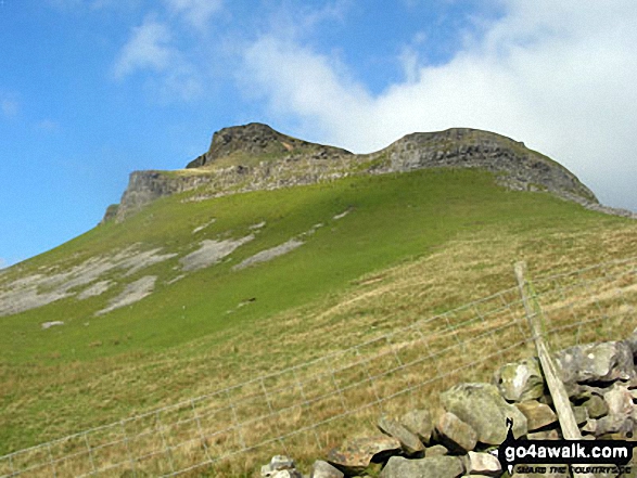
The summit of Pen-y-ghent is marked by an Ordnance Survey Trig Point.
Not familiar with this top?
   |
|---|
Vital Statistics:
| Length: | 6.25ml (10km) |
|---|---|
| Ascent: | 1,640ft (489m) |
| Time: | 4 hrs |
| Grade: |  (Moderate) (Moderate) |
Route Summary:
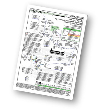
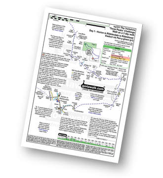
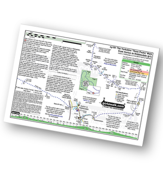
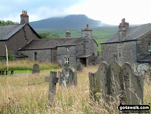
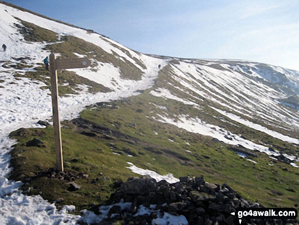
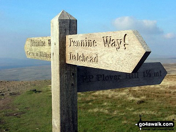
Horton in Ribblesdale - Brackenbottom - Gavel Rigg - The Pennine Way - Pen-y-ghent - Hunt Pot - Hull Pot - Horton in Ribblesdale.
|
|---|
Vital Statistics:
| Length: | 8.75ml (14km) |
|---|---|
| Ascent: | 1,827ft (557m) |
| Time: | 5 hrs |
| Grade: |  (Moderate) (Moderate) |
Route Summary:
Horton In Ribblesdale - Brackenbottom - Gavel Rigg - The Pennine Way - Pen-y-ghent - Plover Hill - Foxup Moor - Swarth Gill Gate - Black Banks - Turpen - Horton Moor - Hull Pot - The Pennine Way - Horton Scar Lane - Horton In Ribblesdale
|
|---|
Vital Statistics:
| Length: | 10ml (16km) |
|---|---|
| Ascent: | 1,663ft (506m) |
| Time: | 5 hrs |
| Grade: | (Moderate) |
Route Summary:
Dale Head - The Pennine Way - Gavel Rigg - Pen-y-ghent - Plover Hill - Foxup Moor - Foxup Road - Low Bergh - Littondale - Pen-y-ghent Gill - Dale Head
|
|---|
Vital Statistics:
| Length: | 10.25ml (16.5km) |
|---|---|
| Ascent: | 2,136ft (651m) |
| Time: | 6 hrs |
| Grade: | (Moderate) |
Route Summary:
Horton in Ribblesdale - Pen-y-ghent Cafe - Brackenbottom - Gavel Rigg - The Pennine Way - Pen-y-ghent - Hunt Pot - Hull Pot - Whitber Hill - God's Bridge - Brow Gill Beck - Nether Lodge - River Ribble - Lodge Hall (or Ingman Lodge) - Ribblehead - Ribblehead Railway Station - Train Journey - Horton in Ribblesdale Railway Station - Horton in Ribblesdale.
|
|---|
Vital Statistics:
| Length: | 24ml (38.5km) |
|---|---|
| Ascent: | 5,297ft (1,614m) |
| Time: | 14 hrs |
| Grade: |  (Very Hard) (Very Hard) |
Route Summary:
Horton in Ribblesdale - Pen-y-ghent Cafe - Brackenbottom - Gavel Rigg - The Pennine Way - Pen-y-ghent - Hunt Pot - Hull Pot - Whitber Hill - God's Bridge - Brow Gill Beck - Nether Lodge - River Ribble - Lodge Hall (or Ingman Lodge) - Ribblehead - Blea Moor - Whernside - Broadrake Farm - Chapel-le-Dale - Braithwaite Wife Hole - Ingleborough - Pen-y-ghent Cafe - Horton in Ribblesdale.
See Pen-y-ghent and the surrounding tops on our free-to-access 'Google Style' Peak Bagging Maps:
The Southern Dales Area of The Yorkshire Dales National Park
Less data - quicker to download
The Whole of The Yorkshire Dales National Park
More data - might take a little longer to download
See Pen-y-ghent and the surrounding tops on our downloadable Peak Bagging Map in PDF format:

NB: Whether you print off a copy or download it to your phone, this PDF Peak Baggers' Map might prove incredibly useful when your are up there on the tops and you cannot get a phone signal.
You can find Pen-y-ghent & all the walks that climb it on these unique free-to-access Interactive Walk Planning Maps:
1:25,000 scale OS Explorer Map (orange/yellow covers):
1:50,000 scale OS Landranger Map (pink/magenta covers):
 Fellow go4awalkers who have already walked, climbed, summited & bagged Pen-y-ghent
Hazel Gilbert walked up Pen-y-ghent on August 22nd, 2007 [with] Lawrence
David Peebles climbed Pen-y-ghent on June 20th, 2024 [from/via/route] parked at Horton in Ribblesdale [with] Solo [weather] Mixed Weather. Warm but wet a bits - Great walk.
Sarah Moore bagged Pen-y-ghent on July 30th, 2022 [from/via/route] Three Peaks [with] On my own - but thanks to Steve the Scouser...the 2 lads from Grimsby and the 4 guys who finished at the same time! [weather] Awful!!
Ross Maxwell hiked Pen-y-ghent on February 20th, 2022 [from/via/route] South (pennine way) towards Horton-in-Ribblesdale [weather] snow & sun - fresh snow on ground paraglider followed me up
Keith Axell summited Pen-y-ghent on August 7th, 2021 [from/via/route] Three Peaks route anti-clockwise from Horton [with] Jeff Young [weather] Wet, windy & mild. No visibility near top up.
Jeff Stott conquered Pen-y-ghent on July 21st, 2021 [from/via/route] Horton [with] Shell [weather] Good - Great walk. New boots & bits n bat's.
Tony Halliday scaled Pen-y-ghent on August 10th, 2020 [from/via/route] camped at Horton in ribblesdale started & ended walk here circular [with] sally halliday jimmy boo and George our 3 dogs [weather] perfect conditions not too hot with clear visability - quite busy not too strenuious first of 3 peaks over 3 days
Andrew Flynn walked up Pen-y-ghent on September 12th, 2020 [from/via/route] ny101 Yorkshire Three Peaks [with] Nicola [weather] Nice day. Bit windy.
Angela Moroney has climbed Pen-y-ghent - Cath 3 peaks 2019
Stephen Reader bagged Pen-y-ghent on April 13th, 2019 [from/via/route] From Ingleborough as part of Y3P [with] Matt [weather] Glorious sunshine but very windy & bitterly cold on top - Views to die for.
To add (or remove) your name and experiences on this page - Log On and edit your Personal Mountain Bagging Record
. . . [see more walk reports]
More Photographs & Pictures of views from, on or of Pen-y-ghent
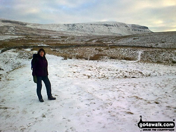
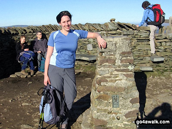
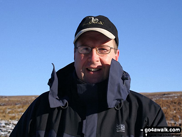
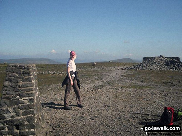
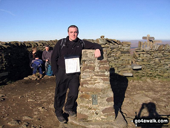
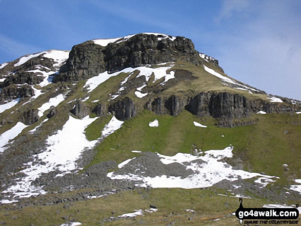
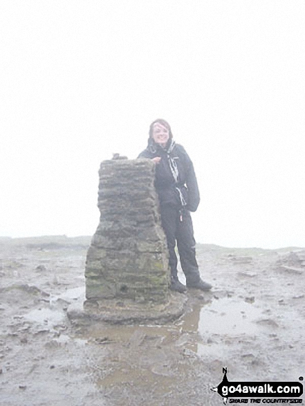
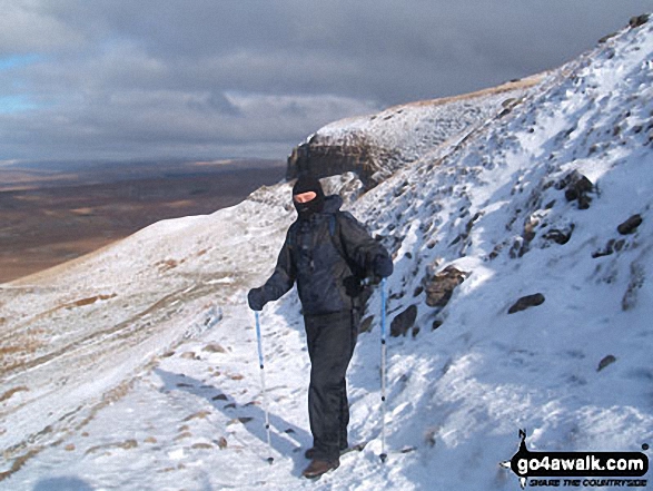
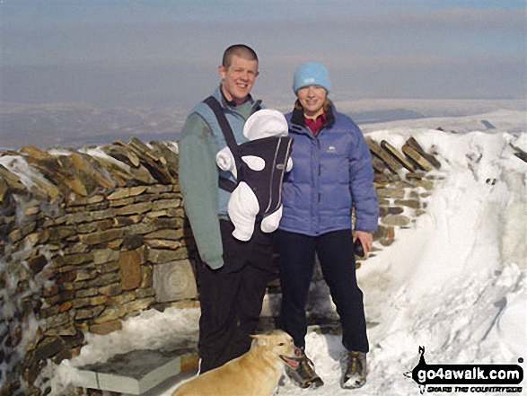
Me on Gavel Rigg just below the top of Pen-y-ghent, one of the Three Yorkshire Peaks
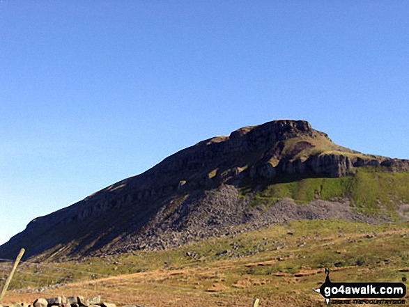
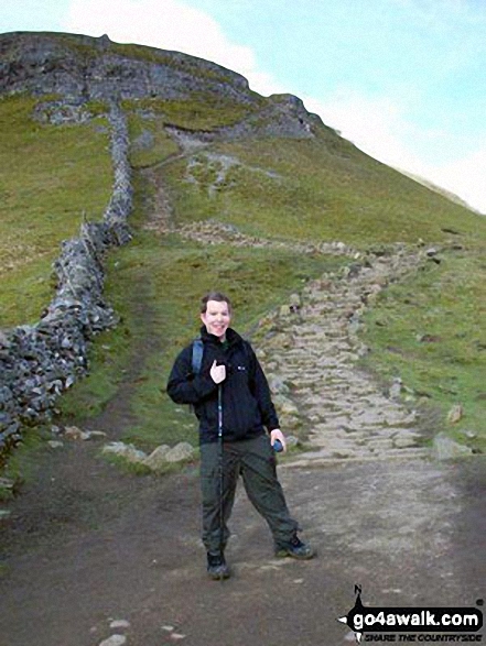
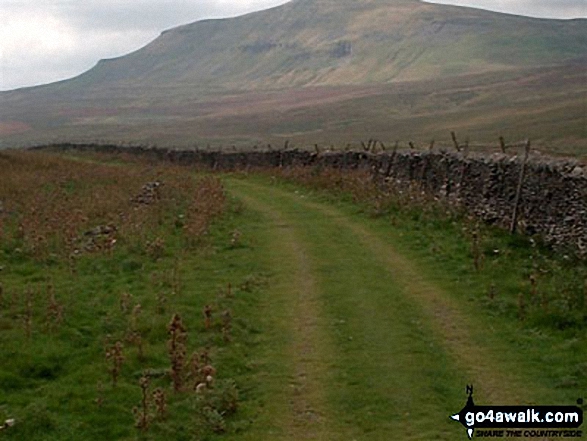
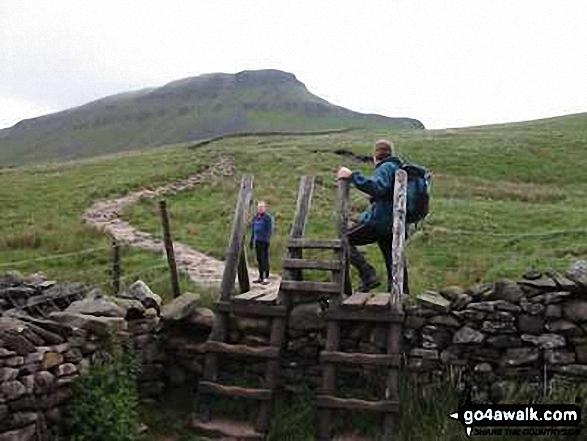
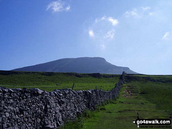
Approaching Pen-y-ghent from Brackenbottom on The Yorkshire Three Peaks Challenge
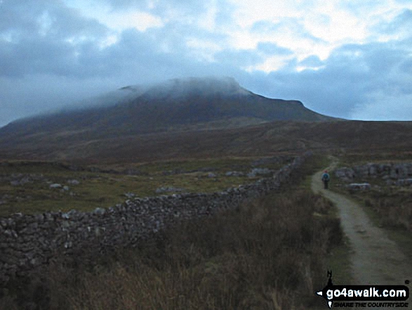

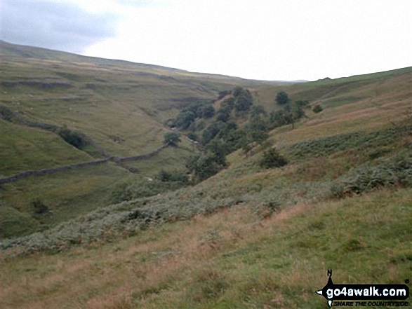
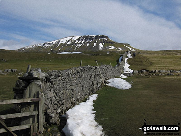
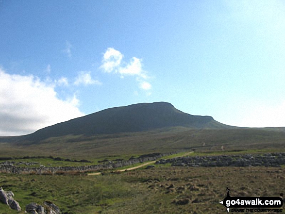
The Yorkshire Three Peaks Challenge - approaching Pen-y-ghent from Brackenbottom
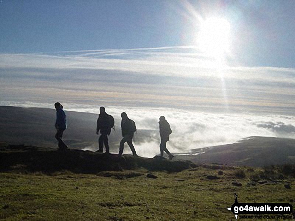
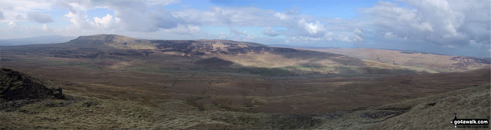
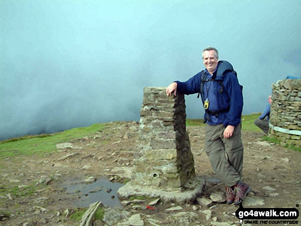
At the top of Ingleborough - with Whernside (left) and Pen-y-ghent (right) in the distance. The Yorkshire 3 Peaks Challenge Walk completed!
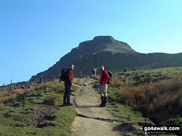
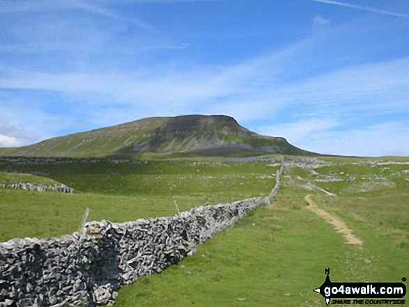


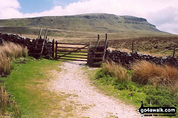
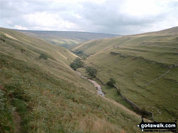

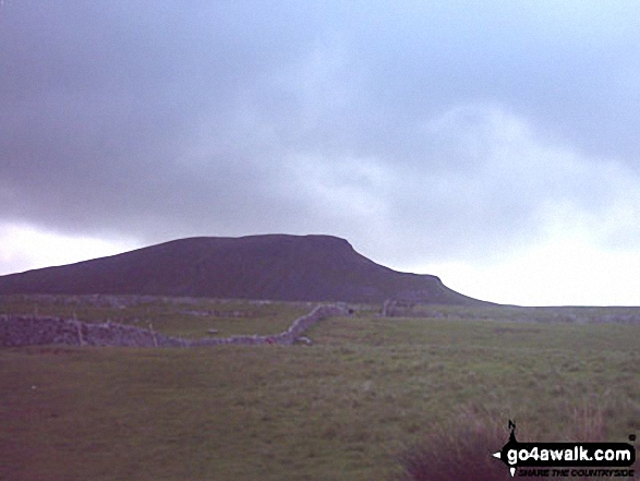
The Yorkshire Three Peaks Challenge - approaching Pen-y-ghent from Brackenbottom
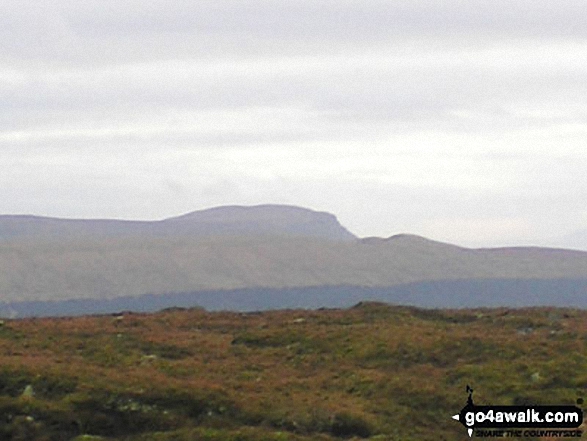
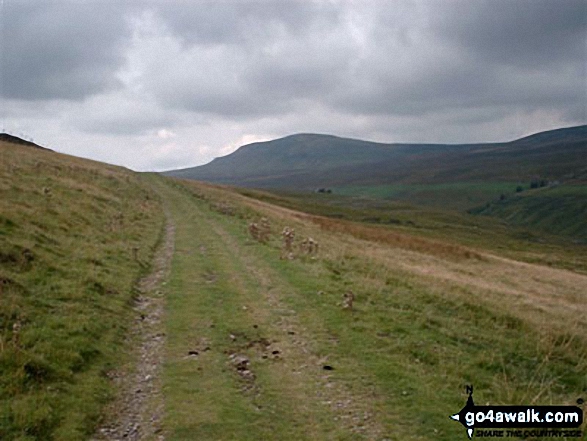
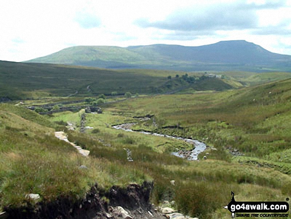
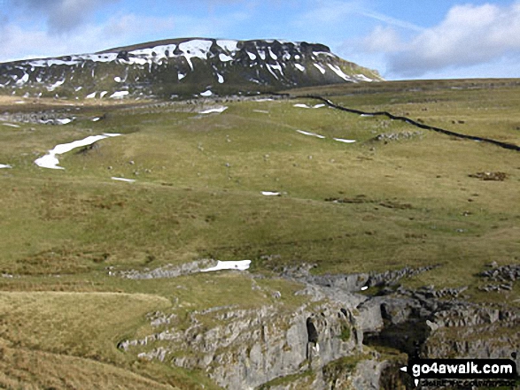
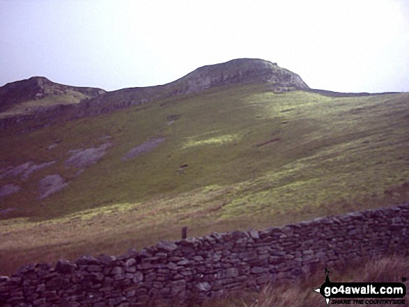
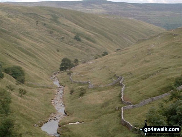
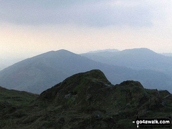
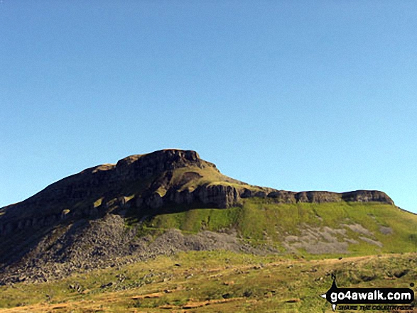
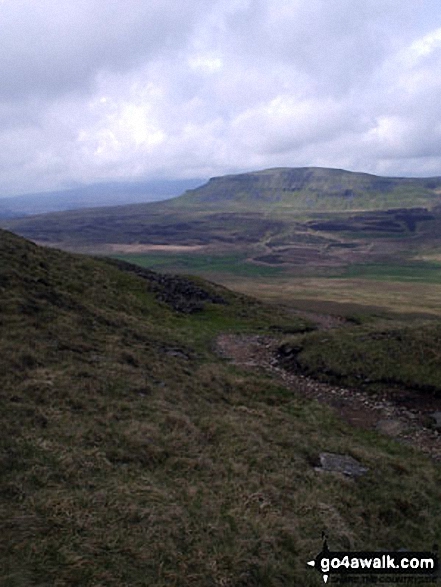
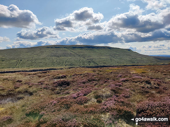
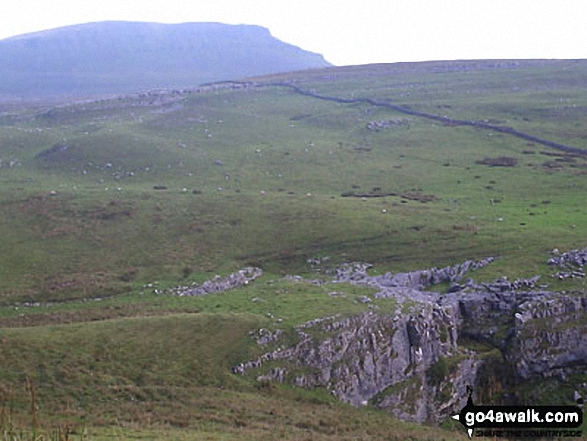
Plover Hill (centre) and Pen-y-ghent (right) from High Green Field Knott
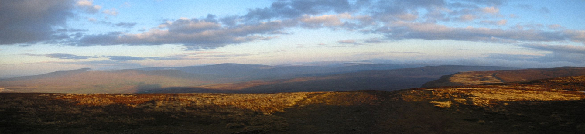
The Yorkshire Three Peaks - Ingleborough (left), Pen-y-ghent (centre) and Whernside (right) from the summit of Fountains Fell
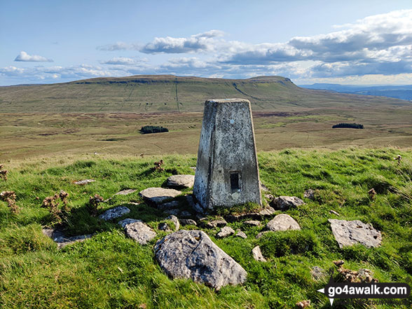
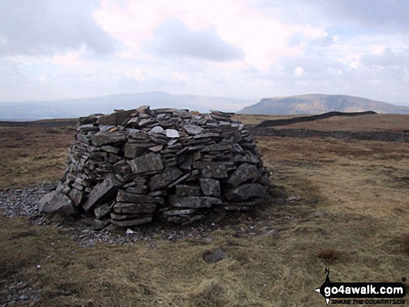
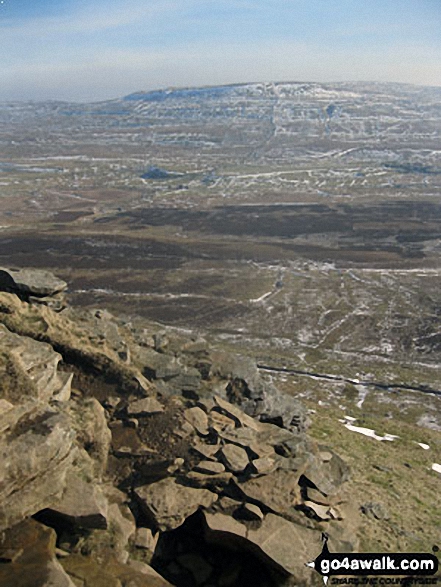
Trig Point on High Green Field Knott with Plover Hill and Pen-y-ghent in the background
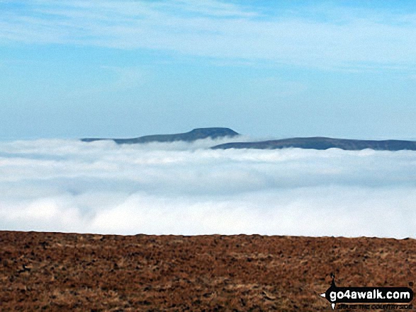
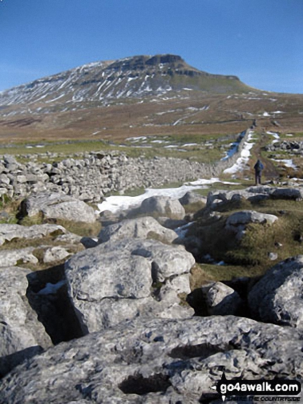
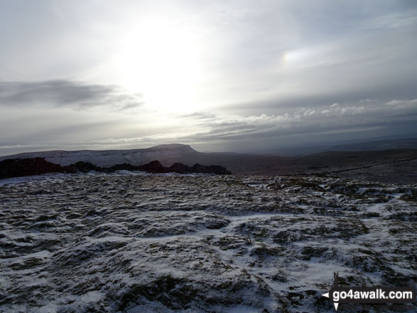
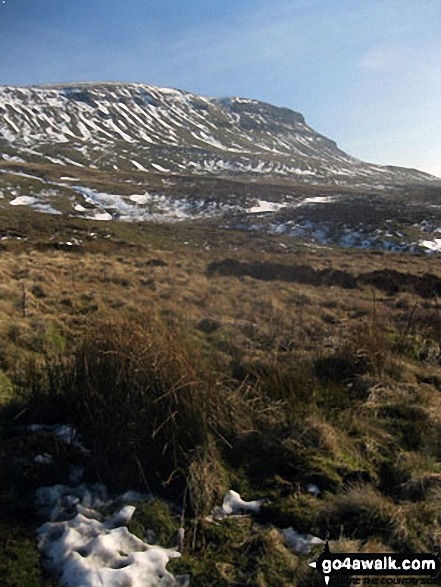
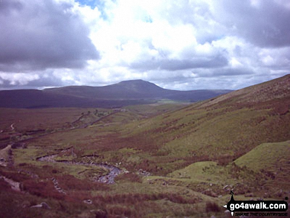
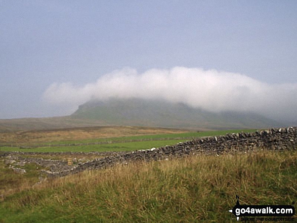
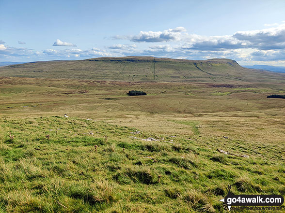
Ingleborough and Simon Fell as seen from Pen-y-Ghent during temperature inversion
. . . see just 20 walk photographs & pictures of views from, on or of Pen-y-ghent
Send us your photographs and pictures on, of, or from Pen-y-ghent
If you would like to add your walk photographs and pictures featuring views from, on or of Pen-y-ghent to this page, please send them as email attachments (configured for any computer) along with your name to:
and we shall do our best to publish them.
(Guide Resolution = 300dpi. At least = 660pixels (wide) x 440 pixels (high).)

You can also submit photos via our Facebook Page.
NB. Please indicate where each photo was taken and whether you wish us to credit your photos with a Username or your First Name/Last Name.
Not familiar with this top?


