
![]()
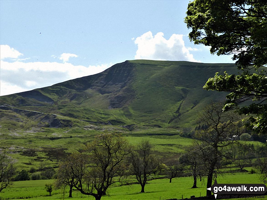
Mam Tor
517m (1696ft)
The Dark Peak Area, The Peak District, Derbyshire, England
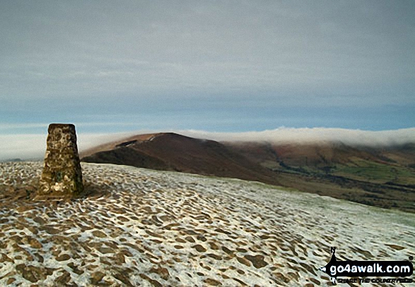
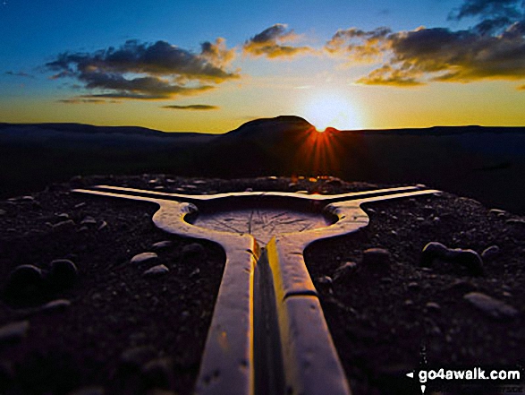
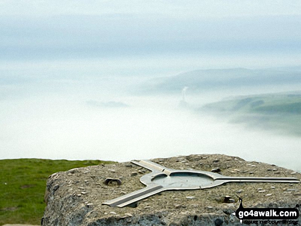
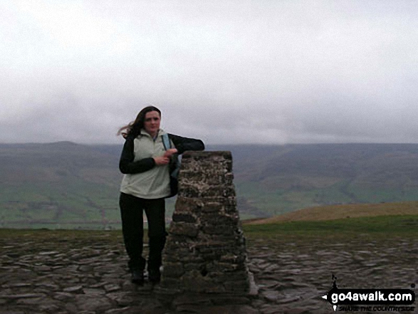
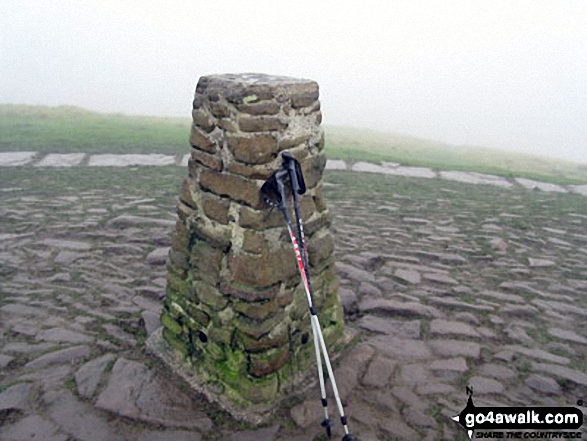
The summit of Mam Tor is marked by an Ordnance Survey Trig Point.
Not familiar with this top?
   |
|---|
Vital Statistics:
| Length: | 3ml (5km) |
|---|---|
| Ascent: | 951ft (290m) |
| Time: | 2 hrs |
| Grade: |  (Easy) (Easy) |
Route Summary:
Edale - Small Clough - Hardenclough Farm - Greenlands - Mam Tor - Hollins Cross - Hollins - The Vale of Edale - Edale
|
|---|
Vital Statistics:
| Length: | 6ml (9.5km) |
|---|---|
| Ascent: | 1,887ft (575m) |
| Time: | 4 hrs |
| Grade: |  (Moderate) (Moderate) |
Route Summary:
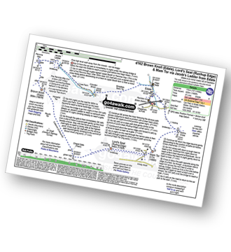
Castleton - The Limestone Way - Peveril Castle - Cave Dale - Old Moor - Rowter Farm - Windy Knoll - Mam Tor - Hollins Cross - Backtor Nook - Castleton
|
|---|
Vital Statistics:
| Length: | 9.25ml (15km) |
|---|---|
| Ascent: | 1,919ft (585m) |
| Time: | 5.25hrs |
| Grade: |  (Moderate) (Moderate) |
Route Summary:
Edale - Upper Booth - Highfield Farm - Tagsnaze Farm - The Orchard Farm - Dalehead Bunkhouse - Whitemoor Clough - Chapel Gate (Track) - Rushupp Edge - Lord's Seat (Rushup Edge) - Mam Tor - Hollins Cross - Backtor Nook - Backtor Farm - Backtor Bridge - Woodhouse Farm - The Vale of Edale - Cotefield Farm - Ollerbrook Booth - Edale
|
|---|
Vital Statistics:
| Length: | 10.5ml (17km) |
|---|---|
| Ascent: | 1,986ft (605m) |
| Time: | 5.75hrs |
| Grade: | (Moderate) |
Route Summary:
Edale - The Pennine Way - Upper Booth - Jacob's Ladder (Edale) - Brown Knoll (Edale) - Colborne (Colbourne) - Chapel Gate Track - Lord's Seat (Rushup Edge) - Mam Tor - Hollins Cross - Edale
|
|---|
Vital Statistics:
| Length: | 11.5ml (18.5km) |
|---|---|
| Ascent: | 2,001ft (610m) |
| Time: | 6 hrs |
| Grade: | (Moderate) |
Route Summary:
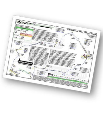
Castleton - The Limestone Way - Cave Dale - Perry Dale - Sparrowpit - Rushup Farm - Rushup Hall - Rushup Edge - Lord's Seat (Rushup Edge) - Mam Tor - Hollins Cross - Backtor Nook - Castleton
See Mam Tor and the surrounding tops on our free-to-access 'Google Style' Peak Bagging Maps:
The Dark Peak Area of The Peak District National Park
Less data - quicker to download
See Mam Tor and the surrounding tops on our downloadable Peak Bagging Map in PDF format:

NB: Whether you print off a copy or download it to your phone, this PDF Peak Baggers' Map might prove incredibly useful when your are up there on the tops and you cannot get a phone signal.
You can find Mam Tor & all the walks that climb it on these unique free-to-access Interactive Walk Planning Maps:
1:25,000 scale OS Explorer Map (orange/yellow covers):
1:50,000 scale OS Landranger Map (pink/magenta covers):
 Fellow go4awalkers who have already walked, climbed, summited & bagged Mam Tor
Nick Tippins walked up Mam Tor on February 16th, 2020 [with] Fran
David Peebles climbed Mam Tor on March 30th, 2024 [from/via/route] In layby [with] Solo [weather] Great sunny evening walk - Great walk.
Ruth Mcfarlane bagged Mam Tor during August, 2020 [from/via/route] Edale [with] Virtual JMMC
hannah1507 hiked Mam Tor on April 7th, 2023 [from/via/route] d162 Brown Knoll (Edale), Lord's Seat (Rushup Edge) & Mam Tor via Jacob's Ladder from Edale [with] Solo
Nina Adams summited Mam Tor on July 25th, 2021 [from/via/route] Castleton - Little Mam Tor - mam Tor - Hollins Cross - Barker Bank - Brockett Booth Plantation - Lose Hill - Losehill End - Townhead bridge - Hope - Castleton [with] Craig [weather] Sunny 28°C
Shirley Philips has conquered Mam Tor [from/via/route] Castleton Cave Dale
Darin Torrance scaled Mam Tor on January 13th, 2022 [from/via/route] Reservoir [with] Moose [weather] rain windy - 8 mile circular walk
Patrick Molloy walked up Mam Tor on November 17th, 2020 [from/via/route] Parked at Mam Tor Car Park out & back to Lose Hill [with] Nadia [weather] Cool Cloudy slight drizzle
Jim Sallis climbed Mam Tor on April 12th, 2021 [weather] Snowed previous day
Ian Mackenzie bagged Mam Tor on July 10th, 2012 [from/via/route] Castleton [with] Me, myself and I [weather] All weathers - Been up here so many times I've lost count!
To add (or remove) your name and experiences on this page - Log On and edit your Personal Mountain Bagging Record
. . . [see more walk reports]
More Photographs & Pictures of views from, on or of Mam Tor
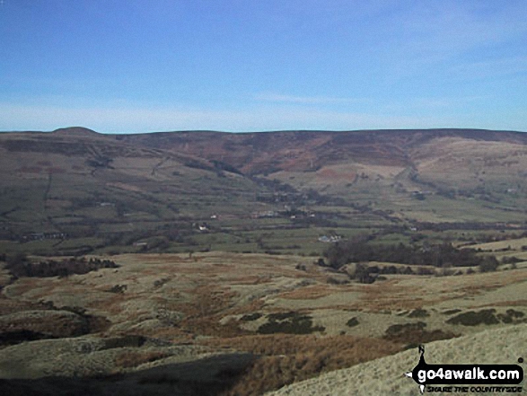
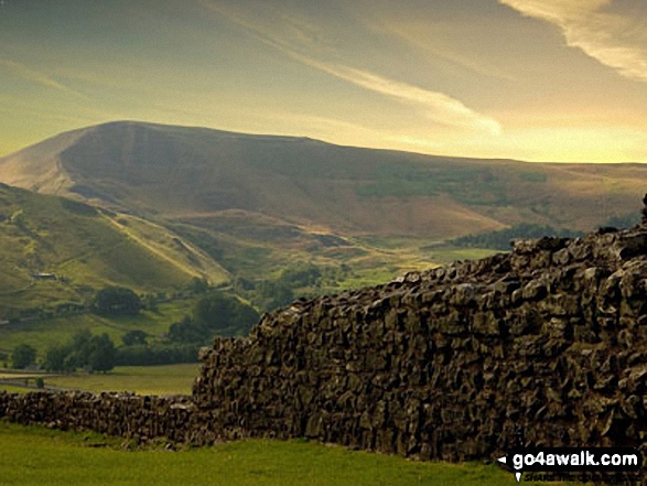
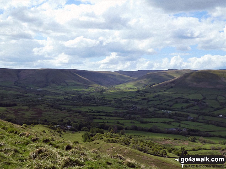
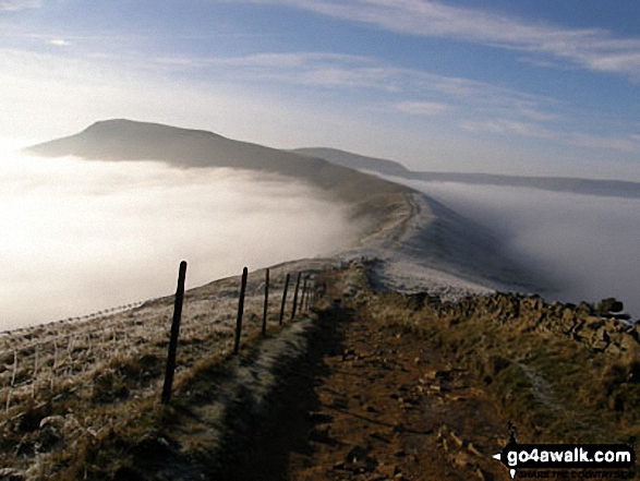
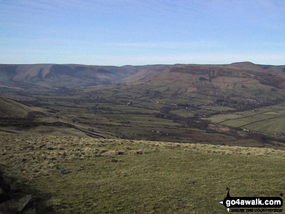
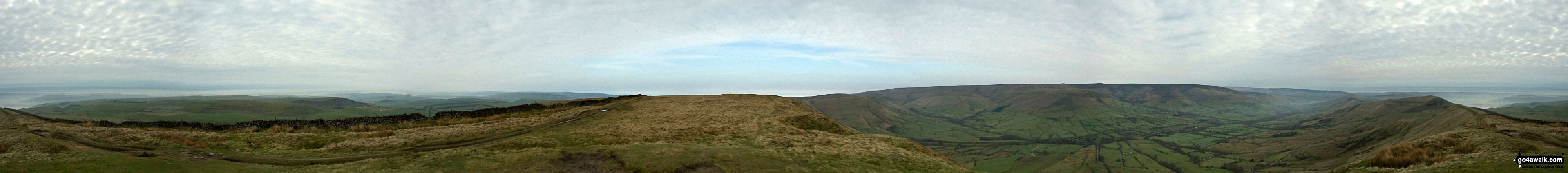
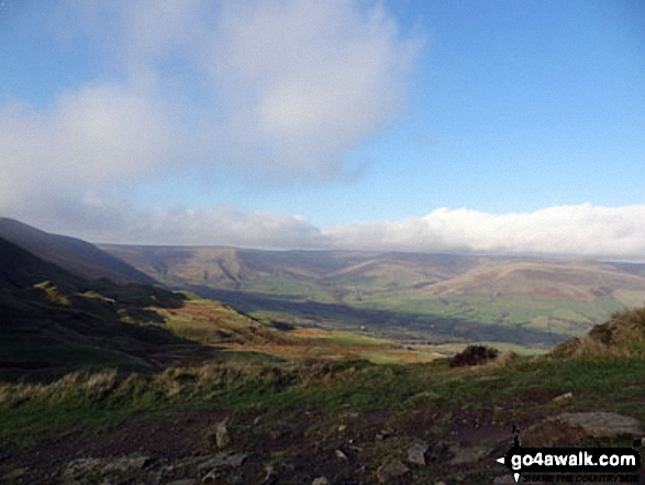
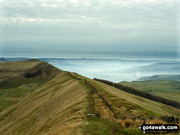
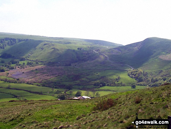
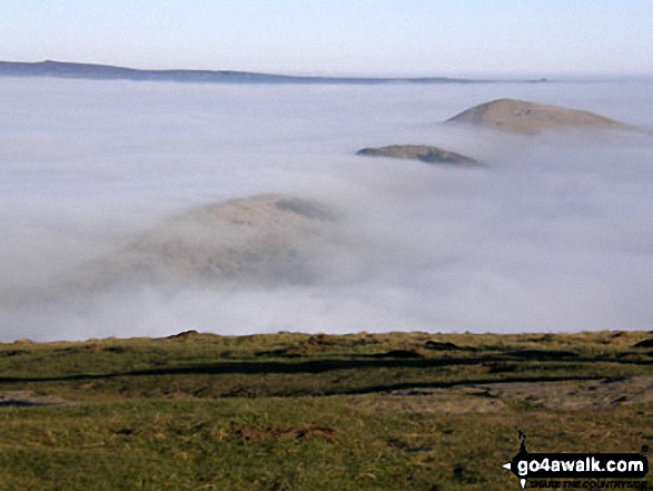
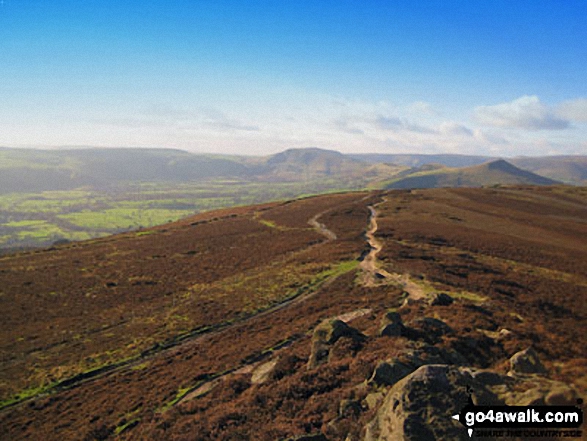
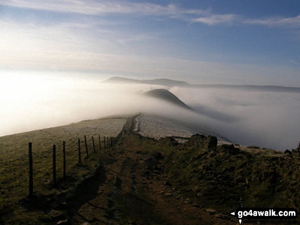
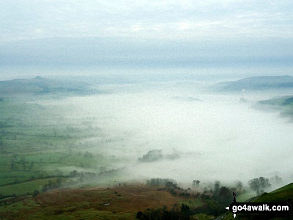
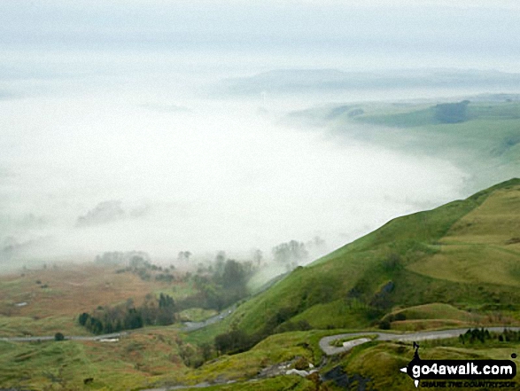
The Great Ridge - Lord's Seat (Rushup Edge), Rushup Edge, Kinder Scout, The Vale of Edale, Edale, Hollins Cross, Back Tor (Hollins Cross), Lose Hill (Ward's Piece), Hope and Castleton under the mist from Mam Tor
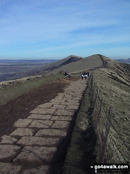
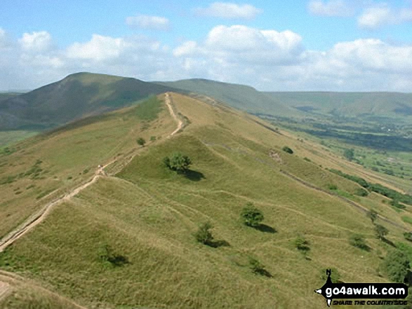
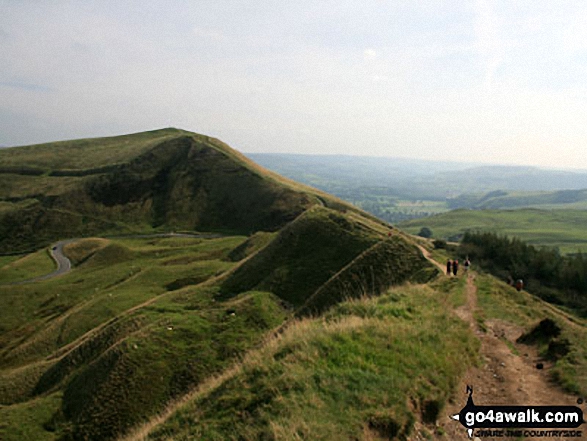
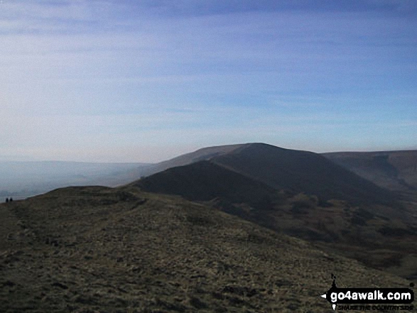
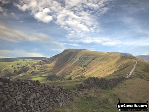
Hollins Cross, Back Tor (Hollins Cross) and Lose Hill (Ward's Piece) from Mam Tor
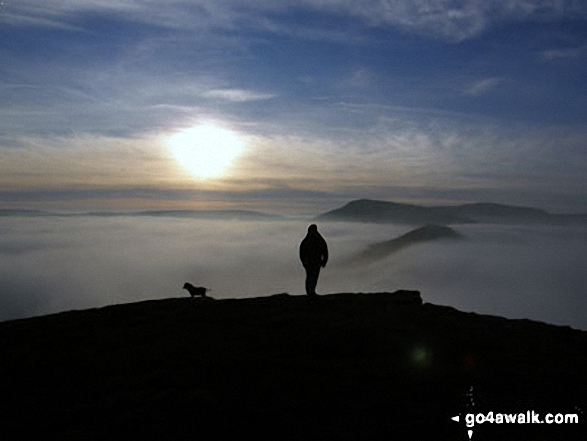
On Lose Hill (Ward's Piece) with Back Tor (Hollins Cross) and Mam Tor beyond during a winter temperature inversion
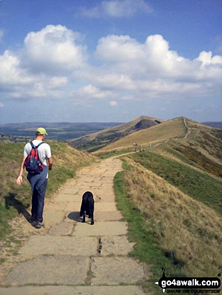
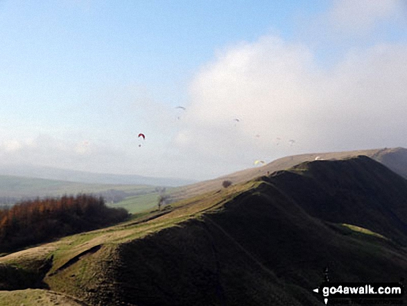
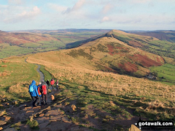
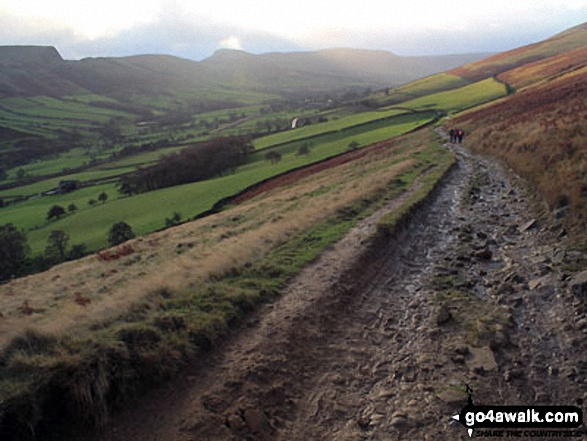
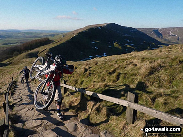
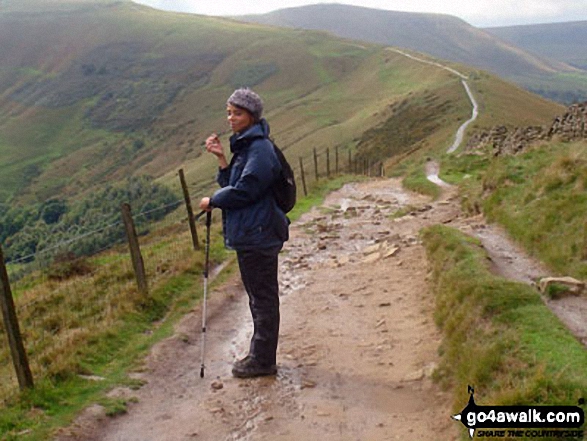
One man and his dog, a gorgeous day walking from Mam Tor to Hollins Cross
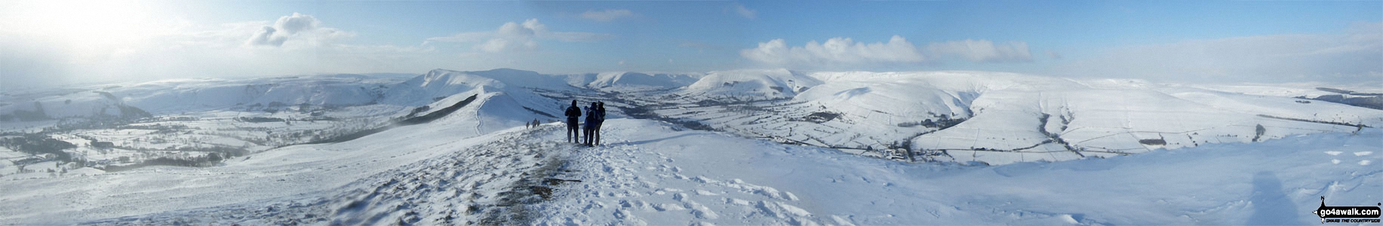
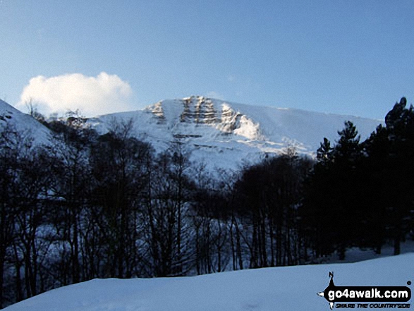
The Hope Valley (left), Mam Tor, The Vale of Edale and Kinder Scout (right) from Lose Hill (Ward's Piece) in arctic snow conditions
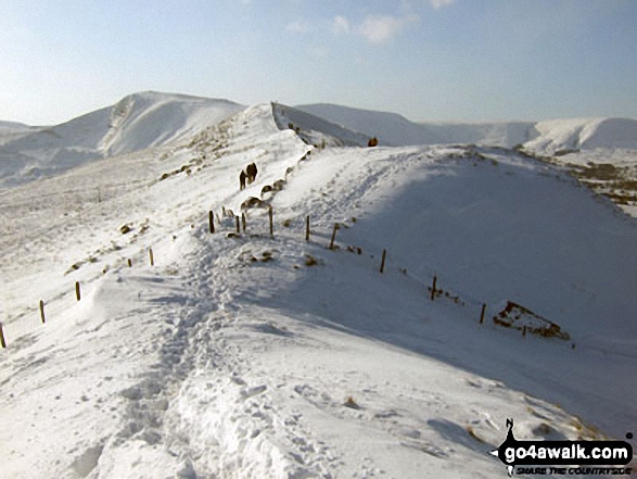
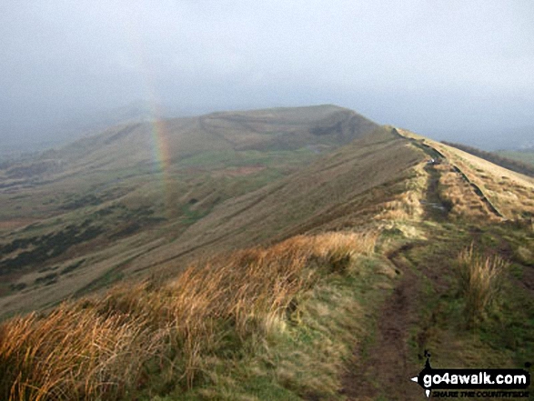
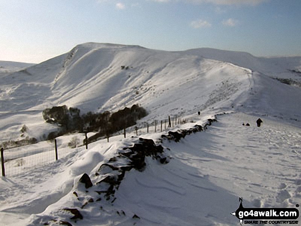
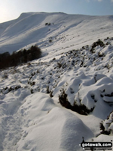
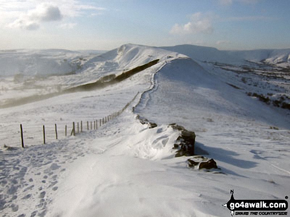
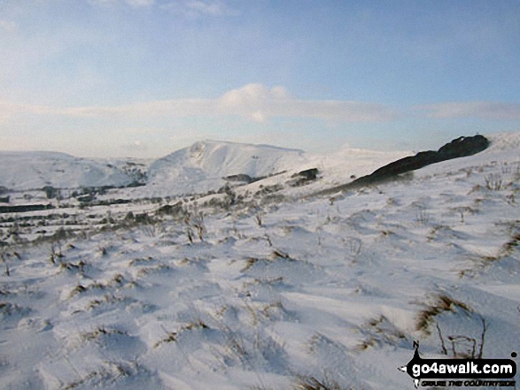
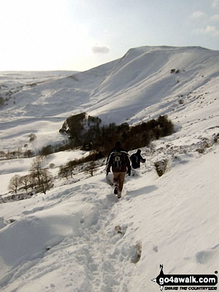
Walking the ridge towards Mam Tor in deep snow between Back Tor (Hollins Cross) and Hollins Cross
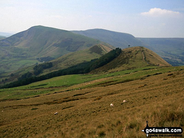
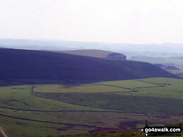
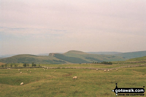
Kinder Scout, Mam Tor and Lose Hill (Ward's Piece) from Burton Bole End (Abney Moor)
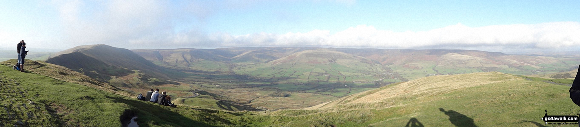
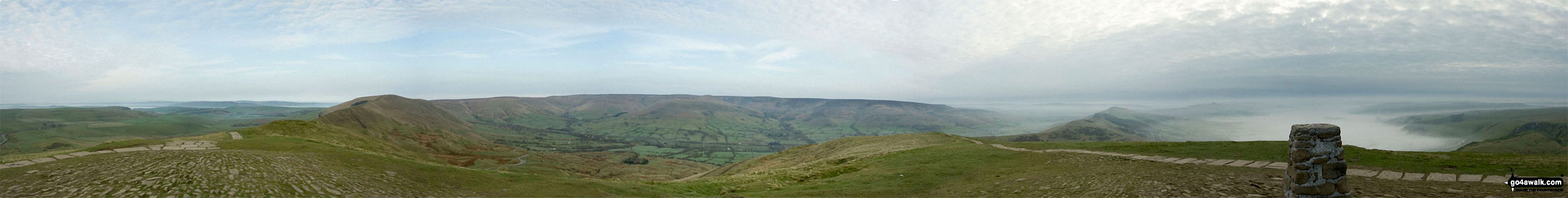
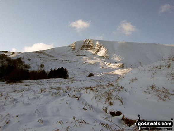
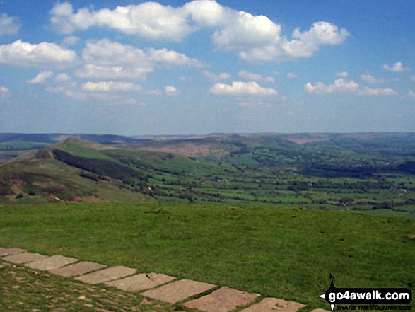
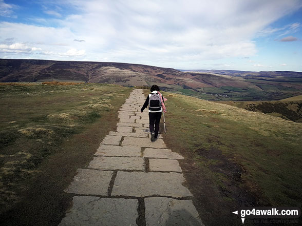
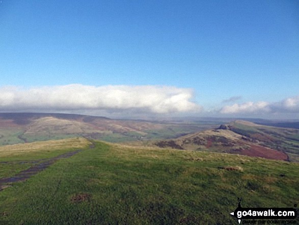
Lord's Seat (Rushup Edge) (left), Brown Knoll, Kinder Scout and The Vale of Edale from the summit of Mam Tor
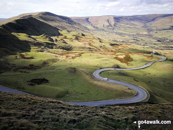
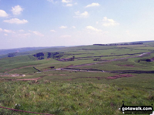
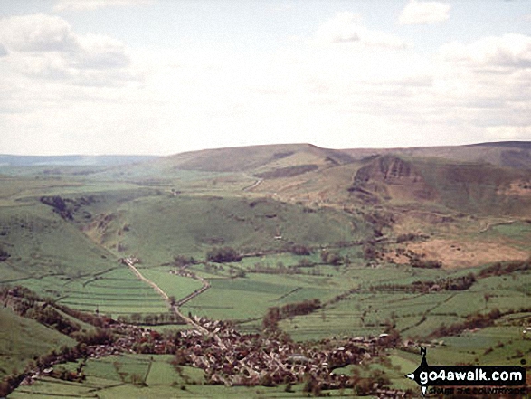
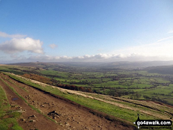
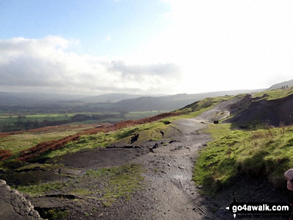
The road winding its way down to Edale from Mam Tor with Lord's Seat (Rushup Edge) (left) and Kinder Scout in the distance
Hollins Cross, Barker Bank, Backtor Nook, Back Tor (Hollins Cross) and Lose Hill (Ward's Piece) from Mam Tor
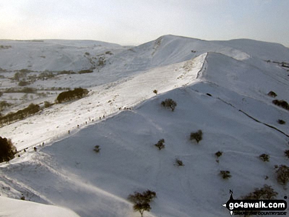
Mam Tor and Hollins Cross in deep snow from the summit of Back Tor (Hollins Cross)
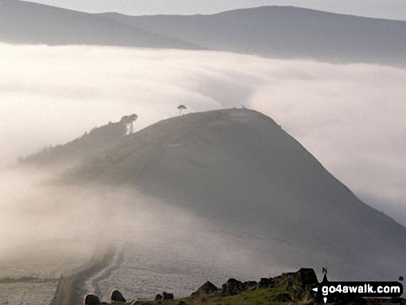
Back Tor (Hollins Cross) from Lose Hill (Ward's Piece) with Mam Tor and Lord's Seat (Rushup Edge) beyond during a winter temperature inversion
The High Peak District, Eldon Hill, Chapel-en-le-Frith, Rushup Edge, Kinder Scout, The Vale of Edale, Edale, Mam Tor, Hollins Cross, Back Tor (Hollins Cross) and Lose Hill (Ward's Piece) from Lord's Seat (Rushup Edge)
Aerial Shot of Castleton with Winnats Pass and Lord's Seat (Mam Tor) and Mam Tor
Mam Tor, Hollins Cross, Back Tor (Hollins Cross) in deep snow on the Lose Hill (Ward's Piece) ridge
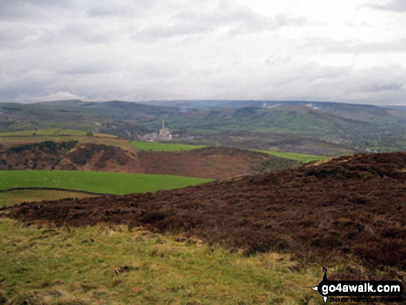
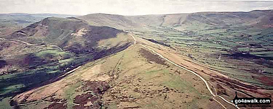
Castleton, Hope and The Hope Valley from the ridge between Mam Tor and Hollins Cross
Heading towards Hollins Cross, Back Tor (Hollins Cross) and Lose Hill (Ward's Piece)
Mam Tor (centre left) from the upper slopes of Lose Hill (Ward's Piece) in heavy snow
The Great Ridge - Rushup Edge, Mam Tor, Hollins Cross, Back Tor (Hollins Cross) and Lose Hill (Ward's Piece) from Lord's Seat (Rushup Edge)
Hollins Cross, Mam Tor and Lord's Seat (Rushup Edge) from Back Tor (Hollins Cross)
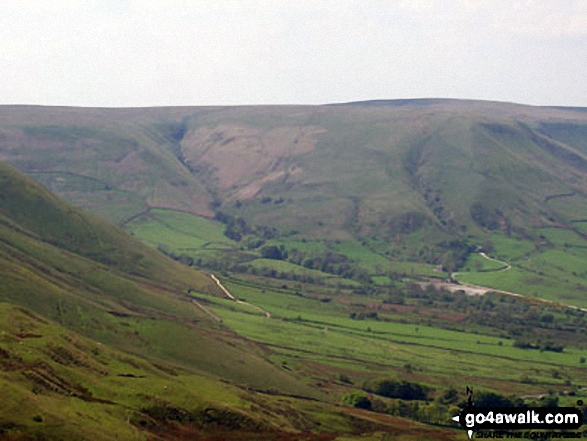
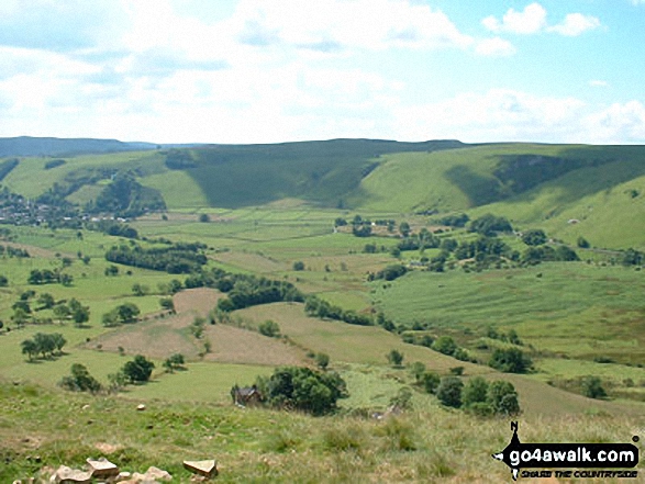
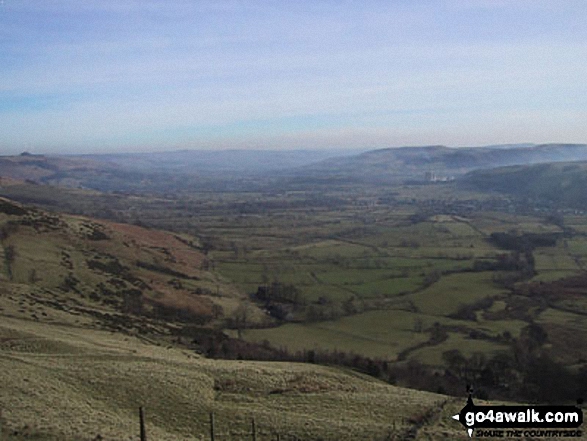
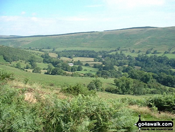
Mam Tor, Hollins Cross and Back Tor (Hollins Cross) from Nether Booth in The Vale of Edale
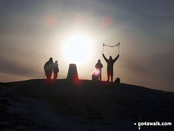
Hollins Cross, Back Tor (Hollins Cross) and Lose Hill (Ward's Piece) from Mam Tor during a temperature inversion
The Vale of Edale with Mam Tor (centre) and Lose Hill (Ward's Piece) in the distance from Winhill Pike (Win Hill)
Mam Tor, and Back Tor (Hollins Cross) from Lose Hill (Ward's Piece) Tree on Back Tor (Hollins Cross) from Hollins Cross during a winter temperature inversion
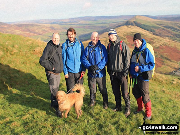
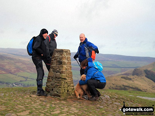
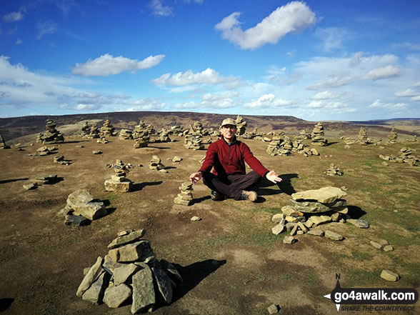
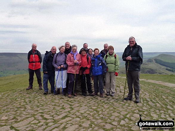
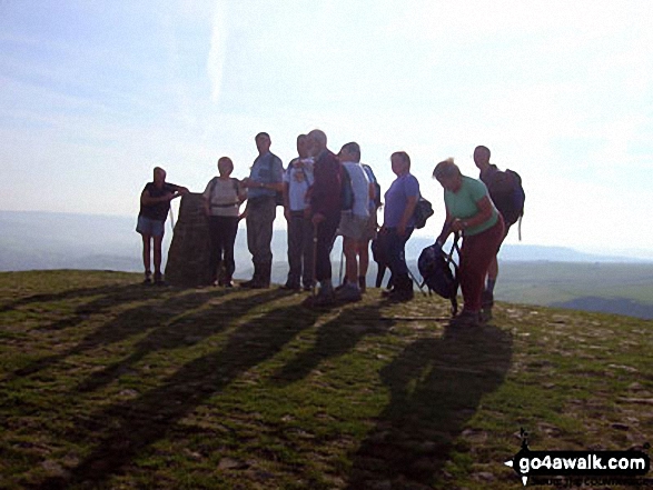
Mozzer, Rob, Jimbles, Big Truck and me on the Hollins Cross ridge below summit of Mam Tor
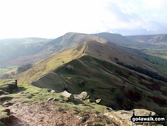
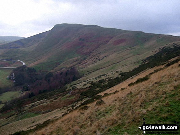
On the path between Back Tor (Hollins Cross) and Hollins Cross itself with Mam Tor (left) and Lord's Seat (Rushup Edge) in the background
Alport Moor (left) and Hollins Cross, Back Tor (Hollins Cross) and Lose Hill (Ward's Piece) (right) from the summit of Mam Tor
. . . see just 20 walk photographs & pictures of views from, on or of Mam Tor
Send us your photographs and pictures on, of, or from Mam Tor
If you would like to add your walk photographs and pictures featuring views from, on or of Mam Tor to this page, please send them as email attachments (configured for any computer) along with your name to:
and we shall do our best to publish them.
(Guide Resolution = 300dpi. At least = 660pixels (wide) x 440 pixels (high).)

You can also submit photos via our Facebook Page.
NB. Please indicate where each photo was taken and whether you wish us to credit your photos with a Username or your First Name/Last Name.
Not familiar with this top?


