
![]()
High Park
247m (810ft)
Cumbria, England
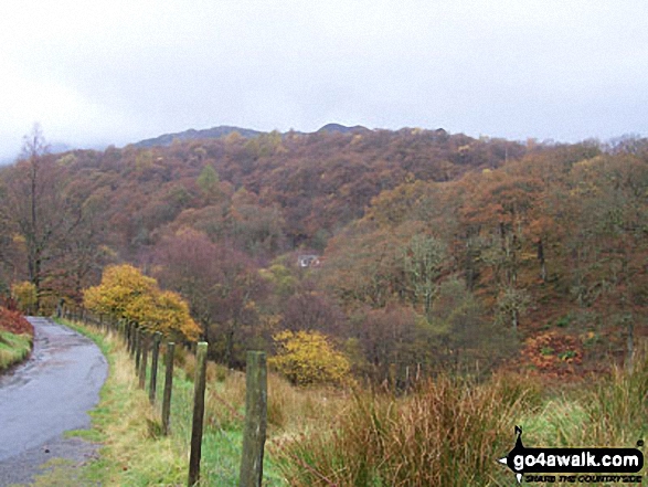
The summit of High Park is marked by an Ordnance Survey Trig Point.

Not familiar with this top?
   |
|---|
Vital Statistics:
| Length: | 5.5ml (9km) |
|---|---|
| Ascent: | 893ft (272m) |
| Time: | 3 hrs |
| Grade: |  (Easy) (Easy) |
Route Summary:
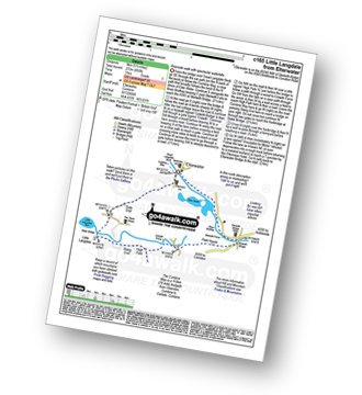
Elterwater - The Cumbria Way - Elter Water - Skelwith Force - River Brathay - Skelwith Bridge - Low Park - High Park - High Colwith - Colwith Force - Stang End - Little Langdale - Slater Bridge - Little Langdale Tarn - Dale End - Elterwater
You can find High Park & all the walks that climb it on these unique free-to-access Interactive Walk Planning Maps:
1:25,000 scale OS Explorer Maps (orange/yellow covers):
An Interactive Walk Planning Map for OS Explorer 303 Whitehaven & Workington, Cockermouth & Egremont is not currently available
1:50,000 scale OS Landranger Map (pink/magenta covers):
 Fellow go4awalkers who have already walked, climbed, summited & bagged High Park
To add (or remove) your name and experiences on this page - Log On and edit your Personal Mountain Bagging Record
More Photographs & Pictures of views from, on or of High Park
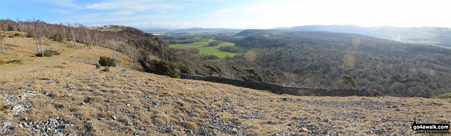
Arnside Knott, Upper Allithwaite and High Park Wood from above Black Yews Scar, Whitbarrow Scar
Send us your photographs and pictures on, of, or from High Park
If you would like to add your walk photographs and pictures featuring views from, on or of High Park to this page, please send them as email attachments (configured for any computer) along with your name to:
and we shall do our best to publish them.
(Guide Resolution = 300dpi. At least = 660pixels (wide) x 440 pixels (high).)

You can also submit photos via our Facebook Page.
NB. Please indicate where each photo was taken and whether you wish us to credit your photos with a Username or your First Name/Last Name.
Not familiar with this top?


