
![]()
Slieve Donard (Sliabh Donairt)
850m (2789ft)
County Down, Northern Ireland
Not familiar with this top?
 Fellow go4awalkers who have already walked, climbed, summited & bagged Slieve Donard (Sliabh Donairt)
To add (or remove) your name and experiences on this page - Log On and edit your Personal Mountain Bagging Record
More Photographs & Pictures of views from, on or of Slieve Donard (Sliabh Donairt)
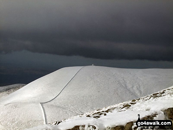
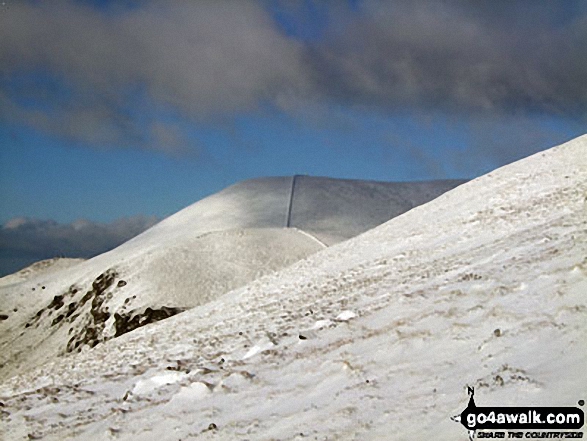
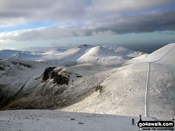
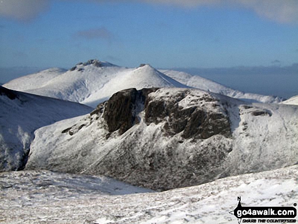
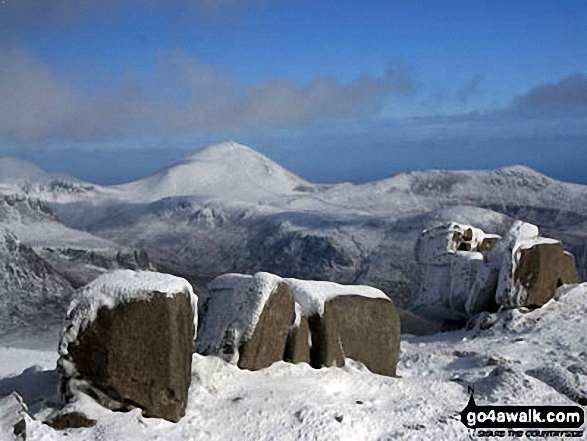
Slieve Commedagh with dark clouds threatening from the shelter on top from Slieve Donard (Sliabh Donairt)
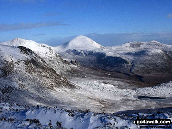
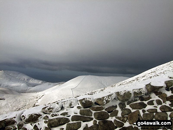
Cove Mountain with Slieve Binnian in the distance from Slieve Donard (Sliabh Donairt)
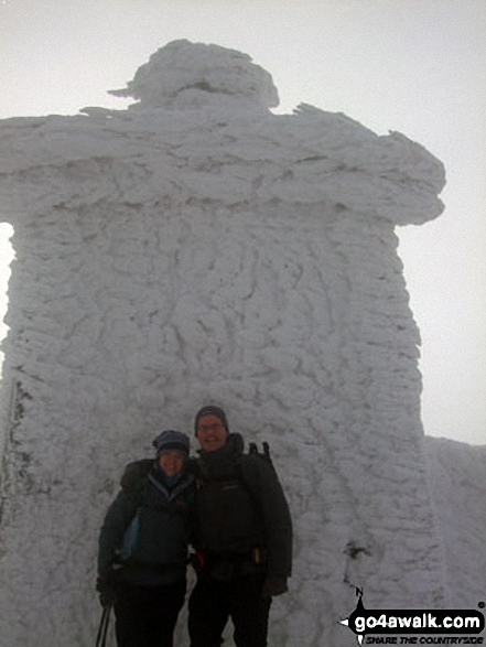
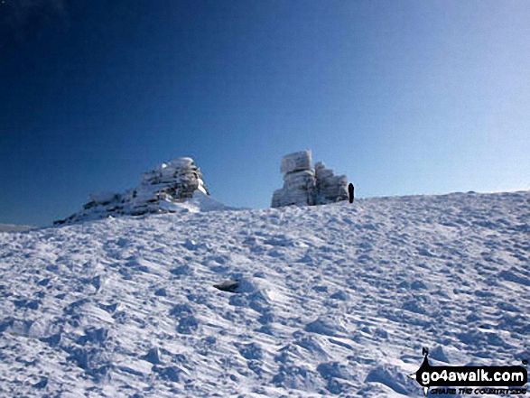
Slieve Commedagh from the shelter on top from Slieve Donard (Sliabh Donairt)
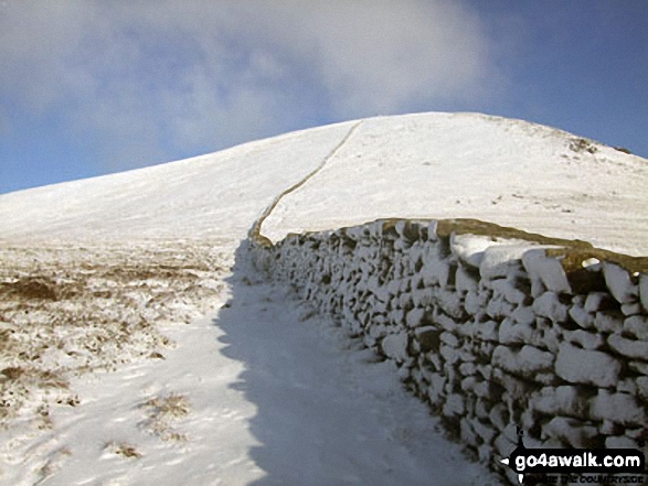
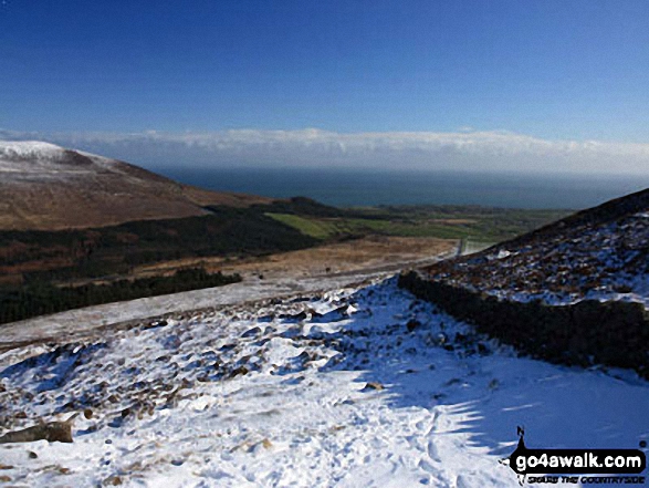
The route to Slieve Donard (Sliabh Donairt) from the Brandy Pad at the top of the path from Bloody Bridge
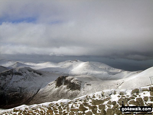
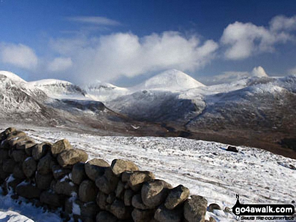
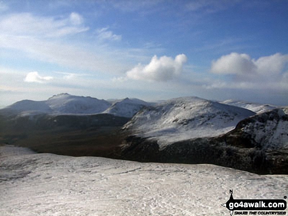
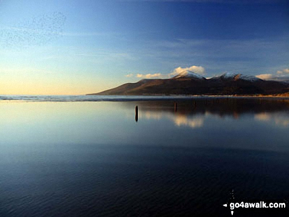
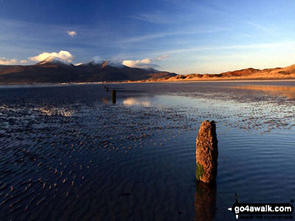
The Mourne Mountains Range from the southern slope of Slieve Donard (Sliabh Donairt)
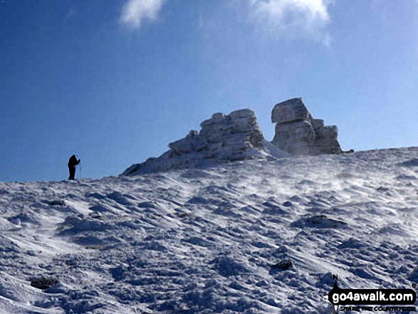
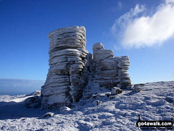
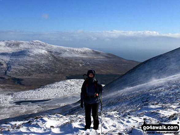
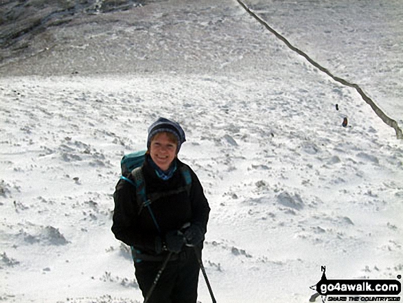
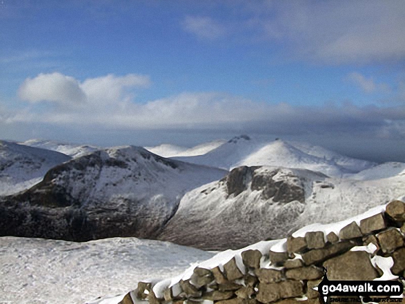
Looking up to the summit of Slieve Donard (Sliabh Donairt) in the snow
. . . see all 24 walk photographs & pictures of views from, on or of Slieve Donard (Sliabh Donairt)
Send us your photographs and pictures on, of, or from Slieve Donard (Sliabh Donairt)
If you would like to add your walk photographs and pictures featuring views from, on or of Slieve Donard (Sliabh Donairt) to this page, please send them as email attachments (configured for any computer) along with your name to:
and we shall do our best to publish them.
(Guide Resolution = 300dpi. At least = 660pixels (wide) x 440 pixels (high).)

You can also submit photos via our Facebook Page.
NB. Please indicate where each photo was taken and whether you wish us to credit your photos with a Username or your First Name/Last Name.
Not familiar with this top?


