
![]()
Carling Knott
544m (1785ft)
The Western Fells, The Lake District, Cumbria, England
Tap/mouse over a coloured circle (1-3 easy walks, 4-6 moderate walks, 7-9 hard walks) and click to select.
You can find Carling Knott & all the walks that climb it on these unique free-to-access Interactive Walk Planning Maps: (click/TAP to select)
1:25,000 scale OS Explorer Map (the ones with orange/yellow covers):
1:50,000 scale OS Landranger Map (the ones with pink/magenta covers):
See Carling Knott and the surrounding tops on our free-to-access 'Google Style' Peak Bagging Maps:
See Carling Knott and the surrounding tops on our downloadable PDF Peak Bagging Maps:
*Walk & bag all 33 Wainwrights in The Western Fells area of The Lake District in just 10 easy-to-follow circular walks.
*This version is marked with the walk routes you need to follow to Walk all 214 Wainwrights in just 59 walks. Click here for more information.
NB: Whether you print off a copy on to paper or download it to your phone, these PDF Peak Baggers Maps will prove incredibly useful when your are up there on the tops and you cannot get a phone signal!
 Fellow go4awalkers who have already walked, climbed, summited & bagged Carling Knott
Paul Macey walked up Carling Knott on July 25th, 2022 [from/via/route] C212 [with] Luke
Christine Shepherd climbed Carling Knott on September 5th, 2018 [from/via/route] Loweswster [with] On my own [weather] Lovely walking weather - Brilliant views from this summit. Wish I'd done it when I last did Burn bank Fell.
Mark Davidson bagged Carling Knott on April 20th, 2004 [with] Mike [weather] Clear with high cloud
Patrick Rogozinski, Clare Houlihan and Louise Sandwith have all walked, climbed & bagged Carling Knott.To add (or remove) your name and experiences on this page - Log On and edit your Personal Mountain Bagging Record
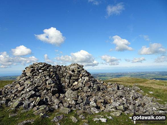
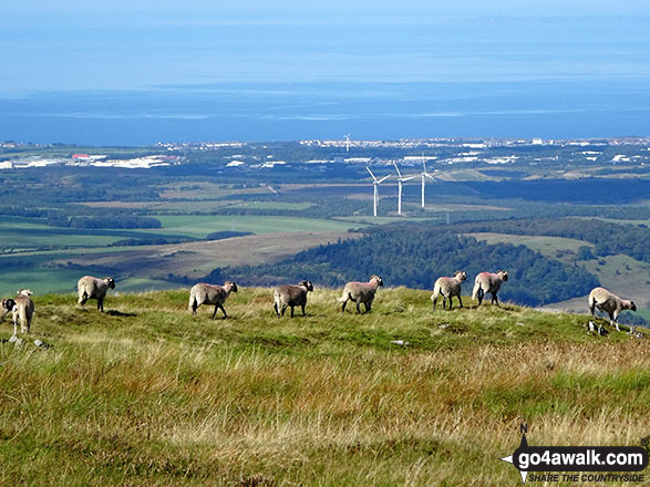
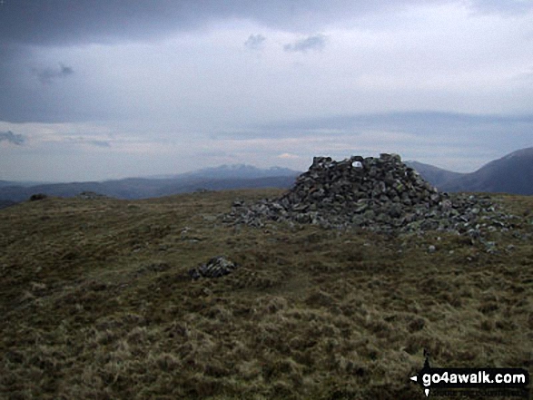
More Photographs & Pictures of views from, on or of Carling Knott
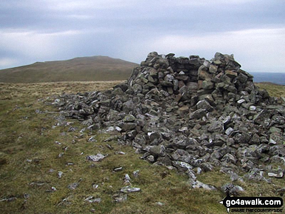
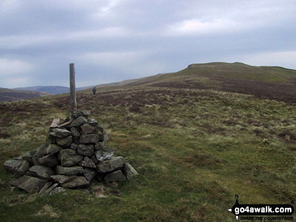
The cairn on the North West end of the Carling Knott ridge with Whiteside (Crummock), Grasmoor, Crummock Water and Mellbreak beyond
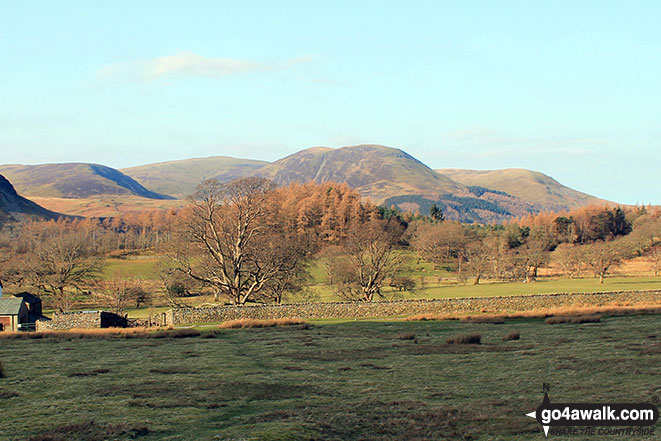
Gavel Fell (left), Blake Fell, Carling Knott and Burnbank Fell from Lanthwaite Green
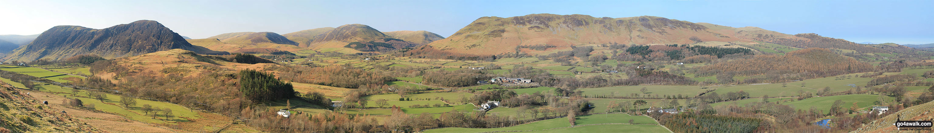
Mellbreak, Mellbreak (North Top), Gavel Fell, Blake Fell, Carling Knott, Burnbank Fell and Loweswater Fell featuring Darling Fell, Low Fell and Fellbarrow from Lanthwaite Green
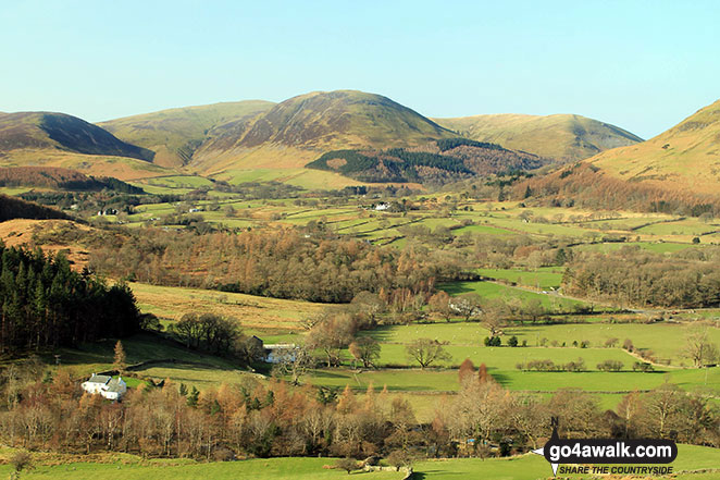
Gavel Fell, Blake Fell, Carling Knott, Burnbank Fell from Lanthwaite Green
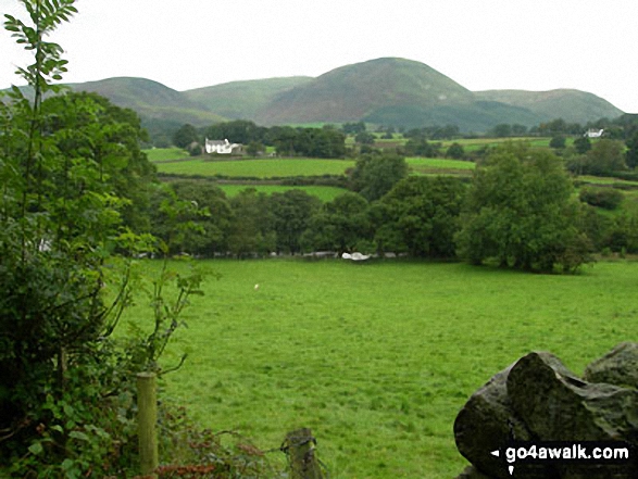
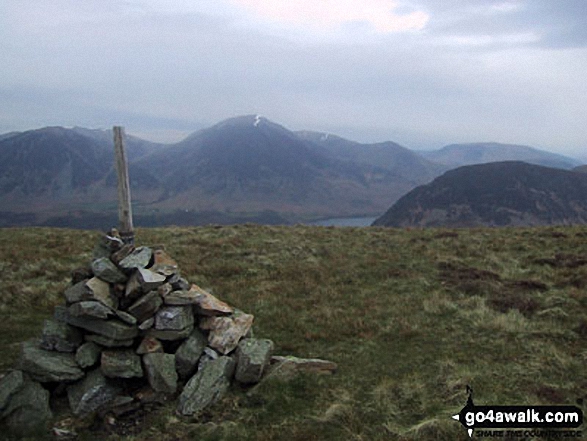
Hen Comb (left), Gavel Fell, Carling Knott and Burnbank Fell (right) from Scale Hill, Loweswater
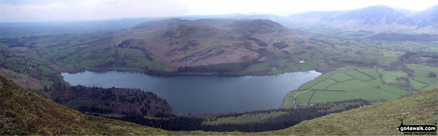
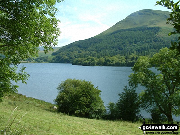
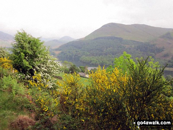
Loweswater from the cairn on the North West end of the Carling Knott ridge
Send us your photographs and pictures on, of, or from Carling Knott
If you would like to add your walk photographs and pictures featuring views from, on or of Carling Knott to this page, please send them as email attachments (configured for any computer) along with your name to:
and we shall do our best to publish them.
(Guide Resolution = 300dpi. At least = 660pixels (wide) x 440 pixels (high).)

You can also submit photos via our Facebook Page.
NB. Please indicate where each photo was taken.


