
![]()
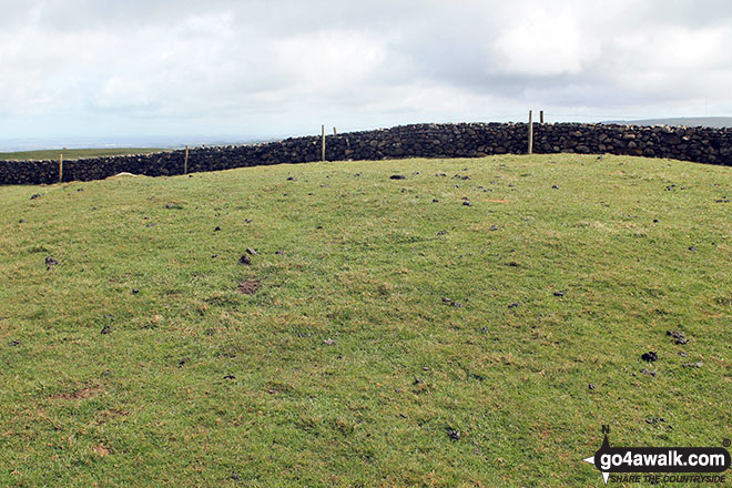
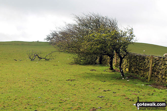
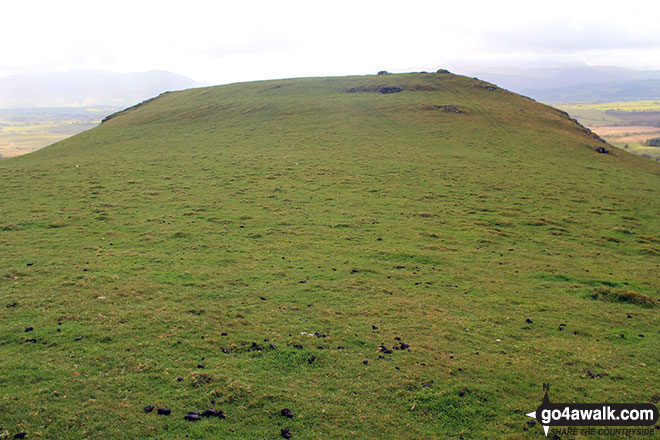
St. John's Hill (Caermote Hill)
285m (935ft)
The Northern Fells, The Lake District, Cumbria, England
Not familiar with this top?
   |
|---|
Vital Statistics:
| Length: | 5mls (8km) |
|---|---|
| Ascent: | 663ft (202m) |
| Time: | 2 hrs |
| Grade: |  (Easy) (Easy) |
Route Summary:
Bothel - Beck Farm - Borrowscale - The Battery - St. John's Hill (Caermote Hill) - Caermote Hill - Camp Hill - Caermote Roman Fort - Borrowscale - Bothel
See St. John's Hill (Caermote Hill) and the surrounding tops on our free-to-access 'Google Style' Peak Bagging Maps:
The Northern Fells of The Lake District National Park
Less data - quicker to download
The Whole of The Lake District National Park
More data - might take a little longer to download
See St. John's Hill (Caermote Hill) and the surrounding tops on our downloadable Peak Bagging Maps in PDF format:

NB: Whether you print off a copy or download it to your phone, these PDF Peak Baggers' Maps might prove incredibly useful when your are up there on the tops and you cannot get a phone signal.
*This version is marked with the walk routes you need to follow to Walk all 214 Wainwrights in just 59 walks.
You can find St. John's Hill (Caermote Hill) & all the walks that climb it on these unique free-to-access Interactive Walk Planning Maps:
1:25,000 scale OS Explorer Map (orange/yellow covers):
1:50,000 scale OS Landranger Map (pink/magenta covers):
 Fellow go4awalkers who have already walked, climbed, summited & bagged St. John's Hill (Caermote Hill)
Trevor Williams walked up St. John's Hill (Caermote Hill) on February 11th, 2022 [with] Paul, Barry & Trevor [weather] sun & cloud
Tracey Cowell climbed St. John's Hill (Caermote Hill) on December 3rd, 2017 [from/via/route] Bothel & St.Johns Hill (Caermote North Top) & Caermote Hill [with] Andrew Foster and Billy Foster
Christine Shepherd bagged St. John's Hill (Caermote Hill) on July 6th, 2016 [from/via/route] Walked from Bothel [with] On my own [weather] Overcast but dry - An easy enough walk if the cows let you through!
Mark Davidson hiked St. John's Hill (Caermote Hill) on May 2nd, 2016 [weather] Sunny spells but with a cold biting wind
Mark Purcell summited St. John's Hill (Caermote Hill) (North Top)) on June 9th, 2013 [with] SB
Paul Booth, Louise Sandwith and David Preston have all walked, climbed & bagged St. John's Hill (Caermote Hill).
To add (or remove) your name and experiences on this page - Log On and edit your Personal Mountain Bagging Record
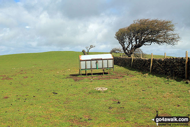
More Photographs & Pictures of views from, on or of St. John's Hill (Caermote Hill)
Send us your photographs and pictures on, of, or from St. John's Hill (Caermote Hill)
If you would like to add your walk photographs and pictures featuring views from, on or of St. John's Hill (Caermote Hill) to this page, please send them as email attachments (configured for any computer) along with your name to:
and we shall do our best to publish them.
(Guide Resolution = 300dpi. At least = 660pixels (wide) x 440 pixels (high).)

You can also submit photos via our Facebook Page.
NB. Please indicate where each photo was taken and whether you wish us to credit your photos with a Username or your First Name/Last Name.
Not familiar with this top?


