
![]()
Black Hill (Quantocks)
358m (1174ft)
Exmoor, Somerset, England
Tap/mouse over a coloured circle (1-3 easy walks, 4-6 moderate walks, 7-9 hard walks) and click to select.
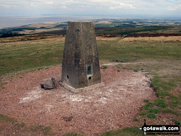
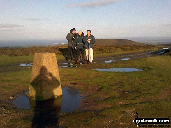
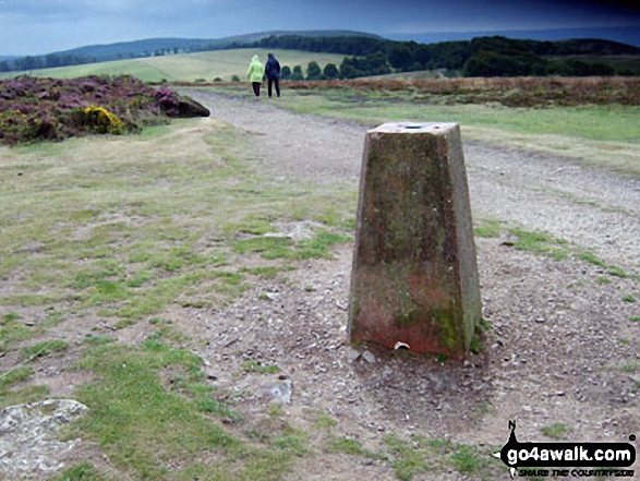
The summit of Black Hill (Quantocks) is marked by an Ordnance Survey Trig Point.
Not familiar with this top?
   |
|---|
Vital Statistics:
| Length: | 7.75ml (12.5km) |
|---|---|
| Ascent: | 1,264ft (385m) |
| Time: | 4.25hrs |
| Grade: |  (Moderate) (Moderate) |
Route Summary:
Holford - Holford Combe - Lower Hare Knap - Higher Hare Knap - Black Hill (Quantocks) - Hurley Beacon - Halsway Soggs - Halsway Post - Thorncombe Hill - Black Ball Hill - Thorncombe Barrow - Weacombe Hill - Bicknoller Post - Beacon Hill (Quantocks) - Longstone Hill - Alfoxton Park - Holford
See Black Hill (Quantocks) and the surrounding tops on our free-to-access 'Google Style' Peak Bagging Map:
You can find Black Hill (Quantocks) & all the walks that climb it on this unique free-to-access Interactive Walk Planning Map:
 Fellow go4awalkers who have already walked, climbed, summited & bagged Black Hill (Quantocks)
To add (or remove) your name and experiences on this page - Log On and edit your Personal Mountain Bagging Record
More Photographs & Pictures of views from, on or of Black Hill (Quantocks)
Send us your photographs and pictures on, of, or from Black Hill (Quantocks)
If you would like to add your walk photographs and pictures featuring views from, on or of Black Hill (Quantocks) to this page, please send them as email attachments (configured for any computer) along with your name to:
and we shall do our best to publish them.
(Guide Resolution = 300dpi. At least = 660pixels (wide) x 440 pixels (high).)

You can also submit photos via our Facebook Page.
NB. Please indicate where each photo was taken and whether you wish us to credit your photos with a Username or your First Name/Last Name.
Not familiar with this top?


