
![]()
Benson Knott
317m (1040ft)
The South Eastern Marches, The Lake District, Cumbria, England
Tap/mouse over a coloured circle (1-3 easy walks, 4-6 moderate walks, 7-9 hard walks) and click to select.
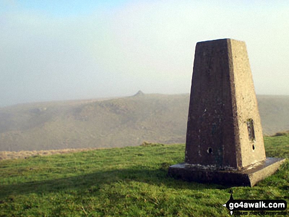
The summit of Benson Knott is marked by an Ordnance Survey Trig Point.
Not familiar with this top?
See Benson Knott and the surrounding tops on our free-to-access 'Google Style' Peak Bagging Maps:
The South Eastern Marches area of The Lake District National Park
Less data - quicker to download
The Whole of The Lake District National Park
More data - might take a little longer to download
A go4awalk.com downloadable Peak Bagging Map in PDF format featuring Benson Knott should be available soon.
You can find Benson Knott & all the walks that climb it on these unique free-to-access Interactive Walk Planning Maps:
1:25,000 scale OS Explorer Map (orange/yellow covers):
1:50,000 scale OS Landranger Map (pink/magenta covers):
 Fellow go4awalkers who have already walked, climbed, summited & bagged Benson Knott
Adrian Howard walked up Benson Knott on February 24th, 2012 [from/via/route] From layby by railway bridge on A685, North of summit.
To add (or remove) your name and experiences on this page - Log On and edit your Personal Mountain Bagging Record
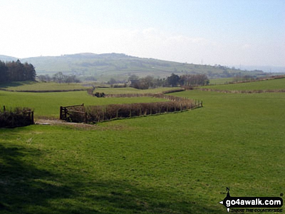
More Photographs & Pictures of views from, on or of Benson Knott
Send us your photographs and pictures on, of, or from Benson Knott
If you would like to add your walk photographs and pictures featuring views from, on or of Benson Knott to this page, please send them as email attachments (configured for any computer) along with your name to:
and we shall do our best to publish them.
(Guide Resolution = 300dpi. At least = 660pixels (wide) x 440 pixels (high).)

You can also submit photos via our Facebook Page.
NB. Please indicate where each photo was taken and whether you wish us to credit your photos with a Username or your First Name/Last Name.
Not familiar with this top?


