
![]()
Carder Low
380m (1247ft)
The White Peak Area, The Peak District, Derbyshire, England
Not familiar with this top?
   |
|---|
Vital Statistics:
| Length: | 6.5ml (10.5km) |
|---|---|
| Ascent: | 1,129ft (344m) |
| Time: | 3½ hrs |
| Grade: |  (Moderate) (Moderate) |
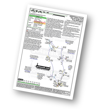
Route Summary:
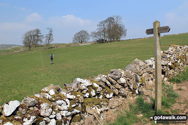
Hartington - Bridge End - Harris Close - High Close - Upper Dove Dale - Pilsbury - Pilsbury Castle Hills - Carder Low - Bank Top Farm - Madge Dale - Hartington
|
|---|
Vital Statistics:
| Length: | 8.75ml (14km) |
|---|---|
| Ascent: | 1,171ft (357m) |
| Time: | 4½ hrs |
| Grade: |  (Moderate) (Moderate) |
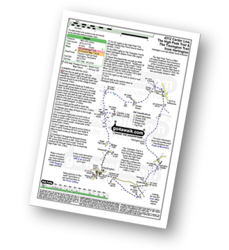
Route Summary:
Hartington - Gorsecroft - Madge Dale - Bank Top Farm - Carder Low - Vincent House - Darley Farm - The High Peak Trail - Parsley Hay - The Tissington Trail - Hartington Station - Heathcote - Heathcote Mere - Highfield Lane - Hartington
See Carder Low and the surrounding tops on our free-to-access 'Google Style' Peak Bagging Maps:
See Carder Low and the surrounding tops on our downloadable Peak Bagging Map in PDF format:

NB: Whether you print off a copy or download it to your phone, this PDF Peak Baggers' Map might prove incredibly useful when your are up there on the tops and you cannot get a phone signal.
You can find Carder Low & all the walks that climb it on these unique free-to-access Interactive Walk Planning Maps:
1:25,000 scale OS Explorer Map (orange/yellow covers):
1:50,000 scale OS Landranger Map (pink/magenta covers):
 Fellow go4awalkers who have already walked, climbed, summited & bagged Carder Low
Mark Davidson walked up on April 9th, 2015 [from/via/route] Walk d312 Carder Low, The High Peak Trail & The Tissington Trail from Hartington [with] T [weather] Nice & sunny
To add (or remove) your name and experiences on this page - Log On and edit your Personal Mountain Bagging Record
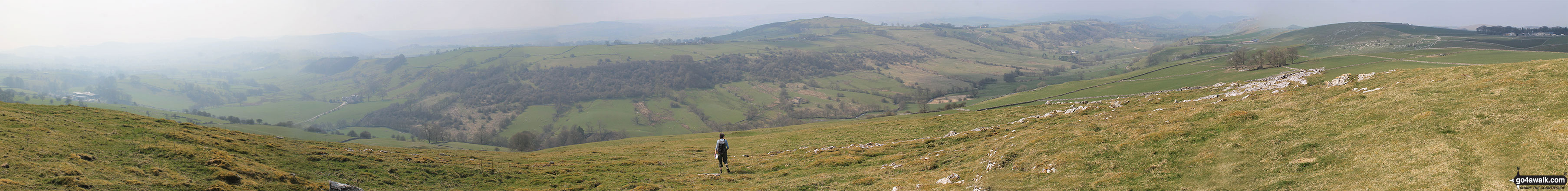
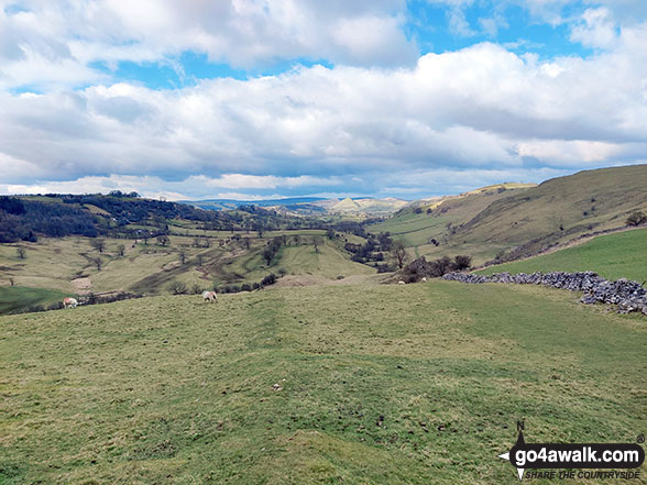
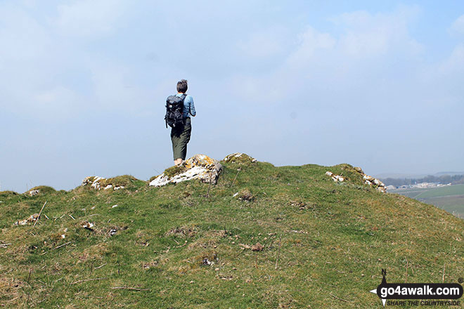
More Photographs & Pictures of views from, on or of Carder Low
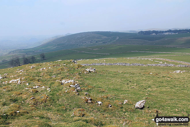
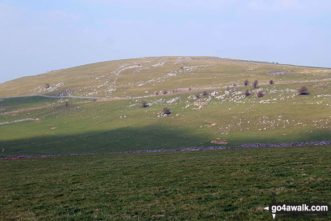
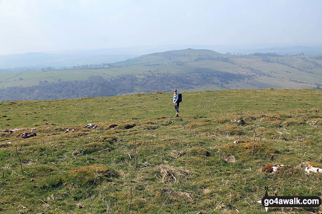
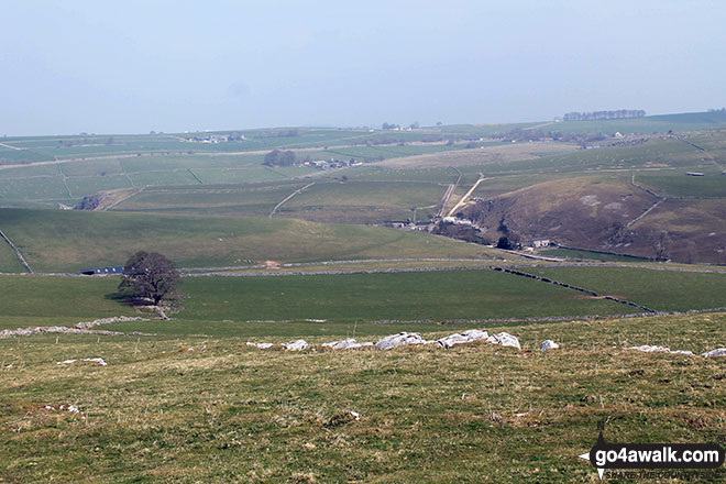
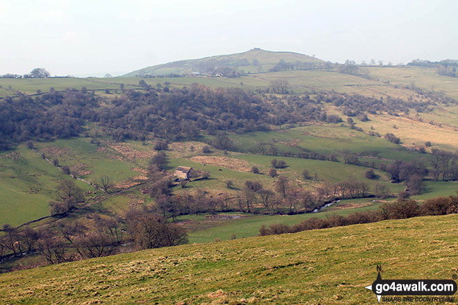
Looking north-west towards Pilsbury Castle Hills from the summit of Carder Low
Send us your photographs and pictures on, of, or from Carder Low
If you would like to add your walk photographs and pictures featuring views from, on or of Carder Low to this page, please send them as email attachments (configured for any computer) along with your name to:
and we shall do our best to publish them.
(Guide Resolution = 300dpi. At least = 660pixels (wide) x 440 pixels (high).)

You can also submit photos via our Facebook Page.
NB. Please indicate where each photo was taken.
Not familiar with this top?


