   |
Vital Statistics:
| Length: | 8¾mls (14km) |
| Ascent: | 1,171ft (357m) |
| Time: | 4½hrs |
| Grade: |  |
Route outline for walk d312:
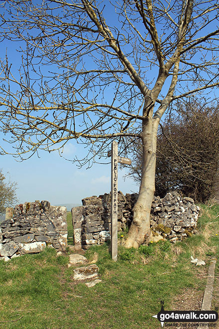
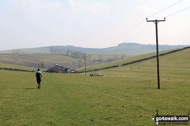
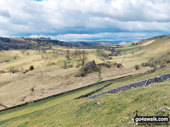
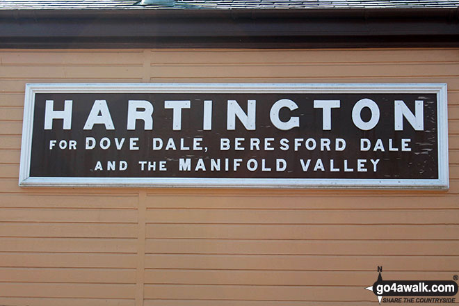
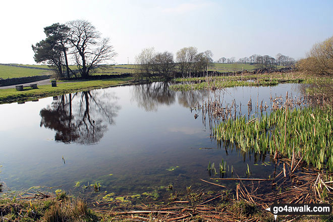
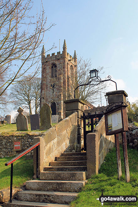
Hartington - Gorsecroft - Madge Dale - Bank Top Farm - Carder Low - Vincent House - Darley Farm - The High Peak Trail - Parsley Hay - The Tissington Trail - Hartington Station - Heathcote - Heathcote Mere - Highfield Lane - Hartington
Peaks, Summits and Tops reached on this walk:
 0 English Mountains |
 0 Wainwrights |
 0 English Nuttalls |
 0 English Deweys |
 0 Wainwright Outlying Fells |
 0 Marilyns |
 1 Bridget |
Peak Bagging Statistics for this walk:
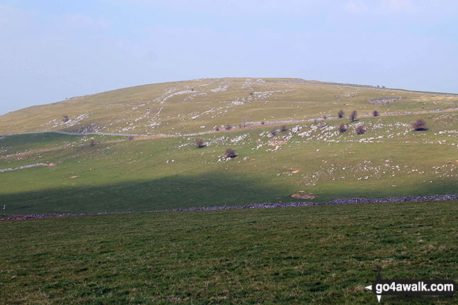
The highest point of this walk is Carder Low at 380m (1247ft). Carder Low is known as an English Bridget.
National Trails & Long Paths included on this walk:
Part of this walk follows a section of The High Peak Trail, a 29km (18 miles) linear footpath connecting Dowlow in Derbyshire, England with Cromford in Derbyshire, England. It follows a lengthy section of the Cromford and High Peak Railway which linked the High Peak & Cromford Canals. Started in 1825, the line was finally closed in 1963. The High Peak Trail is waymarked by named posts. For more walks that include a section of this trail see The High Peak Trail.
Part of this walk also follows a section of The Tissington Trail, a 21km (13 miles) linear footpath connecting Ashbourne in Derbyshire, with Parsley Hay in Derbyshire, England. Originally a railway line built in 1890 to connect Buxton to Ashbourne, it was finally closed to rail traffic in 1967. The Tissington Trail is waymarked by occasional named posts. For more walks that include a section of this trail see The Tissington Trail.
You can find this walk and other nearby walks on these unique free-to-access Interactive Walk Planning Maps:
1:25,000 scale OS Explorer Map (orange/yellow covers):
1:50,000 scale OS Landranger Map (pink/magenta covers):
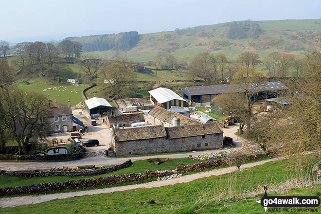
Some Photos and Pictures from Walk d312 Carder Low, The High Peak Trail and The Tissington Trail from Hartington
In no particular order . . .
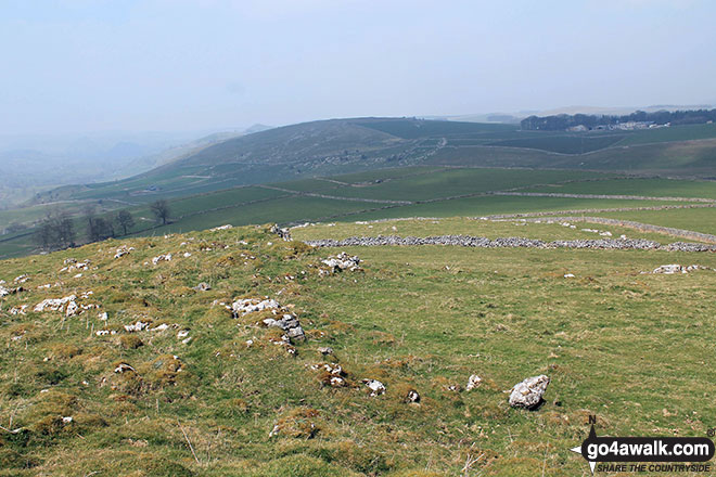
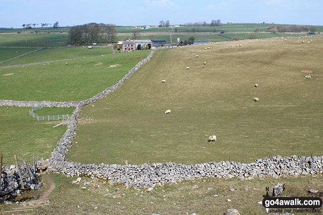
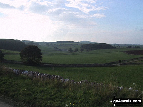
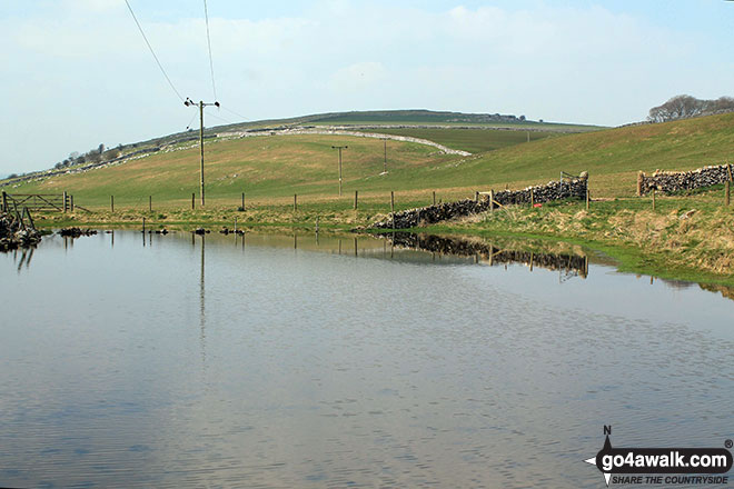
Looking north-west towards Pilsbury Castle Hills from the summit of Carder Low
Send us your photographs and pictures from your walks and hikes
We would love to see your photographs and pictures from walk d312 Carder Low, The High Peak Trail and The Tissington Trail from Hartington. Send them in to us as email attachments (configured for any computer) along with your name and where the picture was taken to:
and we shall do our best to publish them.
(Guide Resolution = 300dpi. At least = 660 pixels (wide) x 440 pixels (high).)

You can also submit photos from walk d312 Carder Low, The High Peak Trail and The Tissington Trail from Hartington via our Facebook Page.
NB. Please indicate where each photo was taken.


