
![]()
Hound Tor (Bonehill Down)
414m (1358ft)
Dartmoor, Devon, England
Tap/mouse over a coloured circle (1-3 easy walks, 4-6 moderate walks, 7-9 hard walks) and click to select.

Not familiar with this top?
   |
|---|
Vital Statistics:
| Length: | 6.25ml (10km) |
|---|---|
| Ascent: | 1,132ft (345m) |
| Time: | 3½ hrs |
| Grade: |  (Moderate) (Moderate) |
Route Summary:
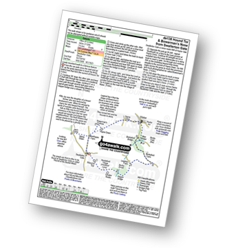
Swallerton Gate - Hound Tor (Bonehill Down) - Hundaford Village - Greator Rocks - Becka Brook - Leighton Farm - Beckaford Bridge - New Bridge - Water - Hayne Cross - Hayne Down - Bowerman's Nose - Swine Down - Jay's Grave - Moorhayes Farm - Swallerton Gate
See Hound Tor (Bonehill Down) and the surrounding tops on our free-to-access 'Google Style' Peak Bagging Map:
Dartmoor National Park
More data - might take a little longer to download
See Hound Tor (Bonehill Down) and the surrounding tops on our downloadable Peak Bagging Map in PDF format:

NB: Whether you print off a copy or download it to your phone, this PDF Peak Baggers' Map might prove incredibly useful when your are up there on the tops and you cannot get a phone signal.
You can find Hound Tor (Bonehill Down) & all the walks that climb it on these unique free-to-access Interactive Walk Planning Maps:
1:25,000 scale OS Explorer Map (orange/yellow covers):
1:50,000 scale OS Landranger Map (pink/magenta covers):
 Fellow go4awalkers who have already walked, climbed, summited & bagged Hound Tor (Bonehill Down)
To add (or remove) your name and experiences on this page - Log On and edit your Personal Mountain Bagging Record
Send us your photographs and pictures on, of, or from Hound Tor (Bonehill Down)
If you would like to add your walk photographs and pictures featuring views from, on or of Hound Tor (Bonehill Down) to this page, please send them as email attachments (configured for any computer) along with your name to:
and we shall do our best to publish them.
(Guide Resolution = 300dpi. At least = 660pixels (wide) x 440 pixels (high).)

You can also submit photos via our Facebook Page.
NB. Please indicate where each photo was taken and whether you wish us to credit your photos with a Username or your First Name/Last Name.
Not familiar with this top?


