
![]()
Cuns Fell
539m (1769ft)
The North Pennines, Cumbria, England
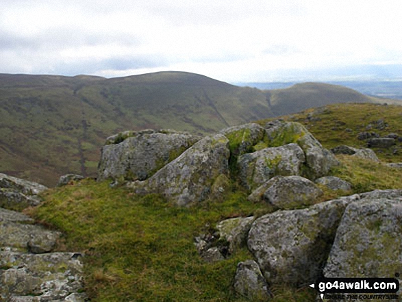
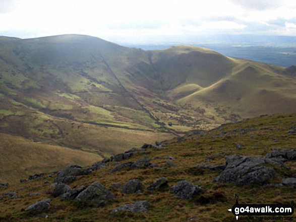
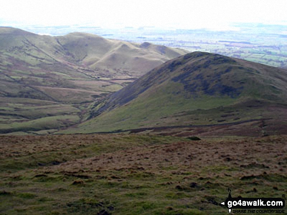
The summit of Cuns Fell is marked by a rocky outcrop.
Not familiar with this top?
   |
|---|
Vital Statistics:
| Length: | 11ml (17.5km) |
|---|---|
| Ascent: | 2,288ft (697m) |
| Time: | 6.25hrs |
| Grade: |  (Moderate) (Moderate) |
Route Summary:
Melmerby - Meikle Awfell - Cuns Fell - Maiden Way (Roman Road) - Meg's Cairn - Melmerby Fell - Knapside Hill - Little Knapside Hill - Fiend's Fell - Twotop Bridge - Hazel Rigg Farm - Gamblesby - Gill Beck - Melmerby
See Cuns Fell and the surrounding tops on our free-to-access 'Google Style' Peak Bagging Map:
See Cuns Fell and the surrounding tops on our downloadable Peak Bagging Map in PDF format:

NB: Whether you print off a copy or download it to your phone, this PDF Peak Baggers' Map might prove incredibly useful when your are up there on the tops and you cannot get a phone signal.
You can find Cuns Fell & all the walks that climb it on these unique free-to-access Interactive Walk Planning Maps:
1:25,000 scale OS Explorer Map (orange/yellow covers):
1:50,000 scale OS Landranger Map (pink/magenta covers):
 Fellow go4awalkers who have already walked, climbed, summited & bagged Cuns Fell
Mark Davidson walked up on February 21st, 2007 [with] Mike & his friend [weather] Cloudy, cold with mist
Chris Faulkner climbed it on August 30th, 2014 [from/via/route] Walk Route Summary: - Melmerby, Meikle Awfell, Cuns Fell, Maiden Way (Roman Road), Meg's Cairn, Melmerby Fell, Knapside Hill, Little Knapside Hill, Fiend's Fell, Twotop Bridge, Hazel Rigg Farm, Gamblesby, Gill Beck, Melmerby. [with] Michelle Chandler [weather] Windy. Dry. - Lovely
To add (or remove) your name and experiences on this page - Log On and edit your Personal Mountain Bagging Record

Send us your photographs and pictures on, of, or from Cuns Fell
If you would like to add your walk photographs and pictures featuring views from, on or of Cuns Fell to this page, please send them as email attachments (configured for any computer) along with your name to:
and we shall do our best to publish them.
(Guide Resolution = 300dpi. At least = 660pixels (wide) x 440 pixels (high).)

You can also submit photos via our Facebook Page.
NB. Please indicate where each photo was taken.
Not familiar with this top?


