
![]()
Brownber Hill
519m (1703ft)
The North Pennines, Cumbria, England
Tap/mouse over a coloured circle (1-3 easy walks, 4-6 moderate walks, 7-9 hard walks) and click to select.
Not familiar with this top?
   |
|---|
Vital Statistics:
| Length: | 11.25ml (18km) |
|---|---|
| Ascent: | 2,206ft (672m) |
| Time: | 6.25hrs |
| Grade: |  (Moderate) (Moderate) |
Route Summary:
Dufton - Eller Beck - Pusgill House - Great Rundale Beck - Bluethwaite Hill - Threlkeld Side - Brownber Hill - Tossgill Edge - Great Rundale Tarn - Backstone Edge (Dufton Fell) - Narrowgate Beacon - Little Rundale Beck - High Cup Nick - High Cup - The Pennine Way - Narrow Gate Path - Peeping Hill - Bow Hall - Town Head - Dufton
|
|---|
Vital Statistics:
| Length: | 12.75ml (20.5km) |
|---|---|
| Ascent: | 2,819ft (859m) |
| Time: | 7½ hrs |
| Grade: |  (Hard) (Hard) |
Route Summary:
Dufton - The Pennine Way - Eller Beck - Coastsyke Farm (Coatsike Farm) - Hurning Lane - Halsteads - Cosca Hill - Great Rundale Beck - Dufton Pike - Bluethwaite Hill - Threlkeld Side - Brownber Hill - Tossgill Edge - Great Rundale Tarn - Backstone Edge (Dufton Fell) - Narrowgate Beacon - Little Rundale Beck - High Cup Nick - High Cup - The Pennine Way - Narrow Gate Path - Peeping Hill - Bow Hall - Town Head - Dufton
See Brownber Hill and the surrounding tops on our free-to-access 'Google Style' Peak Bagging Map:
The North Pennines
Less data - quicker to download
See Brownber Hill and the surrounding tops on our downloadable Peak Bagging Map in PDF format:

NB: Whether you print off a copy or download it to your phone, this PDF Peak Baggers' Map might prove incredibly useful when your are up there on the tops and you cannot get a phone signal.
You can find Brownber Hill & all the walks that climb it on these unique free-to-access Interactive Walk Planning Maps:
1:25,000 scale OS Explorer Map (orange/yellow covers):
1:50,000 scale OS Landranger Map (pink/magenta covers):
 Fellow go4awalkers who have already walked, climbed, summited & bagged Brownber Hill
Patrick Rogozinski and Mark Davidson have both walked, climbed & bagged Brownber Hill.
To add (or remove) your name and experiences on this page - Log On and edit your Personal Mountain Bagging Record
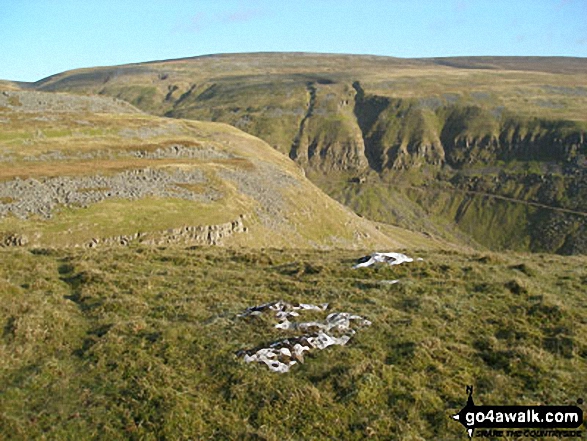
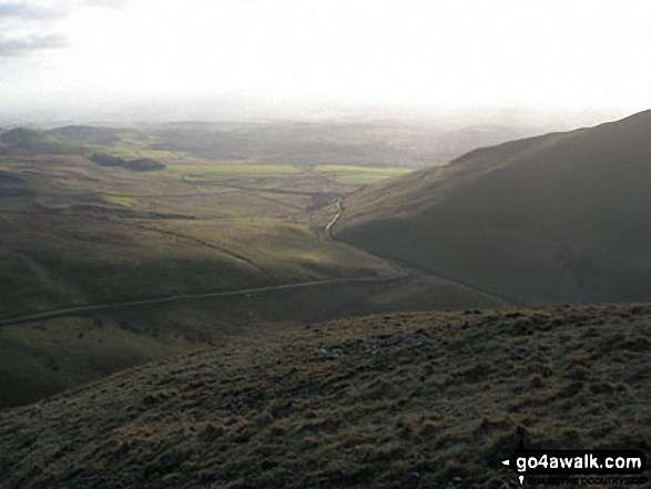
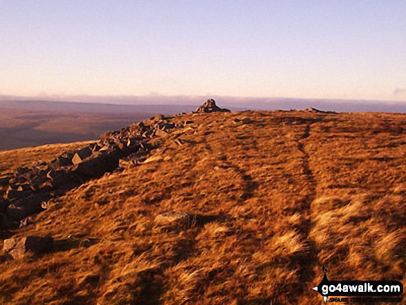
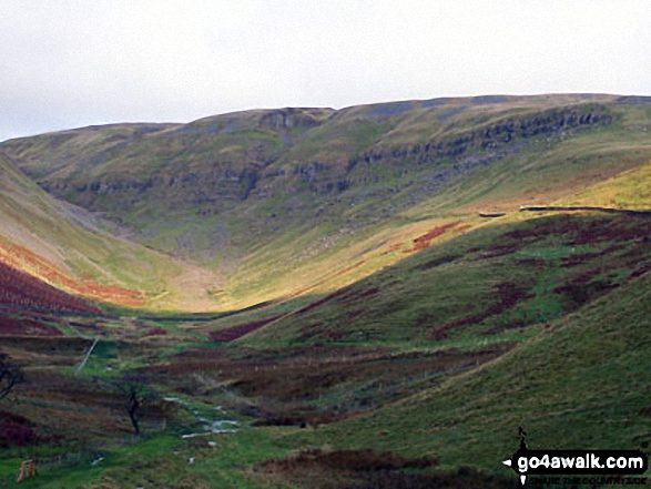
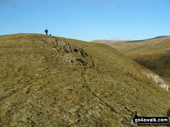
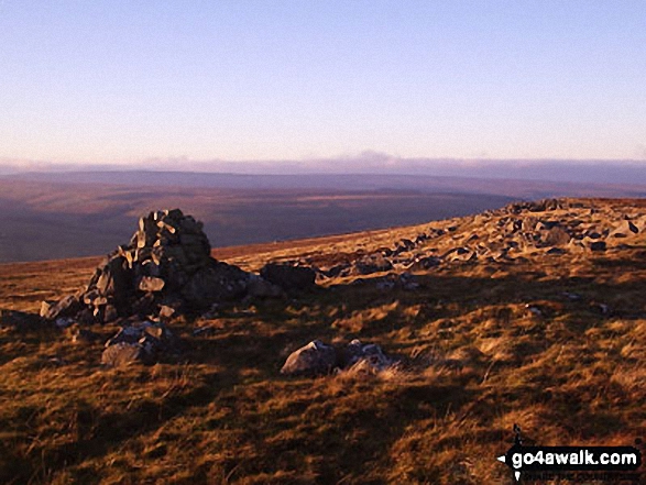
More Photographs & Pictures of views from, on or of Brownber Hill
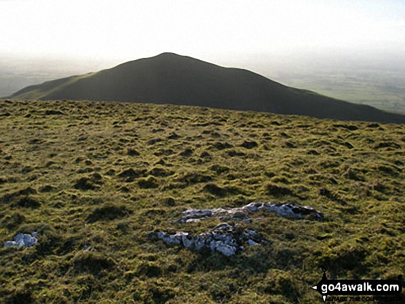
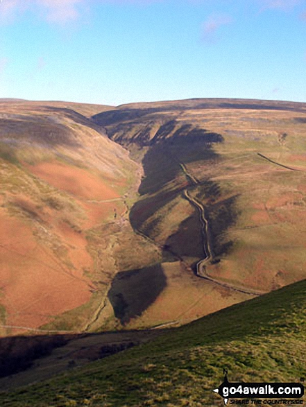
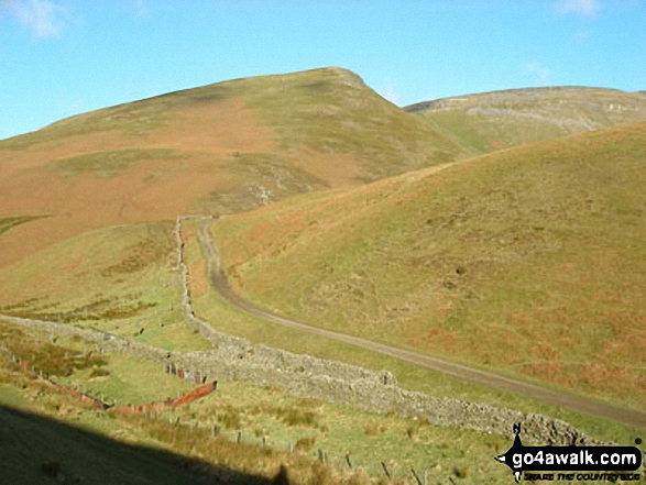
Brownber Hill (left), Threlkeld Side and Bluethwaite Hill (right) from Dufton Pike
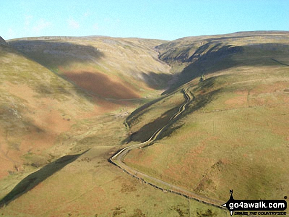
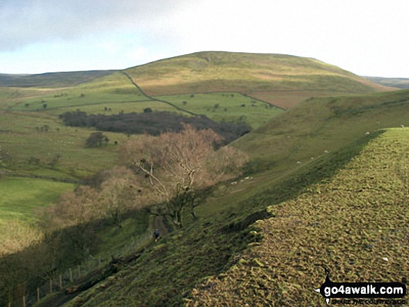
Brownber Hill (left), Threlkeld Side and Bluethwaite Hill (right) from the lower slopes of Dufton Pike
Send us your photographs and pictures on, of, or from Brownber Hill
If you would like to add your walk photographs and pictures featuring views from, on or of Brownber Hill to this page, please send them as email attachments (configured for any computer) along with your name to:
and we shall do our best to publish them.
(Guide Resolution = 300dpi. At least = 660pixels (wide) x 440 pixels (high).)

You can also submit photos via our Facebook Page.
NB. Please indicate where each photo was taken and whether you wish us to credit your photos with a Username or your First Name/Last Name.
Not familiar with this top?


