
![]()
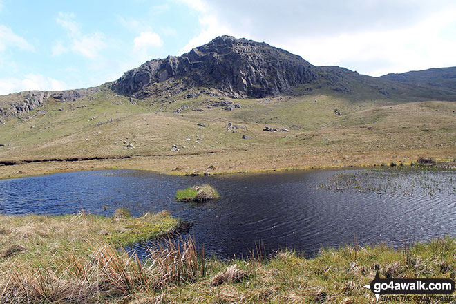
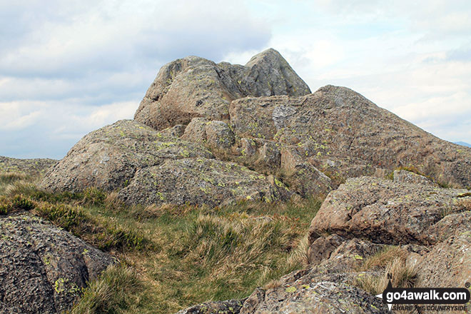
Bell Crags (Watendlath Fell)
558m (1831ft)
The Central Fells, The Lake District, Cumbria, England
Tap/mouse over a coloured circle (1-3 easy walks, 4-6 moderate walks, 7-9 hard walks) and click to select.
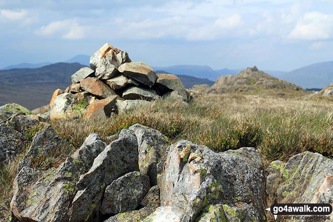
The summit of Bell Crags (Watendlath Fell) is marked by an Ordnance Survey Trig Point.
Not familiar with this top?
See Bell Crags (Watendlath Fell) and the surrounding tops on our free-to-access 'Google Style' Peak Bagging Maps:
The Central Fells of The Lake District National Park
Less data - quicker to download
The Whole of The Lake District National Park
More data - might take a little longer to download
See Bell Crags (Watendlath Fell) and the surrounding tops on our downloadable Peak Bagging Maps in PDF format:

NB: Whether you print off a copy or download it to your phone, these PDF Peak Baggers' Maps might prove incredibly useful when your are up there on the tops and you cannot get a phone signal.
*This version is marked with the walk routes you need to follow to Walk all 214 Wainwrights in just 59 walks.
You can find Bell Crags (Watendlath Fell) & all the walks that climb it on these unique free-to-access Interactive Walk Planning Maps:
1:25,000 scale OS Explorer Map (orange/yellow covers):
1:50,000 scale OS Landranger Maps (pink/magenta covers):
 Fellow go4awalkers who have already walked, climbed, summited & bagged Bell Crags (Watendlath Fell)
Mike Walker walked up Bell Crags (Watendlath Fell) on May 22nd, 2017 [from/via/route] Extension to Walk c278 High Tove, Ullscarf & Great Crag from Watendlath [with] Alone [weather] Nice & sunny
Christine Shepherd climbed Bell Crags (Watendlath Fell) on September 25th, 2019 [from/via/route] Walked from Watendlath [with] On my own [weather] Sunshine & showers. - Third time lucky trying to bag this fell. Tried from Armboth but found the car park shut. Tried again two days before this & overshot & ended up visiting Armboth Fell & High Tove. This was partly due to the fact that I was looking out for a sign to Blea Tarn which has apparently been vandalised & is no longer there! Reached it easily once I looked properly at the map! Very very wet under foot but paths easy to follow.
Mark Davidson bagged Bell Crags (Watendlath Fell) on May 23rd, 2017 [with] Alone [weather] Dry & warm but very grey
Iain Taylor hiked Bell Crags (Watendlath Fell) on January 27th, 2013 [from/via/route] Nr Keswick NY 26926 20343
To add (or remove) your name and experiences on this page - Log On and edit your Personal Mountain Bagging Record
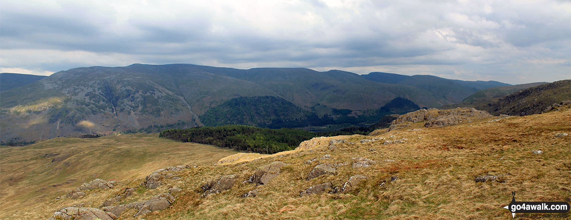
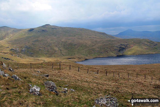
More Photographs & Pictures of views from, on or of Bell Crags (Watendlath Fell)
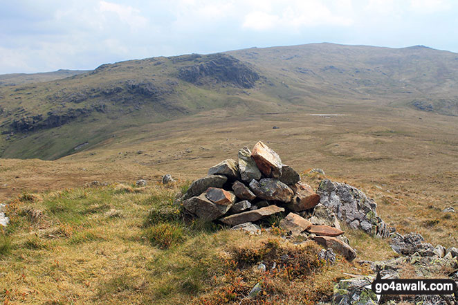
High Saddle (Coldbarrow Fell) (left) and Low Saddle (Coldbarrow Fell) from Bell Crags (Watendlath Fell)
Send us your photographs and pictures on, of, or from Bell Crags (Watendlath Fell)
If you would like to add your walk photographs and pictures featuring views from, on or of Bell Crags (Watendlath Fell) to this page, please send them as email attachments (configured for any computer) along with your name to:
and we shall do our best to publish them.
(Guide Resolution = 300dpi. At least = 660pixels (wide) x 440 pixels (high).)

You can also submit photos via our Facebook Page.
NB. Please indicate where each photo was taken and whether you wish us to credit your photos with a Username or your First Name/Last Name.
Not familiar with this top?


