
![]()
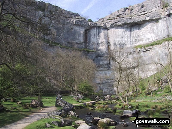
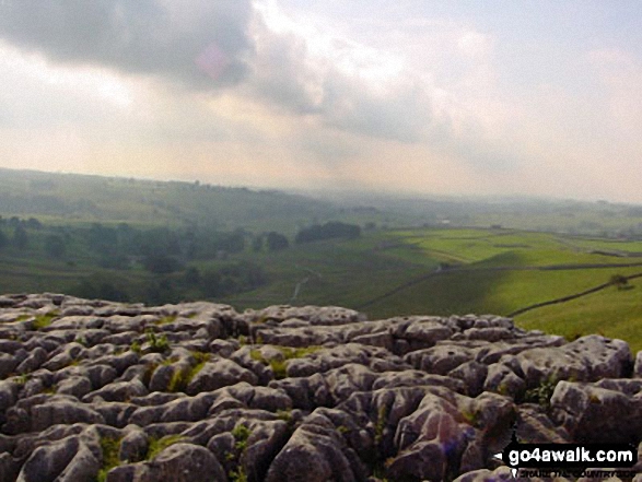
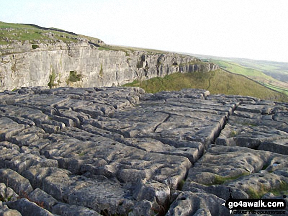
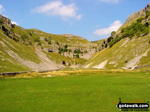
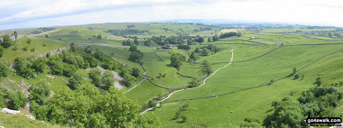
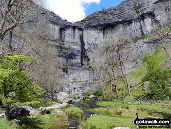
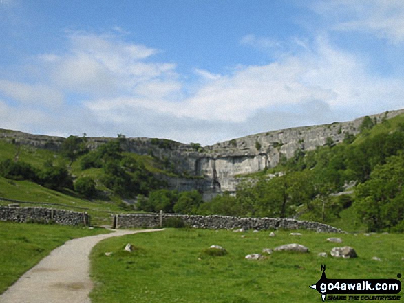
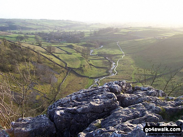
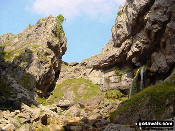
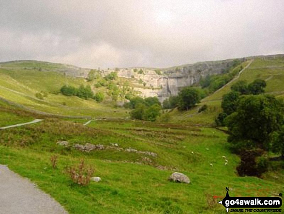
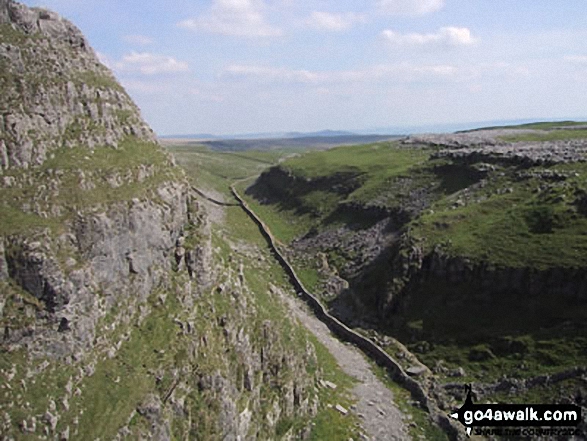
Malham Cove
319m (1047ft)
The Southern Dales Area, The Yorkshire Dales, North Yorkshire, England
Tap/mouse over a coloured circle (1-3 easy walks, 4-6 moderate walks, 7-9 hard walks) and click to select.
Not familiar with this top?
   |
|---|
Vital Statistics:
| Length: | 5ml (8km) |
|---|---|
| Ascent: | 804ft (245m) |
| Time: | 2½ hrs |
| Grade: |  (Moderate) (Moderate) |
Route Summary:
Malham - The Pennine Way - Gordale Beck - New Laithe - Mantley Field Laithe - Janet's Foss - Gordale Bridge - Gordale Scar - Gordale Bridge - Cawden Flats Barn - Shorkley Hill - Sheriff Hill - Malham Cove - Malham Beck - Malham
|
|---|
Vital Statistics:
| Length: | 7.5ml (12km) |
|---|---|
| Ascent: | 1,296ft (395m) |
| Time: | 4 hrs |
| Grade: |  (Moderate) (Moderate) |
Route Summary:
Malham - The Pennine Way - Gordale Beck - New Laithe - Mantley Field Laithe - Janet's Foss - Gordale Bridge - Gordale Scar - New Close - Seaty Hill - Street Gate - Great Close Scar - Great Close Plantation - Malham Tarn - The Pennine Way - Malham Beck - Water Sinks - Comb Hill - Ing Scar Crag - Watlowes - Malham Cove - Malham
|
|---|
Vital Statistics:
| Length: | 14ml (22.5km) |
|---|---|
| Ascent: | 2,562ft (781m) |
| Time: | 7½ hrs |
| Grade: |  (Hard) (Hard) |
Route Summary:
Settle - Constitution Hill - Attermire Scar - Victoria Cave - Stickdale Farm - Malham - Malham Cove - Limestone Pavement - Watlowes - Langscar Gate - Outside - Gorbeck - Jubilee Cave - Clay Pits Plantation - Settle
See Malham Cove and the surrounding tops on our free-to-access 'Google Style' Peak Bagging Maps:
The Southern Dales Area of The Yorkshire Dales National Park
Less data - quicker to download
The Whole of The Yorkshire Dales National Park
More data - might take a little longer to download
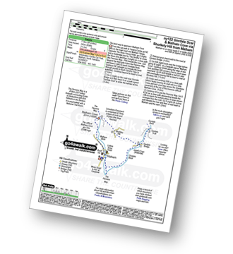
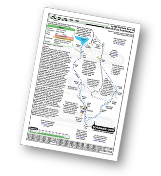
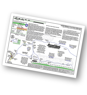
See Malham Cove and the surrounding tops on our downloadable Peak Bagging Map in PDF format:

NB: Whether you print off a copy or download it to your phone, this PDF Peak Baggers' Map might prove incredibly useful when your are up there on the tops and you cannot get a phone signal.
You can find Malham Cove & all the walks that climb it on these unique free-to-access Interactive Walk Planning Maps:
1:25,000 scale OS Explorer Map (orange/yellow covers):
1:50,000 scale OS Landranger Map (pink/magenta covers):
 Fellow go4awalkers who have already walked, climbed, summited & bagged Malham Cove
Gill Bates walked up Malham Cove on October 26th, 2012 [from/via/route] from Malham
Lucy Perchard climbed Malham Cove on August 22nd, 2015 [with] "Fore intu" team on Oxfam's Trailtrekker charity challenge walk [weather] Hot & sunny
Margaret Richards bagged Malham Cove on April 18th, 2016 [from/via/route] Gordale Scar & Malham Cove from Malham (ny159, 9miles, with Mike) [with] Don
Mark Price hiked Malham Cove on September 16th, 2008 [from/via/route] Via gordale scar [with] Shaun Dunmall [weather] sun with light breeze
Andy Jakob summited Malham Cove on August 14th, 1985 [from/via/route] Pennine Way north to south [with] Edith
Nicola Parkinson conquered Malham Cove on April 4th, 2014 [from/via/route] ny159 [with] Stu
Janet Wells scaled Malham Cove during June, 2012 [with] William
Ian Roy walked up Malham Cove on July 10th, 2015 [from/via/route] From The National Park Centre, cross Malham Beck at the Smithie's, follow the Pennine Way passing Mires Barn & then on to Janet's Foss. Then on to Gordale Scar, back to Gordale Bridge, passing Sheriff Hill, to Malham Cove. Then follow Malham Beck back to the National Park Centre. [with] Alone [weather] Sunny
Chris Lund climbed Malham Cove on August 26th, 2013 [from/via/route] used route ny159 [with] Mark - Glorious Bank Holiday Monday, unfortunately the fine weather brought people out in the thousands, still very pleasant walk, with a bit of geocaching on the way
Andrew Joss bagged Malham Cove on July 31st, 2013 [from/via/route] Malham [with] Barbara, Pippa, Mick, Tina, Emily & Benson [weather] Sunny then heavy rain - Great views
To add (or remove) your name and experiences on this page - Log On and edit your Personal Mountain Bagging Record
. . . [see more walk reports]
More Photographs & Pictures of views from, on or of Malham Cove
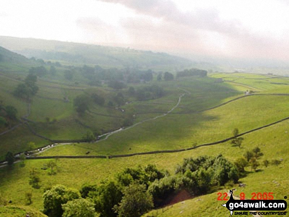
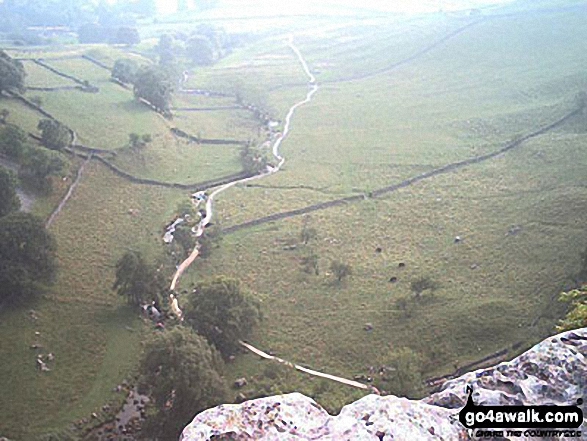
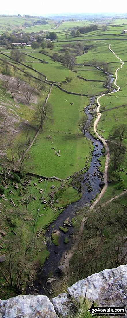
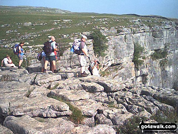
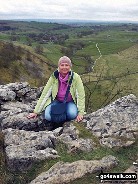
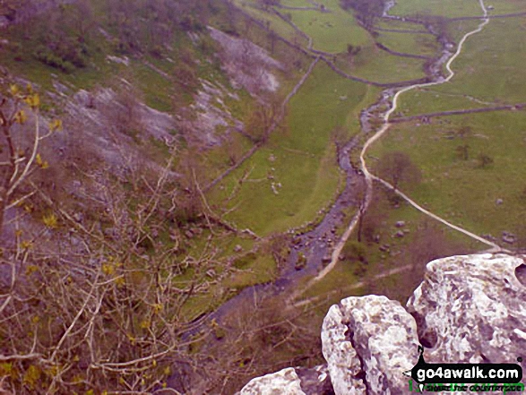
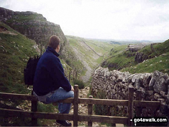
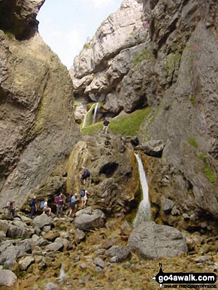
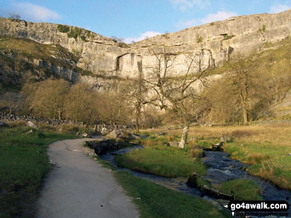
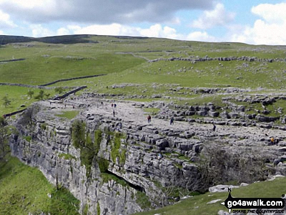
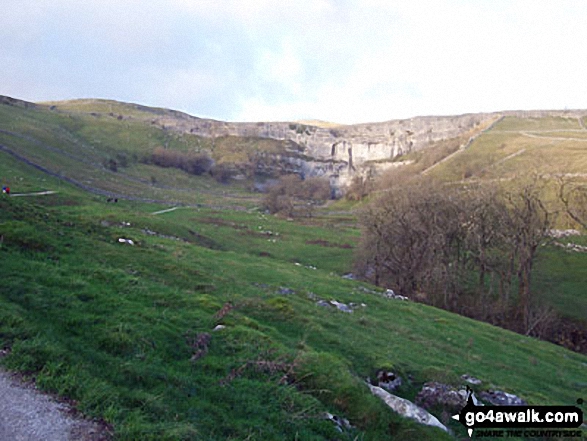
. . . see just 20 walk photographs & pictures of views from, on or of Malham Cove
Send us your photographs and pictures on, of, or from Malham Cove
If you would like to add your walk photographs and pictures featuring views from, on or of Malham Cove to this page, please send them as email attachments (configured for any computer) along with your name to:
and we shall do our best to publish them.
(Guide Resolution = 300dpi. At least = 660pixels (wide) x 440 pixels (high).)

You can also submit photos via our Facebook Page.
NB. Please indicate where each photo was taken and whether you wish us to credit your photos with a Username or your First Name/Last Name.
Not familiar with this top?


