All the Mountains, Peaks, Tops and Hills in The Ben Lomond Area of Scottish Region 1: Scottish Region 1: The Firth of Clyde to Strath Tay on a Google Map
The Ben Lomond Area of Scottish Region 1: The Firth of Clyde to Strath Tay region is the area enclosed by an imaginary line connecting:
- Inversnaid to Callander via Loch Arklet, Loch Katrine, Loch Achray and Loch Venachar to the North
- Callander to Stirling via the A84 though Doune to the East
- Stirling to Loch Lomond via the A811 through Kippen & Drymen to the South
- Loch Lomond to Inversnaid to the West
If you include just the Munros and the Murdos there is 1 top to climb, bag & conquer which is called Ben Lomond at 974m (3,196ft).
To see these Mountain, Peak, Top or Hill displayed in different ways - see the options in the left-hand column and towards the bottom of this page.
![]() Your Personal Bagging Record for The Ben Lomond Area of Scottish Region 1: The Firth of Clyde to Strath Tay
Your Personal Bagging Record for The Ben Lomond Area of Scottish Region 1: The Firth of Clyde to Strath Tay
LOG ON and RELOAD this page to show which Mountains, Peaks, Tops and Hills you have already climbed, bagged & conquered [. . . more details]
NB. If a Google Map does not appear below, or the icons do not respond, click here to refresh the page. If that doesn't work, try deleting your browser's cache.
View these 1 Mountain, Peak, Top or Hill:
- On an Interactive Google Map (loads faster)
- On an Interactive Google Map with a list of tops below it.
(makes it easier to locate a particular top) - On a Detailed List in:
Alphabetical Order | Height Order - On one page with 'yet-to-be-bagged' listed 1st & then 'already-bagged' tops listed 2nd in:
Alphabetical Order | Height Order - On one page with 'already-bagged' tops listed 1st & then 'yet-to-be-bagged' tops listed 2nd in:
Alphabetical Order | Height Order
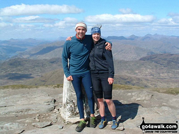 The summit of Ben Lomond in The Firth of Clyde to Strath Tay
Photo: Heather Meek
Is there a Mountain, Peak, Top or Hill missing from the above google map or list?


