All the Mountains, Peaks, Tops and Hills in Scottish Region 1: Scottish Region 1: Loch Lomond and The Trossachs to Loch Tay on a Google Map
Scottish Region 1: Loch Lomond and The Trossachs to Loch Tay region is the area enclosed by an imaginary line connecting:
- Loch Awe to Ballinluig via the A85 through Dalmally, Inverlochy, Tyndrum & Crianlarich, the A85 through Glen Dochart and then the A827 through Killin, Loch Tay, Kenmore & Aberfeldy to the North
- Ballinluig to Perth via the A9 through Strath Tay to the East
- Perth to Stirling via the A9 through Auchterarder, Greenloaning & Dumblane to the South-East
- Stirling to the Firth of Clyde via the A811 through Kippen & Drymen and then the A812 through Alexandria & Dumbarton to the South
- The Firth of Clyde to Loch Awe via Loch Long to Arrochar, the A83 to Inveraray through Rest and be Thankful and then the A819 to the A85 through Glen Aray & Tullich to the West
If you count only the Grahams there are 32 tops to climb, bag & conquer and the highest point is Shee of Ardtalnaig (Ciste Buide a' Claidheimh) at 759m (2,491ft).
To see these Mountains, Peaks, Tops and Hills displayed in different ways - see the options in the left-hand column and towards the bottom of this page.
![]() Your Personal Bagging Record for Scottish Region 1: Loch Lomond and The Trossachs to Loch Tay
Your Personal Bagging Record for Scottish Region 1: Loch Lomond and The Trossachs to Loch Tay
LOG ON and RELOAD this page to show which Mountains, Peaks, Tops and Hills you have already climbed, bagged & conquered [. . . more details]
NB. If a Google Map does not appear below, or the icons do not respond, click here to refresh the page. If that doesn't work, try deleting your browser's cache.
View these 32 Mountains, Peaks, Tops and Hills:
- On an Interactive Google Map (loads faster)
- On an Interactive Google Map with a list of tops below it.
(makes it easier to locate a particular top) - On a Detailed List in:
Alphabetical Order | Height Order - On one page with 'yet-to-be-bagged' listed 1st & then 'already-bagged' tops listed 2nd in:
Alphabetical Order | Height Order - On one page with 'already-bagged' tops listed 1st & then 'yet-to-be-bagged' tops listed 2nd in:
Alphabetical Order | Height Order
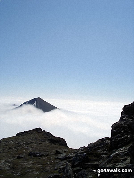 Ben More (The Crianlarich Hills) in Loch Lomond and The Trossachs to Loch Tay
Photo: Adam Shewry
Is there a Mountain, Peak, Top or Hill missing from the above google map or list?


