Scottish Region 14: Loch Maree to Loch Broom - a fully detailed list of all the Mountains, Peaks, Tops and Hills (Page 1 of 2)
Scottish Region 14: Loch Maree to Loch Broom region is the area enclosed by an imaginary line connecting:
- Loch Ewe to Loch Broom via North Minch to the North
- Loch Broom to Gorstan via Inverlael, the A835, Lochdrum, Loch Glascarnoch, Aultguish Inn and Garbet to the North East
- Gorstan to Kinlochewe via the A832, Lochluichart, Achanalt, Strath Bann, Achnashhen and Loch a' Chroisg the South
- Kinlochewe to Loch Ewe via Loch Maree the South West
If you include the Marilyns, the Bridgets (Hills), and all the Mountains, Tops, Peaks and Hills with a Trig Point on them there are 36 tops to climb, bag & conquer and the highest point is Sgurr Mor (Fannich Forest) at 1,110m (3,643ft).
To see these Mountains, Peaks, Tops and Hills displayed in different ways - see the options in the left-hand column and towards the bottom of this page.
![]() Your Personal Bagging Record for Scottish Region 14: Loch Maree to Loch Broom
Your Personal Bagging Record for Scottish Region 14: Loch Maree to Loch Broom
When logged on, you can mark each Mountain, Peak, Top or Hill as 'bagged' by either:
- if you opt to display the tops in this area using a google map, click or tap on its symbol on the map below. This will open a text window. Click or tap on the 'Record [mountain name] as Bagged, Climbed & Conquered' link towards the bottom of the text window, or
- if you opt to display the tops in this area as a list, click or tap on the red 'not yet' symbol to the right of the name of each 'top'
Either method will open a new page where you can complete all your details such as:
- when you bagged the Mountain, Peak, Top or Hill;
- which route you took
- who you went with
- what the weather was like
- any other comment that will remind you of the day
Once you have completed your details and click or tap the submit button, you will automatically return to this page and the top you bagged will show with a green tick.
NB. None of the above fields are 'mandatory' - you can leave them blank if you wish.
NNB. You also have the option whether to display your peak bagging exploits to other users of this site or keep them private so only you can see them when you are logged on.
Furthermore, since you can also access your Personal Mountain & Hill Bagging Record via go4awalk Mobile you can quickly & easily record, edit and view your achievements - whether you are at home/work on your desktop computer or in the pub/at the top of a mountain with your Mobile Phone. (You can even download your Personal Mountain & Hill Bagging Record as a .csv file for importing into and saving with spreadsheet software like Excel or NeoOffice!)
This facility costs one credit to initially access your personal bagging record. Once accessed, all other interactions, such as recording other Mountains, Peaks, Tops and Hills as 'bagged' or altering an existing bagging record, are free.
Click REGISTER to register and purchase credits.
LOG ON and RELOAD this page to show which Mountains, Peaks, Tops and Hills you have already climbed, bagged & conquered. [ . . . remove this text]
Page 1 of 2 Go to page: 1 2 |
See this list in: Alphabetical Order
| Height Order‡
To reverse the order select the link again.
Mountain, Peak, Top or Hill:
Bagged

![]()
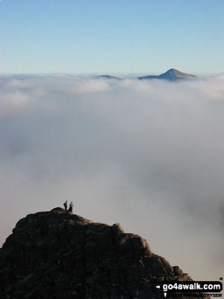
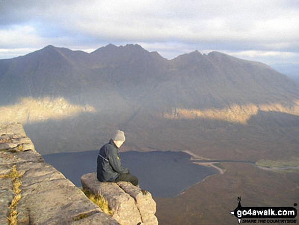
1. Sgurr Mor (Fannich Forest)
1,110m (3,643ft)
Send it in and we'll publish it here.
Sgurr Mor (Fannich Forest) is on interactive maps:
A downloadable go4awalk.com PDF Peak Bagging Map featuring Sgurr Mor (Fannich Forest) will be available soon. |

![]()
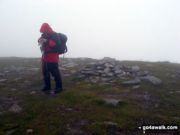
2. Sgurr nan Clach Geala
1,093m (3,587ft)
Send it in and we'll publish it here.
Sgurr nan Clach Geala is on interactive maps:
A downloadable go4awalk.com PDF Peak Bagging Map featuring Sgurr nan Clach Geala will be available soon. |
![]()
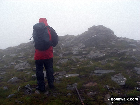
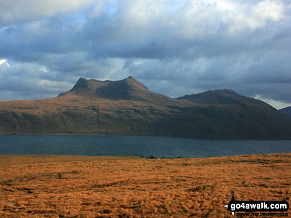
3. An Teallach (Bidein a' Ghlas Thuil)
1,062m (3,485ft)
An Teallach (Bidein a' Ghlas Thuil) is on interactive maps:
A downloadable go4awalk.com PDF Peak Bagging Map featuring An Teallach (Bidein a' Ghlas Thuil) will be available soon. |
![]()
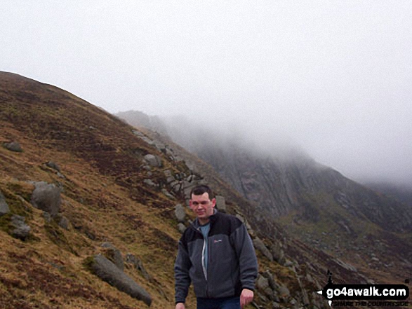
4. Mullach Coire Mhic Fhearchair
1,018m (3,341ft)
Send it in and we'll publish it here.
Mullach Coire Mhic Fhearchair is on interactive maps:
A downloadable go4awalk.com PDF Peak Bagging Map featuring Mullach Coire Mhic Fhearchair will be available soon. |
![]()
5. Sgurr Breac
999m (3,279ft)
Sgurr Breac is on interactive maps:
A downloadable go4awalk.com PDF Peak Bagging Map featuring Sgurr Breac will be available soon. |
![]()
6. A' Chailleach (Wester Ross)
997m (3,272ft)
A' Chailleach (Wester Ross) is on interactive maps:
A downloadable go4awalk.com PDF Peak Bagging Map featuring A' Chailleach (Wester Ross) will be available soon. |
![]()
7. Sgurr Ban (Fionn Loch)
989m (3,246ft)
Send it in and we'll publish it here.
Sgurr Ban (Fionn Loch) is on interactive maps:
A downloadable go4awalk.com PDF Peak Bagging Map featuring Sgurr Ban (Fionn Loch) will be available soon. |
![]()
8. Slioch
981m (3,220ft)
Slioch is on interactive maps:
A downloadable go4awalk.com PDF Peak Bagging Map featuring Slioch will be available soon. |
![]()
9. A' Mhaighdean
967m (3,174ft)
A' Mhaighdean is on interactive maps:
A downloadable go4awalk.com PDF Peak Bagging Map featuring A' Mhaighdean will be available soon. |
![]()
10. Beinn Tarsuinn (Lochan Fada)
937m (3,075ft)
Beinn Tarsuinn (Lochan Fada) is on interactive maps:
A downloadable go4awalk.com PDF Peak Bagging Map featuring Beinn Tarsuinn (Lochan Fada) will be available soon. |
![]()
11. Fionn Bheinn
933m (3,062ft)
Fionn Bheinn is on interactive maps:
A downloadable go4awalk.com PDF Peak Bagging Map featuring Fionn Bheinn will be available soon. |
![]()
12. Ruadh Stac Mor (Fionn Loch)
918m (3,013ft)
Send it in and we'll publish it here.
Ruadh Stac Mor (Fionn Loch) is on interactive maps:
A downloadable go4awalk.com PDF Peak Bagging Map featuring Ruadh Stac Mor (Fionn Loch) will be available soon. |
![]()
13. Beinn a' Chlaidheimh
914m (2,999ft)
Send it in and we'll publish it here.
Beinn a' Chlaidheimh is on interactive maps:
A downloadable go4awalk.com PDF Peak Bagging Map featuring Beinn a' Chlaidheimh will be available soon. |
![]()
14. Beinn Dearg Mor
906m (2,973ft)
Beinn Dearg Mor is on interactive maps:
A downloadable go4awalk.com PDF Peak Bagging Map featuring Beinn Dearg Mor will be available soon. |
![]()
15. Beinn Lair
859m (2,819ft)
Beinn Lair is on interactive maps:
A downloadable go4awalk.com PDF Peak Bagging Map featuring Beinn Lair will be available soon. |
![]()
16. Beinn a' Chaisgein Mor
856m (2,809ft)
Send it in and we'll publish it here.
Beinn a' Chaisgein Mor is on interactive maps:
A downloadable go4awalk.com PDF Peak Bagging Map featuring Beinn a' Chaisgein Mor will be available soon. |
![]()
17. Beinn Dearg Bheag
820m (2,691ft)
Beinn Dearg Bheag is on interactive maps:
A downloadable go4awalk.com PDF Peak Bagging Map featuring Beinn Dearg Bheag will be available soon. |
![]()
18. Creag Rainich
807m (2,649ft)
Creag Rainich is on interactive maps:
A downloadable go4awalk.com PDF Peak Bagging Map featuring Creag Rainich will be available soon. |
![]()
19. Beinn Airigh Charr
792m (2,598ft)
Beinn Airigh Charr is on interactive maps:
A downloadable go4awalk.com PDF Peak Bagging Map featuring Beinn Airigh Charr will be available soon. |
![]()
20. Sail Mhor (Little Loch Broom)
767m (2,517ft)
Send it in and we'll publish it here.
Sail Mhor (Little Loch Broom) is on interactive maps:
A downloadable go4awalk.com PDF Peak Bagging Map featuring Sail Mhor (Little Loch Broom) will be available soon. |
![]()
21. Beinn Liath Mhor a' Ghiubhais Li
766m (2,514ft)
Send it in and we'll publish it here.
Beinn Liath Mhor a' Ghiubhais Li is on interactive maps:
A downloadable go4awalk.com PDF Peak Bagging Map featuring Beinn Liath Mhor a' Ghiubhais Li will be available soon. |
![]()
22. Groban
749m (2,458ft)
Groban is on interactive maps:
A downloadable go4awalk.com PDF Peak Bagging Map featuring Groban will be available soon. |
![]()
23. Meall Mheinnidh
722m (2,370ft)
Meall Mheinnidh is on interactive maps:
A downloadable go4awalk.com PDF Peak Bagging Map featuring Meall Mheinnidh will be available soon. |
![]()
24. Beinn nan Ramh
711m (2,334ft)
Beinn nan Ramh is on interactive maps:
A downloadable go4awalk.com PDF Peak Bagging Map featuring Beinn nan Ramh will be available soon. |
![]()
25. Meall a' Chaorainn (Loch a' Chroisg)
705m (2,314ft)
Send it in and we'll publish it here.
Meall a' Chaorainn (Loch a' Chroisg) is on interactive maps:
A downloadable go4awalk.com PDF Peak Bagging Map featuring Meall a' Chaorainn (Loch a' Chroisg) will be available soon. |
![]()
26. Beinn a' Mhuinidh
692m (2,271ft)
Beinn a' Mhuinidh is on interactive maps:
A downloadable go4awalk.com PDF Peak Bagging Map featuring Beinn a' Mhuinidh will be available soon. |

![]()
27. Meallan Chuaich (Loch Fannich)
690m (2,264ft)
Send it in and we'll publish it here.
Meallan Chuaich (Loch Fannich) is on interactive maps:
|
![]()
28. Beinn a' Chaisgein Beag
682m (2,238ft)
Send it in and we'll publish it here.
Beinn a' Chaisgein Beag is on interactive maps:
A downloadable go4awalk.com PDF Peak Bagging Map featuring Beinn a' Chaisgein Beag will be available soon. |
![]()
29. Beinn Bheag (Wester Ross)
668m (2,192ft)
Send it in and we'll publish it here.
Beinn Bheag (Wester Ross) is on interactive maps:
A downloadable go4awalk.com PDF Peak Bagging Map featuring Beinn Bheag (Wester Ross) will be available soon. |
![]()
30. Beinn Ghobhlach
635m (2,084ft)
Beinn Ghobhlach is on interactive maps:
A downloadable go4awalk.com PDF Peak Bagging Map featuring Beinn Ghobhlach will be available soon. |
Page 1 of 2 Go to page: 1 2 |
View these 36 Mountains, Peaks, Tops and Hills:
- On an Interactive Google Map (loads faster)
- On an Interactive Google Map with a list of tops below it.
(makes it easier to locate a particular top) - On a Detailed List in:
Alphabetical Order | Height Order - On one page with 'yet-to-be-bagged' listed 1st & then 'already-bagged' tops listed 2nd in:
Alphabetical Order | Height Order - On one page with 'already-bagged' tops listed 1st & then 'yet-to-be-bagged' tops listed 2nd in:
Alphabetical Order | Height Order
Is there a Mountain, Peak, Top or Hill missing from the above google map or list?
Let us know an we will add it to our database.

To contribute to go4awalk.com or to contact us about anything at all - see Talk To Us.
For help see Help.
go4awalk.com and go4awalk.co.uk are registered trademarks of TMDH Limited.
Copyright © 2000-2025 TMDH Limited. All rights reserved.
Copyright Terms & Conditions Privacy Statement
A - Z Walks Home Log On/Accounts Photo Gallery Walk Ideas and Collections Fell Facts Hill Skills Walking Questions and Answers Your Stories News Competitions Product Reviews/Gear Tests Walking Gear Guides Peaks and Mountains Peak Bagging Find New Walking Friends Camping GPS Waypoints for Walking Contents Walk Search Talk To Us go4awalk.com Help Free Example Walks Newsletter


