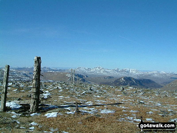
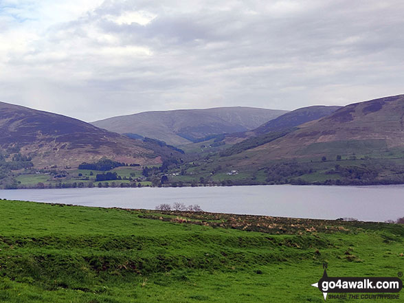
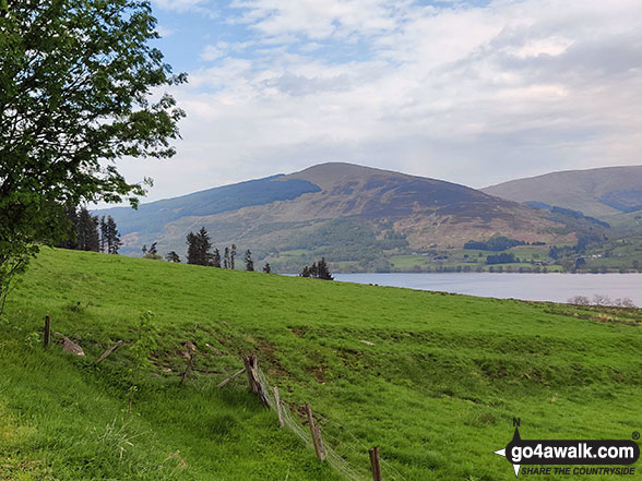
The Crieff and Loch Earn Hills (North) area of Scottish Region 1: The Firth of Clyde to Strath Tay - a fully detailed list of all the Mountains, Peaks, Tops and Hills
The Crieff and Loch Earn Hills (North) area of Scottish Region 1: The Firth of Clyde to Strath Tay region is the area enclosed by an imaginary line connecting:
- Killin to Ballinluig via the A827 through Loch Tay, Kenmore & Aberfeldy to the North
- Ballinluig to Perth via the A9 through Strath Tay to the East
- Perth to Lochearnhead via the A85 through Crieff & Loch Earn to the South
- Lochearnhead to Killin via the A85 through Glen Ogle to the West
If you include the Marilyns, the Bridgets (Hills), and all the Mountains, Tops, Peaks and Hills with a Trig Point on them there are 23 tops to climb, bag & conquer and the highest point is Ben Chonzie at 931m (3,055ft).
To see these Mountains, Peaks, Tops and Hills displayed in different ways - see the options in the left-hand column and towards the bottom of this page.
LOG ON and RELOAD this page to show which Mountains, Peaks, Tops and Hills you have already climbed, bagged & conquered [. . . more details]
See this list in: Alphabetical Order
| Height Order‡
To reverse the order select the link again.
Mountain, Peak, Top or Hill:
Bagged
1. Ben Chonzie
931m (3,055ft)
Ben Chonzie is on interactive maps:
A downloadable go4awalk.com PDF Peak Bagging Map featuring Ben Chonzie will be available soon. |
2. Creagan na Beinne
888m (2,914ft)
Creagan na Beinne is on interactive maps:
A downloadable go4awalk.com PDF Peak Bagging Map featuring Creagan na Beinne will be available soon. |
3. Creag Uchdag
879m (2,884ft)
Creag Uchdag is on interactive maps:
A downloadable go4awalk.com PDF Peak Bagging Map featuring Creag Uchdag will be available soon. |
4. Sron a' Chaoineidh
870m (2,855ft)
Sron a' Chaoineidh is on interactive maps:
A downloadable go4awalk.com PDF Peak Bagging Map featuring Sron a' Chaoineidh will be available soon. |
5. Auchnafree Hill
789m (2,589ft)
Auchnafree Hill is on interactive maps:
A downloadable go4awalk.com PDF Peak Bagging Map featuring Auchnafree Hill will be available soon. |
6. Carn Chois
786m (2,579ft)
Carn Chois is on interactive maps:
|
7. Shee of Ardtalnaig (Ciste Buide a' Claidheimh)
759m (2,491ft)
Send it in and we'll publish it here.
Shee of Ardtalnaig (Ciste Buide a' Claidheimh) is on interactive maps:
A downloadable go4awalk.com PDF Peak Bagging Map featuring Shee of Ardtalnaig (Ciste Buide a' Claidheimh) will be available soon. |
8. Beinn na Gainimh
730m (2,395ft)
Beinn na Gainimh is on interactive maps:
A downloadable go4awalk.com PDF Peak Bagging Map featuring Beinn na Gainimh will be available soon. |
9. Meall Buidhe (Glen Ogle)
719m (2,360ft)
Send it in and we'll publish it here.
Meall Buidhe (Glen Ogle) is on interactive maps:
A downloadable go4awalk.com PDF Peak Bagging Map featuring Meall Buidhe (Glen Ogle) will be available soon. |
10. Beinn Bhreac (Loch Tay)
716m (2,349ft)
Beinn Bhreac (Loch Tay) is on interactive maps:
|
11. Creag Ruadh (Glen Lednock)
712m (2,336ft)
Send it in and we'll publish it here.
Creag Ruadh (Glen Lednock) is on interactive maps:
A downloadable go4awalk.com PDF Peak Bagging Map featuring Creag Ruadh (Glen Lednock) will be available soon. |
12. Meall Dearg (Glen Cochill)
690m (2,265ft)
Send it in and we'll publish it here.
Meall Dearg (Glen Cochill) is on interactive maps:
A downloadable go4awalk.com PDF Peak Bagging Map featuring Meall Dearg (Glen Cochill) will be available soon. |
13. Creag Each
674m (2,210ft)
Creag Each is on interactive maps:
A downloadable go4awalk.com PDF Peak Bagging Map featuring Creag Each will be available soon. |
14. Meall Reamhar (Glen Almond)
667m (2,189ft)
Send it in and we'll publish it here.
Meall Reamhar (Glen Almond) is on interactive maps:
|
15. Meall a' Choire Chreagaich
665m (2,182ft)
Send it in and we'll publish it here.
Meall a' Choire Chreagaich is on interactive maps:
|
16. Meall Tarsuinn (Glen Almond)
648m (2,126ft)
Send it in and we'll publish it here.
Meall Tarsuinn (Glen Almond) is on interactive maps:
|
17. Creag Gharbh
637m (2,090ft)
Creag Gharbh is on interactive maps:
A downloadable go4awalk.com PDF Peak Bagging Map featuring Creag Gharbh will be available soon. |
18. Meall nan Caorach
623m (2,044ft)
Meall nan Caorach is on interactive maps:
A downloadable go4awalk.com PDF Peak Bagging Map featuring Meall nan Caorach will be available soon. |
19. Meall Reamhar (Girron Burn)
618m (2,027ft)
Send it in and we'll publish it here.
Meall Reamhar (Girron Burn) is on interactive maps:
A downloadable go4awalk.com PDF Peak Bagging Map featuring Meall Reamhar (Girron Burn) will be available soon. |
20. Craig Lochie
520m (1,706ft)
Craig Lochie is on interactive maps:
|
21. Creag na Criche
456m (1,499ft)
Creag na Criche is on interactive maps:
A downloadable go4awalk.com PDF Peak Bagging Map featuring Creag na Criche will be available soon. |
22. Birnam Hill (King's Seat)
404m (1,325ft)
Send it in and we'll publish it here.
Birnam Hill (King's Seat) is on interactive maps:
A downloadable go4awalk.com PDF Peak Bagging Map featuring Birnam Hill (King's Seat) will be available soon. |
23. Knock of Crieff
279m (915ft)
Knock of Crieff is on interactive maps:
A downloadable go4awalk.com PDF Peak Bagging Map featuring Knock of Crieff will be available soon. |
View these 23 Mountains, Peaks, Tops and Hills:
- On an Interactive Google Map (loads faster)
- On an Interactive Google Map with a list of tops below it.
(makes it easier to locate a particular top) - On a Detailed List in:
Alphabetical Order | Height Order - On one page with 'yet-to-be-bagged' listed 1st & then 'already-bagged' tops listed 2nd in:
Alphabetical Order | Height Order - On one page with 'already-bagged' tops listed 1st & then 'yet-to-be-bagged' tops listed 2nd in:
Alphabetical Order | Height Order
Is there a Mountain, Peak, Top or Hill missing from the above google map or list?
Let us know an we will add it to our database.


