A Google Peak Bagging Map of The South Western Area of Mynyddoedd Cambria (The Cambrian Mountains) with a list of tops below for easy reference
The South Western Area of The South Western Area of Mynyddoedd Cambria (The Cambrian Mountains), Carmarthenshire, Ceredigion and Powys is the area enclosed by:
- the A44 from Aberystwyth to Llangurig to the North; the A470 from Llangurig via Rhayader to Builth Wells to the East;
- the A483 from Builth Wells to Llandovery, and then the Brecon Beacons National Park boundary to Ffairfach to the South East;
- the B4300 from Ffairfach to Caerfyrddin/Carmarthen to the South; the A484 from Caerfyrddin/Carmarthen to Cynwy Elfed, the B4333 to Newcastle Emlyn and then the A484 to Ceredigion/Cardigan to the South West;
- the Irish Sea from Ceredigion/Cardigan to Aberystwyth to the West;
If you count only the Marilyns there are 10 tops to climb, bag & conquer and the highest point is Drygarn Fawr at 645m (2,116ft).
To see these Mountains, Peaks, Tops and Hills displayed in different ways - see the options in the left-hand column and towards the bottom of this page.
![]() Your Personal Bagging Record for The South Western Area of The South Western Area of Mynyddoedd Cambria (The Cambrian Mountains)
Your Personal Bagging Record for The South Western Area of The South Western Area of Mynyddoedd Cambria (The Cambrian Mountains)
LOG ON and RELOAD this page to show which Mountains, Peaks, Tops and Hills you have already climbed, bagged & conquered [. . . more details]
NB. If a Google Map does not appear below, or the icons do not respond, click here to refresh the page. If that doesn't work, try deleting your browser's cache.
View these 10 Mountains, Peaks, Tops and Hills:
- On an Interactive Google Map (loads faster)
- On an Interactive Google Map with a list of tops below it.
(makes it easier to locate a particular top) - On a Detailed List in:
Alphabetical Order | Height Order - On one page with 'yet-to-be-bagged' listed 1st & then 'already-bagged' tops listed 2nd in:
Alphabetical Order | Height Order - On one page with 'already-bagged' tops listed 1st & then 'yet-to-be-bagged' tops listed 2nd in:
Alphabetical Order | Height Order
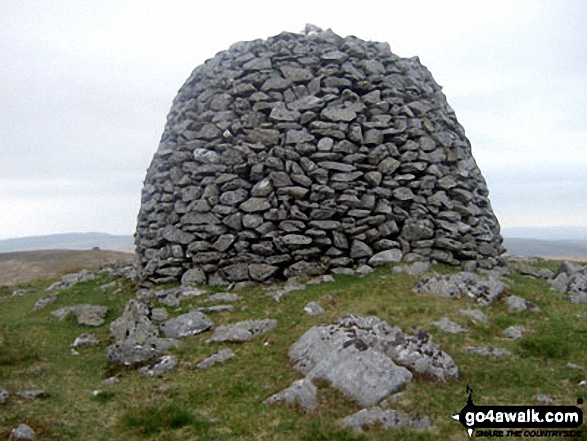 Drygarn Fawr in The South Western Area of Mynyddoedd Cambria (The Cambrian Mountains)
Photo: Colin France
Is there a Mountain, Peak, Top or Hill missing from the above google map or list?


