All the Mountains, Peaks, Tops and Hills in The Northern Area of Mynyddoedd Cambria (The Cambrian Mountains) displayed as a detailed list
The Northern Area of Mynyddoedd Cambria (The Cambrian Mountains) in Conwy and Denbighshire is defined as the area enclosed by:
- a minor road from Bwlch y Groes to Llyn Efymwy, the B4393 to Llanfyllin, the A490 to Bwlch-y-cibau and the A495 to Llynclys to the North;
- the border between Wales and England from Llynclys to the B4355 to the East;
- the B4355 from the border to Dolfor, the A483 to Newtown, the A489 to Caersws, the A470 to Glantwymyn and then the A470 to the Snowdonia National Park boundary at Aberangell the South West;
- the Snowdonia National Park boundary from Aberangell to Bwlch y Groes to the West;
If you include the Marilyns, the Bridgets (Hills) and all the Mountains, Tops, Peaks and Hills with a Trig Point on them there are 26 tops to climb, bag & conquer and the highest point is Mynydd Coch (South West Top) at 598m (1,962ft).
To see these Mountains, Peaks, Tops and Hills displayed in different ways - see the options in the left-hand column and towards the bottom of this page.
![]() Your Personal Bagging Record for The Northern Area of Mynyddoedd Cambria (The Cambrian Mountains) in
Your Personal Bagging Record for The Northern Area of Mynyddoedd Cambria (The Cambrian Mountains) in
When logged on, you can mark each Mountain, Peak, Top or Hill as 'bagged' by either:
- if you opt to display the tops in this area using a google map, click or tap on its symbol on the map below. This will open a text window. Click or tap on the 'Record [mountain name] as Bagged, Climbed & Conquered' link towards the bottom of the text window, or
- if you opt to display the tops in this area as a list, click or tap on the red 'not yet' symbol to the right of the name of each 'top'
Either method will open a new page where you can complete all your details such as:
- when you bagged the Mountain, Peak, Top or Hill;
- which route you took
- who you went with
- what the weather was like
- any other comment that will remind you of the day
Once you have completed your details and click or tap the submit button, you will automatically return to this page and the top you bagged will show with a green tick.
NB. None of the above fields are 'mandatory' - you can leave them blank if you wish.
NNB. You also have the option whether to display your peak bagging exploits to other users of this site or keep them private so only you can see them when you are logged on.
Furthermore, since you can also access your Personal Mountain & Hill Bagging Record via go4awalk Mobile you can quickly & easily record, edit and view your achievements - whether you are at home/work on your desktop computer or in the pub/at the top of a mountain with your Mobile Phone. (You can even download your Personal Mountain & Hill Bagging Record as a .csv file for importing into and saving with spreadsheet software like Excel or NeoOffice!)
This facility costs one credit to initially access your personal bagging record. Once accessed, all other interactions, such as recording other Mountains, Peaks, Tops and Hills as 'bagged' or altering an existing bagging record, are free.
Click REGISTER to register and purchase credits.
LOG ON and RELOAD this page to show which Mountains, Peaks, Tops and Hills you have already climbed, bagged & conquered. [ . . . remove this text]
See this list in: Alphabetical Order
| Height Order‡
To reverse the order select the link again.
Mountain, Peak, Top or Hill:
Bagged

![]()
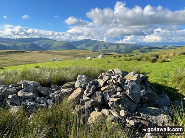
1. Mynydd Coch (South West Top)
598m (1,962ft)
Send it in and we'll publish it here.
Mynydd Coch (South West Top) is on interactive maps:
A downloadable go4awalk.com PDF Peak Bagging Map featuring Mynydd Coch (South West Top) will be available soon. |

![]()
2. Mynydd Coch
569m (1,867ft)
Mynydd Coch is on interactive maps:
A downloadable go4awalk.com PDF Peak Bagging Map featuring Mynydd Coch will be available soon. |

![]()
3. Carnedd Wen
526m (1,726ft)
Carnedd Wen is on interactive maps:
A downloadable go4awalk.com PDF Peak Bagging Map featuring Carnedd Wen will be available soon. |
![]()
4. Cyrniau (Llangynog)
488m (1,601ft)
Send it in and we'll publish it here.
Cyrniau (Llangynog) is on interactive maps:
|
![]()
5. Garreg-hir (Gareg Hir)
485m (1,591ft)
Send it in and we'll publish it here.
Garreg-hir (Gareg Hir) is on interactive maps:
A downloadable go4awalk.com PDF Peak Bagging Map featuring Garreg-hir (Gareg Hir) will be available soon. |

![]()
6. Esgair Ddu (Cambrian Mountains)
464m (1,522ft)
Esgair Ddu (Cambrian Mountains) is on interactive maps:
A downloadable go4awalk.com PDF Peak Bagging Map featuring Esgair Ddu (Cambrian Mountains) will be available soon. |
![]()
7. Beacon Ring (Long Mountain)
408m (1,339ft)
Beacon Ring (Long Mountain) is on interactive maps:
A downloadable go4awalk.com PDF Peak Bagging Map featuring Beacon Ring (Long Mountain) will be available soon. |
![]()
8. Moel y Golfa
404m (1,325ft)
Moel y Golfa is on interactive maps:
A downloadable go4awalk.com PDF Peak Bagging Map featuring Moel y Golfa will be available soon. |
![]()
9. Moel y Fronllwyd
394m (1,293ft)
Moel y Fronllwyd is on interactive maps:
A downloadable go4awalk.com PDF Peak Bagging Map featuring Moel y Fronllwyd will be available soon. |

![]()
10. Mynydd y Glyn
389m (1,276ft)
Mynydd y Glyn is on interactive maps:
A downloadable go4awalk.com PDF Peak Bagging Map featuring Mynydd y Glyn will be available soon. |
![]()
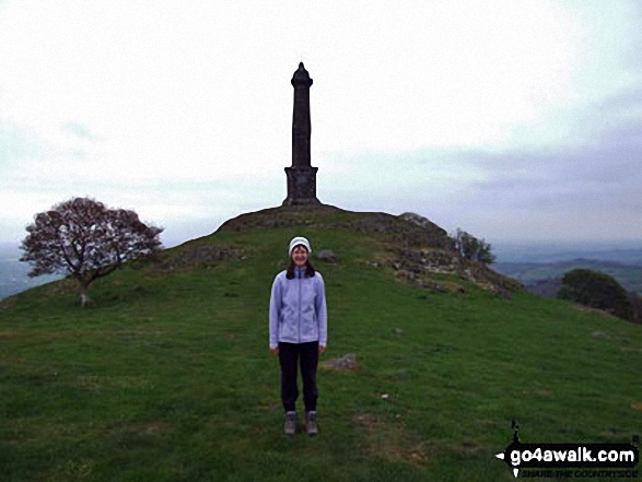
11. Rodney's Pillar (Breidden Hill)
365m (1,197ft)
Rodney's Pillar (Breidden Hill) is on interactive maps:
A downloadable go4awalk.com PDF Peak Bagging Map featuring Rodney's Pillar (Breidden Hill) will be available soon. |
![]()
12. Stingwern Hill
358m (1,174ft)
Stingwern Hill is on interactive maps:
A downloadable go4awalk.com PDF Peak Bagging Map featuring Stingwern Hill will be available soon. |
![]()
13. Allt y Main
356m (1,168ft)
Allt y Main is on interactive maps:
A downloadable go4awalk.com PDF Peak Bagging Map featuring Allt y Main will be available soon. |
![]()
14. Caeliber Isaf
355m (1,165ft)
Caeliber Isaf is on interactive maps:
A downloadable go4awalk.com PDF Peak Bagging Map featuring Caeliber Isaf will be available soon. |
![]()
15. Upper Park (Crown Wood)
352m (1,155ft)
Send it in and we'll publish it here.
Upper Park (Crown Wood) is on interactive maps:
A downloadable go4awalk.com PDF Peak Bagging Map featuring Upper Park (Crown Wood) will be available soon. |
![]()
16. Y Golfa (Castle Caereinion)
341m (1,119ft)
Send it in and we'll publish it here.
Y Golfa (Castle Caereinion) is on interactive maps:
A downloadable go4awalk.com PDF Peak Bagging Map featuring Y Golfa (Castle Caereinion) will be available soon. |
![]()
17. Moel Bentyrch
338m (1,109ft)
Moel Bentyrch is on interactive maps:
A downloadable go4awalk.com PDF Peak Bagging Map featuring Moel Bentyrch will be available soon. |
![]()
18. Mynydd y Bryn
335m (1,099ft)
Mynydd y Bryn is on interactive maps:
A downloadable go4awalk.com PDF Peak Bagging Map featuring Mynydd y Bryn will be available soon. |
![]()
19. Allt y Gader
334m (1,096ft)
Allt y Gader is on interactive maps:
A downloadable go4awalk.com PDF Peak Bagging Map featuring Allt y Gader will be available soon. |
![]()
20. Gallt y Goedhwch
326m (1,069ft)
Gallt y Goedhwch is on interactive maps:
A downloadable go4awalk.com PDF Peak Bagging Map featuring Gallt y Goedhwch will be available soon. |
![]()
21. Domen-gastell Hill (Jericho Hill)
297m (974ft)
Send it in and we'll publish it here.
Domen-gastell Hill (Jericho Hill) is on interactive maps:
A downloadable go4awalk.com PDF Peak Bagging Map featuring Domen-gastell Hill (Jericho Hill) will be available soon. |
![]()
22. Pen-caenion
296m (971ft)
Pen-caenion is on interactive maps:
A downloadable go4awalk.com PDF Peak Bagging Map featuring Pen-caenion will be available soon. |
![]()
23. Pen y Berth
287m (941ft)
Pen y Berth is on interactive maps:
A downloadable go4awalk.com PDF Peak Bagging Map featuring Pen y Berth will be available soon. |
![]()
24. Yr Allt (Welshpool)
228m (748ft)
Send it in and we'll publish it here.
Yr Allt (Welshpool) is on interactive maps:
A downloadable go4awalk.com PDF Peak Bagging Map featuring Yr Allt (Welshpool) will be available soon. |
![]()
25. Llanymynech Hill
226m (741ft)
Llanymynech Hill is on interactive maps:
A downloadable go4awalk.com PDF Peak Bagging Map featuring Llanymynech Hill will be available soon. |
![]()
26. Gallt yr Ancr
224m (735ft)
Gallt yr Ancr is on interactive maps:
|
View these 26 Mountains, Peaks, Tops and Hills in Mynyddoedd Cambria (The Cambrian Mountains) in :
- On an Interactive Google Map (loads faster)
- On an Interactive Google Map with a list of tops below it (makes it easier to locate a particular top)
- On a Detailed List in:
Alphabetical Order | Height Order - On one page with 'yet-to-be-bagged' listed 1st & then 'already-bagged' tops listed 2nd in:
Alphabetical Order | Height Order - On one page with 'already-bagged' tops listed 1st & then 'yet-to-be-bagged' tops listed 2nd in:
Alphabetical Order | Height Order
Is there a Mountain, Peak, Top or Hill missing from the above google map or list?
Let us know an we will add it to our database.

To contribute to go4awalk.com or to contact us about anything at all - see Talk To Us.
For help see Help.
go4awalk.com and go4awalk.co.uk are registered trademarks of TMDH Limited.
Copyright © 2000-2025 TMDH Limited. All rights reserved.
Copyright Terms & Conditions Privacy Statement
A - Z Walks Home Log On/Accounts Photo Gallery Walk Ideas and Collections Fell Facts Hill Skills Walking Questions and Answers Your Stories News Competitions Product Reviews/Gear Tests Walking Gear Guides Peaks and Mountains Peak Bagging Find New Walking Friends Camping GPS Waypoints for Walking Contents Walk Search Talk To Us go4awalk.com Help Free Example Walks Newsletter


